
Discover Bradfield
Bradfield is a town located in South Yorkshire, governed by Sheffield City Council. With a population of around 17,000, it falls within the S6 postcode area. Notable for its rural landscapes and the historic Bradfield Parish Church, the town offers a glimpse into traditional English countryside living.
Explore the map below to discover accommodation, attractions, restaurants, and live events across Bradfield. Scroll down to browse featured listings and plan your perfect visit.
Stay in Bradfield
Plough Cottage
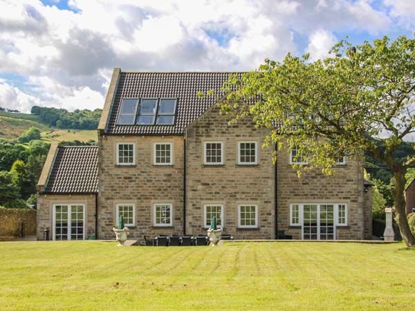
Hartcliffe View
Martin's Guest House
Experience a warm welcome and highly-rated accommodation at Martin's Guest House in Sheffield.
Things to Do in Bradfield
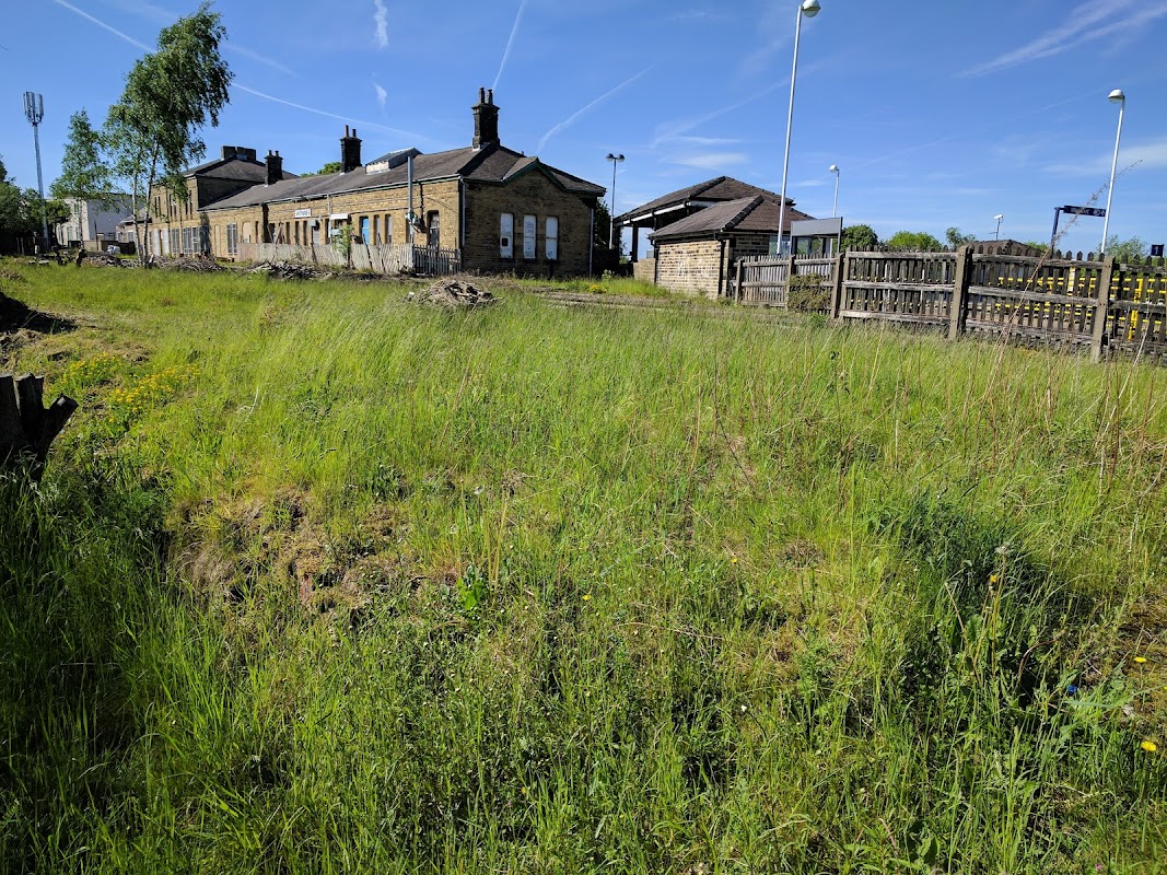
Penistone Station Wildflower Nature Reserve
Discover Penistone Station Wildflower Nature Reserve, a tranquil spot perfect for exploring the Trans Pennine Trail.
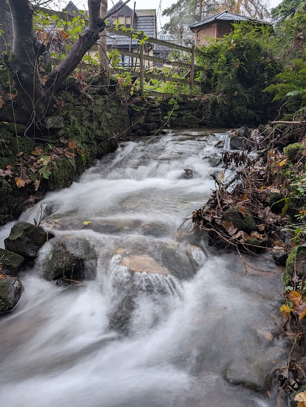
Sensicall Park
Sensicall Park in Oughtibridge, Sheffield, offers a delightful woodland escape with charming small waterfalls and a serene stream. Ideal for nature lovers, this hidden gem provides a peaceful retreat just outside the city. Be mindful of the natural surroundings as you enjoy your visit.
Upper Don Trail
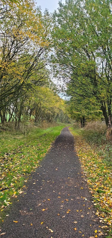
Located in the picturesque village of Millhouse Green, the Upper Don Trail offers convenient parking for visitors exploring the scenic routes of the C2C trans Pennine trail. This pay-and-display facility ensures easy access to the beautiful walking and cycling paths that stretch through the heart of Yorkshire's natural landscapes.
Food & Drink
Ranmoor Bawarchi
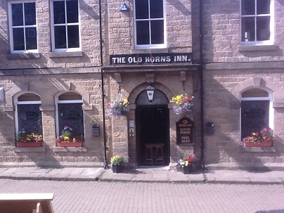
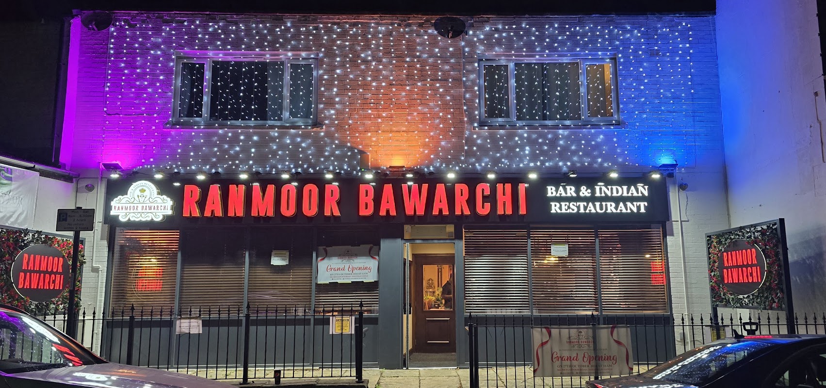
Experience authentic Hyderabadi Indian cuisine with bold, aromatic flavours at Ranmoor Bawarchi, a highly-rated Sheffield favourite.
Intenso Cafe Bar
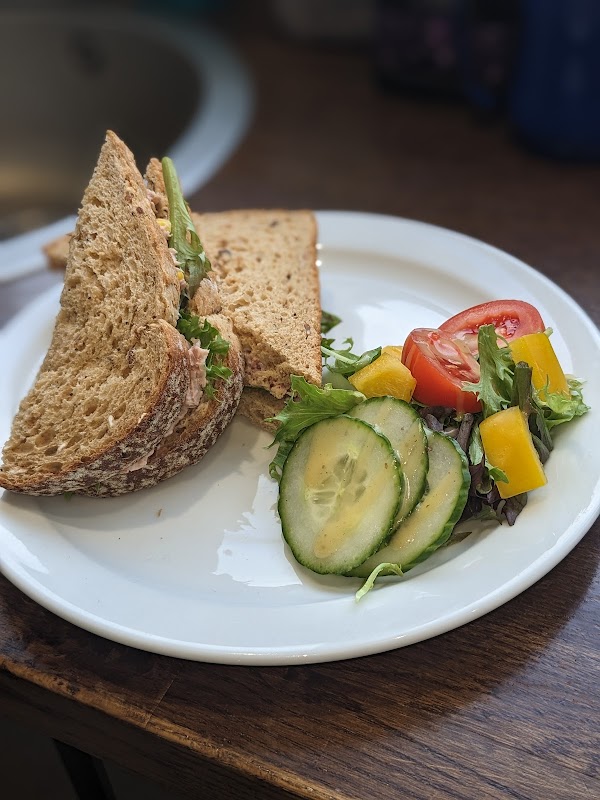
Discover Intenso Cafe Bar in Stocksbridge, a highly-rated spot for delicious, freshly-made food and friendly service.

Interactive Map
View accommodation, attractions, restaurants, and events on the map
Geographic Facts
This town is geographically within the following regions:
- Population
- 17,402
- Postcode
- S6
- Administrative area
- Sheffield
Data sourced from Wikidata and verified public records
Upcoming Events in Bradfield
View All Events in Bradfield →

Latest news from Bradfield
All Local News →
Support Dogs Pup India's Job Will Be to Help Others - Just Like Policeman Namesake
A Sheffield businessman honours his late father, a former police officer, with an emotional tribute: naming a Support Dogs puppy India after his call sign.

Walkshire in Bradfield
More Walks in Bradfield →
Walk: Bradfield and Agden Reservoir
A great walk taking in the woods and fields in the Ryburn Valley between the Ryburn and Baitings Reservoirs. The Route what3words for start point: ///pilots.large.voices Start / Finish Point: Car park off The Sands road in Low Bradfield, S6 6LA Distance: 5 Miles GPX Route Map walkshirebradfieldandagdenDownload Walk Description From the entrance of the car park, turn right and head along the walled track along the car park and playground, towards the footbridge and ford. Don’t cross the river, but instead head up the stream along the riverside path to the next bridge. Cross this bridge and carry on up the steps on the far bank to a stone stile and gap in the wall. Head left after the wall and then up the enclosed path alongside a field to get to a road. Cross the road carefully, and go through the gate in the direction of the public footpath sign. The path here is clear on the ground, to reach a stile. Then, keep close to the right-hand edge of the next field, and to the left-hand wall of the next narrow field, to get to the gate at the top. In the next field, keep the wall on your right and head for the church tower. At the churchyard, go through the gate and walk along the path round to the road. The path goes uphill for a short while, then goes left over some stone steps on a public footpath running through the church grounds. Keep on the path, near to the wall, to the edge of the wood. Once in the woods, continue straight ahead as the path drops slightly. After a while, the path heads left in between some stone posts. At the bottom of the hill, go through a gate, across a stream, and the path curves left to become a walled lane. At the end of the left-hand wall, turn right, then left across the field, keeping the scattering of trees on your right. Go to the right of the big trees on the left, following the path on the ground. Turn right between two groups of trees, then left, keeping a line of trees to your left. The path swaps to the left side of the trees, past some buildings and then to the left between stone walls to reach a road. Climb the stone stile, turning left on the road, then right down the side road. Turn left at the wooden stile, and follow the path as it drops all the way down to a wood. Follow the path to the right, then left at the field wall to reach the Agden Reservoir. Turn right, past the end of the reservoir and follow the path as it turns to the left and crosses Agden Dike. Continue on the path as it follows a line of trees on the left, and then to the left again to cross Emlin Dike. Follow the footpath all the way to meet Windy Bank road. Turn left, to follow the road towards the embankment at the southern edge of the reservoir. Carry on, and turn left at the T-junction, then turn left again to return to the car park.

Walk: Dale Dike Reservoir
A beautiful short countryside walk located just outside Sheffield and through Bradfield Dale. The Route what3words for start point: ///curving.shrimp.tricky Start Point: Strines Finish Point: Strines Distance: 4 Miles GPX Route Map daledikereservoirDownload Walk Description Stroll around this reservoir for amazing views of Bradfield Dale, Boot's Folly and the surrounding area. Don't forget to call into Low Bradfield or the adjacent High Bradfield for an excellent welcome from the local pubs and cafes.

Walk: More Hall Reservoir
A quick burst of the outdoors on this easy walk around More Hall Reservoir, near Ewden, Sheffield. The Route what3words for start point: ///reshape.reinstate.intervene Start Point: Off-street parking around New Mill Bank Road, S36 4ZD Finish Point: New Mill Bank Road, S36 4ZD Distance: 3 Miles GPX Route Map walkshire20more20hall20reservoirDownload Walk Description From wherever you have parked, head towards the junction of roads at the south end of Ewden village. With the fence and the Yorkshire Water signs in front of you, turn left and keep to the road on the right of the junction. Walk along the road, called New Mill Bank, which runs parallel with the northern shore of the reservoir shore for around a mile. Steal views of the reservoir through the trees and vegetation as you walk. At the stone reservoir building, enter the embankment via the pedestrian gate, and cross the embankment to the southern end of the dam. Turn right and follow the footpath along the southern shore of the reservoir, always keeping the water on your right. Towards the end of the reservoir, the path forks, and here, take the right-hand fork to continue to a green gate. Head through the gate (which is compatible with a radar key for anyone requiring wheelchair or mobility vehicle access) and continue until you meet the road. Turn right, being careful for vehicles on this narrow country lane, and follow the road over the bridge to the junction of roads and back to where you parked your car. Stay nearby

Damflask Reservoir Walk
A short hop from Sheffield this reservoir walk promises stunning views of the Peak District and great hospitality in the locals villages. The Route what3words for start point: ///once.oiled.rocks Start Point: Lower Bradfield Finish Point: Lower Bradfield Distance: 3 Miles GPX Route Map damflaskreservoirDownload Walk Description The walk hugs the shore of the reservoir for most of its route but is interspersed with nice little woodland sections. It's circular path with some ups and downs so be careful around those with accessibility needs but it shouldn't be too challenging. Watch out for the hardy souls of the local yacht club who are usually out in all weathers.