
Discover Burrill
Burrill is a village located in North Yorkshire. This small community is part of the Hambleton District, governed by North Yorkshire Council. Burrill is known for its proximity to the scenic landscapes of the Yorkshire Dales, providing visitors with access to nature trails and outdoor activities.
Explore the map below to discover accommodation, attractions, restaurants, and live events across Burrill. Scroll down to browse featured listings and plan your perfect visit.
Stay in Burrill
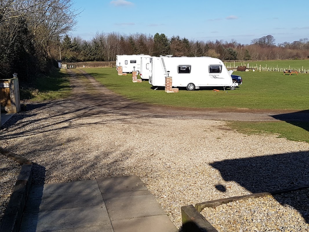
Bedale Camping & Caravanning Park
Discover a small, friendly, and exceptionally clean base for exploring North Yorkshire, boasting superb facilities.
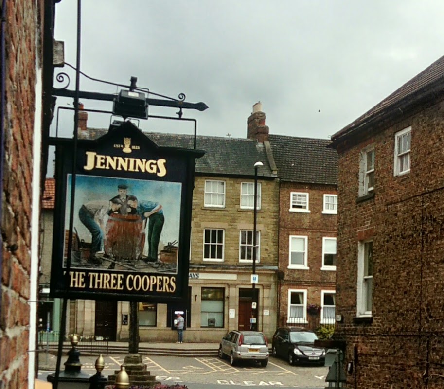
The Three Coopers Limited
The Three Coopers is a welcoming inn and pub in Bedale, offering comfortable accommodation and a friendly local atmosphere.

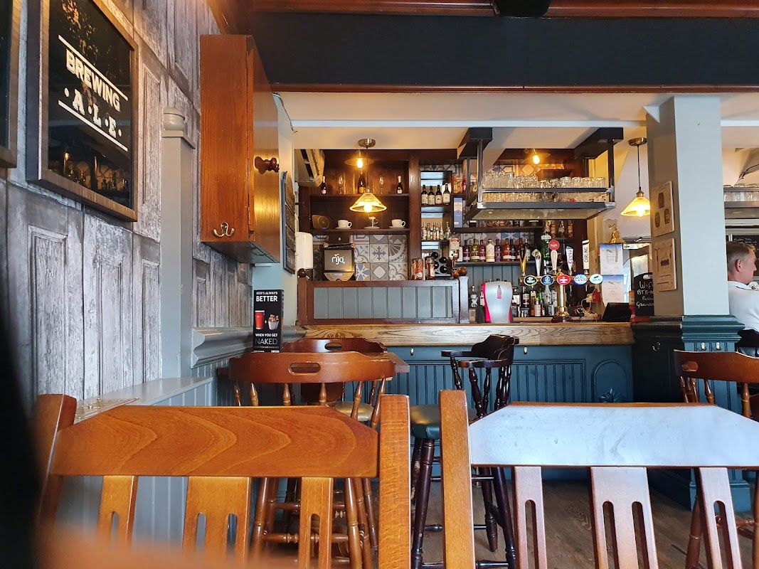
The Green Dragon at Bedale
Enjoy delicious food and excellent service at The Green Dragon, a highly-rated restaurant and pub in the heart of Bedale.
Things to Do in Burrill
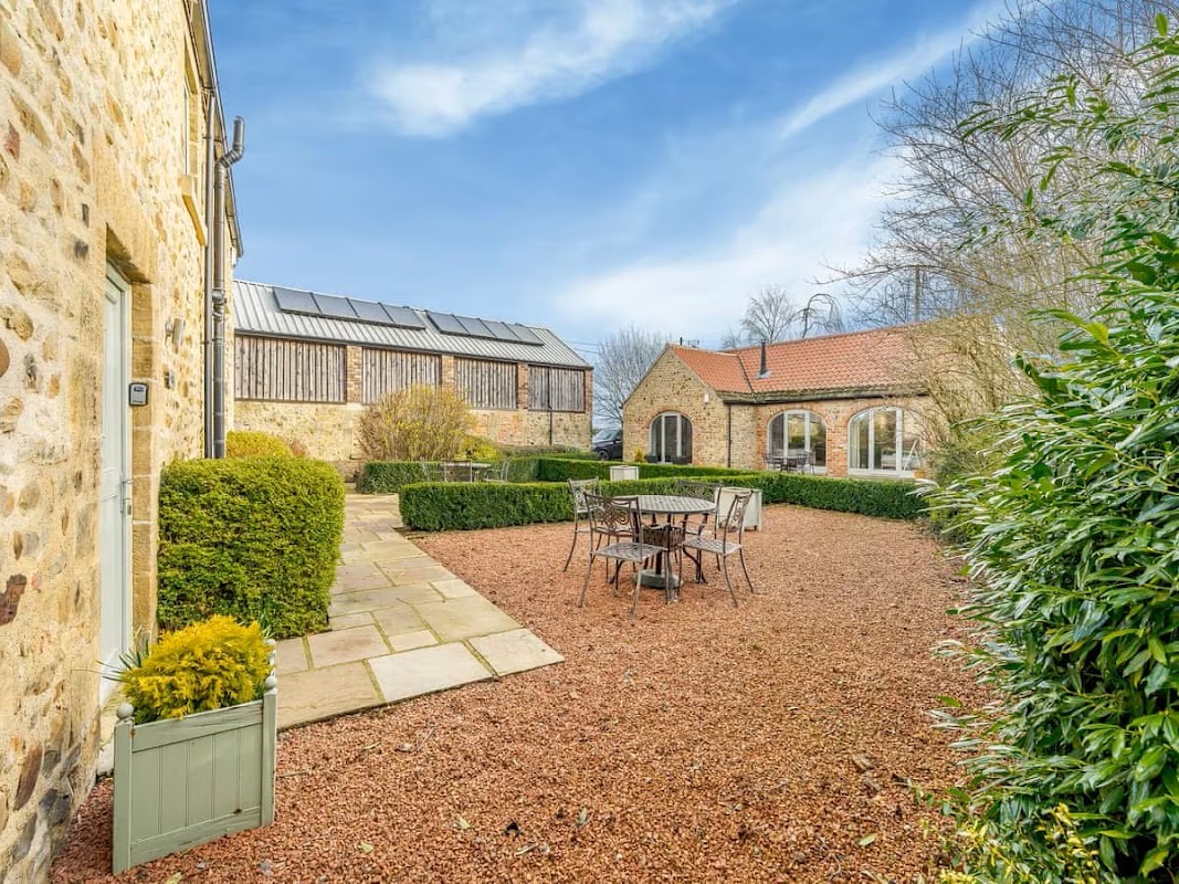
Bedale Camping & Caravanning Park
Discover a small, friendly, and exceptionally clean base for exploring North Yorkshire, boasting superb facilities.
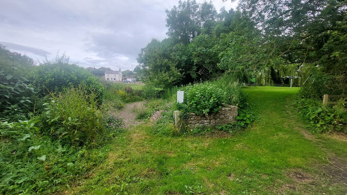
The Pinfold
The Pinfold in Crakehall offers convenient parking for visitors exploring the charming village of Little Crakehall. Located at 2 Brookside, this facility is ideally situated for those wishing to discover the historical landmarks and points of interest in the area. While payment options are not specified, it is likely a standard pay-and-display car park, ensuring easy access to local attractions.
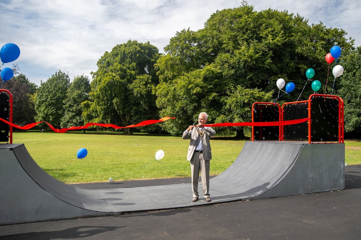
Bedale Skate Park
Unleash your skills at Bedale Skate Park, a dynamic outdoor space perfect for skateboards, scooters, and BMX.
Food & Drink
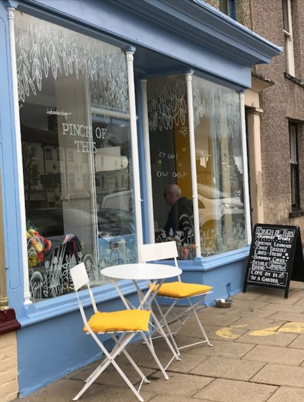
Pinch of This
Discover Pinch of This in Bedale, a highly-rated spot (4.9/5) known for delicious breakfasts, wholesome lunches, and warm, dog-friendly service.
The Three Coopers Limited
The Three Coopers is a welcoming inn and pub in Bedale, offering comfortable accommodation and a friendly local atmosphere.
The Green Dragon at Bedale
Enjoy delicious food and excellent service at The Green Dragon, a highly-rated restaurant and pub in the heart of Bedale.
Browse by Type

Interactive Map
View accommodation, attractions, restaurants, and events on the map
Geographic Facts
This village is geographically within the following regions:
- Administrative area
- Burrill with Cowling
Data sourced from Wikidata and verified public records




Latest news from Burrill
All Local News →
From Local Farm to National Shelves: How a North Yorkshire Rapeseed Oil Business Wins Listing with Garden Centre Chain
A North Yorkshire farm business, Charlie & Ivy's, has landed a major nationwide listing! Find their award-winning rapeseed oil bread dippers in Dobbies now.
Walkshire in Burrill
More Walks in Burrill →
Walk: Thorp Perrow Arboretum
Enjoy the healing and soothing power of trees in this easy walk around Thorp Perrow Arboretum. The Route what3words for start point: ///contained.packages.respect Start / Finish Point: Car park for Thorp Perrow Arboretum, Bedale, DL8 2PS Distance: 2 Miles GPX Route Map walkshirethorpperrowarboretumDownload Walk Description From the car park, head into the Arboretum through the entrance (charge applies) and walk over the right hand footbridge, then turn right to reach a main track. Turn left and almost immediately turn right, to walk along the Water Steps Path by the side of the lake. Ignore the bridge over the lake on the right, and carry on over a footbridge on this path to reach a junction. Turn right, to keep the lake to your right.walking past Henry’s Island and past Kate’s Island. Turn right over the next bridge and walk past The Falcons. Turn left, then left again to walk on Birch Avenue for a short while, before turning right down Red Oak Avenue. Walk right to the end, then do a sharp left to walk down Rowan Avenue, all the way to the Jubilee Oak. Take the second right exit to walk down Broad Walk, turning right at the end and turning left around the bend to walk down Jenny’ Walk to the Main Avenue. Turn right, then immediately left, down either Acer Glade or Laburnum Walk to cross over the middle footbridge back to the entrance.

Walk: Bedale to Northallerton
Enjoy a peaceful point-to-point walk through the gentle lowlands of North Yorkshire, linking two historic market towns via riverside paths, quiet villages and open fields. This 10-mile route from Bedale to Northallerton is ideal for a day of relaxed walking, with minimal elevation and train access at both ends. The Route Distance: 16.1 km (10 miles)what3words for start point: ///prefect.sadly.slapStart: Bedale market placeFinish: Northallerton market placePublic Transport: Train stations at both ends GPX route map Use the interactive map below to follow the route from Bedale through Aiskew, Scruton, and Ainderby Steeple to Northallerton. This GPX file can be downloaded and used with most navigation apps or GPS devices for offline access. bedale-to-nortallerton-routeDownload Walk Description This low-elevation ramble begins in the market town of Bedale, quickly heading east into Aiskew before opening out into the wide, flat farmland of the Vale of Mowbray. Following field paths and rural tracks, you’ll enjoy open views and countryside. The route passes through the quiet village of Scruton — a conservation village known for its traditional stone cottages. Soon after leaving the village, the route crosses the River Swale via the A684. This is a major road, so care is needed when crossing, but there is a pavement and clear visibility. Beyond the Swale, the walk continues to Ainderby Steeple, home to an attractive church and a peaceful green — perfect for a rest. From here, the route heads slightly north. As you near Northallerton, the walk skirts the edge of Romanby Golf Club and crosses the River Wiske. This part of the walk offers a change of character, with glimpses of fairways. The final stretch into Northallerton crosses rail routes, ending just a short walk from the town centre and railway station. With two river crossings, historic villages and gentle scenery, this is a versatile route ideal for a half-day’s walk through one of Yorkshire’s most accessible rural landscapes.