
Discover Burton Agnes
Burton Agnes is a village located in the East Riding of Yorkshire, governed by East Riding of Yorkshire Council. With a population of 497, it falls under the YO25 postcode district. Visitors can explore Burton Agnes Hall, a notable Elizabethan manor house, which showcases the village's rich historical heritage.
Explore the map below to discover accommodation, attractions, restaurants, and live events across Burton Agnes. Scroll down to browse featured listings and plan your perfect visit.
Stay in Burton Agnes
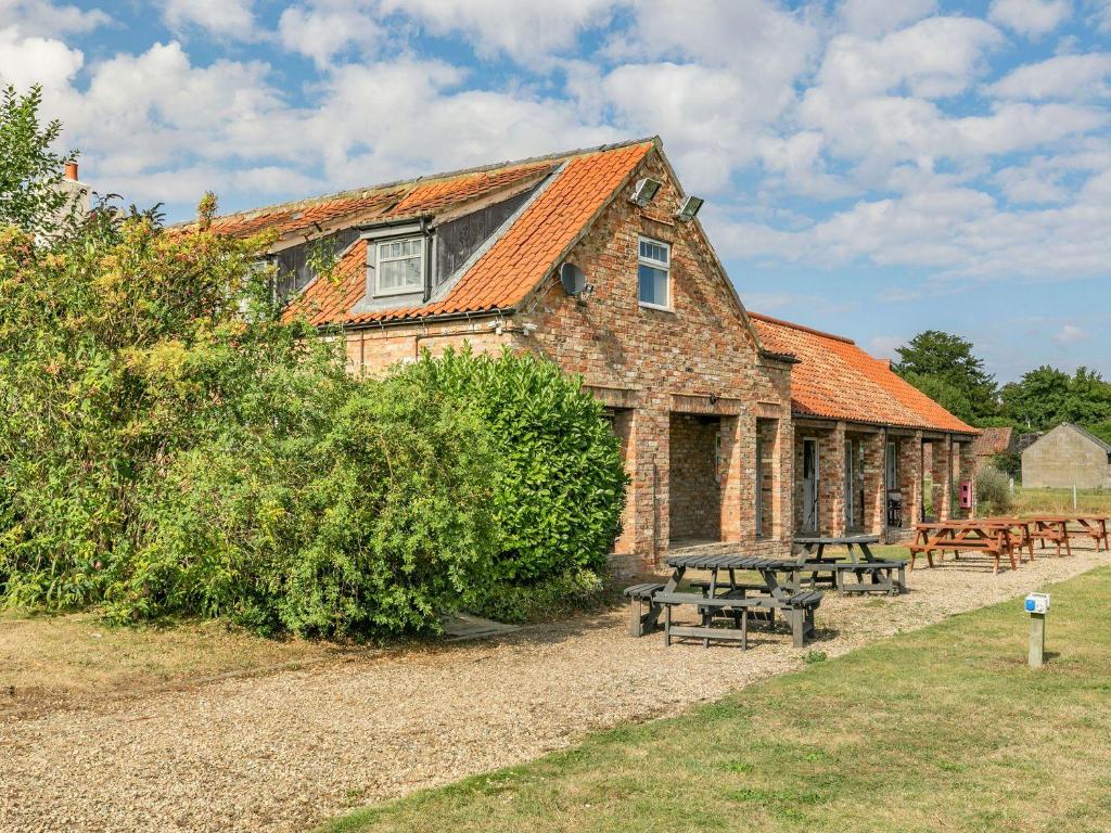
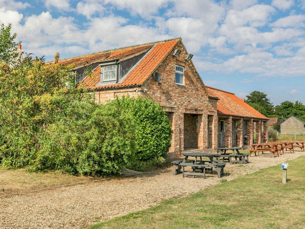
The Blue Bell
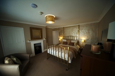
St Quintin Arms
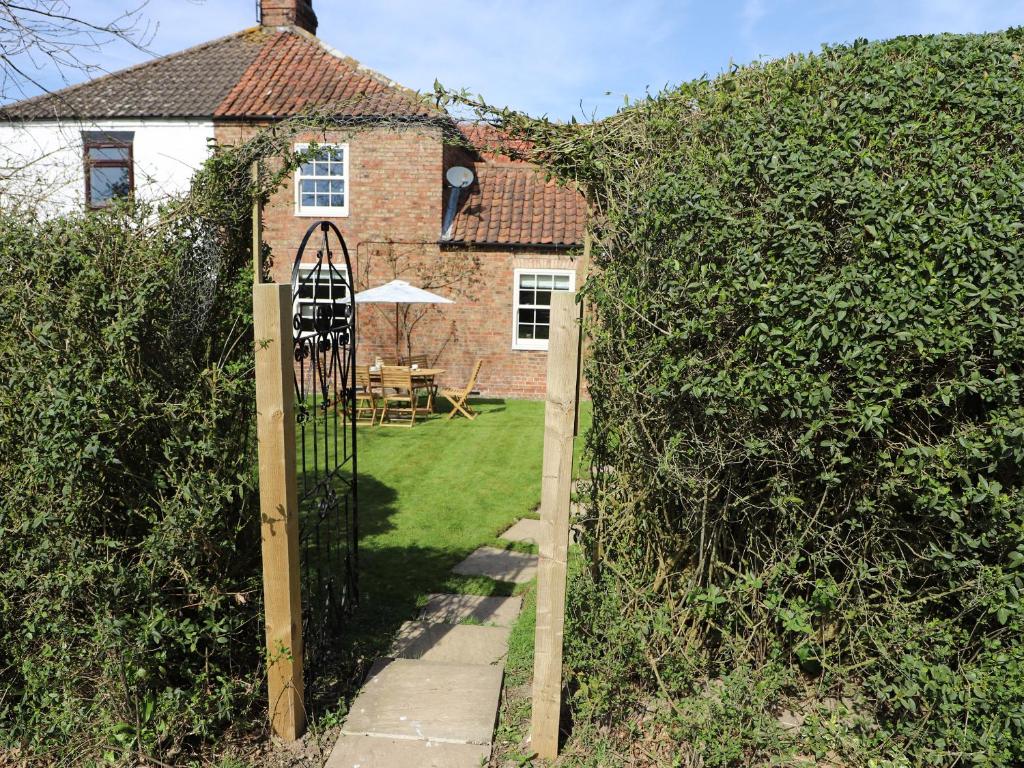
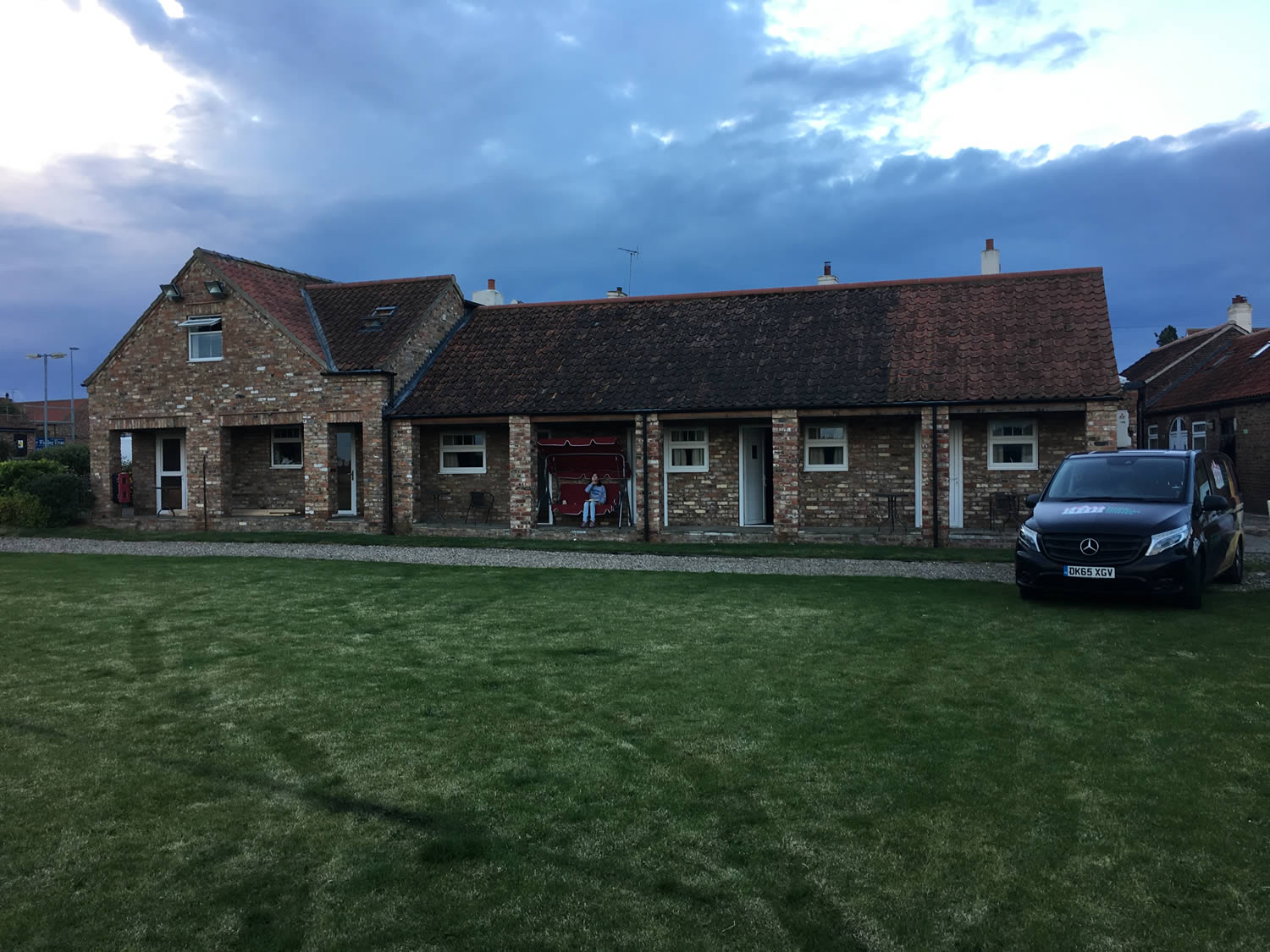
The Blue Bell
Plough Cottage
Browse by Type
Things to Do in Burton Agnes

John Bull's Candy Kingdom
St John’s Well
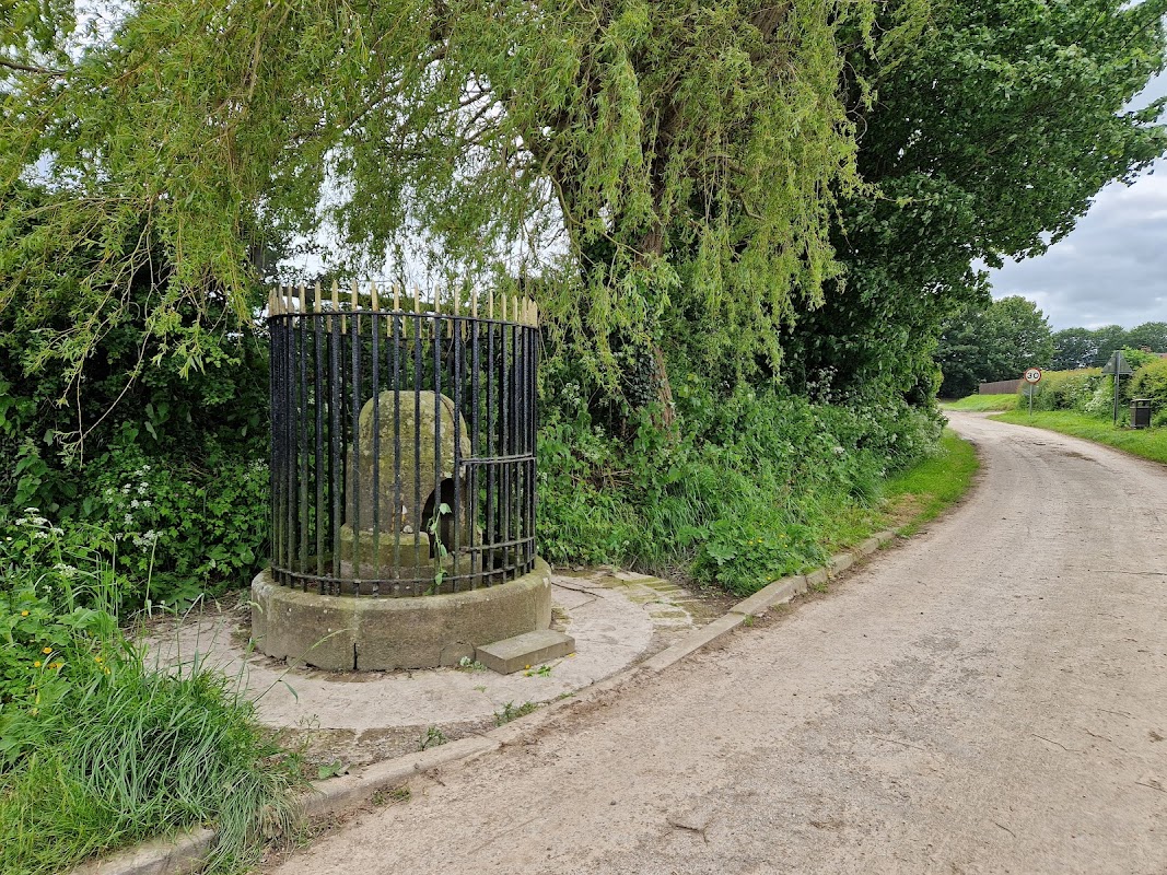
St John's Well in Harpham offers a serene spot for visitors to explore a piece of history, with its Grade II listed status and connection to St. John of Beverley. While parking details are not explicitly mentioned, it is likely a pay-and-display facility given the typical setup in the area. Enjoy a peaceful visit with a bench nearby to relax and soak in the tranquil surroundings.
Kilham Playing Field
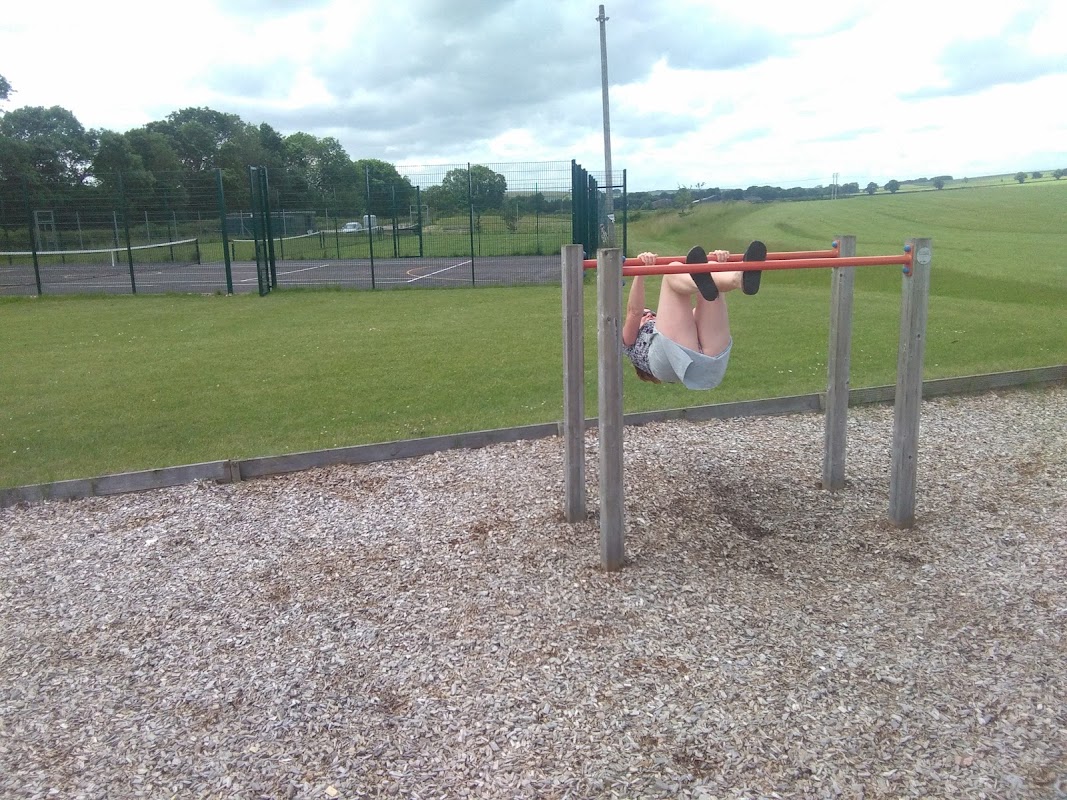
Kilham Playing Field offers a delightful outdoor experience for families visiting Yorkshire. Located in the charming village of Kilham, this park features a full-size football pitch, tennis and netball courts, a sand pit, and a thrilling zip wire, all set amidst beautiful natural surroundings. With ample free parking available, it's an ideal spot for a leisurely day out with plenty of play equipment and picnic areas.
Browse by Type
Food & Drink

Colemans Cider Company
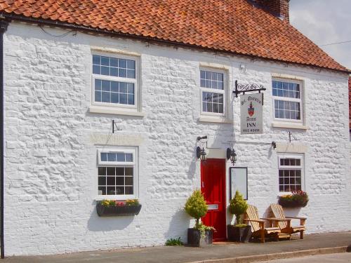
St Quintin Arms
St Quintin Arms, located in the charming village of Harpham, offers convenient pay-and-display parking for guests visiting this delightful inn and pub. Enjoy a warm and welcoming atmosphere with delicious, locally sourced food and a great selection of drinks, making it an ideal stop for travelers exploring the Driffield area.
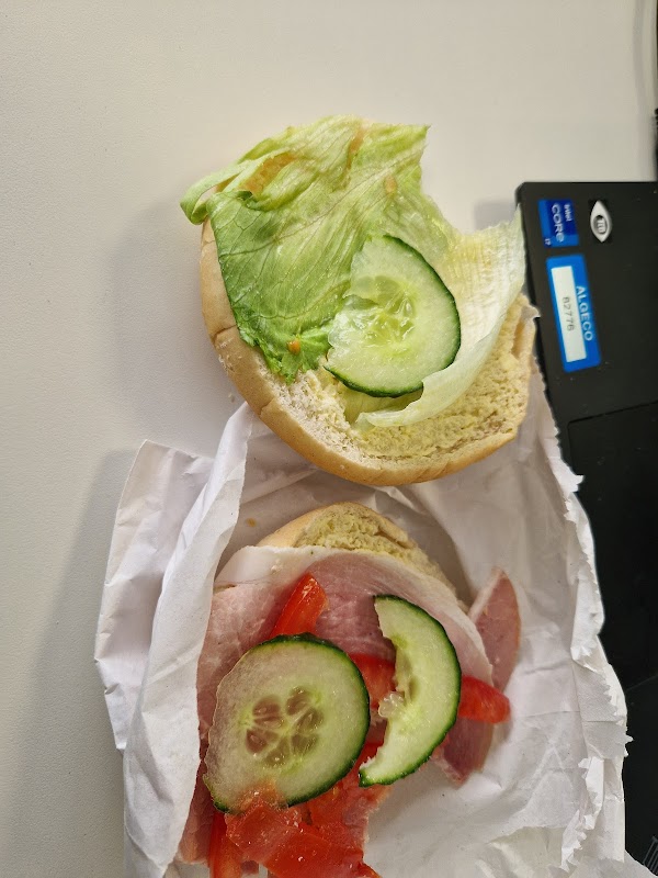
St Quintin's Cafe & Takeaway
St Quintin's Cafe & Takeaway in Carnaby offers a convenient stop for travelers exploring Driffield, with easy access to nearby attractions. While primarily a dining establishment, parking is likely available nearby, typically in pay-and-display format, ensuring a hassle-free visit to this quaint café.

Interactive Map
View accommodation, attractions, restaurants, and events on the map
Geographic Facts
This village is geographically within the following regions:
- Population
- 497
- Postcode
- YO25
- Administrative area
- East Riding of Yorkshire
- Dialing code
- 01262
Data sourced from Wikidata and verified public records
Upcoming Events in Burton Agnes
View All Events in Burton Agnes →




Latest news from Burton Agnes
All Local News →
Goole & Howdenshire Business Excellence Awards – Winners: The Complete List of 2026 Honorees
The Goole & Howdenshire Business Excellence Awards 2026 was a huge celebration. See the full list of winners from the record-breaking ceremony in Yorkshire.

What Are the Best Dog-Friendly English Heritage Sites for a Family Day Out?
Take the whole family on an adventure! Explore hundreds of dog-friendly English Heritage sites, from castles to gardens. Get tips & a special membership offer.
Walkshire in Burton Agnes
More Walks in Burton Agnes →
Walk: Burton Agnes Circular
This circular walk from Burton Agnes in East Yorkshire through Kilham and Harpham is perfect for well-behaved dogs, offering off-lead opportunities through fields and quiet paths. There's a great spot for a paddle halfway through. The terrain is mostly flat with scenic views of the Yorkshire Wolds. Expect muddy field paths and tracks after rain, and varying conditions in arable fields. Waymarking is intermittent, so downloading offline maps is recommended for guidance. You'll encounter several gates and five stiles, with some requiring help for dogs. Be cautious of electric fences. Plan for 3-5 hours to complete the walk. The Route what3words for start point: ///beams.outwards.reception Start Point: Burton Agnes Finish Point: Burton Agnes Distance: 6.7 Miles GPX Route Map burton-agnes-circularDownload Walk Description Path Alongside Sportsfield From the village pond in Burton Agnes, head towards the main road, turn left along the grass verge to the Blue Bell Hotel. Cross the road and follow the Yorkshire Wolds Cycle route No.1, passing Burton Agnes C of E Primary School and Nursery. After the sports club, turn left through a hedge gap to a footpath along the crop field's edge with a fenced football field on your left. Sandy Lane Continue on the wide, grassy path through a gap in the hedge. Pass a yellow waymarker and head diagonally uphill. Cross into the next field through a hedge gap, following the obvious path with views of the Yorkshire Wolds. Pass through a metal gate onto Sandy Lane. Sewage Works Cross Sandy Lane and continue through a hedge gap onto an undulating path. Climb a stile and head towards a gate. Follow the path diagonally across fields, passing through waymarked gates. Reach a tarmac road, turn right downhill, then follow a wooden footpath sign left along a field edge. Continue past the sewage works. Bracey Bridge Follow the wide green track with a beck to the right. Turn sharp left up a bank to a marked field path. Continue through fields via way markers, heading towards tall trees. Cross the road and descend steps to Bracey Bridge picnic area. Harpham Village Pass the picnic tables and cross the lay-by road through a kissing gate onto a tarmac track. Follow footpath signs through kissing gates and fields, crossing Low Thorpe Beck. Continue past farm buildings to a quiet road leading to Harpham village. Finish From St Quintin Arms, turn left at the crossroads towards Bridlington. Turn right onto a path, following waymarkers over stiles and fields towards Burton Agnes. Cross a bridge and stiles, then follow the path towards the village. Turn right onto the road and return to the village pond. Afterwards Why not take a look round Burton Agnes Hall or stay the night at the Blue Bell.

Walk: Boynton and Rudston
A long walk around the countryside of the East Yorkshire villages of Rudston and Boynton, just inland from Bridlington. The Rudston monolith is viewable from this walk. At over 25 feet it is the tallest megalith in the United Kingdom. The monument dates to the Late Neolithic or Early Bronze Age. The many other prehistoric monuments in the area include four cursuses (ditches or trenches built between 3400 and 3000 BC), three of which appear to converge on the site of the monolith. The Route what3words for start point: ///ironclad.disco.outright Start Point: Burton Agnes Balk, YO25 4UW. Please park considerately for local residents Finish Point: Burton Agnes Balk Distance: 6.5 Miles GPX Route Map walkshirerudstonandboyntonDownload Walk Description From wherever you have parked, head towards South Side Lane, and start to walk down the road. After a track to a barn on the left, the road becomes more of a track and can get fairly muddy. Follow this track as it heads alongside fields and eventually comes to a collection of trees. Follow the track to the right, then to the left. The track then turns to the right, but here, follow the footpath straight ahead into the wood. The wood is at its narrowest point here, so you’ll be soon out on the other side. Follow the path to the right, to keep the wood on your right hand side. At the field boundary, turn left, following the path as it turns right at the next wood - which will be on your left hand side. Soon, the path stops following alongside this wood and heads straight through it, only to leave vert shortly afterwards. Walk past the two solitary trees to a junction of paths. Carry on, heading towards the right slightly to meet a road, called Woldgate. Turn left, and walk along this old Roman Road. Keep walking until you see a public footpath sign pointing to the left. Following this path between the fields to reach Home Farm. Go through the farm and cross over the footbridge, through the wood to reach the village of Boynton. Turn left at the first road and walk through the hedge-lined path into the field. Follow the clear line on the ground towards the wood in the far distance. Keeping the wood on your right, follow the line of the trees to reach a road. Turn right, and then left on the B1253. Carefully follow the B1253, and just after the brick walls of a caravan park, there’s a footpath sign pointing to the left, with a protective fence around the exit. Follow the line of the path on the ground and soon this path becomes the road Eastgate. Continue to follow Eastgate to return to where you are parked.