
Discover Buttercrambe
Buttercrambe is a village located in North Yorkshire, under the governance of North Yorkshire Council (formerly Ryedale). It lies near the River Derwent, contributing to its agricultural landscape. Historically, the area has been significant for its rural development and offers visitors a glimpse into traditional English village life.
Explore the map below to discover accommodation, attractions, restaurants, and live events across Buttercrambe. Scroll down to browse featured listings and plan your perfect visit.
Stay in Buttercrambe
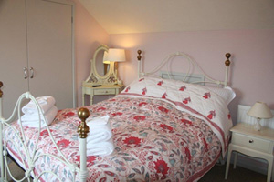
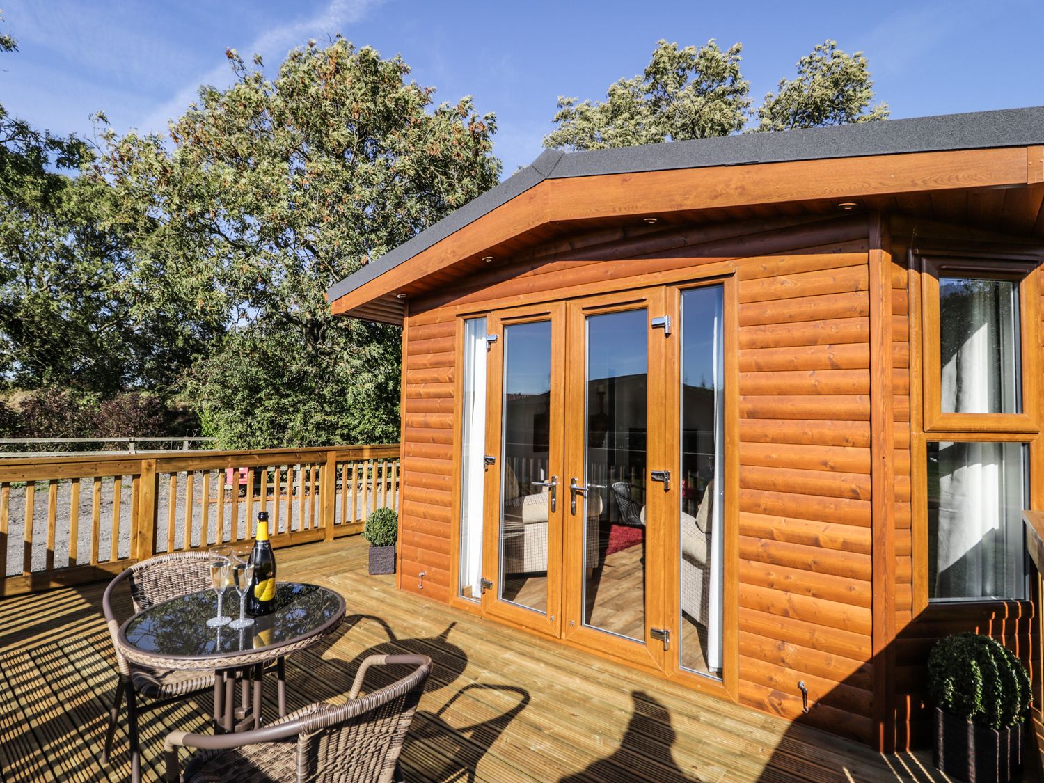
Beech Tree Lodge
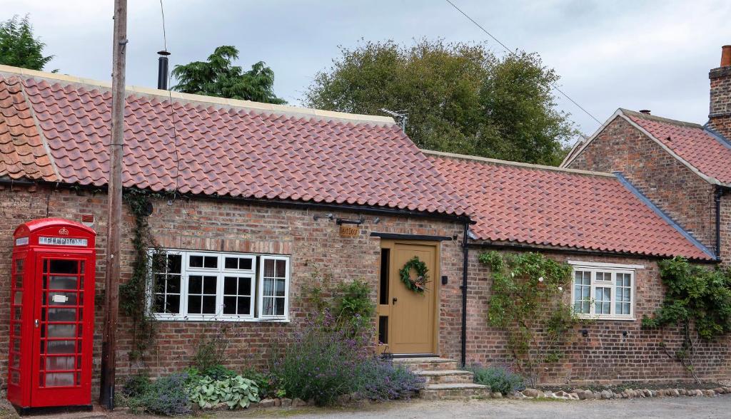
TOFY (The Old Forge York)
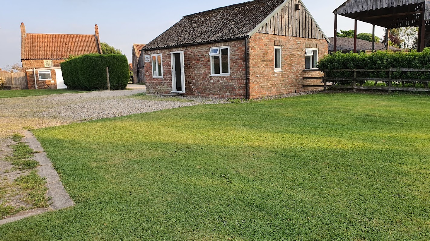
Harton Caravans
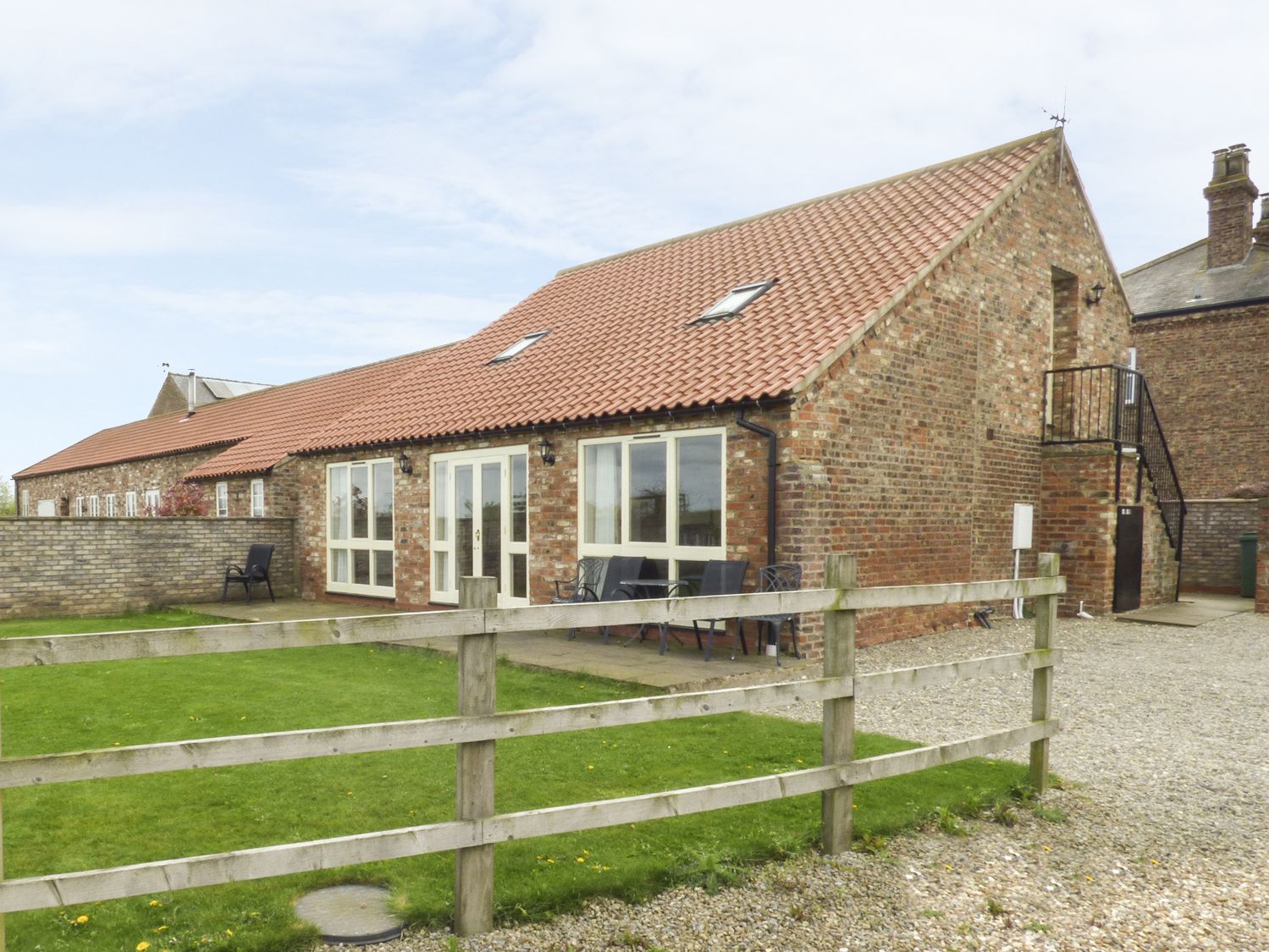
Harton Caravans offers a serene and welcoming environment for tourists visiting North Yorkshire. Located at Pear Tree Farm, this charming caravan site provides a tranquil escape with amenities like a games room and clean shower facilities. Ideal for those looking to explore the nearby attractions, it promises a peaceful retreat amidst the countryside.
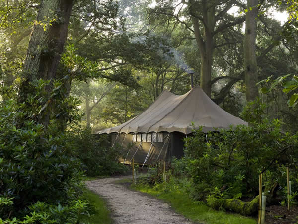
Jollydays Glamping
Browse by Type
Things to Do in Buttercrambe
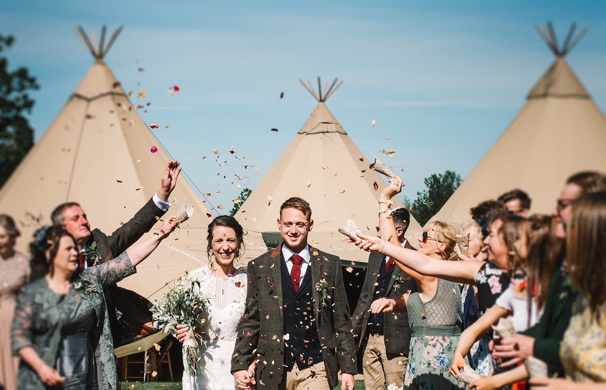
Aldby Park Weddings - Marquee Wedding Venue
Aldby Park Weddings offers a picturesque setting in Buttercrambe, just outside York, perfect for a memorable wedding experience. While primarily a wedding venue, visitors can enjoy the scenic beauty and historic charm of the manor. Parking is available on-site, with payment options including credit and debit cards.
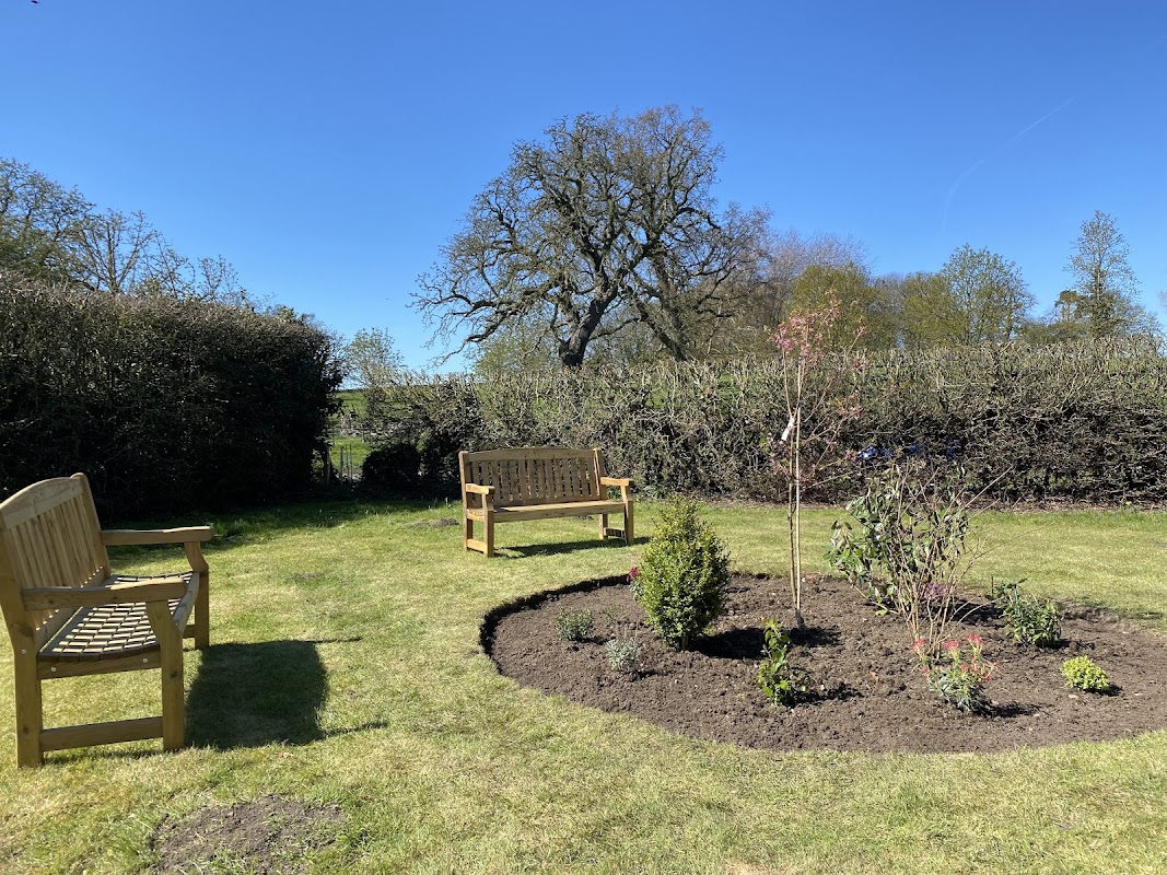
Stoney Hills Community Garden
Located in the charming village of Buttercrambe, near York, the Stoney Hills Community Garden offers convenient parking for visitors exploring the local area. While the payment options are not specified, it is likely a pay-and-display facility, making it easy for tourists to enjoy the nearby attractions without parking concerns.
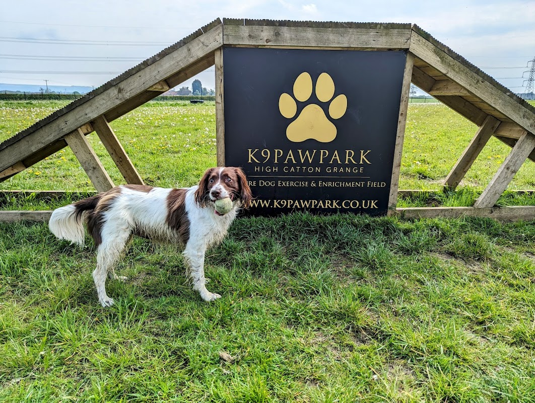
K9pawpark
K9pawpark in High Catton offers a delightful experience for dog lovers visiting Yorkshire. This expansive dog park provides ample space for dogs to play and enjoy, with facilities thoughtfully designed for safety and comfort. Visitors can relax in the shelter while their pets have a great time in the well-maintained park.
Browse by Type
Food & Drink
Loading restaurants and pubs...

Interactive Map
View accommodation, attractions, restaurants, and events on the map
Geographic Facts
This village is geographically within the following regions:
- Administrative area
- Buttercrambe with Bossall
Data sourced from Wikidata and verified public records




Latest news from Buttercrambe
All Local News →
From Local Farm to National Shelves: How a North Yorkshire Rapeseed Oil Business Wins Listing with Garden Centre Chain
A North Yorkshire farm business, Charlie & Ivy's, has landed a major nationwide listing! Find their award-winning rapeseed oil bread dippers in Dobbies now.
Walkshire in Buttercrambe
More Walks in Buttercrambe →
Walk: Stamford Bridge to Kexby Return
A picturesque circular riverside walk from Stamford Bridge to Kexby returning via woodland, fields and a disused railway line. The Route what3words for start point: ///skidding.ramble.circles Start / Finish Point: Stamford Bridge Distance: 7 Miles GPX Route Map stamfordbridgetokexbyreturngpxDownload Walk Description This walk starts and finishes at The Square, Stamford Bridge (bus 10 from York) where refreshments and public toilets are available. Walk towards the River Derwent and after crossing over the stone bridge cross the road and follow a riverside footpath heading south-west. The path passes under a large viaduct which was originally part of the York to Beverley railway line. The path then follows the course of the river heading south and is a good place to see many river birds and aquatic plants. Note that the route has many small narrow bridges which cross ditches. The river is of international importance for wildlife and is home to salmon, eels and otters. Look out for mute swans, kingfishers and great-spotted woodpeckers. Upon reaching the A1079 step over a low roadside barrier and immediately turn right and after passing a care home turn right again. The path then passes through Scoreby Wood. After exiting the wood turn right at a footpath sign. Walk straight ahead and upon reaching another junction with footpath signs turn right again. This route passes the site of the lost village of Scoreby, a long-lost village and then passes a farm where you may be lucky to see alpacas. After passing several rural houses the track turns right following a surfaced path that runs adjacent to the A166, After passing through a wooded area the path turns right and joins a disused railway line that leads into Stamford Bridge after passing over a viaduct with good views of the river. The path passes the disused Stamford Bridge Station. and the Old Station Club Bus 10 to York can be caught outside the Old Station Club or alternatively turn left after passing the club and follow Church Road which leads back to the Square, the starting point for the walk.

Walk: White Rose Way
From Leeds to Scarborough across the Vale of York and the more rugged North York Moors the final 2 miles of the White Rose Way was once voted the world's most romantic walk. The Route what3words for start point: ///poet.tries.jars Start Point: Black Prince Statue in Leeds City Centre Finish Point: South Bay, Scarborough Distance: 104 Miles GPX Route Map whiterosewayDownload Walk Description Take as long or as little as you want (somewhere between 4 and 10 days but 7 would be sensible) as you walk 'Across Yorkshire' from Leeds to Scarborough. The walk was created by local author Paul Brown. Starting in Leeds the route follows many existing sections of long distance footpaths and linking them with lesser known paths. It is a walk where you need to be alert to the map reading challenges of lesser used paths and the exposure of the high moors. However at the end you will have a much greater appreciation of the fine county of Yorkshire. From Leeds the route heads north to Harewood House before following the River Wharfe in to Wetherby. Continue east through attractive villages to the brewery town of Tadcaster and join the Ebor Way towards York. Passing the city to the south the walk turns north to follow the River Derwent past villages and the battleground of Stamford Bridge to the abbey ruins at Kirkham. Eden Camp and the town of Malton are next before arriving in the North York Moors at Thornton-le Dale. From here enter the spectacular Dalby Forest and continue via the pretty Moors valley of Harwood Dale to the coast at Heyburn Wyke. Follow the coast south for the last few miles to Scarborough South Bay and the finish.