
Discover Cragg Vale
Cragg Vale is a village located in West Yorkshire, governed by Calderdale Council. It has a population of around 650 people. Known for the longest continuous gradient in England, Cragg Vale attracts cycling enthusiasts and nature lovers alike. Its scenic landscapes and historical significance in the textile industry are noteworthy.
Explore the map below to discover accommodation, attractions, restaurants, and live events across Cragg Vale. Scroll down to browse featured listings and plan your perfect visit.
Stay in Cragg Vale
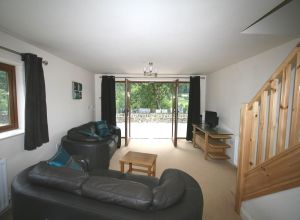
Cragg Cottages
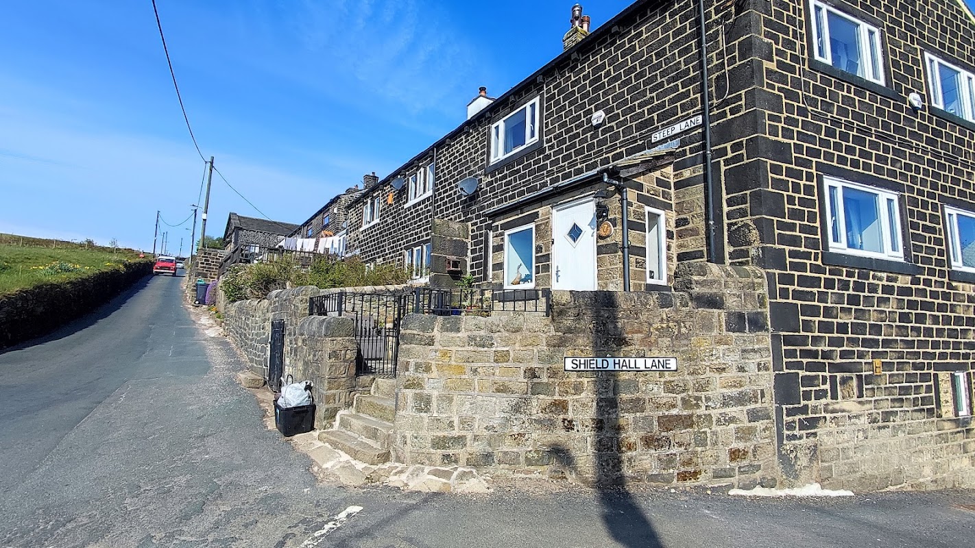
Aarons Campsite
Aarons Campsite in Cragg Vale offers a charming and rustic camping experience with beautiful views and friendly staff. Located at Aaron Hill Farm near Hebden Bridge, this site provides a peaceful retreat with basic amenities and free parking for campers. Enjoy the serene countryside and make use of the on-site bar for a relaxing evening.
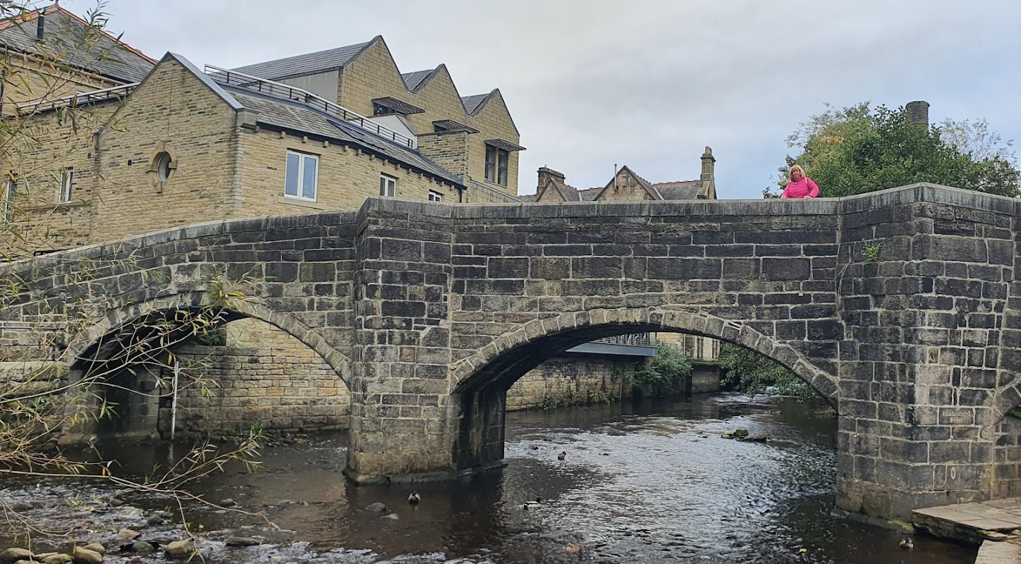
Hebden Bridge Caravan and Motorhome Club Campsite
Located in the picturesque area of Cragg Vale, the Hebden Bridge Caravan and Motorhome Club Campsite offers a serene getaway for tourists seeking a peaceful retreat. While the site is smaller and lacks additional facilities, it is well-maintained and surrounded by beautiful wildflower strips, trees, and plants, providing a charming natural setting for visitors.
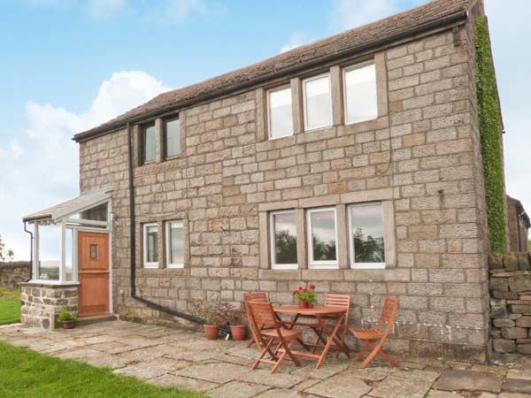
Knowle Lodge
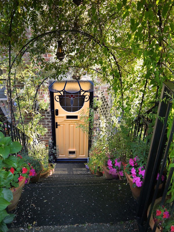
Garnett Bed & Breakfast
Garnett Bed & Breakfast offers a warm and welcoming stay in Hebden Bridge, known for its friendly hosts and delicious breakfasts.
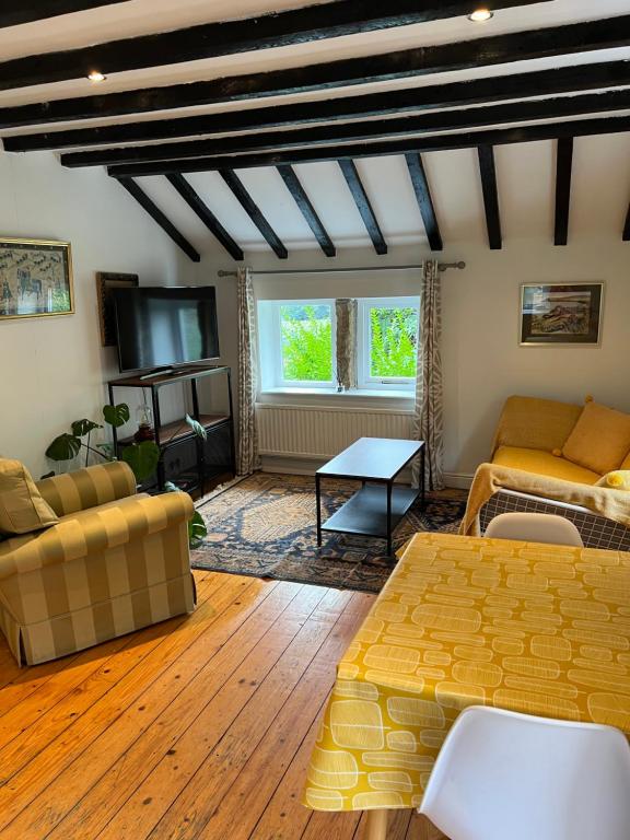
Walkers paradise on the Pennine way Charlestown
Browse by Type
Things to Do in Cragg Vale
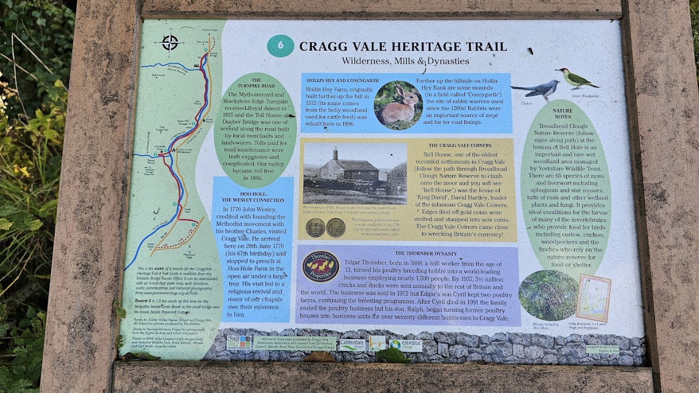
Cragg Vale Heritage Trail
The Cragg Vale Heritage Trail offers convenient parking for visitors exploring the scenic beauty of Cragg Vale. Located in the charming area of Mytholmroyd near Hebden Bridge, this parking facility is ideal for those planning to enjoy hiking and outdoor activities. While the payment options do not include cash, the facility ensures a hassle-free experience for tourists.
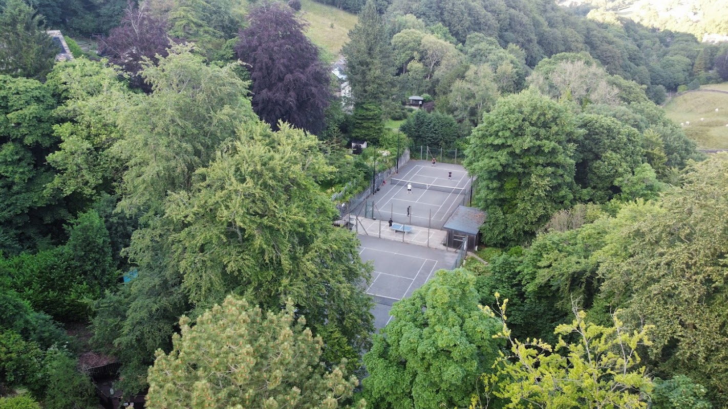
Cragg Vale Tennis Club
Located in the scenic village of Cragg Vale, the parking facility at Cragg Vale Tennis Club offers convenient access for visitors to the nearby Hinchcliffe Arms and surrounding attractions. While specific payment options are unknown, it is likely a standard pay-and-display setup, ensuring easy parking for those exploring the Hebden Bridge area.
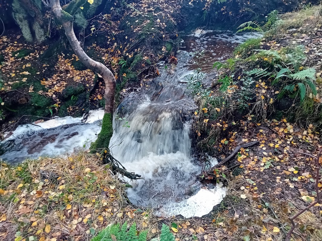
Broadhead Clough nature reserve
Broadhead Clough nature reserve, located in Cragg Vale near Hebden Bridge, offers a serene escape into nature with its woodland paths, highland cattle, and picturesque waterfalls. While exploring the reserve, visitors can enjoy a peaceful walk through well-maintained trails that lead to stunning views of the Moors. Parking is likely pay-and-display, ensuring easy access for a day of exploration.
Food & Drink

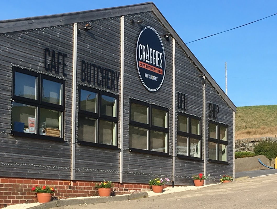
Craggies Farm Shop
Located in the picturesque Cragg Vale, Craggies Farm Shop offers a delightful stop for tourists exploring Hebden Bridge. While you enjoy a hearty breakfast or shop for local produce, convenient pay-and-display parking ensures a hassle-free visit. Ideal for those on a countryside adventure.
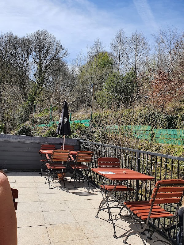
The Hinchliffe Arms
The Hinchliffe Arms in Cragg Vale offers a delightful stop for travelers exploring Yorkshire, with its charming atmosphere and excellent food. Located near Hebden Bridge, this venue provides convenient pay-and-display parking, making it an accessible choice for those visiting the area. Enjoy a warm, family-friendly environment as you dine in this picturesque setting.

Interactive Map
View accommodation, attractions, restaurants, and events on the map
Geographic Facts
This village is geographically within the following regions:
- Population
- 650
- Administrative area
- Hebden Royd
- Dialing code
- 01422
Data sourced from Wikidata and verified public records
Upcoming Events in Cragg Vale
View All Events in Cragg Vale →




Walkshire in Cragg Vale
More Walks in Cragg Vale →
Walk: Ryburn Reservoir and Baitings Reservoir
A great walk taking in the woods and fields in the Ryburn Valley between the Ryburn and Baitings Reservoirs, just near Ripponden. The Route what3words for start point: ///shredding.grades.erupted Start / FinishPoint: Yorkshire Water Car Park, Ripponden, Sowerby Bridge HX6 4LE Distance: 4 Miles GPX Route Map walkshireryburnreservoirandbaitingsreservoirDownload Walk Description Go to the top of the car park and cross the lane towards a stile into a field. Walk through this field on a level track and head towards the next stile. Cross this stile and continue on the path which heads through the trees alongside the edge of the water and eventually over a footbridge. Just before the end of Ryburn Reservoir, you reach Beeston Hall Rocks. The path now follows the feeder stream to a junction of paths. Ignore the left turn over the bridge, and carry on out of the wood the reach the embankment of Baitings Reservoir - following the path as it turns right into a car park. Leave via the steps or, if required, carefully via the entrance gateway – but take extra care as this is also a vehicle entrance. Turn left onto the pavement and continue for a short while when you reach the entrance to the permissive footpath on your left. Take the path and walk along the north edge of Baitings Reservoir. The section provides great views across the reservoir and the surrounding countryside. At the end of the reservoir, leave the path onto a road, and turn left to walk across Baitings Viaduct. Soon after crossing, turn left onto the permissive path to continue along the southern edge of Baitings Reservoir. When you reach the embankment, turn right, and then left at the next footpath, to head back towards Ryburn Reservoir. Just after a path joins from the left, the path turns a sharp right to meet another path. Continue along the track until you reach a stile. Cross over into the field and follow the boundary fence - which becomes a wall - downhill, until you reach some gates in the corner. Follow the yellow waymarker, through the gate into an enclosed path along the side of the next field. At the farm buildings, carry on and over a stile into a section of old walled track - but not into the open field. This track turns right through a squeeze stile at the side of an iron gate. Go through the gap and turn left straight away down the slope, keeping the wall on your left. At the bottom corner of the field, go over a stile and down through the wood to a footbridge. Cross the bridge, turn left and continue alongside the reservoir towards the dam. Cross the dam wall to return to the car park.

Walk: Sowerby Bridge to Hebden Bridge
This walk from Sowerby Bridge to Hebden Bridge will take you along the towpath of the Rochdale Canal and you will be surrounded by heritage and panoramic views. The Route what3words for start point: ///bats.begun.clubs Start Point: Sowerby Bridge Wharf Finish Point: Hebden Bridge Distance: 5.5 Miles GPX Route Map sowerbytohebdenDownload Walk Description Sowerby Bridge is where the Calder and Hebble Navigation seamlessly becomes the Rochdale Canal. Start the walk at Sowerby Bridge Wharf, the cobbled basin where the 18th-century canal buildings have been lovingly restored. You will join the Rochdale Canal at Lock 1 and follow it a short distance, past Lock 2 and then cross the road. After crossing the road, you can pick back up the canal and towpath at Tuel Lane Lock. Tuel Lane Lock is the deepest lock on Britain’s canals at 19 ½ ft, and boats can only travel through when lock keepers are present. Leaving Sowerby Bridge behind, you will follow through the leafy Calder Valley with its panoramic views. The next place you come across is Luddenden Foot followed by Brearley where you will see some canal-side cottages and a lock. Continuing along the towpath you will soon enter Mytholmroyd, the birthplace of poet Ted Hughes. As you carry on along the towpath, the quirky town of Hebden Bridge will be in front of you. Entering Hebden Bridge, you will first come across the Marina, then you can choose to explore the town's amazing independent cafes, shops and galleries or return to Sowerby Bridge by train or on foot.

Walk: Hebden Bridge Canal
Discover Hebden Bridge and the Rochdale Canal. The Route what3words for start point: ///noise.nicer.latter Start Point: Hebden Bridge Station, Station Rd, Hebden Bridge HX7 6JE Finish Point: Hebden Bridge Station, Station Rd, Hebden Bridge HX7 6JE Distance: 1.8 Miles GPX Route Map hebdenbridgeDownload Walk Description Starting at Hebden Bridge Station, join the towpath of the Rochdale Canal and turn left. Heading along the towpath you will soon approach the town and marina. Look out for the buildings that are old textile mills, full of heritage and character. Hebden Bridge was, and still is, known for the production of corduroy. Once known as the Trouser Town!You will pass by Calder Holmes Park but continue along the towpath. Whilst walking take time to admire the interesting and colourful canal boats. Just past the park you will need to cross the canal via the footbridge, at Black Pit Lock.Staying on the towpath you will reach Stubbing Upper Lock. There are lots of different plants and flowers along the towpath. Look out for butterflies, damselflies and dragonflies during the summer months. Not far from the lock you will arrive at Stubbing Wharfe pub. You will leave the towpath here and head towards the front of the pub, crossing the River Calder and turn right along the road. Follow the main road back into Hebden Bridge town centre. Hebden Bridge is full of amazing and quirky independent cafes, shops and galleries. Take time to explore the town centre and the market, if it is on. Once you have finished exploring, head back to the main road which will take you back to your starting point at the station.

Walk: The Calderdale Way
The Calderdale Way is a picturesque long-distance walking route that winds through the stunning landscapes of West Yorkshire. Covering approximately 50 miles, this circuit takes walkers through the scenery of Calderdale with a start and finish point just near Norland Moor Nature Reserve. The Route what3words for start point: ///lions.string.goods Start & Finish Point: New Clough Rd, Sowerby Bridge HX6 3RE Distance: 50 Miles GPX Route Map calderdale-way-routeDownload Walk Description Ripponden The starting point for many on the Calderdale Way, Ripponden is a charming village in the Ryburn Valley. The route then crosses through Soyland, Cragg Vale and Withens Clough Reservoir. Te Deum Stone A historical marker, the Te Deum Stone is a notable point on the route. The stone is shrouded in local legend. The route continues past Mankinholes and Limbutts. Todmorden A vibrant market town, Todmorden sits at the meeting point of three valleys. It’s an excellent spot to pause, explore the local shops, and perhaps enjoy a meal before continuing on. The route continues past Lydgate and Blackshaw Head. Heptonstall A historic village with cobbled streets and ancient buildings, Heptonstall is steeped in history and offers a fascinating stop on the Calderdale Way. The route continues on through Midgehole, close to Hardcastle Crags - a beautiful area with woodland paths. Midgeley Moor Crossing Midgeley Moor, you’ll experience expansive views. One waypoint is Churn Milk Joan, a standing stone on the moor and notable landmark. The route continues on through Booth, Causeway Foot and Mixenden. Illingworth Moor As you approach Illingworth Moor, the landscape opens up, with sweeping views across the moors and valleys, a true highlight of the Calderdale Way. The route then climbs up past Catherine Slack, Shelf and Northowram. Norwood Green A picturesque village with traditional stone houses and leafy lanes, Norwood Green is a peaceful stop. Bailiff Bridge then marks the transition from rural landscapes to the outskirts of urban areas. The route continues past Thornhills. Brighouse A bustling town, Brighouse offers a range of amenities and a chance to restock before heading into the final stages of the walk. The Calder and Hebble Navigation runs through this town. The route continues past Brookfoot and Freeman's Cut. Southowram Southowram sits on elevated ground, offering fantastic views back across Calderdale. The village itself has a rich history. West Vale and Greetland The final stretch of the Calderdale Way takes you through West Vale and Greetland, bringing your journey full circle with a mix of rural and urban landscapes.