
Discover Cubeck
Cubeck is a village in North Yorkshire, within the Bainbridge area. It is characterized by its rural setting and proximity to the scenic Yorkshire Dales National Park.
Explore the map below to discover accommodation, attractions, restaurants, and live events across Cubeck. Scroll down to browse featured listings and plan your perfect visit.
Stay in Cubeck
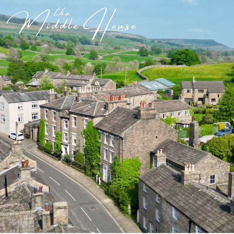
Middle House Askrigg
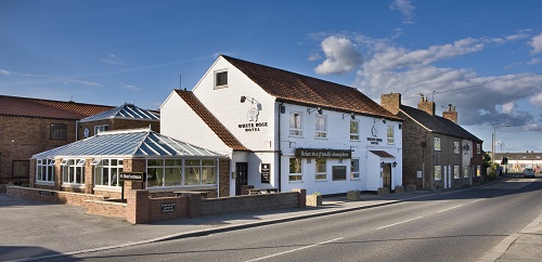
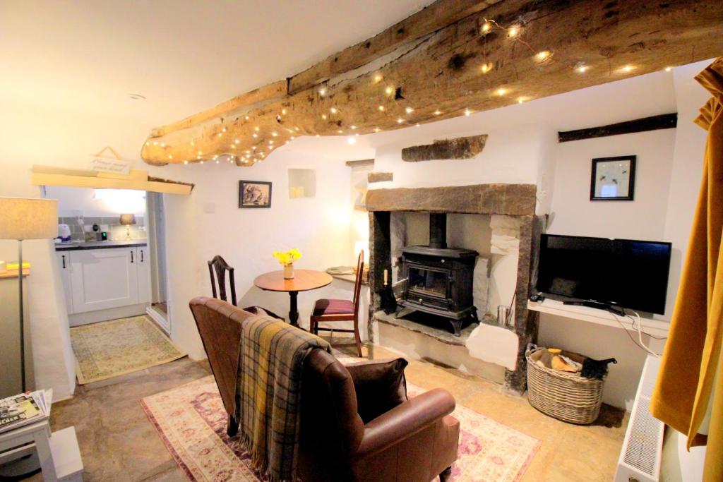
Middle House Askrigg is conveniently located in the charming village of Cubeck, offering easy access to the picturesque surroundings of Leyburn. While specific parking details are not provided, visitors can expect standard pay-and-display options typical of the area. Enjoy a comfortable stay with excellent hospitality and a delightful dining experience.
Browse by Type
Things to Do in Cubeck
Yorkshire Dales National Park Authority
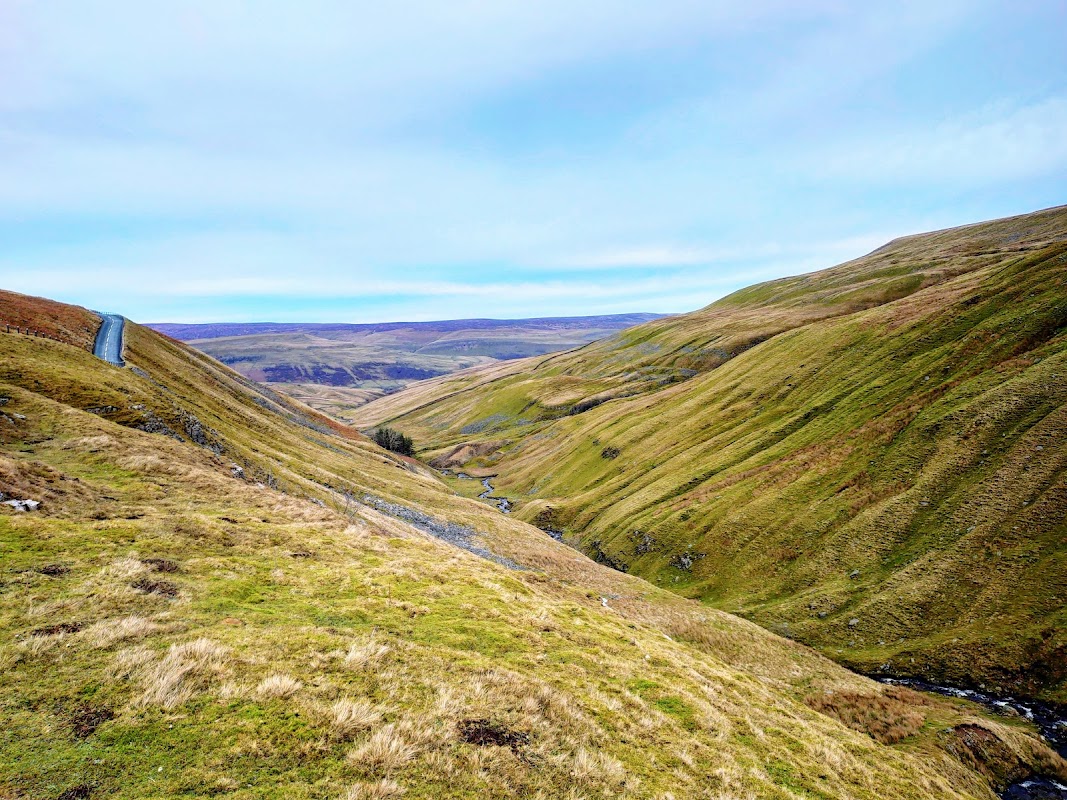
Located in the heart of the Yorkshire Dales, the parking facility at Bainbridge offers convenient access to the breathtaking landscapes of the national park. Visitors can enjoy scenic walks, explore charming villages, and take advantage of the well-maintained play areas for children. With easy payment options, it's a perfect starting point for your adventure in this picturesque region.
Yorebridge Sports Development Association Ltd
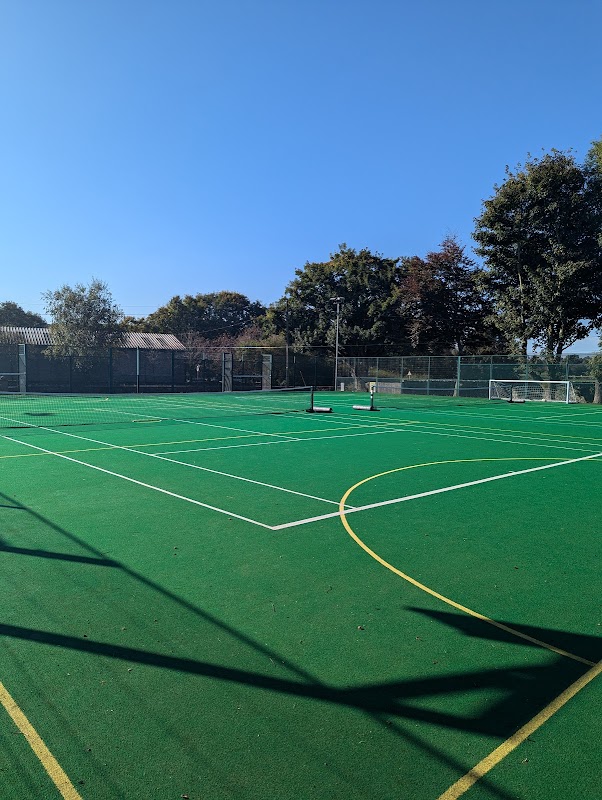
Discover Yorebridge Sport & Leisure in Askrigg, offering a fantastic range of gym, fitness classes, and sports for the whole family.
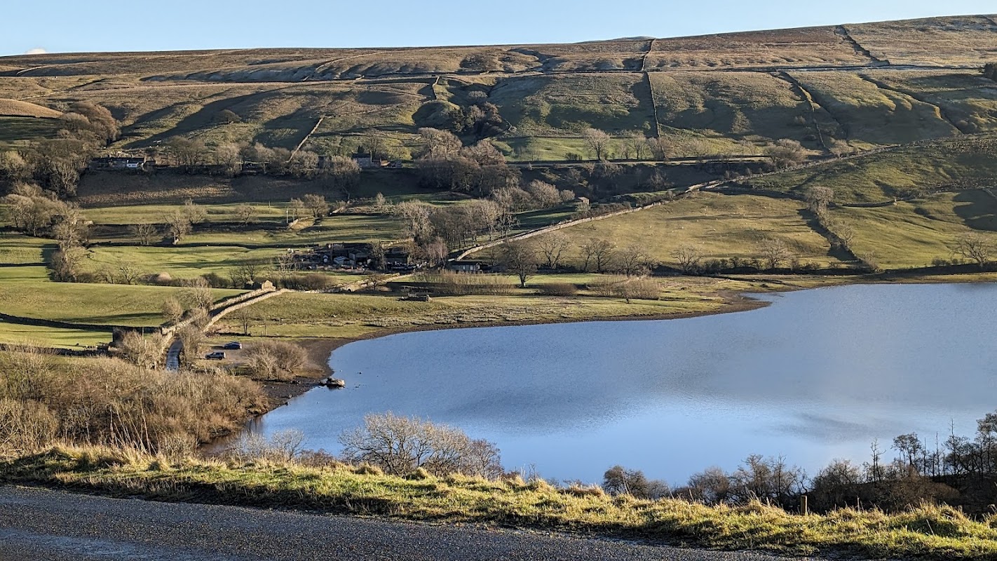
Semer Water Nature Reserve
Semer Water Nature Reserve offers a serene escape in the heart of Yorkshire, perfect for picnics and leisurely walks around the lake. While parking is available at the top of the lake, visitors should be prepared for standard pay-and-display facilities. Enjoy the stunning natural beauty and diverse wildlife this picturesque location has to offer.
Browse by Type
Food & Drink
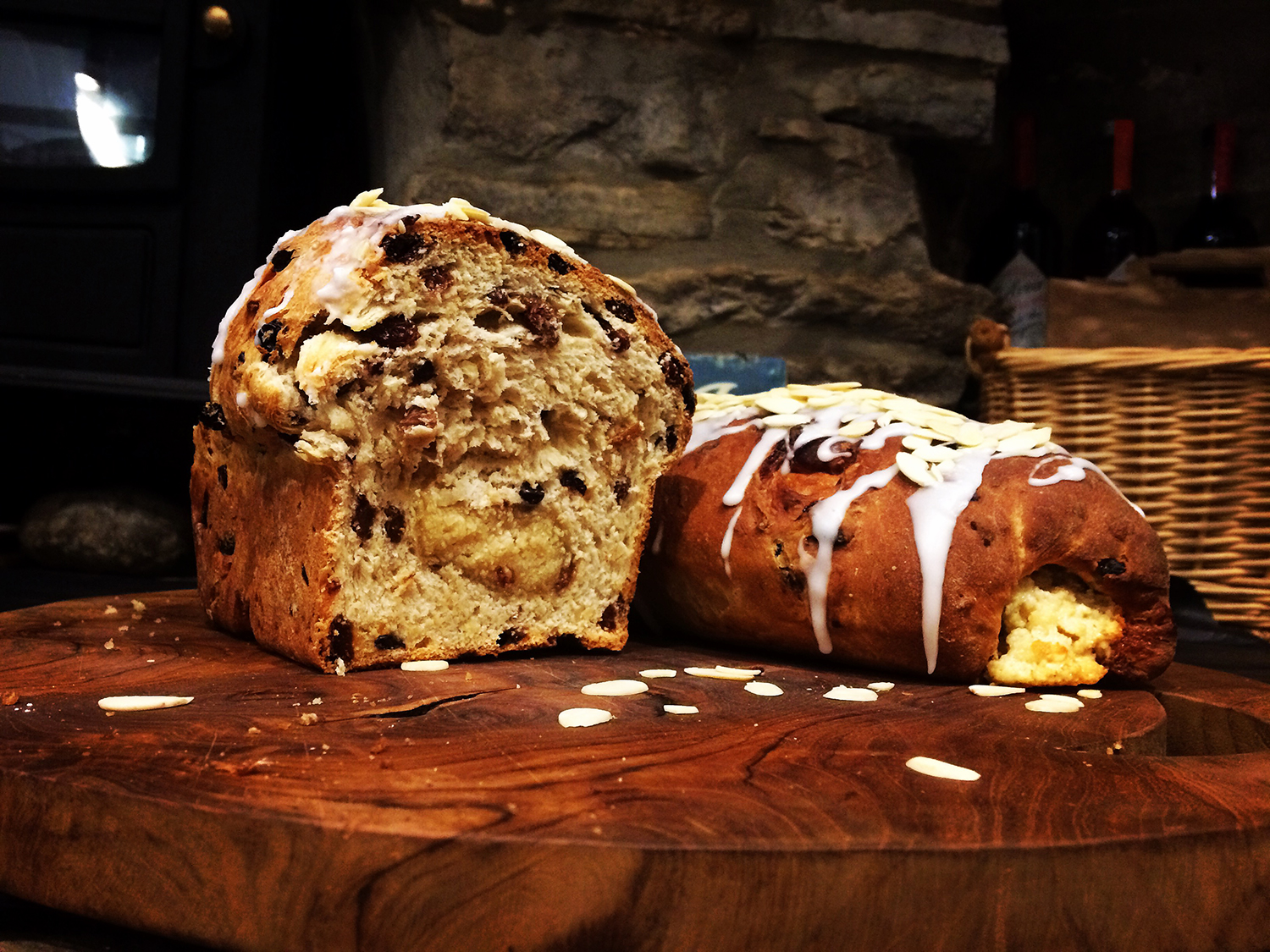
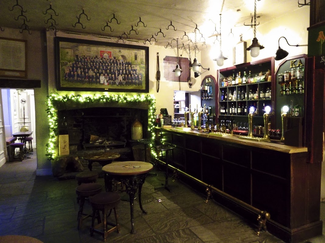
The King's Arms Hotel
Discover a warm welcome and exceptional pub dining in the heart of Askrigg at The King's Arms Hotel, highly rated by guests.
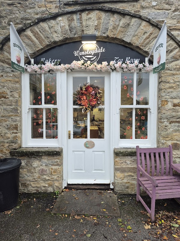
A Taste of Wensleydale
Savour delightful homemade treats, delicious hot food, and coffee at this charming Wensleydale tearoom in Bainbridge.
Browse by Type

Interactive Map
View accommodation, attractions, restaurants, and events on the map
Geographic Facts
This village is geographically within the following regions:
Upcoming Events in Cubeck
View All Events in Cubeck →No events found for Cubeck yet.
No events found for this period. Check back soon!
View all events in CubeckLatest news from Cubeck
All Local News →
From Local Farm to National Shelves: How a North Yorkshire Rapeseed Oil Business Wins Listing with Garden Centre Chain
A North Yorkshire farm business, Charlie & Ivy's, has landed a major nationwide listing! Find their award-winning rapeseed oil bread dippers in Dobbies now.
Walkshire in Cubeck
More Walks in Cubeck →
Walk the James Herriot Way
Fan of All Creatures Great and Small? Then, you'll love this walk. The walk is a 52 mile circular route starting in Aysgarth and taking in majestic sights such as Hardraw Force, Aysgarth Falls and Bolton Castle. Barns in beautiful Swaledale Route Distance: 52 miles Start location: Aysgarth, Wensleydale Finish Location: Aysgarth, Wensleydale OS Walking Map & GPX Download Our OS map below shows the full route. Under the map, you can find a GPX file download for your navigational device. herriot-way-newDownload Walk Description This walk is inspired by the walking holiday that vet and author James Herriot took with his son Jimmy around the Youth Hostels of Aysgarth, Grinton and Keld. There is no wonder Herriot loved this area so much and chose it for the location for many of his books. This 52 mile long route takes four to five days to cover and combines gentle walks through valley bottoms with energetic climbs on the skylines. It takes you through parts of Swaledale and Wensleydale, and includes big sights such as Hardraw Force, Aysgarth Falls and Bolton Castle. The 52 miles can be broken into four 13 mile days, each one ending in a village with plenty of local amenities where you're sure to get a warm Yorkshire welcome. The walk begins in the village of Aysgarth in Wensleydale where you can marvel at the spectacular Aysgarth Falls before following the River Ure to Askrigg. The village was used as the fictional Darrowby in the BBC TV series All Creatures Great and Small, based on the books by James Herriot. Just along from here you can visit the fantastic Mill Gill and Whitfield Force Waterfalls. Continue along the route to the village of Hardraw where you'll find the epic Hardraw Force Waterfall which is England's highest single drop waterfall, falling some 100ft.The route then heads to the market town of Hawes before climbing Great Shunner Fell which is the highest point in Wensleydale and commands wonderful views over Ribblesdale to the south west and Swaledale to the north. After descending the hill to Thwaite the route then takes in the village of Keld and Gunnerside Moor before passing the beautiful valley of Gunnerside Gill. Following the River Swale into Reeth. The route continues along to the inspiring 14th Century Castle Bolton passing through open moorland with it's stunning heather (in the Summer months). The final section takes you back to Aysgarth, where you'll be needing a much needed rest after a fantastic route taking in the very best of the Yorkshire Dales.

Walk: Askrigg
A brisk walk around the lovely countryside of Askrigg. The Route What3words for start point: ///pats.reject.rooms Start Point: Askrigg Car Park, Parkins Garth, Askrigg, Leyburn, DL8 3HD Finish Point: Askrigg Car Park, Parkins Garth, Askrigg, Leyburn, DL8 3HD Distance: 6 Miles GPX Route Map walkshireaskriggDownload Walk Description From the car park, turn right onto Leyburn Road, and then turn left as the road turns into Main Street. As the road splits, veer right to carry on Main Street onto Mill Lane. In the field after Broad Close, look to the left and take the footpath on the left. Follow the clear path into the trees, and across Paddock Beck via the footbridge. Turn right on the path instead of going straight, and follow the line of the trees. Ahead are three junctions with other footpaths; ignore the one to the left and then the one to the right, and at the third, turn to the right to again follow the edge of the trees on the right. The path is clear on the ground as it follows the line of the beck, until it crosses over it via a footbridge. The path now turns to the left to follow the edge of the trees on your left until it reaches a dual-walled track on the right. Turn right and walk down the track, called Low Straights Lane. Carry on along this track, eventually turning right on on the fourth footpath to branch off on the right. Follow the clear path on the ground to the left of the barn and then follow the line of the trees on your left through two fields to go past another barn on the left. Then follow the wall on the left to the gate at the bottom. Turn left and follow the clear footpath between the buildings in Askrigg on Moor Road. Turn left Turn right after a house and before an area of grass on the right, and follow this track into the fields. Veer to the left into the next door field, and good through the various gates to reach the road Howgate via a gate, Turn right, then turn left at the next road junction to walk down Low Gate. At the first public footpath sign, marked Aysgarth, turn left through the gate. Head to the right of the barn, then into the narrow gap between the boundary walls, before crossing over the next wall via the stile and then heading to the left of the next barn. Join the lane, Thwaite Holme Lane, and turn left, following the lane until it crosses Newbiggin Beck towards Nappa Mill. Turn right on the path, crossing over the beck again, and follow the River Ure to reach a road. Turn left to follow the road as it bends, but then turn right on the footpath before the road crosses over the river. Ignore the diagonal path to the right, but continue straight on along the side of the river. When you reach a T-junction of paths, turn right and follow the clear path past the sewage works to the road. Turn right and follow the road all the way back to the car park.

Walk: Wensleydale Challenge - Askrigg to Leyburn
Rise to the challenge: get dropped off at Askrigg and walk back to Leyburn. After a brief climb, the rest is fairly flat and Wensleydale at it's best. The Route what3words for start point: ///modes.officials.bangle Start Point: Askrigg Finish Point: Leyburn Distance: 13 Miles GPX Route Map wensleydalechallenge-askriggtoleyburn2Download Walk Description After an enjoyable bus journey "up dale" to Askrigg on the volunteer Little White Bus featured on Countryfile, the rest is up to you but rise to the challenge and you will follow the River Ure through Wensleydale into Leyburn Market Square with an enormous sense of achievement. It is a long but rewarding walk, however as an alternative, there is the option of jumping aboard the Wensleydale Railway in Redmire. This is just over halfway and can provide a ride back to Leyburn in comfort. The route climbs initially but gently through fields and woodland and then flattens out to contour along the hillside with spectacular views. Above Haw Bank on the right before crossing the wooden foot bridge, it is worth stepping carefully off the route to enjoy Disher Force which thunders down the steep sided gill. There is still evidence of the lead mining industry on the edge of Carperby Moor before seeing the imposing Bolton Castle ahead. The Castle has been owned by the same family since it was built in 1399 by Sir Richard Le Scrope, Lord Chancellor of England whilst Richard II was on the throne. In 1568, Mary, Queen of Scots was imprisoned there. The end for Bolton Castle came in the Civil War, when John Scrope, only a teenager at the time, held the castle for the royalist cause. Parliament besieged the castle for an entire year but in November 1645, Scrope was forced to surrender. Parliament intended to slight the castle to make it unusable in future, but the south-west tower and the west range survived almost completely intact and habitable. Below the castle walls is a medieval garden, a maze, a rose garden, herb garden, vineyard, birds of prey and a bowling green. The route takes you under Great Wegber and Wegber Scar above Carperby where James Herriot had his honeymoon. On the top of Wegber is a prominent building which is Greenhaw Hut, a bothy shelter. Following along the banks of the River Ure leads past the Ice Pond and through the Bolton Hall estate, over the attractive Lords Bridge before continuing the other side of the river into Wensley. It is easy to see how the area was affected by the floods in 2019. Wensley is a pretty village and of course, gives its name to the dale itself.

The Lady Anne Way Walk
Lady Anne’s Way is a long distance path from Skipton Castle in North Yorkshire to Broughham Castle at Penrith in Cumbria. The Route Start Point: Skipton Finish Point: Penrith Distance: 96 miles GPX Route Map ladyanneswayDownload Walk Description what3words for start point: ///elders.bars.somewhere Lady Anne’s Way is a long distance path from Skipton Castle in North Yorkshire to Broughham Castle at Penrith in Cumbria. The route takes in locations associated with landowner Lady Anne Clifford who owned vast estates including a number of castles. This walk follows in her footsteps, re-tracing routes that she may well have used as she travelled between her homes. Making its way through the Yorkshire Dales and the Upper Eden Valley the walk is one of beauty and historical interest. This iconic walk passes through some of the finest areas of Yorkshire including Wensleydale and Wharfedale before continuing on through the remote fells of Mallerstang to enter the historic county of Westmorland and Eden Valley.