
Discover East Keswick
East Keswick is a village located in West Yorkshire, governed by Leeds City Council. It has a population of approximately 1,224 residents. Known for its rural landscape, the village offers access to scenic walking trails and is part of the Leeds Green Belt, ensuring its countryside surroundings remain protected.
Explore the map below to discover accommodation, attractions, restaurants, and live events across East Keswick. Scroll down to browse featured listings and plan your perfect visit.
Property in East Keswick
Explore 2 properties in East Keswick — homes and commercial listings for sale and to rent. Start with detached houses or industrial.

Industrial Unit for Sale - Simply Stitch, East-keswick
£35,000
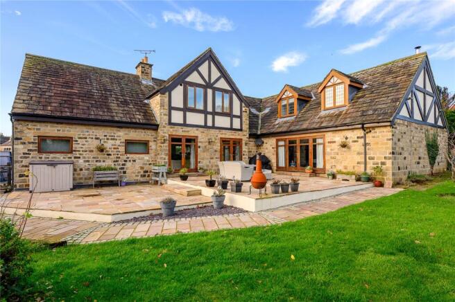
5 Bed Detached House - Moor Lane, East-keswick
£1,795,000
Browse by type
Stay in East Keswick
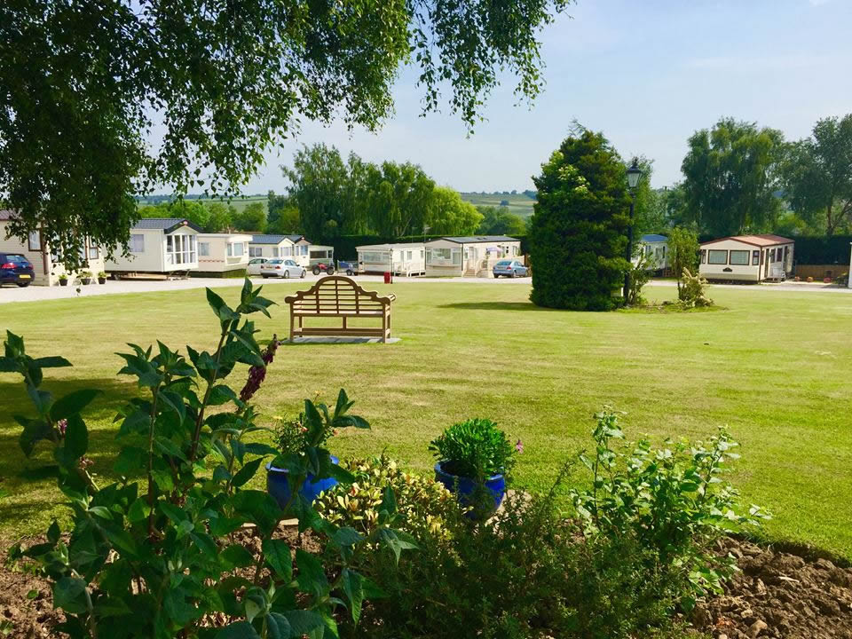
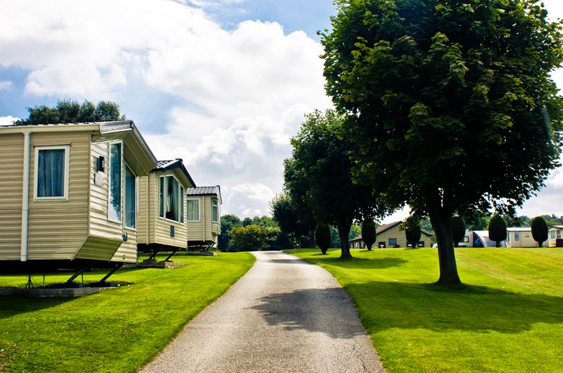
Moor Lodge Caravan Park
Moor Lodge Caravan Park offers a serene countryside retreat in Bardsey, ideally located for exploring the vibrant cities of Leeds and York. The park features immaculate facilities and beautiful surroundings, perfect for a relaxing getaway. Enjoy the convenience of nearby amenities, including a charming pub within walking distance.
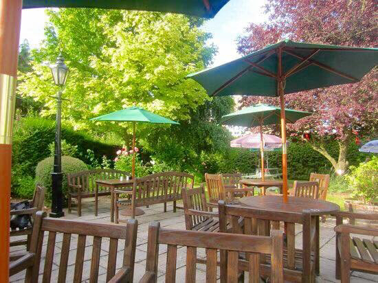
Scotts Arms
Located in the picturesque village of Sicklinghall, the Scotts Arms offers convenient pay-and-display parking for visitors. This charming establishment combines the warmth of a family-run pub with the comforts of a bed and breakfast, making it an ideal stop for those exploring the beautiful Yorkshire countryside.
Maustin Park
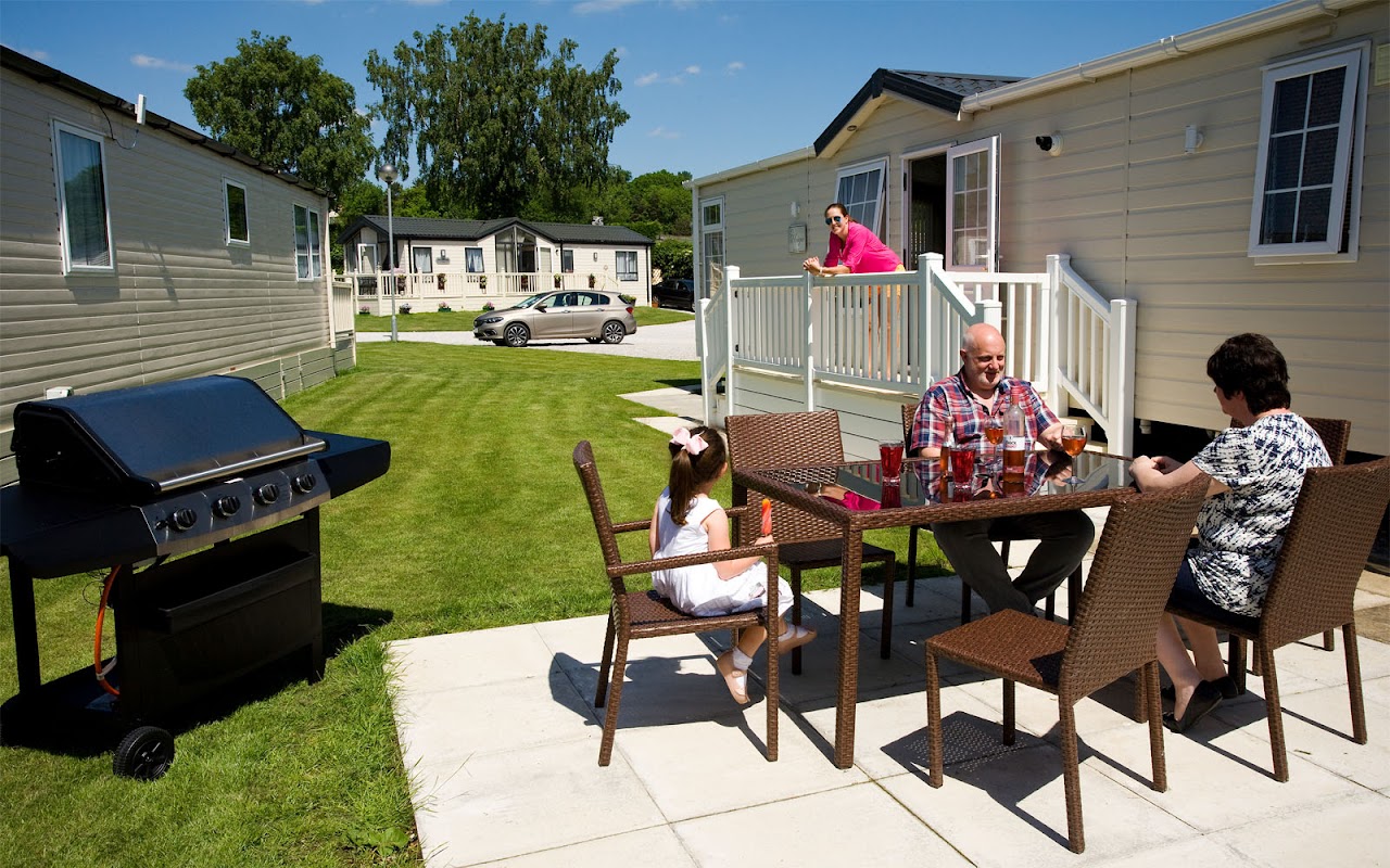
Maustin Park in Netherby, North Yorkshire, offers a welcoming environment for visitors with its charming holiday homes and RV park facilities. Located near the scenic River Wharfe, it provides easy access to beautiful walking trails and features an on-site pub for a delightful dining experience. Ideal for those seeking a relaxing getaway in the Yorkshire countryside.

Browse by Type
Things to Do in East Keswick
Bardsey Tennis Club
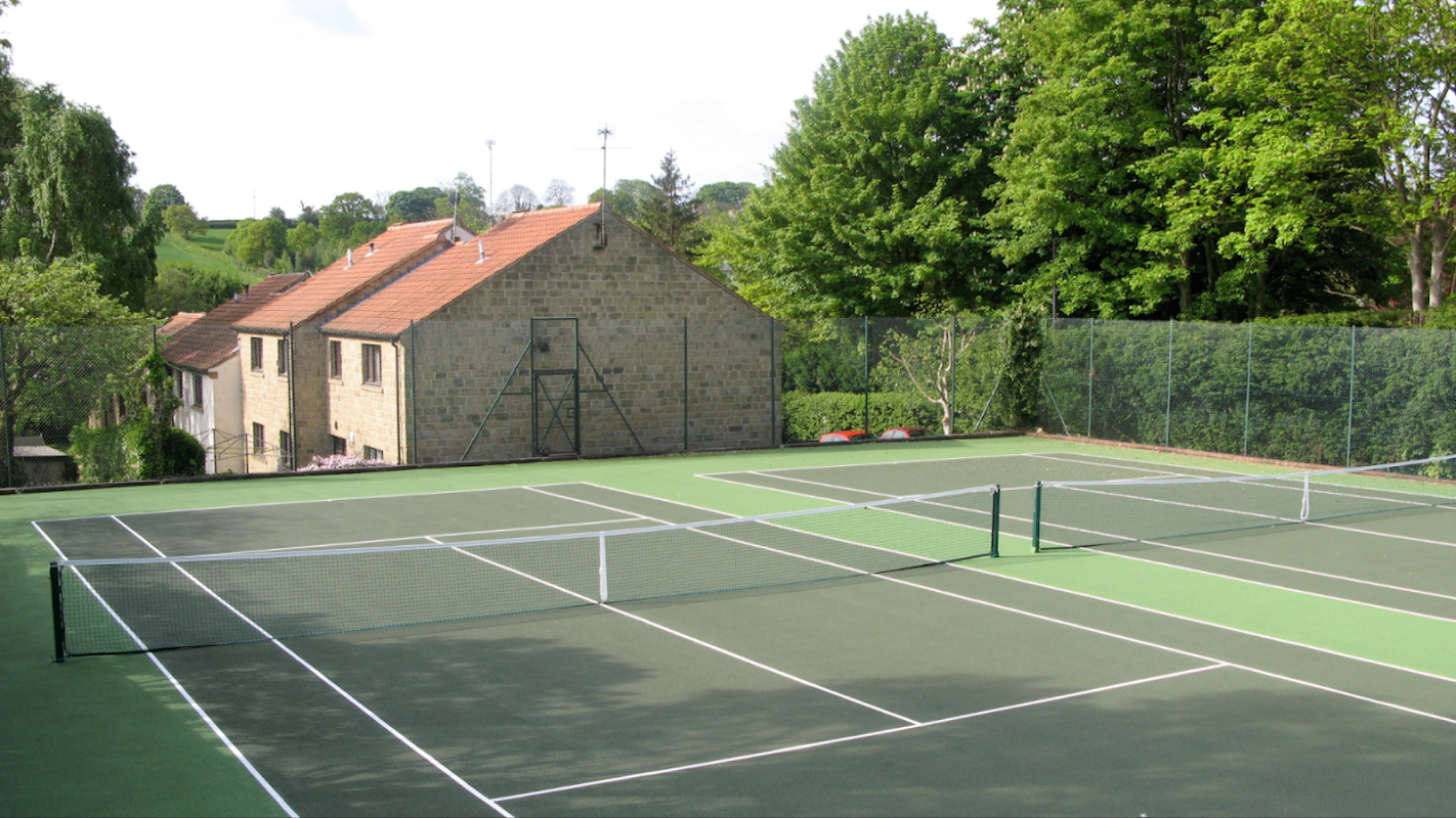
Located in the charming village of Bardsey, the parking facility at Bardsey Tennis Club offers convenient access for visitors to the club and surrounding attractions. While specific payment details are unknown, it is likely a standard pay-and-display setup, ensuring ease of use for tourists exploring the area.
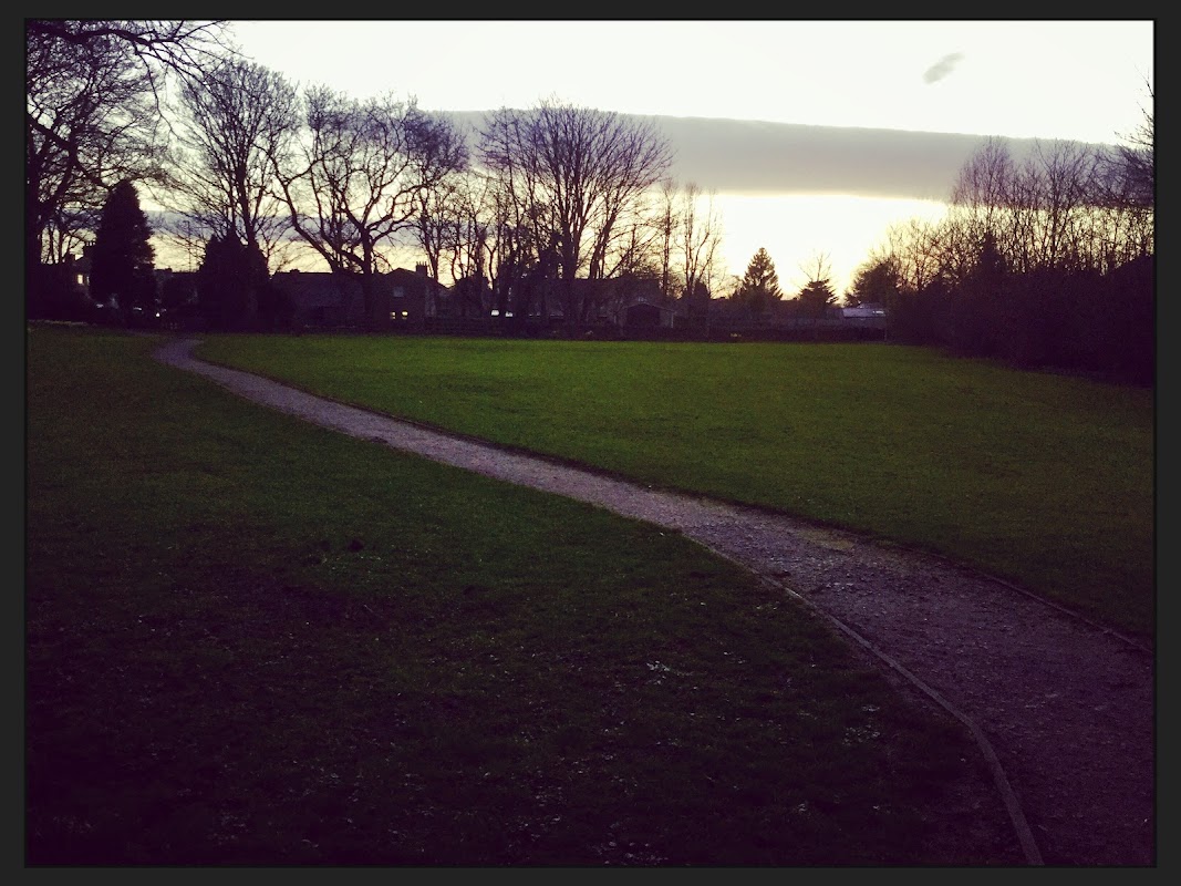
Collingham : Glebe Field
Collingham: Glebe Field offers convenient parking near a beautiful park area, perfect for a leisurely walk or a family outing. Located in the charming village of Collingham, this parking facility provides easy access to well-maintained gardens and open fields, ideal for dog walking or enjoying a peaceful day outdoors.
Browse by Type
Food & Drink
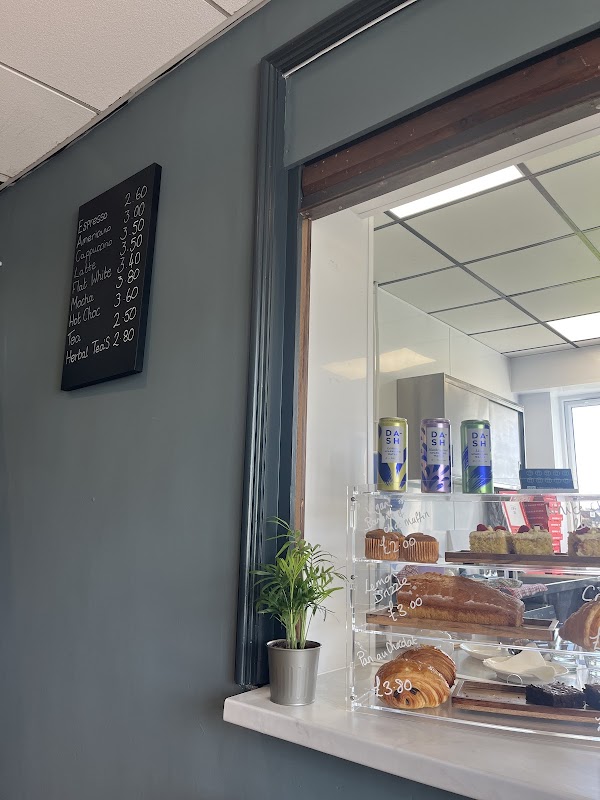
Grounded Coffee
Located in the charming village of Collingham, Grounded Coffee offers a cozy spot for visitors to enjoy a delightful cup of coffee. While parking specifics aren't detailed, typical facilities in the area are pay-and-display, ensuring convenient access for tourists exploring the local attractions.
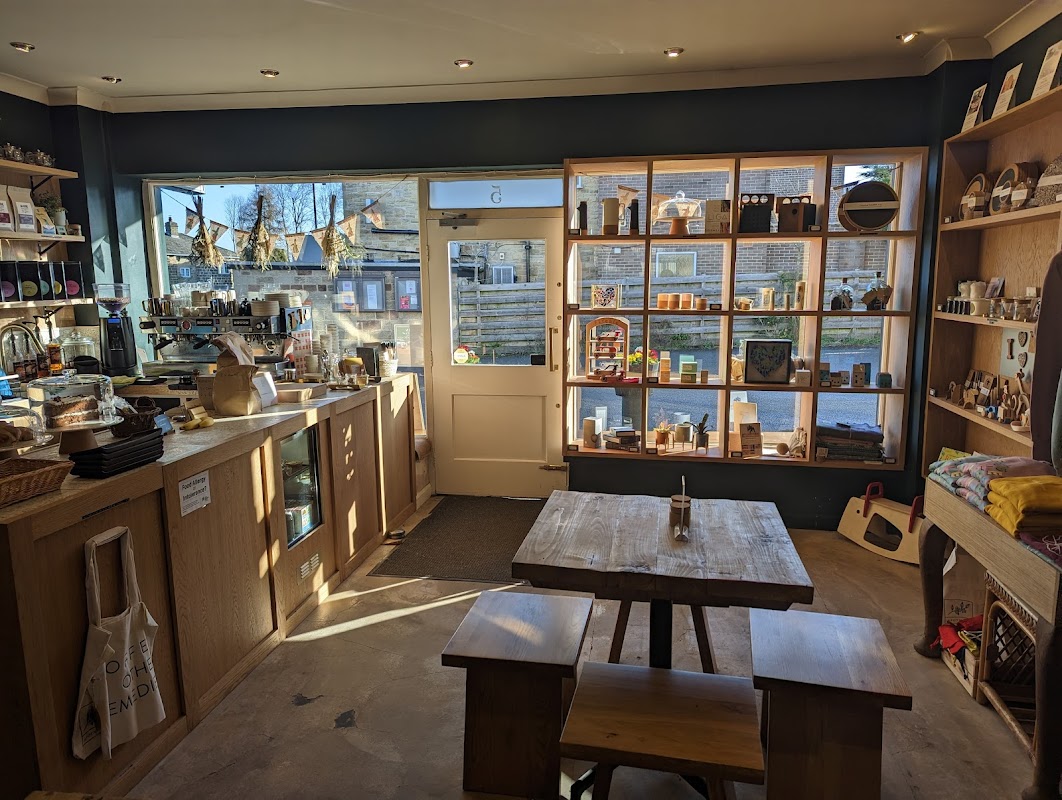
Apotheco
Located in the charming village of Collingham, Apotheco offers convenient on-street parking right outside the cafe. This delightful spot is perfect for a quick coffee break or a leisurely meal, with its welcoming atmosphere and delicious offerings including North Star coffee and a variety of bagels and cakes.
Browse by Type

Interactive Map
View accommodation, attractions, restaurants, and events on the map
Geographic Facts
This village is geographically within the following regions:
- Population
- 1,224
- Administrative area
- Leeds
Data sourced from Wikidata and verified public records
Upcoming Events in East Keswick
View All Events in East Keswick →




Browse by Type
Walkshire in East Keswick
More Walks in East Keswick →
Walk: Hetchell Woods
Enjoy a lovely stroll around Hetchell woods and delight in the site of Roman Earthworks, Hetchell Cragg and pretty woodland. The Route what3words for start point: ///single.reinvest.snug Start Point: Bardsey Finish Point: Bardsey Distance: 3 Miles GPX Route Map hetchell-woodsDownload Walk Description Hetchell Woods ins a unique walk combining the beauty of the natural landscape such as woodland and meadows but combining this with a stunning Roman earthworks at a location called Pompocali. The walk's starting position is the lovely village of Bardsey located between Leeds and Wetherby. After following Bardsey beck into the woodland, you'll be lost in a beautiful natural world with beautiful plant and wildlife. On the far side of the woods is Pompocali, make sure you spend time here imagining the hustle and bustle of the ancient earthworks that produced pottery and utensils for local garrisons and towns. You'll also discover the remains of a Roman road that led to the site.

Walk: The Ebor Way
The Ebor Way is a long-distance walking route that stretches approximately 70 miles (113 kilometers) across the scenic landscapes of Yorkshire. It connects the historic market town of Helmsley in North Yorkshire with the riverside town of Ilkley in West Yorkshire, traversing a variety of terrains and offering walkers a rich blend of natural beauty, historical landmarks, and charming villages. Route Start Point: what3words for start point: ///gladiator.case.flagging Distance: 70 miles Start Location Name: Helmsley Finish Location: Ilkley OS Route Map & GPX File eborwayDownload Description Starting Point: Helmsley Helmsley Castle: The route begins in the picturesque market town of Helmsley, renowned for its medieval castle. Duncombe Park: Passing through the estate of Duncombe Park, offering views of its stately home and gardens. North York Moors National Park Rievaulx Abbey: The path leads to the ruins of Rievaulx Abbey, a former Cistercian monastery. Moorland and Woodland: Walkers traverse the North York Moors, experiencing a mix of heather-clad moorland and dense woodland. Market Towns and Villages Ampleforth: The trail passes through this village, known for Ampleforth Abbey and its apple orchards. Coxwold: Famous for its church, St. Michael's, and Shandy Hall, the home of writer Laurence Sterne. Howardian Hills Area of Outstanding Natural Beauty (AONB) Kilburn White Horse: The route offers a view of this large hill figure carved into the limestone. Castle Howard: Near the trail, this magnificent stately home and its grounds provide a detour worth considering. River Derwent River Crossings: The Ebor Way crosses the River Derwent, offering serene riverside walking. York City Walls and Minster: Walkers enter the historic city of York, where the route skirts the ancient city walls and the iconic York Minster. Micklegate Bar: One of the medieval gateways into the city. Vale of York Flat Farmland: The trail crosses the Vale of York, characterized by flat, fertile farmland. Nidderdale Area of Outstanding Natural Beauty (AONB) Ripley Castle: The route goes through the grounds of Ripley Castle, a historic country house. Nidderdale Views: Walkers enjoy panoramic views of Nidderdale’s rolling hills and valleys. Wharfedale Otley Chevin: The path climbs Otley Chevin, a prominent hill offering spectacular views of Wharfedale. Riverside Walks: The trail follows sections of the River Wharfe, providing pleasant riverside scenery. Ending Point: Ilkley Ilkley Moor: The route concludes at the famous Ilkley Moor, known for its rugged beauty and the iconic Cow and Calf rocks. Ilkley Town: The walk ends in the spa town of Ilkley, a perfect place to relax and explore after completing the trail. Get on the trail The Ebor Way offers a diverse walking experience through some of Yorkshire’s most beautiful and historically rich landscapes. From the moors and woodlands to riverside paths and urban heritage sites, the route encapsulates the essence of Yorkshire's natural and cultural treasures.