
Discover Flockton
Flockton is a village located in West Yorkshire, governed by the Kirklees Council. With a population of around 2,000, it sits within the WF4 postcode area. Known for its historical coal mining heritage, Flockton offers a glimpse into England's industrial past, surrounded by scenic rural landscapes.
Explore the map below to discover accommodation, attractions, restaurants, and live events across Flockton. Scroll down to browse featured listings and plan your perfect visit.
Property in Flockton
Browse homes and commercial listings for sale and to rent in Flockton.
Stay in Flockton
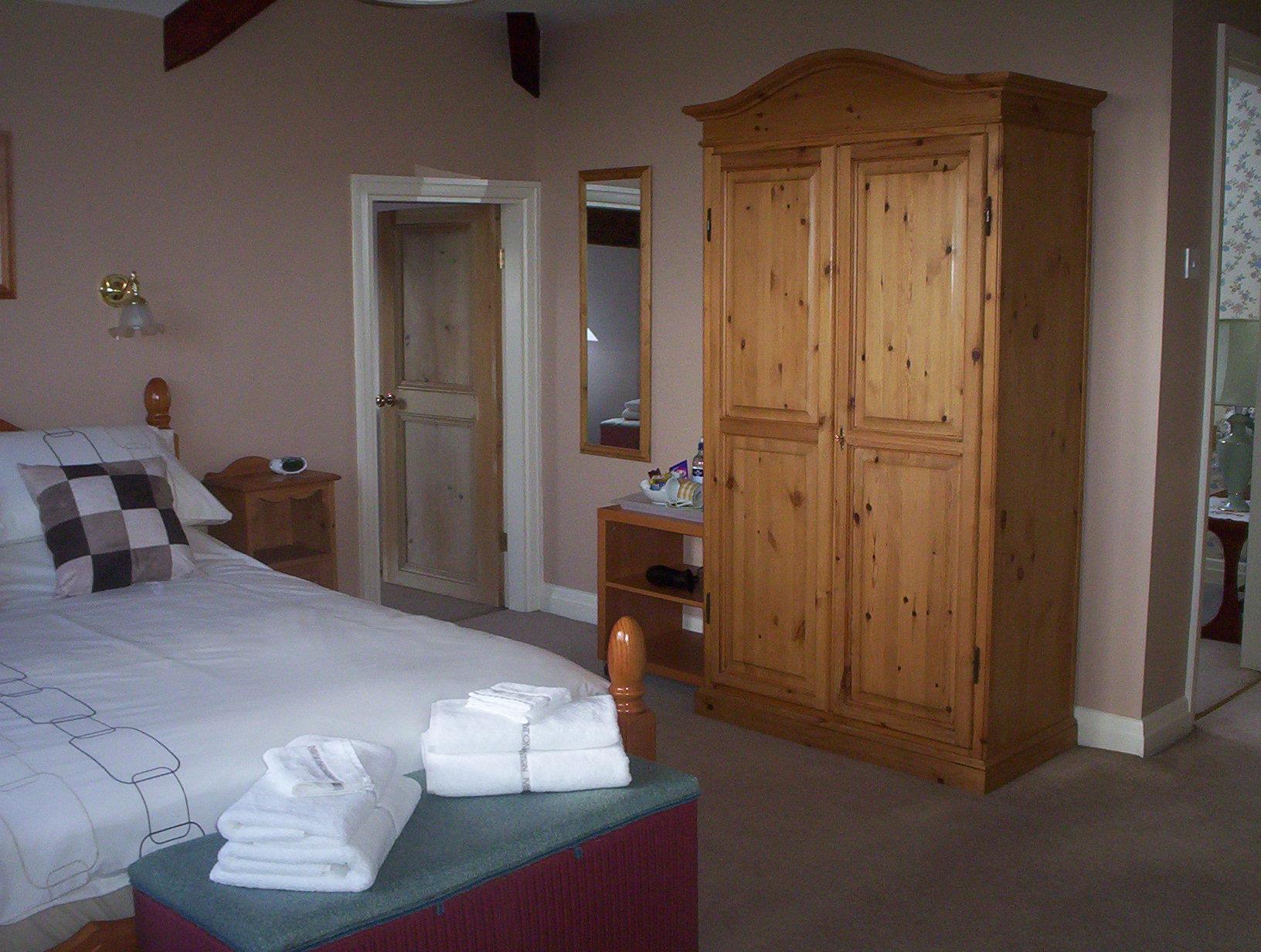
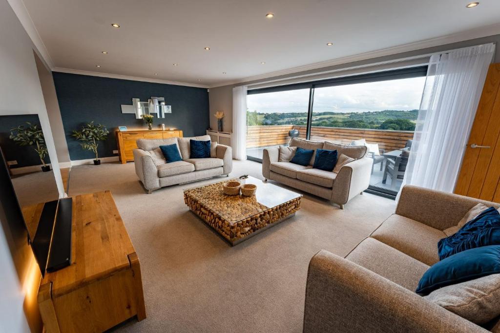
Luxury 4 Bedroom Home with Panoramic Views
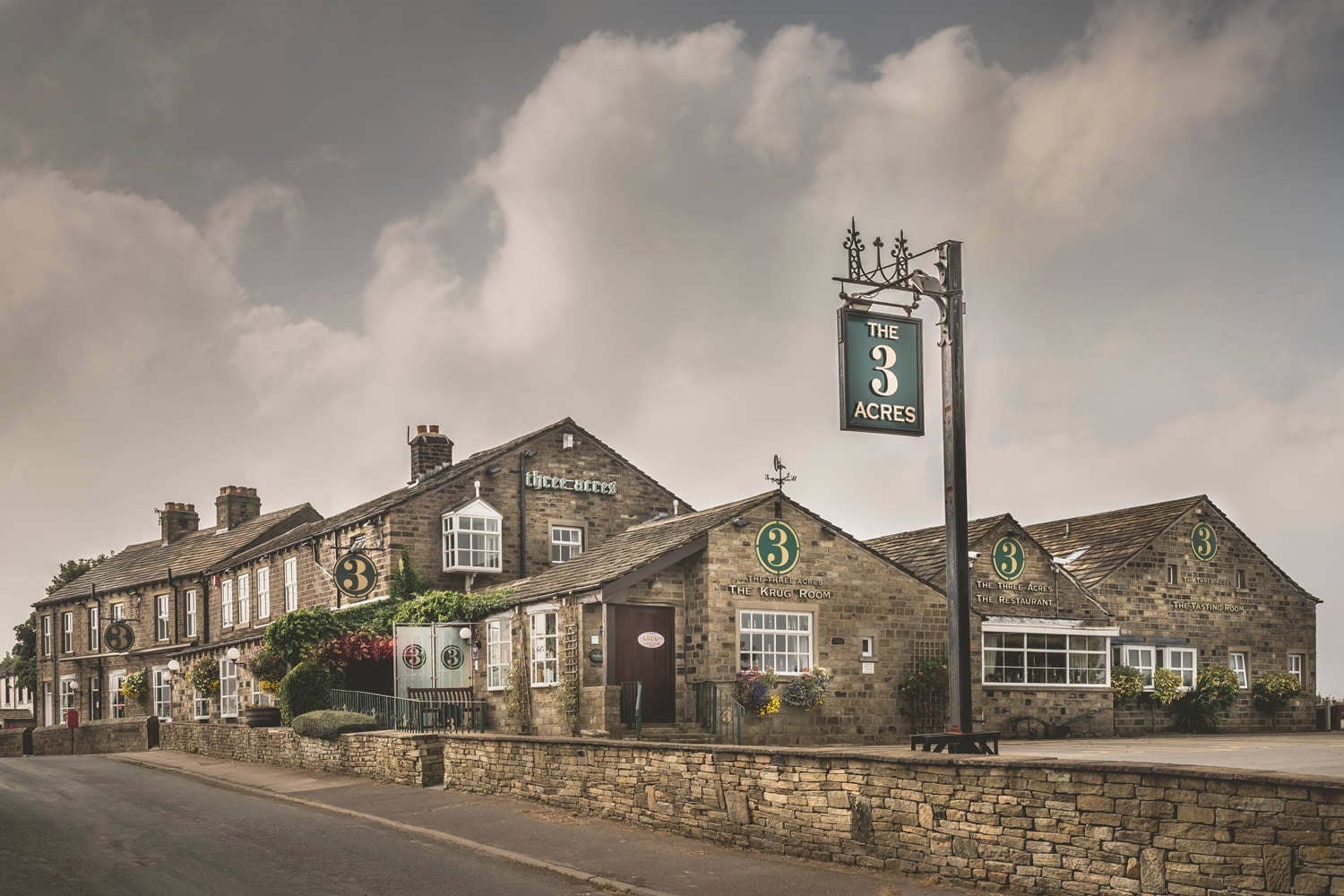
Three Acres Inn and Restaurant
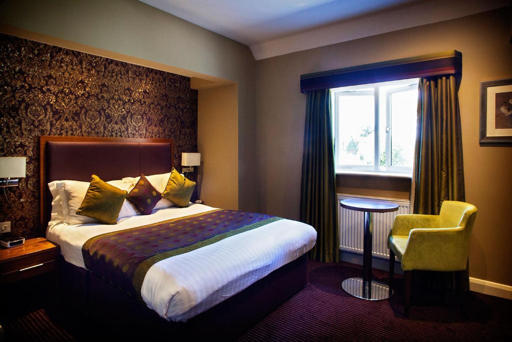
315 Bar & Restaurant

Browse by Type
Things to Do in Flockton
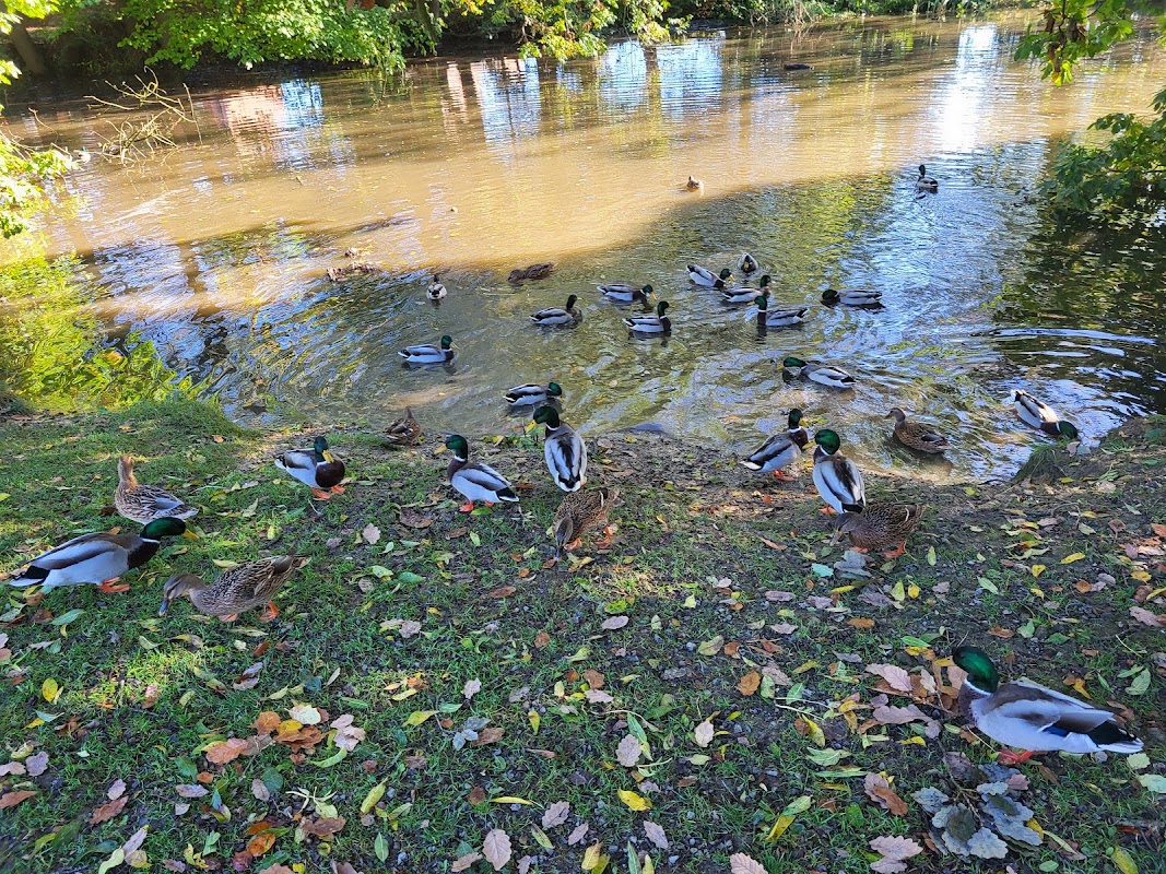
Flockton Duck Pond
Flockton Duck Pond offers a charming and serene escape in the heart of Flockton, Wakefield. Visitors can enjoy the picturesque pond and friendly ducks in a well-maintained park setting, perfect for families and nature lovers. While parking payment details are not specified, it's an ideal spot for a peaceful day out.
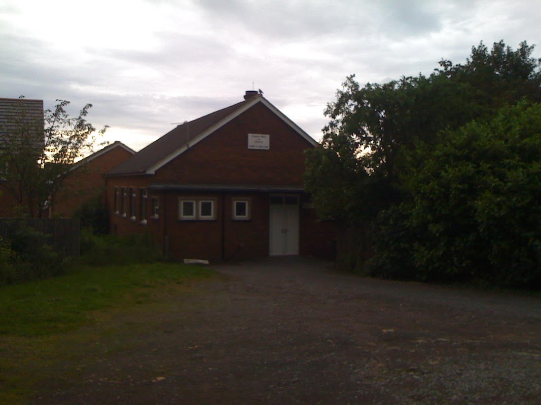
Darby & Joan Club Clayton West
Located in the charming village of Clayton West, the Darby & Joan Club offers a convenient parking facility for visitors attending events or appointments. The car park is easy to find and is managed by staff who assist with parking and provide guidance. Ideal for those visiting for vaccinations or local events, this facility ensures a smooth and organized experience.
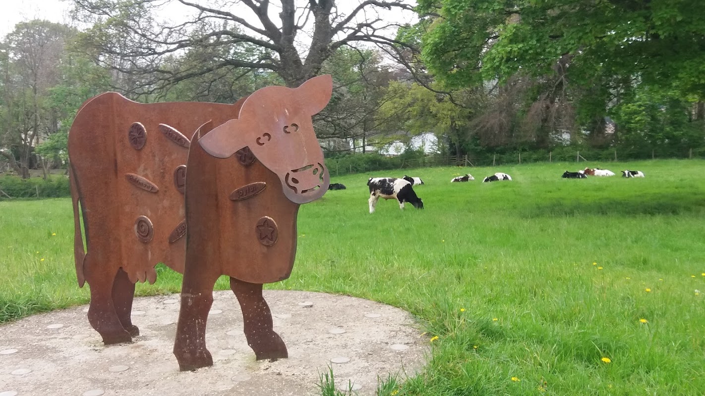
Kaye’s Millennium Green
Kaye’s Millennium Green in Clayton West offers a serene escape with its open grassy areas and picturesque scenery, perfect for a peaceful stroll. Located on Scott Hill in Huddersfield, this spot is ideal for nature lovers, though visitors should be prepared for some muddy paths and grazing livestock. While parking specifics are not detailed, typical facilities in the area are pay-and-display.
Food & Drink
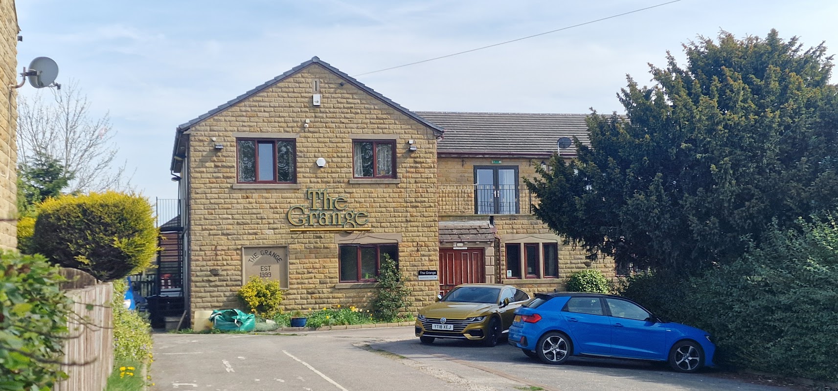
The Grange
The Grange in Grange Moor, Wakefield, offers a convenient parking option for visitors looking to enjoy a traditional pub experience. While the parking is likely pay-and-display, the pub itself is known for its friendly atmosphere and well-priced drinks, making it a great stop for tourists exploring the area.
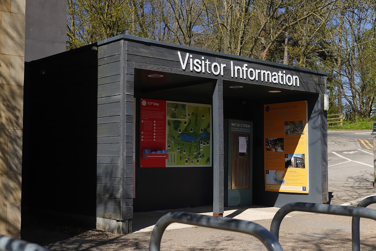
YSP Restaurant
Located within the picturesque Yorkshire Sculpture Park in West Bretton, the YSP Restaurant offers convenient pay-and-display parking for visitors. Enjoy a delightful meal with stunning views, making it a perfect stop for art enthusiasts exploring the park.
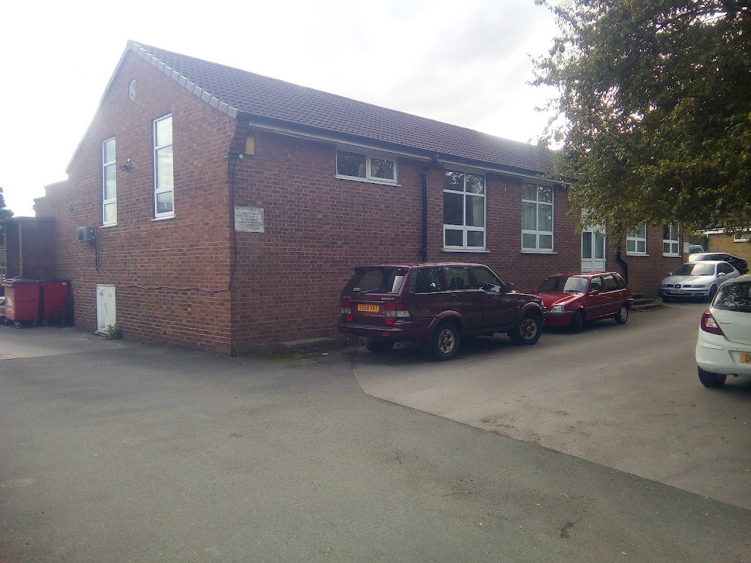
West Bretton Village Hall
West Bretton Village Hall offers ample free parking with an honesty box, making it a convenient spot for visitors exploring the charming village of Bretton. Located next to a bowling green, it provides easy access to local events and the surrounding area.
Browse by Type

Interactive Map
View accommodation, attractions, restaurants, and events on the map
Geographic Facts
This village is geographically within the following regions:
- Population
- 2,107
- Postcode
- WF4
- Administrative area
- Kirkburton
- Dialing code
- 01924
Data sourced from Wikidata and verified public records
Upcoming Events in Flockton
View All Events in Flockton →




Browse by Type
Walkshire in Flockton
More Walks in Flockton →
Walk: The Kirklees Way
The Kirklees Way is a scenic long-distance footpath that encircles the metropolitan borough of Kirklees in West Yorkshire, England. Spanning approximately 72 miles (116 km), this circular route offers a diverse and captivating journey through some of the region's most picturesque landscapes Designed for those seeking both a physical challenge and an opportunity to connect with the area's history and environment, the Kirklees Way provides a comprehensive experience of West Yorkshire's rural charm and historical depth. Whether undertaken in sections or as a complete circuit, the route promises a rewarding adventure for outdoor enthusiasts of all levels. The Route what3words for start point: ///squeaking.thanks.kinks Start Point: Marsden Railway Station Finish Point: Marsden Railway Station Distance: 72 Miles GPX Route Map kirklees-way-west-yorkshireDownload Walk Description Marsden The journey often begins in the village of Marsden, nestled in the Colne Valley. Known for its rugged Pennine landscapes, Marsden is the gateway to the Standedge Tunnel, the longest, highest, and deepest canal tunnel in Britain. Wessenden Valley and Reservoirs From Marsden, the path leads into the Wessenden Valley, home to a series of reservoirs, including Wessenden Reservoir and Wessenden Head Reservoir. This area is known for its stunning moorland views and is a haven for wildlife. Black Hill and Holme Valley Continuing east, the route ascends Black Hill, one of the highest points in West Yorkshire, offering panoramic views. It then descends into the Holme Valley, passing through the village of Holme, known for its proximity to Digley Reservoir and Brownhill Reservoir. Denby Dale and Skelmanthorpe Further along, the route passes through the villages of Denby Dale and Skelmanthorpe. Denby Dale is known for its famous giant pies and the Denby Dale Viaduct, while Skelmanthorpe offers a glimpse of traditional Yorkshire village life. Clayton West and the Dearne Valley The path continues through Clayton West, then follows the Dearne Valley into the village of Flockton, offering a mix of wooded areas and open fields. Grange Moor and Emley Moor The path then heads towards Grange Moor and the towering Emley Moor Mast, the tallest freestanding structure in the UK. The mast is a significant landmark visible from miles around. Thornhill and Dewsbury As the route heads back towards the west, it passes through Thornhill, known for its historic Thornhill Parish Church and Dewsbury. Dewsbury is a large market town with significant historical architecture and a bustling town centre. Huddersfield The route skirts the town of Huddersfield, a vibrant town known for its impressive architecture, including the Huddersfield Narrow Canal and Lockwood Viaduct. The route offers glimpses of the town before continuing into more rural areas. Scapegoat Hill and Deanhead Scapegoat Hill is a small, elevated village that stands proudly on the hillside, offering stunning panoramic views of the surrounding countryside. Continuing on the Kirklees Way, the route leads you to Deanhead, a remote area characterized by its rugged moorland terrain and a sense of isolation that feels far removed from the bustling towns below. Deanhead lies in the upper reaches of the Deanhead Reservoir. This section of the walk is particularly appealing to those who enjoy the raw beauty of the Pennines. Return to Marsden The route completes the circle as it returns to Marsden, bringing the journey full circle. Here, walkers can reflect on the varied landscapes, rich history, and natural beauty encountered along the Kirklees Way. Key Landmarks: Standedge Tunnel (Marsden) Wessenden Reservoirs Black Hill Digley and Brownhill Reservoirs Victoria Tower (Castle Hill) Emley Moor Mast Denby Dale Viaduct Thornhill Parish Church This journey through the Kirklees Way provides a comprehensive exploration of the area's natural and cultural heritage, making it a rewarding experience for hikers and history enthusiasts alike.

Walk: Coxley Woods
Follow these miles of woodland trails and lose yourself in the heart of nature in this lovely walk just outside Netherton. The Route what3words for start point: ///promoting.sandpaper.loving Start Point: Netherton Finish Point: Netherton Distance: 2 Miles GPX Route Map coxley-woodsDownload Walk Description Home to beautiful woodland, streams and ponds these wood have long been a local favourite especially in spring when the bluebells are in full bloom. There are also lots of other local wildlife to spot such as squirrels and the occasional deer as been spotted. The main trail winds its way from the north of the site following Croxley beck to Perkin wood and onto Stoney Cliffe Wood. Rest up here before retracing your steps and turning for home.