
Discover Glasshouses
Glasshouses is a village located in North Yorkshire, England, governed by Harrogate Borough Council. Situated at coordinates 54.0768, -1.7359, it lies within the HG3 postcode area. The village is part of the Nidderdale Area of Outstanding Natural Beauty, making it notable for its scenic landscapes and rich history in the wool industry.
Explore the map below to discover accommodation, attractions, restaurants, and live events across Glasshouses. Scroll down to browse featured listings and plan your perfect visit.
Property in Glasshouses
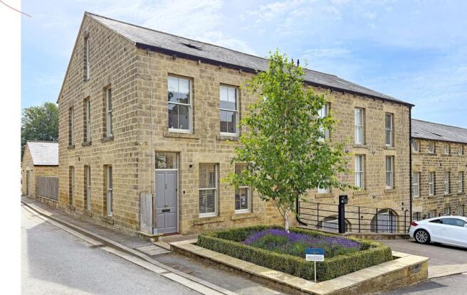
Explore property in Glasshouses — homes and commercial listings for sale and to rent. Start with detached houses.
Browse by type
Stay in Glasshouses
Birch Tree Holiday Cottages
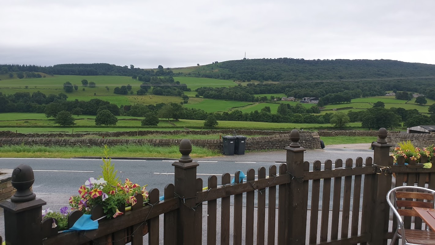
Birch Tree Holiday Cottages in Glasshouses, North Yorkshire, offer a serene getaway with beautifully decorated and comfortable accommodations. Each cottage comes with its own parking space, ensuring convenience for guests exploring the picturesque surroundings. Located near Harrogate, it's an ideal spot for tourists seeking a peaceful retreat.
Flax Mill Cottage holiday accommodation
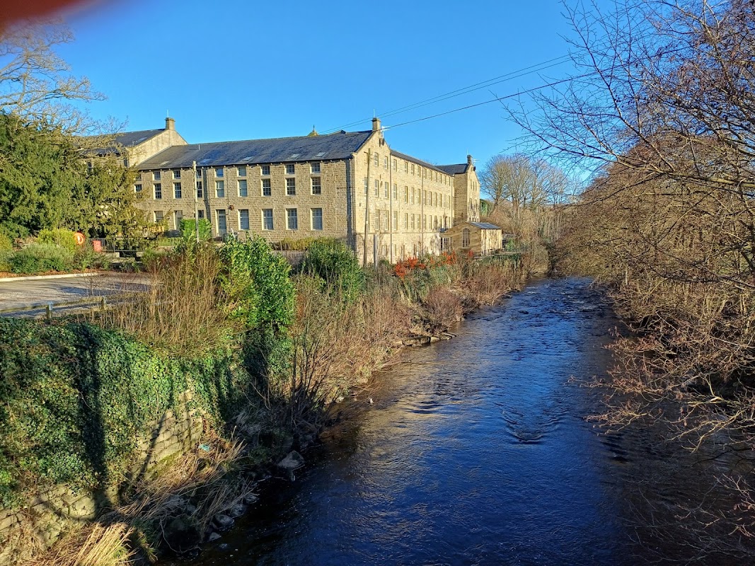
Flax Mill Cottage offers a charming holiday accommodation in the picturesque village of Glasshouses, North Yorkshire. While the parking specifics are not detailed, visitors can expect typical pay-and-display options common in the area. This location is perfect for exploring local attractions, walks, and wildlife, providing a comfortable and well-equipped base for your Yorkshire adventures.

Riverside Caravan Park
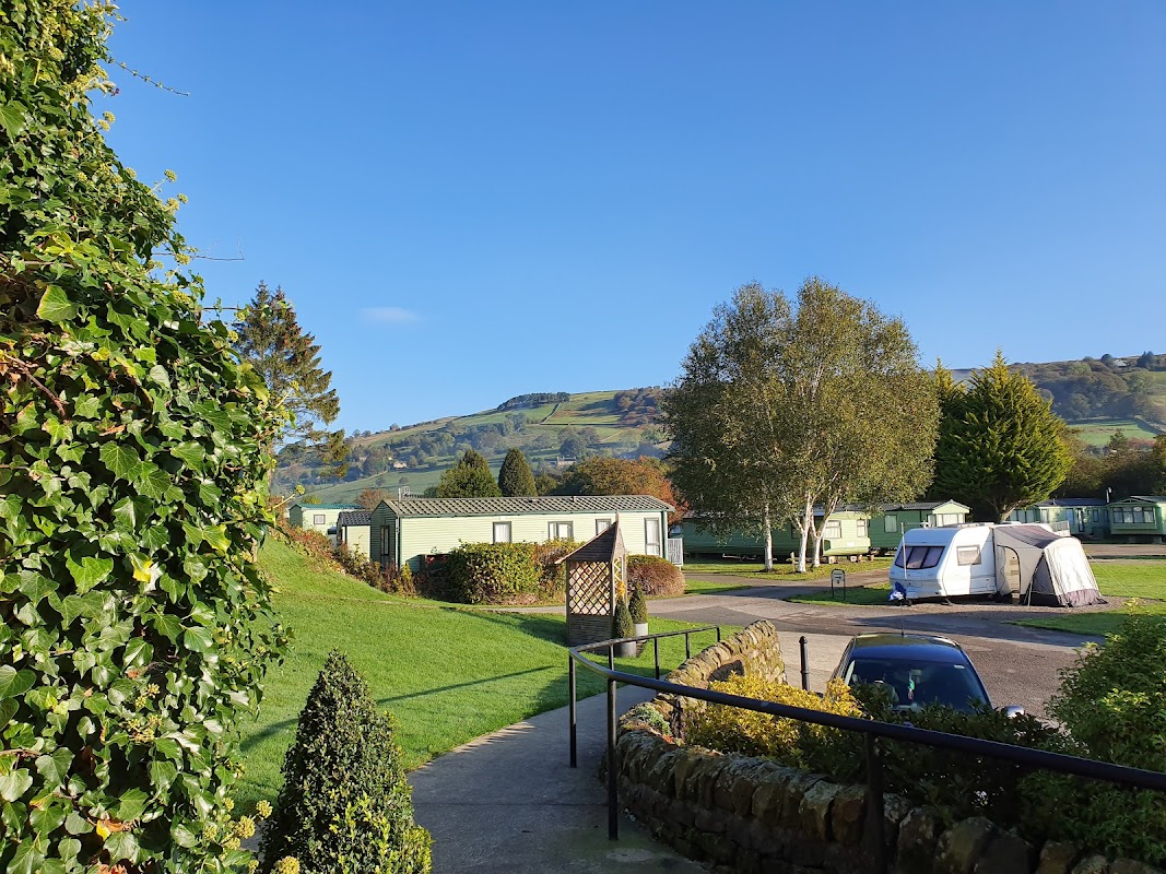
Riverside Caravan Park, located in the picturesque village of Glasshouses, North Yorkshire, offers a serene camping experience with well-maintained pitches and modern facilities. Just a short walk from the charming town of Pateley Bridge, visitors can enjoy scenic walks along the river and explore local attractions. The park is ideal for those looking to immerse themselves in nature while having easy access to nearby amenities.
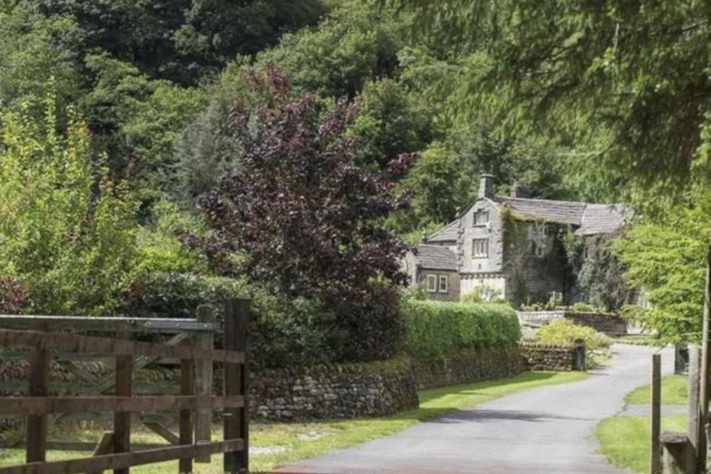
Roundhill Estate
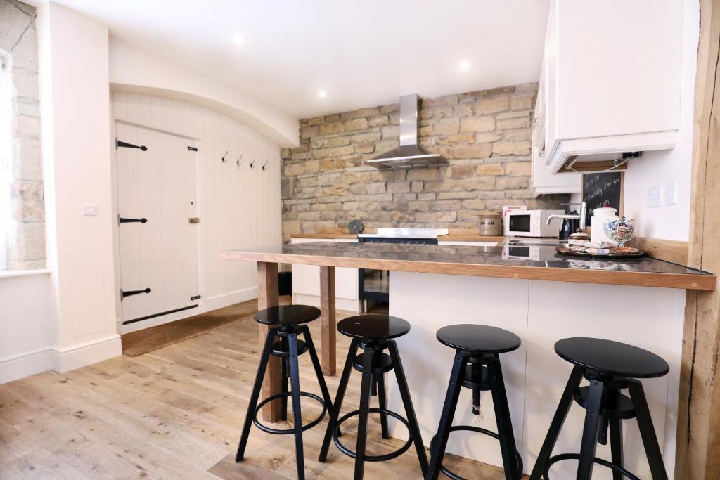
Browse by Type
Things to Do in Glasshouses
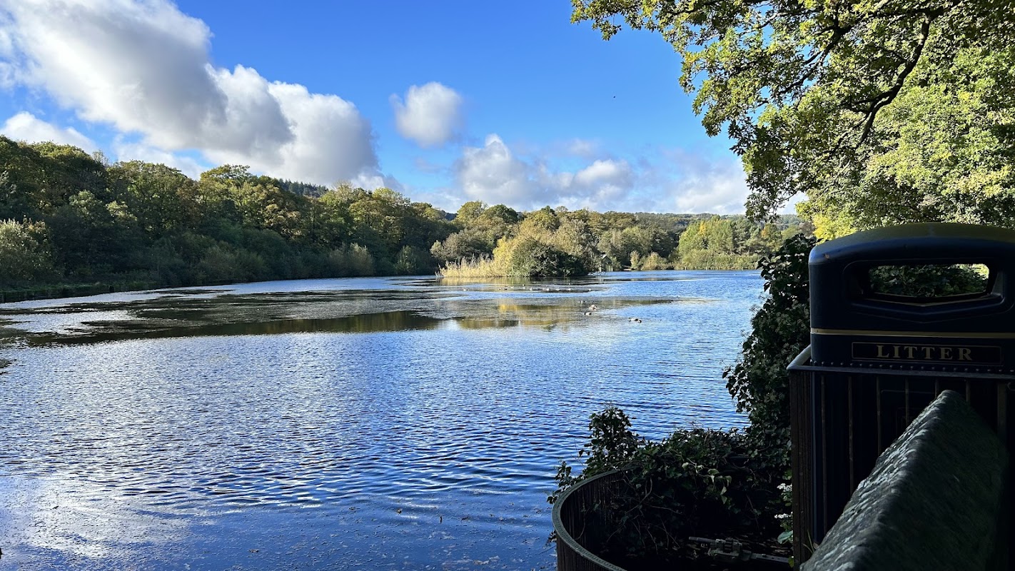
Glasshouses Dam
Glasshouses Dam offers picturesque parking in the charming village of Glasshouses, North Yorkshire. Ideal for nature enthusiasts, this free parking spot provides easy access to scenic walking paths leading to Pateley Bridge, perfect for a leisurely stroll or a dog walk.
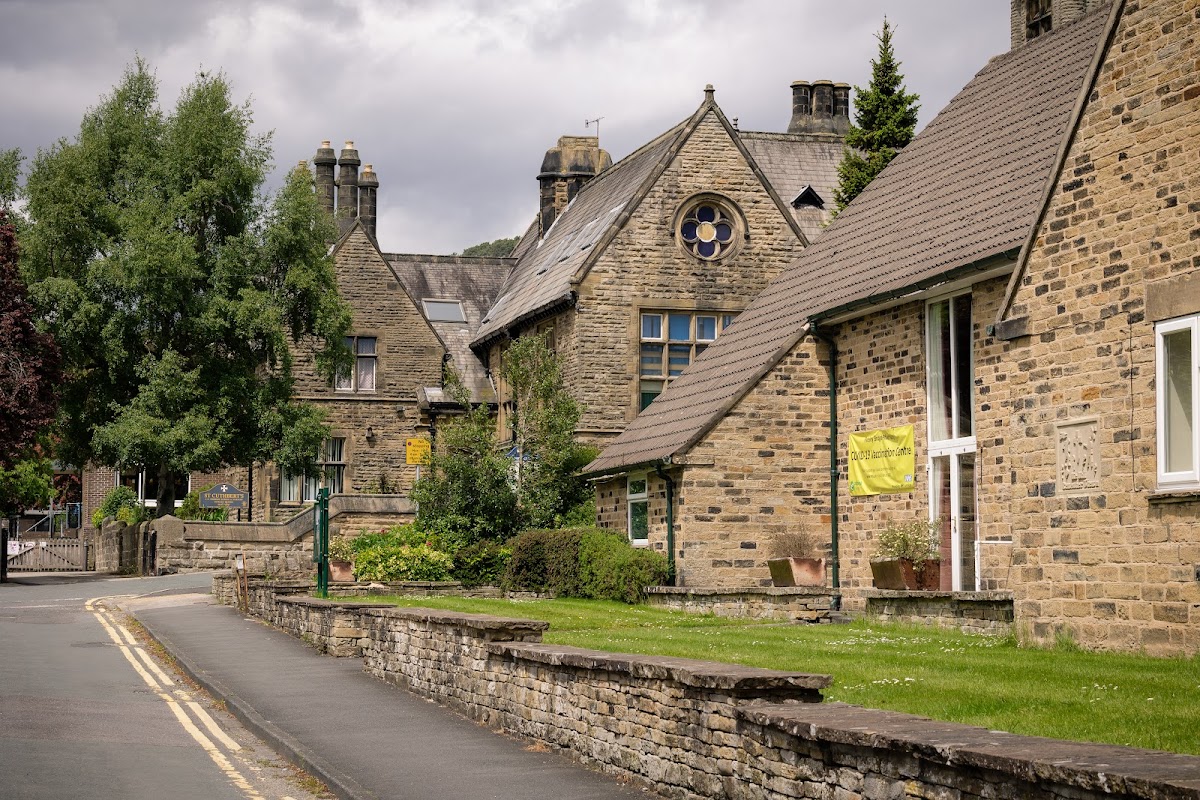
Pateley Bridge & Bewerley Memorial Hall
Pateley Bridge & Bewerley Memorial Hall offers convenient parking for visitors attending events at this charming venue in Glasshouses, North Yorkshire. Located on Park Rd, the parking facility provides easy access to the picturesque town of Pateley Bridge and its surrounding attractions. Ideal for tourists and event-goers, this parking area ensures a hassle-free experience as you explore the local area.
Fara Physio
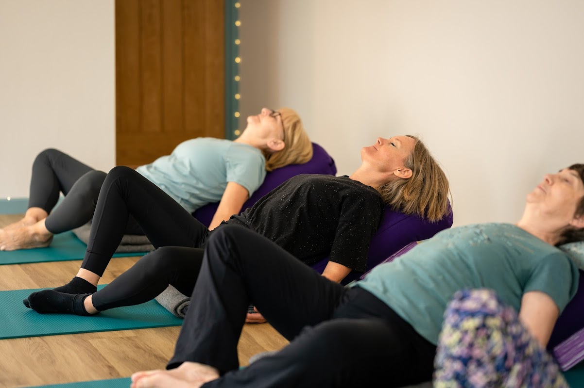
Located in the picturesque village of Dacre, North Yorkshire, Fara Physio offers convenient parking options for visitors. While exploring the charming surroundings of Harrogate, tourists can easily access this facility with standard pay-and-display parking available nearby. Enjoy a seamless visit to this health and wellness center, known for its excellent physiotherapy services.
Food & Drink
The Old Granary Tea Shop & Restaurant

Wildish
Discover Wildish in Pateley Bridge, a highly-rated cafe praised for its exceptional coffee, delightful treats, and welcoming atmosphere.

Whittaker’s Distillery

Interactive Map
View accommodation, attractions, restaurants, and events on the map
Geographic Facts
This village is geographically within the following regions:
Upcoming Events in Glasshouses
View All Events in Glasshouses →


Latest news from Glasshouses
All Local News →
From Local Farm to National Shelves: How a North Yorkshire Rapeseed Oil Business Wins Listing with Garden Centre Chain
A North Yorkshire farm business, Charlie & Ivy's, has landed a major nationwide listing! Find their award-winning rapeseed oil bread dippers in Dobbies now.
Walkshire in Glasshouses
More Walks in Glasshouses →
Walk: Bewerley, Yorke’s Folly & Guisecliff
A monastic grange, an intriguing folly and Guise Cliff with commanding views across Nidderdale. The Route what3words for start point: ///sling.fabric.tripped Start Point: Bewerley, Nidderdale Finish Point: Bewerley, Nidderdale Distance: 4.25 Miles GPX Route Map yorkes-folly-guisecliffDownload Walk Description Bewerley lies just across the river from Pateley Bridge, the ‘capital’ of upper Nidderdale. This is an attractive village of stone houses and old miners’ cottages clustered around a narrow village green complete with a red ‘phone box and an old water trough still with a working tap. Bewerley is much older than neighbouring Pateley Bridge and was once owned by Fountains Abbey who had a grange, or monastic sheep farm, here. Hidden away along the road through the village is Bewerley Grange Chapel, built between 1494 and 1526 by Marmaduke Huby, the last Abbot of Fountains Abbey before the Dissolution of the Monasteries. This chapel was built to serve the grange, and is still in use as a chapel. Our walk climbs up onto the moors above Bewerley from where there are wonderful views across Nidderdale towards Pateley Bridge. Visible for miles around, the conspicuous landmark of Yorke’s Folly was built over 200 years ago by the local wealthy Yorke family to provide employment for local people during a period of hardship. There were originally three pillars, however one fell down during a storm in 1893. From Yorke’s Folly a path leads across the top of Guise Cliff, a ridge of sandstone rocks weathered into weird and wonderful shapes with rocks jutting out high above the trees below with precipitous cliffs and crevices – keep away from the edge and children and dogs under close supervision as there are hidden crevices and sheer drops. The return ‘leg’ of this walk meanders through Guisecliff Wood, a wonderful expanse of ancient woodland with a small hidden lake amongst the trees. This woodland is carpeted with bluebells in spring.

Walk: Yorkshire Heritage Way
The Yorkshire Heritage Way is a long-distance walking route spanning 42 miles through West Yorkshire and North Yorkshire. Linking the vibrant city of Bradford with the historic cathedral city of Ripon, the trail takes in two UNESCO World Heritage Sites—Saltaire and Fountains Abbey—along with stunning countryside across Baildon Moor, the Washburn Valley and Nidderdale. Designed to connect urban and rural landscapes, the route blends spiritual, cultural, and natural heritage in one continuous and varied journey. The Route what3words for start point: ///purely.state.movesStart & Finish Point: Bradford Cathedral to Ripon CathedralDistance: 42 miles (68 km) GPX Route Map yorkshireheritagewayDownload Walk Description The Yorkshire Heritage Way begins at Bradford Cathedral, an ancient place of worship in the heart of the city, and heads north along green corridors and towpaths toward the model village of Saltaire, a UNESCO World Heritage Site known for its industrial and social history. From Saltaire, the route climbs gradually through Shipley Glen and out onto Baildon Moor, where wide views open across the moorland. The path then descends toward Burley in Wharfedale, where walkers must cross the River Wharfe—either by a traditional stepping stone crossing or by diverting two miles upstream to Denton Bridge. A new footbridge here has been a long-standing ambition of the local community. Entering North Yorkshire, the trail winds through Timble, past Blubberhouses Church, and into the Washburn Valley, climbing toward Thruscross Reservoir before descending into the wooded reaches near Glasshouses. Soon after, the dramatic formations of Brimham Rocks offer a spectacular natural landmark. The final stretch leads to Fountains Abbey and Studley Royal Park, a second UNESCO site combining Cistercian ruins with Georgian water gardens and deer-filled parkland. The walk concludes at Ripon Cathedral, a fittingly peaceful end to a route rich in history, beauty and Yorkshire character.

Nidderdale Way Walk
The Nidderdale Way is a circular walk which explores the valley and uplands of the Nidderdale areas. The Route Start Point: Hampsthwaite Finish Point: Hampsthwaite Distance: 53 GPX Route Map nidderdalewayDownload Walk Description what3words for start point: ///inclined.canoe.campus The Nidderdale Way is a circular walk which explores the valley and uplands of the Nidderdale areas. It can be started at any point but many start from Hampsthwaite just north of Harrogate and head west towards upper Nidderdale by following the River Nidd upstream. the route goes through Birstwith, Swarcliffe, Darley, Dacre Banks and Summerbridge before leaving the river and climbing to High Shaw, Abraham Crags and High Crags where there are stunning views down to Nidderdale from Yorke's Folly. The route continues onto Bewerley and heads down to the east side of Gouthwaite Reservoir. Leaving the reservoir side near Ramsgill the walk heads deep into upper Nidderdale via Stean Gorge and Middlesmoor to Scar House Reservoir. The route continues south along the valley on paths and trails by the east side of Gouthwaite Reservoir again but this time in the downstream direction close to Pateley Bridge. Then more low moor paths are followed to the south of the spectacular Brimham Rocks before continuing to Shaw Mills and then to Ripley. A short walk back to Hampsthwaite then completes the stunning circular walk.