
Discover Golcar
Golcar is a village located in West Yorkshire, governed by Kirklees Council. It has a population of around 7,000 residents and falls under the HD7 postcode. Known for its historic weaving industry, Golcar offers visitors a glimpse into its rich textile heritage and panoramic views of the Colne Valley.
Explore the map below to discover accommodation, attractions, restaurants, and live events across Golcar. Scroll down to browse featured listings and plan your perfect visit.
Stay in Golcar
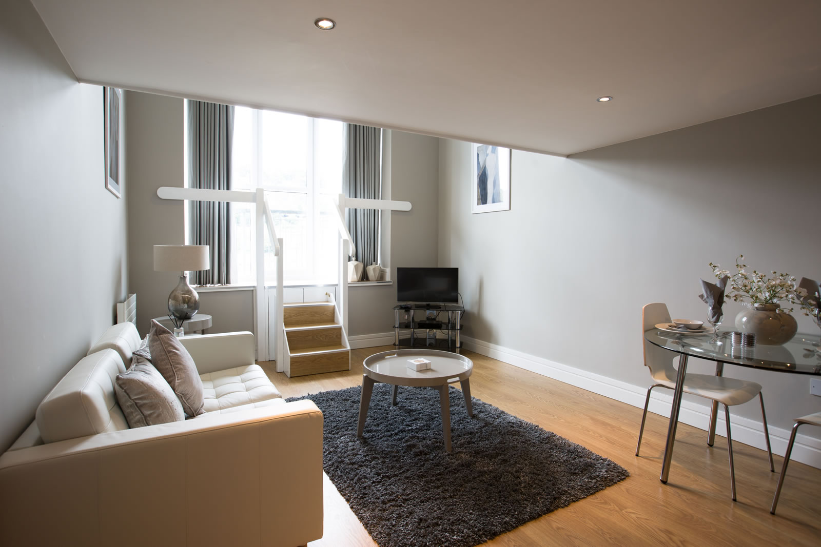
Titanic Spa Apartments
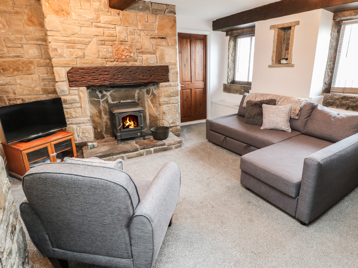
Bobbin Cottage
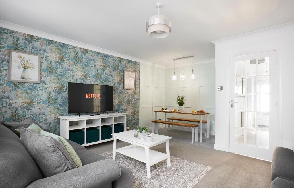
Links to M62 - 3 bedroom property
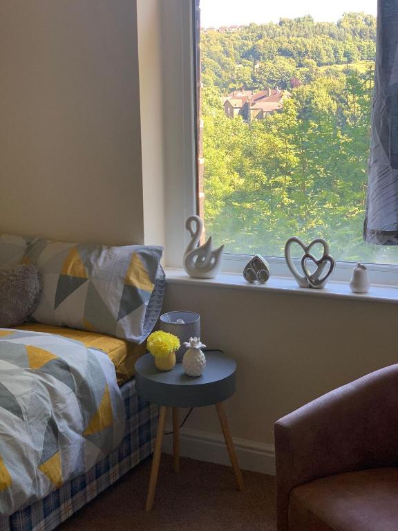
Delightful Cottage in Huddersfield town
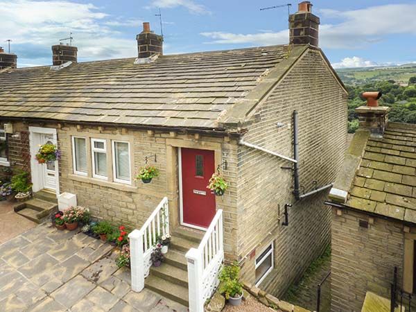
Ginnel Corner
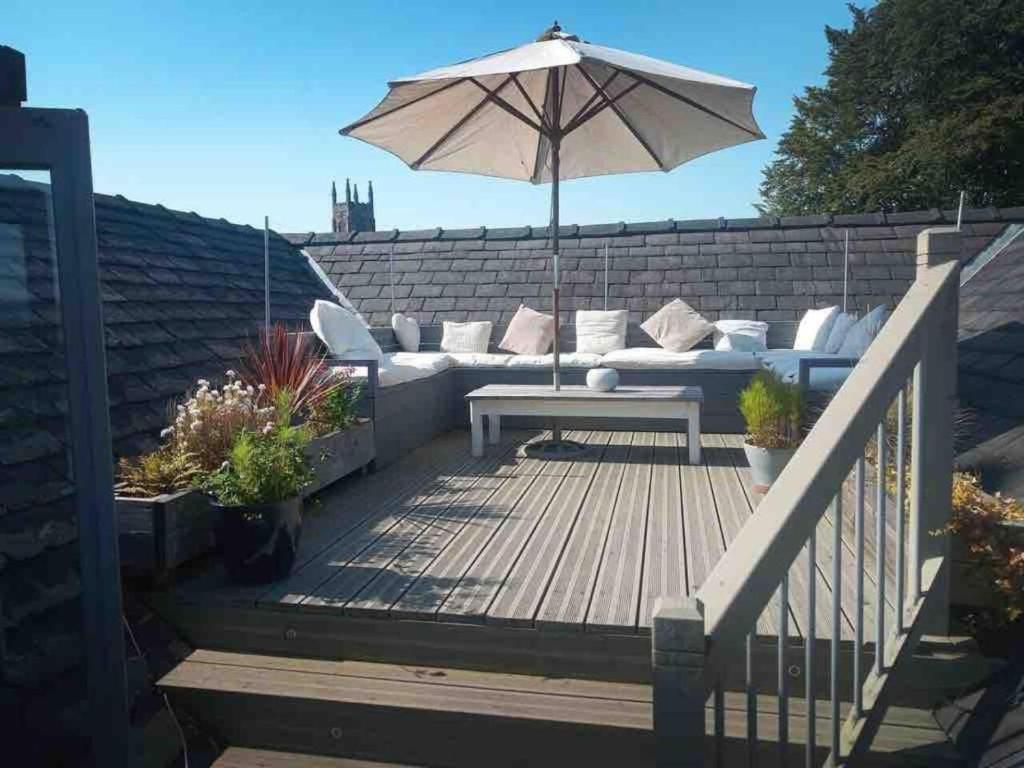
Luxury 3 bedroom penthouse w massive roof terrace
Browse by Type
Things to Do in Golcar
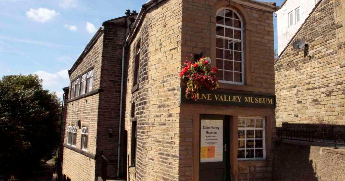
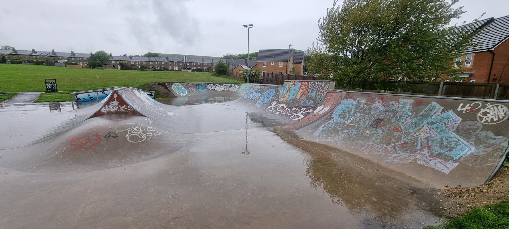
Meltham Skatepark
Meltham Skatepark, located in the picturesque town of Meltham, offers a delightful recreational area for families and children. Situated in a recreation park, it provides ample space for skateboarding and other sports activities, making it a friendly spot for locals and tourists alike.
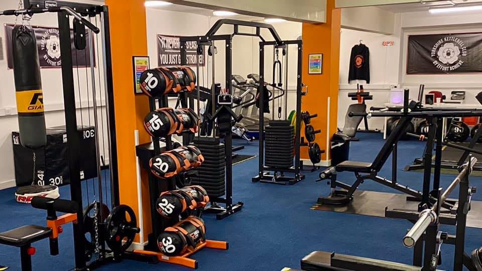
Yorkshire Kettlebell Club
Discover expert kettlebell training in Huddersfield, praised for its great trainers and welcoming atmosphere.
Food & Drink
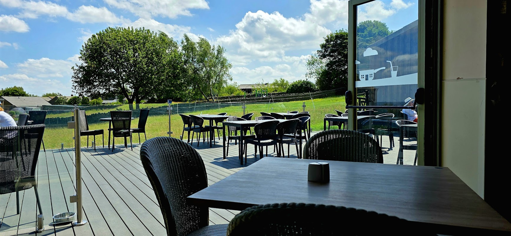
Bolstermoor Coffee Shop
Located in the picturesque area of Golcar, Bolstermoor Coffee Shop offers a delightful dining experience with its modern yet cozy farmhouse decor and spectacular views. While enjoying a meal, visitors can take advantage of the convenient pay-and-display parking options nearby, making it an accessible stop for tourists exploring Huddersfield.

Cactus cafe Huddersfield
Cactus Cafe Huddersfield offers a charming blend of delightful refreshments and a curated selection of books on Water Street.

HD1 Sports Bar
Catch all the live action and enjoy a vibrant atmosphere at HD1 Sports Bar, a popular spot in Huddersfield town centre.
Browse by Type

Interactive Map
View accommodation, attractions, restaurants, and events on the map
Geographic Facts
This village is geographically within the following regions:
- Population
- 6,900
- Postcode
- HD7
- Administrative area
- Kirklees
Data sourced from Wikidata and verified public records
Upcoming Events in Golcar
View All Events in Golcar →



Latest news from Golcar
All Local News →
Jones Homes Yorkshire Appoints Tom Dixon as New Head of Technical to Drive Low-Carbon Transition
Jones Homes Yorkshire has appointed Tom Dixon as Head of Technical to drive low-carbon technologies and ensure compliance with the Future Homes Standard in upco
Walkshire in Golcar
More Walks in Golcar →
Walk: Scammonden Reservoir
An accessible wander around the Scammonden Reservoir, lodged between Worts Hill and Moselden Height near Huddersfield, in the shadow of the mighty M62 motorway. The Route what3words for start point: ///inert.skin.molars Start Point: Scammonden Water Car Park, Low Platt Lane, Huddersfield HD3 3FR Finish Point: Scammonden Water Car Park, Low Platt Lane, Huddersfield HD3 3FR Distance: 3 Miles GPX Route Map walkshirescammondenreservoirDownload Walk Description From the Wood Edge car park, nearest to the M62, walk towards the motorway and head through the gap in the fence onto a surfaced path. When the path forks, it doesn’t matter which one you pick, just follow it until you reach a fairly steep downhill path. Follow this path as it zig-zags down to just before the water’s edge. The path levels out, and then you turn left onto a permissive Yorkshire Water path running alongside the reservoir. Follow this for around half the length of the reservoir until you reach the sailing club. During construction of Scammonden Reservoir, the village of Deanhead was submerged and many buildings were demolished. Scammonden now holds a massive 7.8 billion litres of water. The path starts to rise to the left and goes through a gate. The path then meets another track coming down the hill on the left. Follow the path turning left down to the sailing club access road. Turn left on the access road and then turn first right to drop down towards the waterfront Near the bottom of the slope, turn left close to the high-water line and follow the path to the head of the reservoir passing through two gates which are close to each other. The path splits here, and you take the right-hand path, crossing a bridge to continue around the reservoir. After the bridge, follow the path on your left until you reach a tarmac ramp, just before the motorway. Veer right and follow the track with the fence on your right hand side over the dam embankment. At the end of the dam, retrace your steps up the zig-zag path to the car park. On the way home, why not take the Scammonden Road at Moselden Height (pictured below).

Walk: Huddersfield Narrow Canal
This wonderful walk starts in the centre of Huddersfield and is full of heritage and history for the industrial revolution. Follow the canal as it makes it's way up through the Pennines to Standedge tunnel which cuts through the hill side on it's way to Manchester. The Route what3words for start point: ///song.snacks.miss Start Point: Huddersfield Finish Point: Standedge Distance: 21 Miles GPX Route Map huddersfield-narrow-canalDownload Walk Description Starting in central Huddersfield make sure you take the time to spot the beautiful buildings of a bygone age. The canal is dotted with repurposed warehouse and factory buildings that relied on the canal for supplies and goods. There are excellent narrow locks to safely explore and hopefully see in use for that amazing photo. This is a long distance walk so we suggest you break it up into manageable chunks dependent on your walking ability. The contrast of the countryside outside of Huddersfield is stark as those industrial buildings give way to the stunning views of the Pennine footholds and the lovely villages such as Slaithwaite. You'll also be rewarded with a wide range of bird life nestled into the canal's ecosystem such as plover and curlew. The walk finishes (for Yorkshire) at Standedge tunnel, the deepest canal tunnel in the UK.