
Discover Halton East
Halton East is a village located in North Yorkshire, governed by North Yorkshire Council (formerly Craven). With a population of 85, it falls under the BD23 postcode area. Known for its rural landscape, Halton East provides a glimpse into traditional village life in the region, characterized by its historical architecture and scenic surroundings.
Explore the map below to discover accommodation, attractions, restaurants, and live events across Halton East. Scroll down to browse featured listings and plan your perfect visit.
Property in Halton East
Property in Halton East will appear here once listings are ingested.
Stay in Halton East
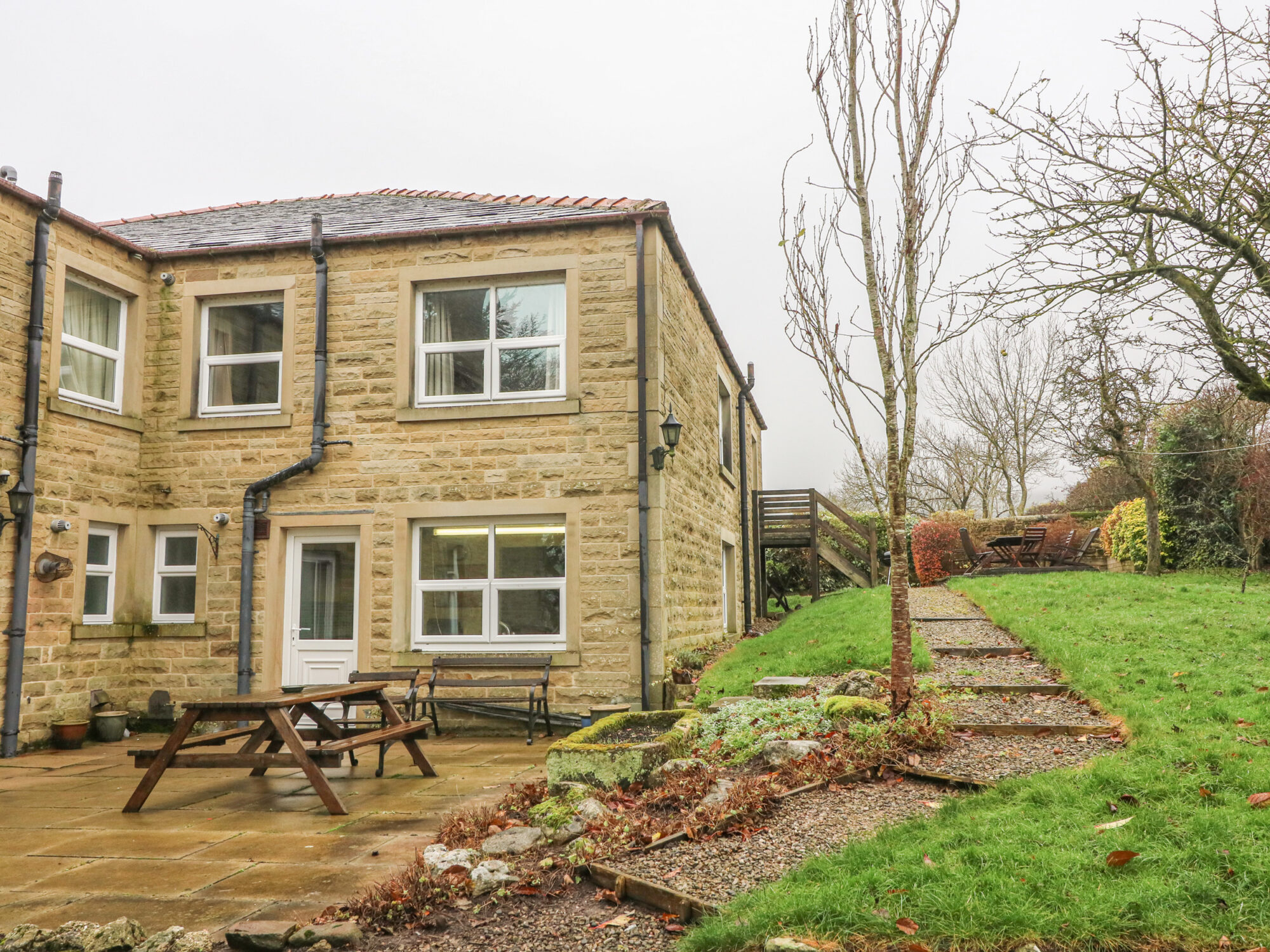
Laurel Bank Cottage
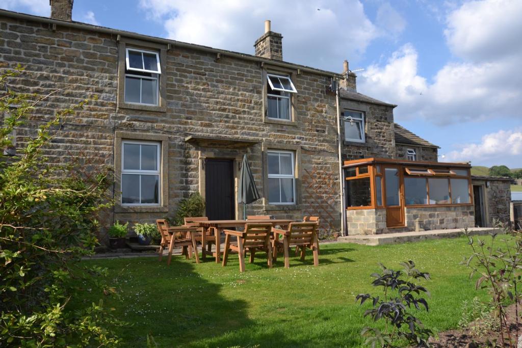
Bondcroft Farm B&B
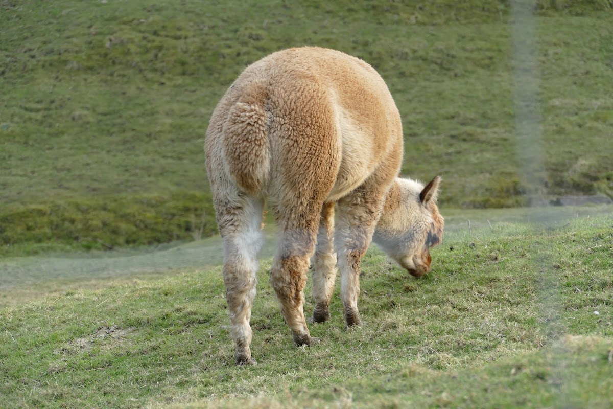
Overdale Trailer Park Ltd
Discover Overdale Park, a peaceful and friendly residential park for the over 55s, conveniently located near Skipton.
Draughton Heights Campsite
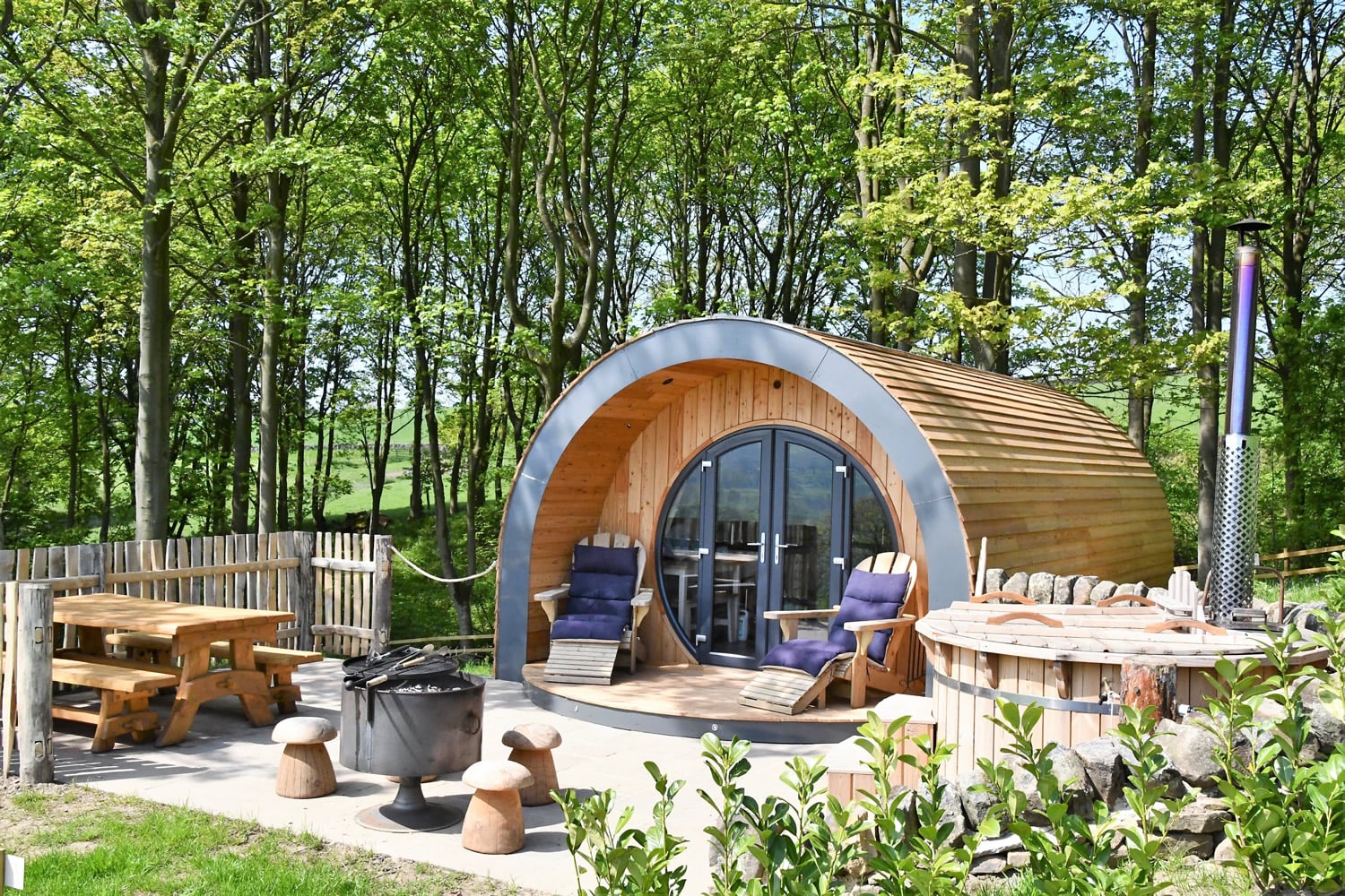
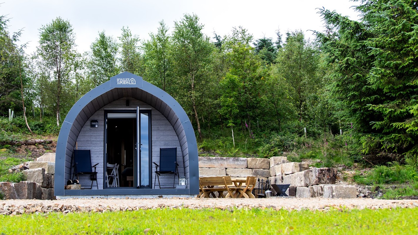
Draughton Heights Campsite offers a serene escape in the picturesque landscape of North Yorkshire. Located near Skipton, this campsite provides well-maintained facilities and a welcoming atmosphere, making it an ideal spot for campers looking to unwind in nature. The site is currently being developed further, promising even more amenities in the future.
Browse by Type
Things to Do in Halton East
Billy-Bob’s Parlour at the Yorkshire Dales Ice Cream Farm
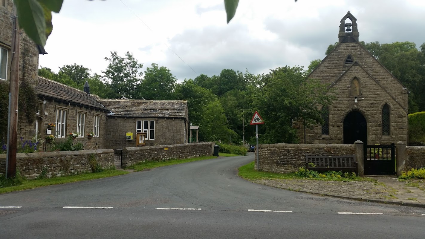
Draughton Village Hall
Draughton Village Hall offers a charming and convenient parking option for visitors to this picturesque village near Skipton. Located off-road by the church opposite the hall, the parking is easily accessible and enhances the experience of attending events at this delightful community venue.
Food & Drink

The Brasserie at The Devonshire Arms
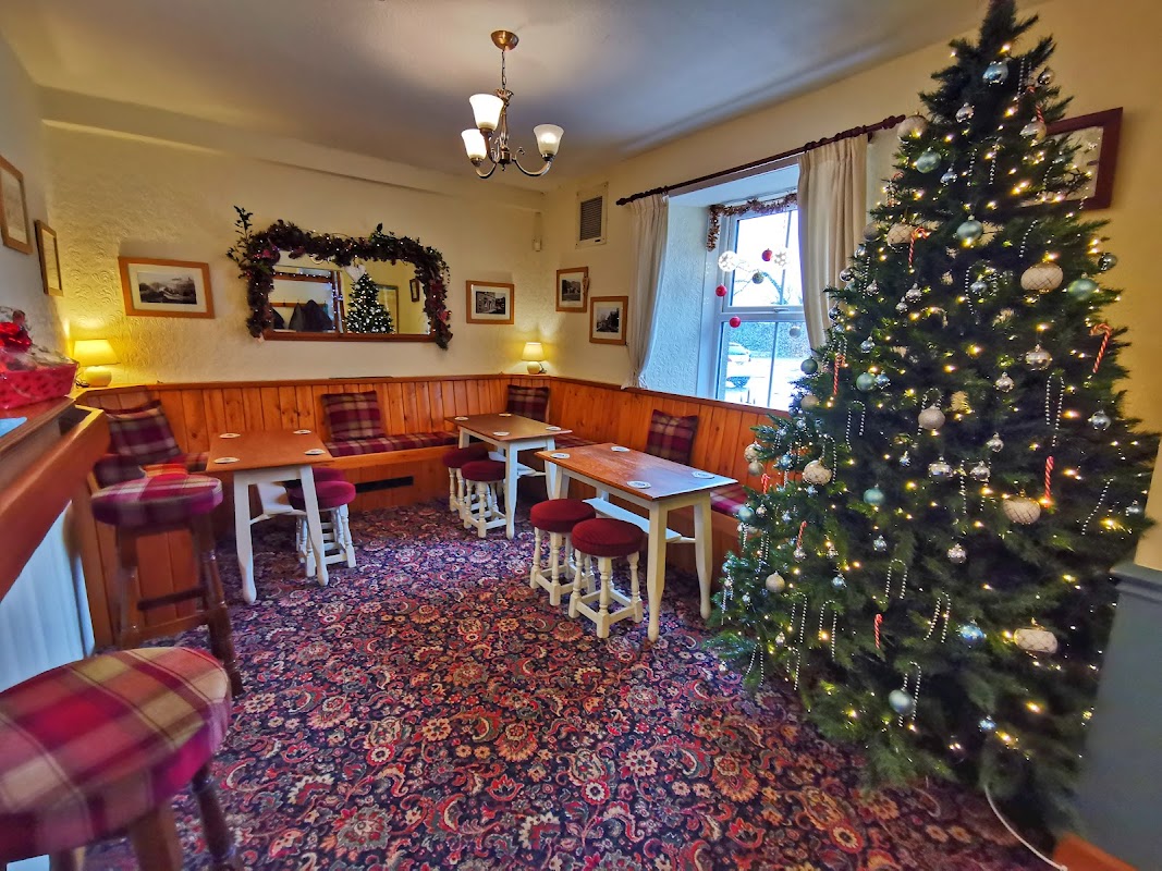
Cavendish Arms
Located in the charming village of Embsay, the Cavendish Arms offers a welcoming atmosphere with plenty of parking space available for motorhomes and other vehicles. Visitors can enjoy a delightful meal in the pub's lovely garden area, and explore nearby attractions like the Embsay heritage railway. This dog-friendly pub is perfect for a relaxing stopover in the Yorkshire countryside.
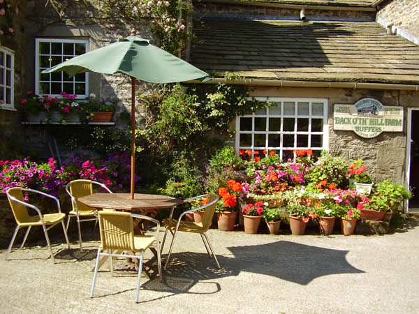
Buffers Coffee Shop
Browse by Type

Interactive Map
View accommodation, attractions, restaurants, and events on the map
Geographic Facts
This village is geographically within the following regions:
- Population
- 85
- Postcode
- BD23
- Administrative area
- North Yorkshire Council (formerly Craven)
Data sourced from Wikidata and verified public records
Upcoming Events in Halton East
View All Events in Halton East →




Latest news from Halton East
All Local News →
From Local Farm to National Shelves: How a North Yorkshire Rapeseed Oil Business Wins Listing with Garden Centre Chain
A North Yorkshire farm business, Charlie & Ivy's, has landed a major nationwide listing! Find their award-winning rapeseed oil bread dippers in Dobbies now.
Walkshire in Halton East
More Walks in Halton East →
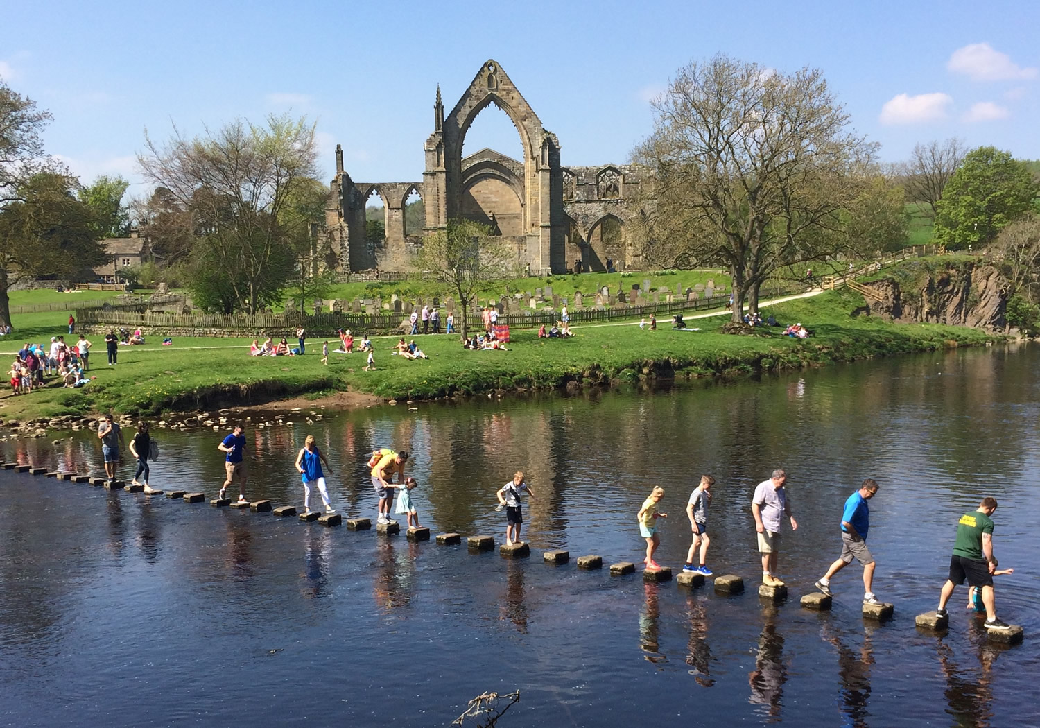
Walk: Bolton Abbey
An easy access walk at the delightful Bolton Abbey alongside the River Wharfe. This tranquil walk takes you past a well known section of the River Wharfe called The Strid. The Route what3words for start point: ///cello.lollipop.ratty Start / Finish Point: Sandholme Car Park, Bolton Abbey, Skipton BD23 6EX Distance: 4.6 Miles GPX Route Map drawaroute-14Download Walk Description An easy access walk at the delightful Bolton Abbey alongside the River Wharfe. For the first 1.8km of the route, the surface is compact stone at a width of at least 200cm. There are passing places and accessible benches along the full length of the route. Most of the route is flat with some areas having a gradient up to 1:10. From here, the route is unsurfaced with some gradients reaching 1:6.

Bolton Abbey to Simon's Seat Walk
A 6-mile out-and-back walk from Bolton Abbey, up through the Valley of Desolation, on to Simon’s Seat and back. Route Start: Bolton Abbey Finish: Bolton Abbey Distance: 6 Miles Route Map & GPX File bolton-abbey-simons-seatDownload Walk Description what3words for start point: ///puzzle.ballparks.limbs Enjoy a beautiful, varied walk from Bolton Abbey, up through the Valley of Desolation on to Simon’s Seat. Walk through heather moorland, woodland trails and past waterfalls and rushing becks, culminating in spectacular views from the walk’s summit. Expect a challenging 3-mile hike up to the summit, making the most of a well-signposted path that rises slowly before reaching a peak of 485m. Then the return walk follows the same trail back down to the Bolton Abbey Estate.

Embsay Reservoir and Embsay Crag Walk
This short walk near Skipton offers a pleasant and straightforward route, beginning with a stroll to Embsay Reservoir and finishing with an easy climb to the summit of Embsay Crag. The Route Start Point: Embsay near the Elm Tree Inn (5 Elm Tree Square, Embsay, Skipton BD23 6RB) Finish Point: Embsay near the Elm Tree Inn Distance: 3.5 miles GPX Route Map embsaycragDownload Walk Description what3words for start point: ///thrillers.simulations.spoils Start your walk from the Elm Tree Inn and follow a Pasture Road to the reservoir. Continue on a well-marked path leading up to Embsay Crag. The climb is short but rewarding. The route then brings you back to the village of Embsay, offering a fresh perspective as you return. This walk is ideal for anyone looking for a quick, scenic escape into the countryside.

The Lady Anne Way Walk
Lady Anne’s Way is a long distance path from Skipton Castle in North Yorkshire to Broughham Castle at Penrith in Cumbria. The Route Start Point: Skipton Finish Point: Penrith Distance: 96 miles GPX Route Map ladyanneswayDownload Walk Description what3words for start point: ///elders.bars.somewhere Lady Anne’s Way is a long distance path from Skipton Castle in North Yorkshire to Broughham Castle at Penrith in Cumbria. The route takes in locations associated with landowner Lady Anne Clifford who owned vast estates including a number of castles. This walk follows in her footsteps, re-tracing routes that she may well have used as she travelled between her homes. Making its way through the Yorkshire Dales and the Upper Eden Valley the walk is one of beauty and historical interest. This iconic walk passes through some of the finest areas of Yorkshire including Wensleydale and Wharfedale before continuing on through the remote fells of Mallerstang to enter the historic county of Westmorland and Eden Valley.