
Discover Harden
Harden is a village located in the BD16 postcode area, governed by Bradford Council. It has a population of approximately 2,000 residents. Known for its scenic landscapes, Harden offers a glimpse into traditional village life while being conveniently situated near larger urban centers. Visitors can explore its local heritage and natural beauty.
Explore the map below to discover accommodation, attractions, restaurants, and live events across Harden. Scroll down to browse featured listings and plan your perfect visit.
Stay in Harden
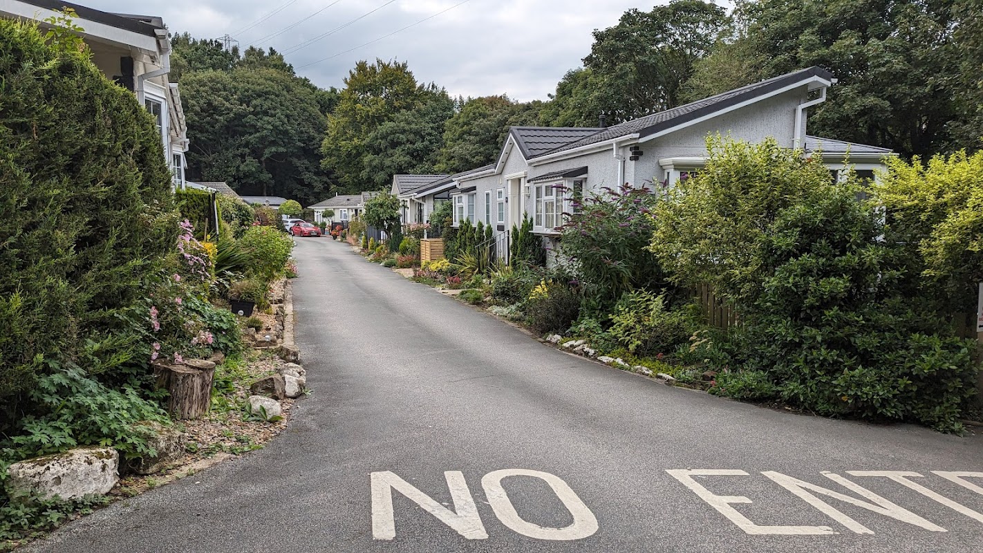
Harden & Bingley Park
Harden & Bingley Park, located on Goit Stock Lane in the picturesque area of Bingley, offers convenient parking for visitors exploring the nearby natural attractions, including stunning waterfalls. Ideal for tourists seeking a peaceful retreat, this parking facility provides easy access to the scenic surroundings and local points of interest.
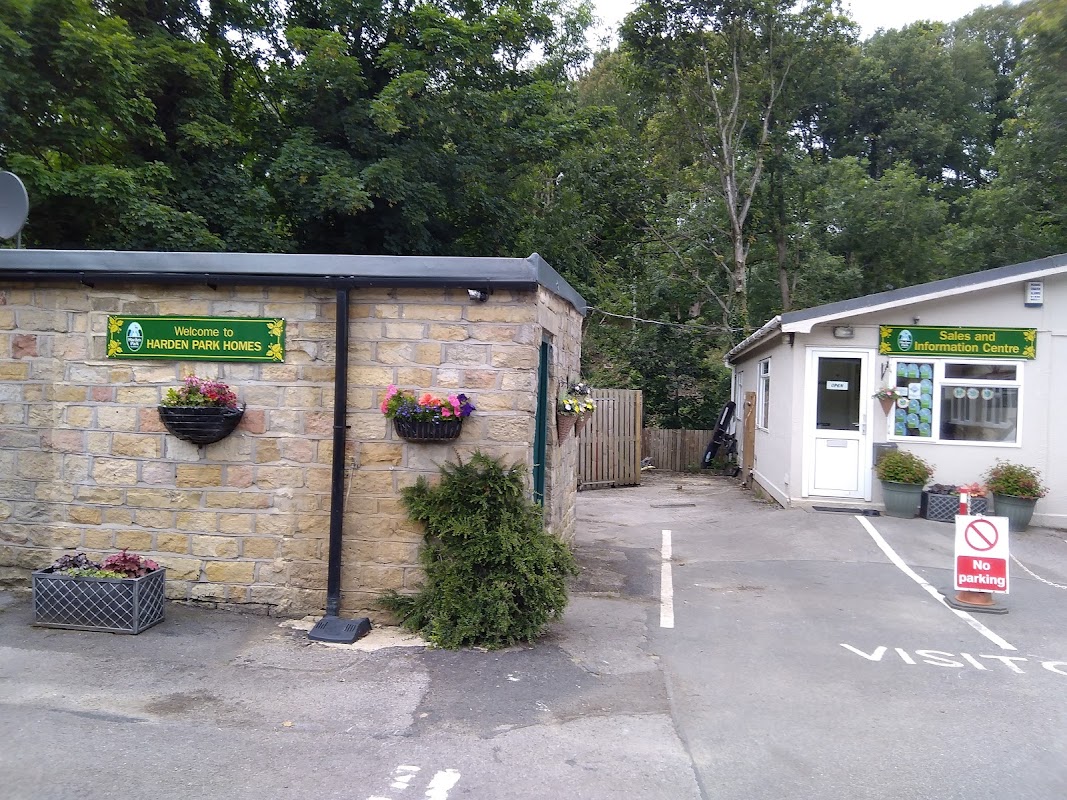
Harden Park Homes
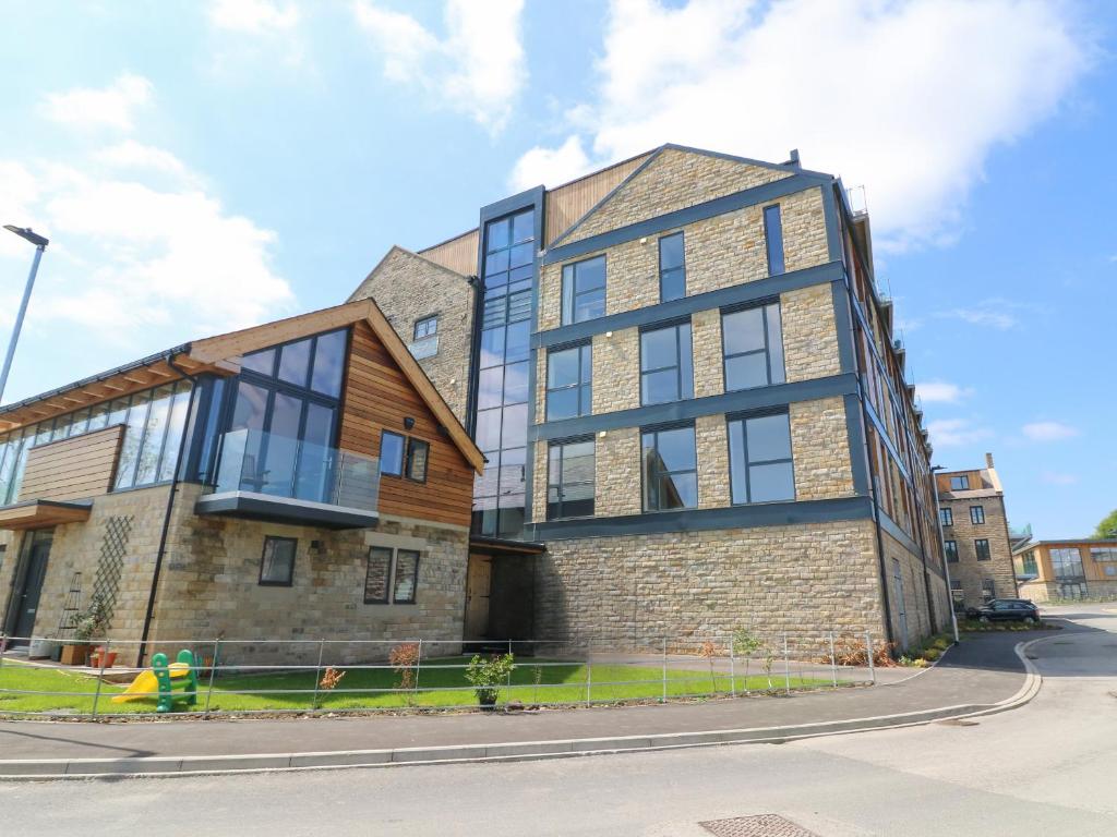
Harden Park Homes offers convenient parking for visitors exploring the scenic village of Harden in Bingley. Located on Goit Stock Lane, this facility provides easy access to nearby attractions and accommodations. Ideal for tourists seeking a hassle-free parking experience.
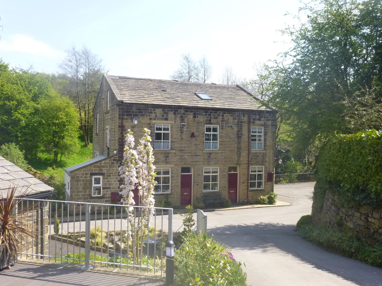
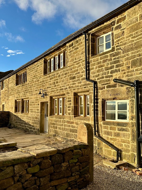
Moorlands Farm Holidays
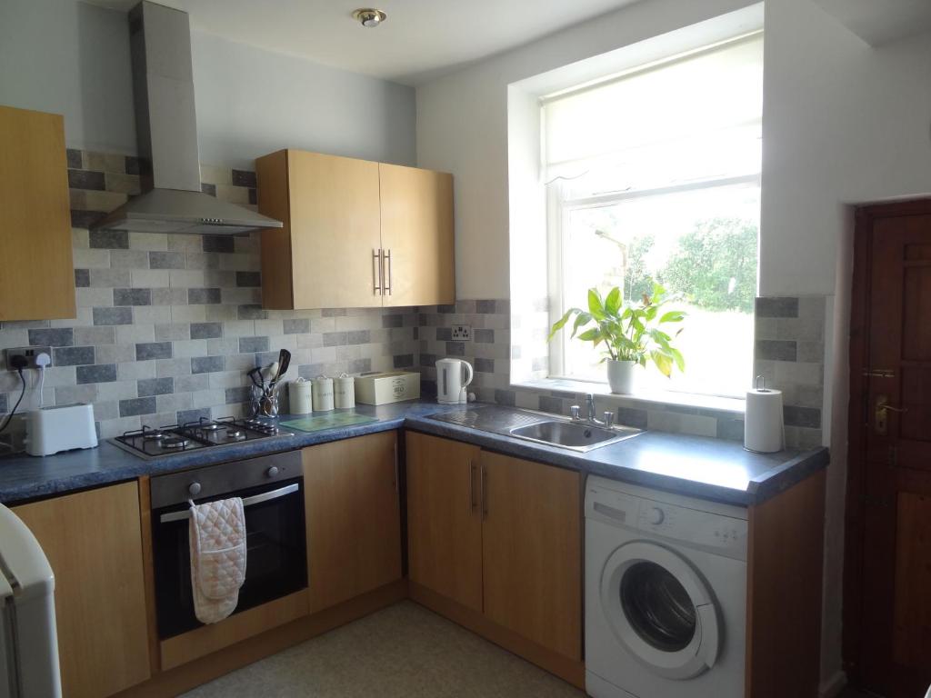
Moorlands Farm Holidays offers a serene getaway in East Morton, surrounded by stunning views and spacious, well-equipped accommodations. While the exact parking details are unclear, visitors can expect standard pay-and-display options typical of the area. Enjoy a peaceful retreat with easy access to the beautiful Yorkshire countryside.
Things to Do in Harden
Private Woodland Walkies
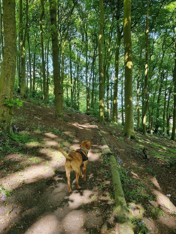
Private Woodland Walkies in Harden offers a delightful escape for dog lovers and their furry companions. Nestled in the picturesque South Pennines, this secure woodland area provides ample space for dogs to explore and play off-leash, with comfortable seating areas for visitors to relax and enjoy the natural surroundings. It's a perfect spot for a peaceful day out in nature.
St Ives Estate
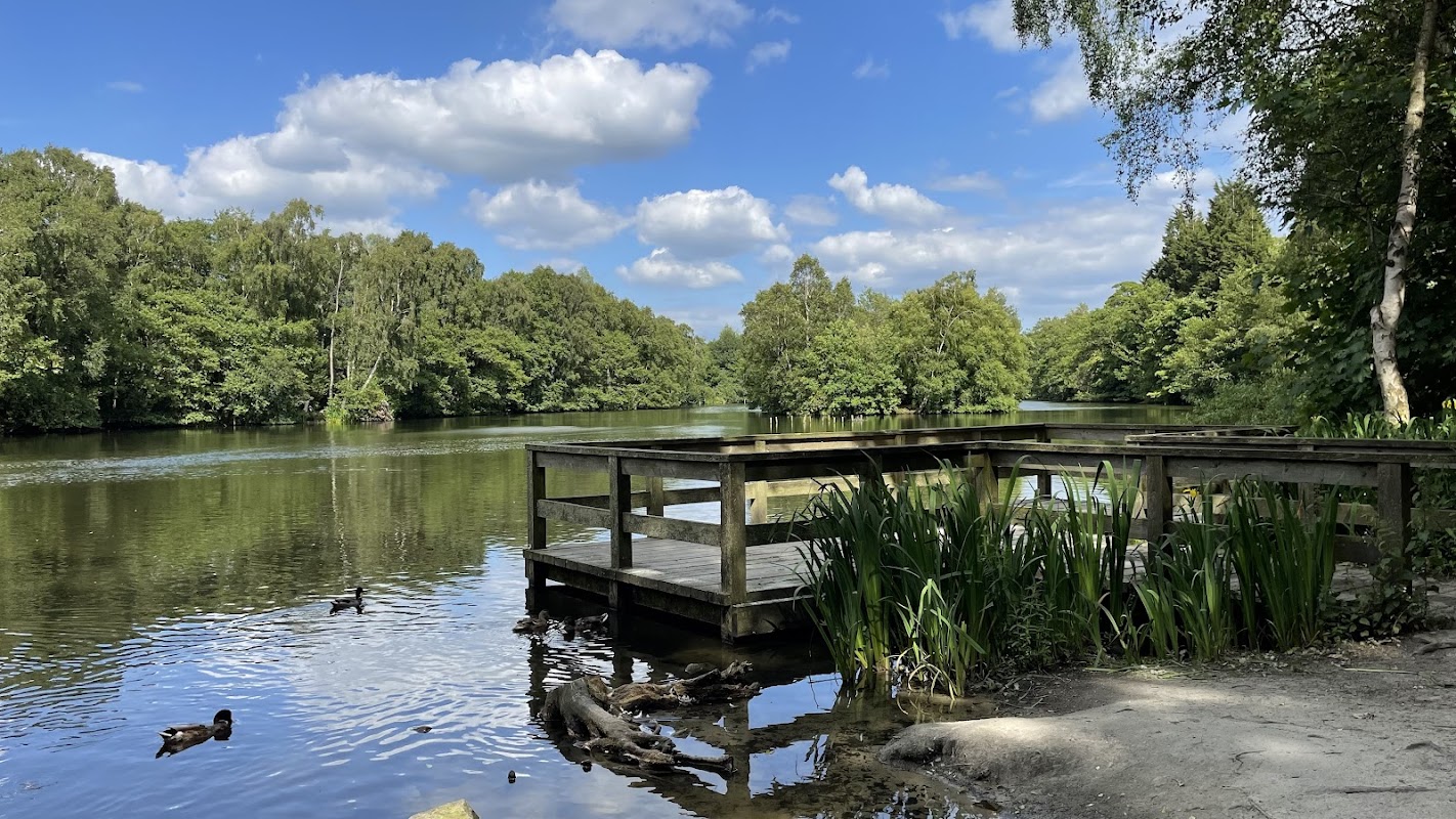
St Ives Estate in Harden, Bingley, offers a delightful escape into nature with its expansive 500-acre park. Visitors can enjoy scenic walks around a picturesque lake, explore wooded trails, and take advantage of children's play areas. Convenient parking options are available for a small fee, making it an accessible destination for families and nature enthusiasts alike.
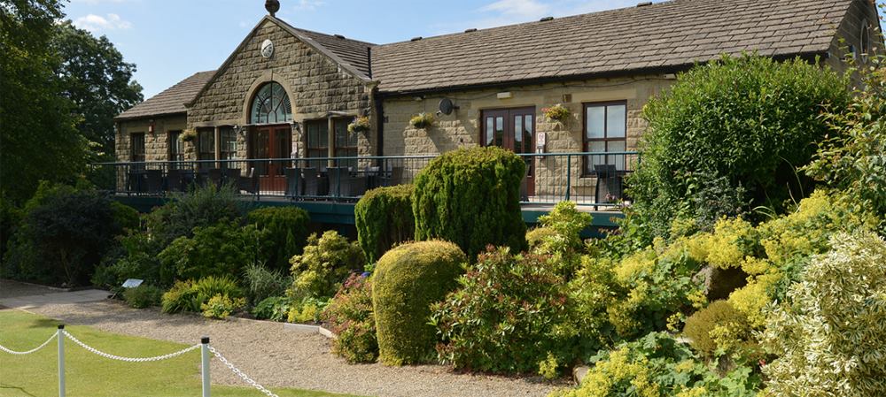
Food & Drink
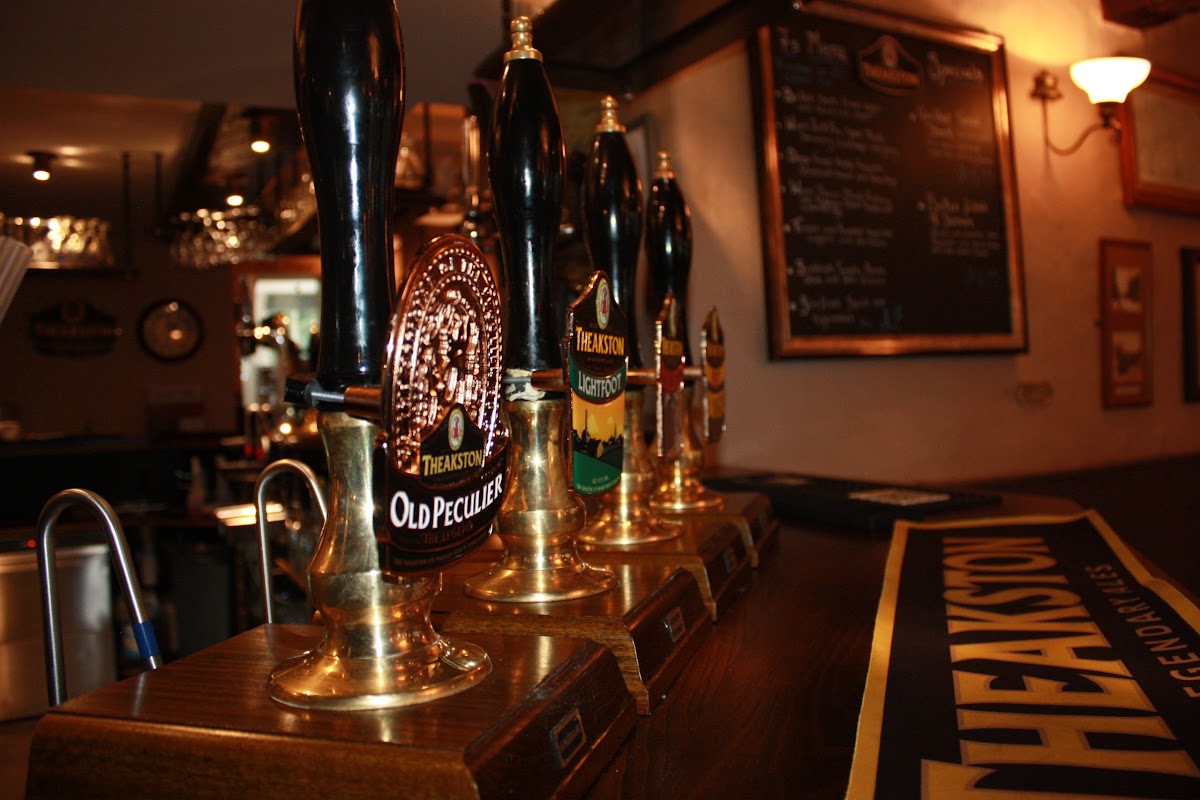
The Malt Shovel
Located in the charming village of Harden, The Malt Shovel offers a cozy pub experience with a great selection of well-kept beers and tasty classic dishes. It's a popular spot for both dining and entertainment, making it a perfect stop for tourists exploring the Yorkshire area. The pub's welcoming atmosphere ensures a pleasant visit any day of the week.

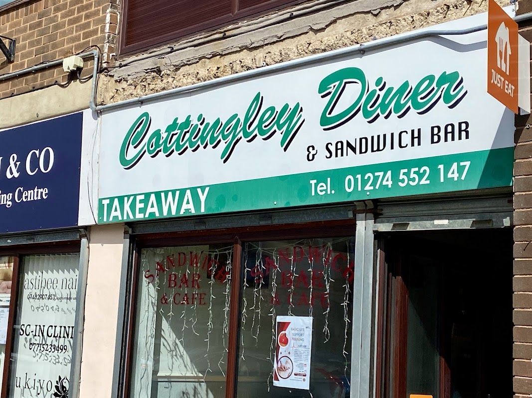
Cottingley Diner
Discover Cottingley Diner in Bingley, a local favourite serving up classic comfort food and hearty home-style meals with friendly service.

Interactive Map
View accommodation, attractions, restaurants, and events on the map
Geographic Facts
This village is geographically within the following regions:
- Population
- 1,900
- Postcode
- BD16
- Administrative area
- Bradford
- Dialing code
- 01535
Data sourced from Wikidata and verified public records
Upcoming Events in Harden
View All Events in Harden →



Walkshire in Harden
More Walks in Harden →
Walk: Cullingworth Circular
A lovely walk around the Cullingworth landscape, with some impressive rises and falls to make the heart pump and seeing a reservoir and an old railway viaduct on the way. Located halfway between Bradford and Haworth. The Route Start Point: Hallas Lane, off Cullingworth Rd, Cullingworth, Bradford BD13 5BG Finish Point: Hallas Lane, off Cullingworth Rd, Cullingworth, Bradford BD13 5BG Distance: 6 Miles GPX Route Map walkshirecullingworthcircular-1Download Walk Description From your parking spot at the top of Hallas Lane, walk down this unmade road away from Cullingworth Road, so the houses are on your left. As Greenside Lane branches off to the left, continue down Hallas Lane, which is veering off the right. Carry on past the farm cottages on the left and into the wooded area to cross over Hallas Beck and then turn left. Continue in Little Ridge Wood keeping the beck on your left and following the clear main path into Goitstock Wood. The path turns sharp right and then sharp left, to roughly follow the edge of the wood. Follow this around to the right to eventually come out on Harden Lane. Turn left and walk inside the garden centre car park for a short while, until you see a footpath on the other side of the road, opposite the car entrance to the car park. Cross over the road, and take the footpath over the stile. Cross over Wilsden Beck into the wood, and turn right to take the clear path through the wood. As you emerge from the wood, signs point to the left for the Millennium Way. Ignore these and carry on straight along the boundary of the fields to reach a track. Turn left and follow the access road for the farm, turning left on the bridleway as you enter a wood, and emerge onto Smithy Lane. Turn left and follow the road down to Main Street. Turn left again and then right down Chapel Row. Follow this to turn right onto Tan House Lane, and follow this until you run out of road. Continue on the footpath, called Nab Lane and it eventually brings you out onto Bents Lane. Turn right onto Bents Lane and then follow it around until there’s a hidden footpath on the left immediately after the last house. Take this, squeezing through the wall, and follow the boundary down to the wood. Turn left at the wood and follow the boundary until the path enters the wood, and then exits it straight onto the B6144 Lane Side. Be careful here as the footpath drops straight onto the road - there is no pavement. Looking to your right across the road, you will see the footpath sign ahead, and carefully cross to drop down onto this footpath. Follow roughly the line of Hewenden Beck to eventually walk between two walls underneath the Hewenden Viaduct. On the other side, the path clearly veers to the left, then following the boundary on your left, veers to the right of a house to pick up an access road. Turn left then look out for a public footpath sign on the right. Tale this path over the reservoir’s embankment and then turn right along another access road. When this road runs out, continue on the path. Take the next public footpath on the right, and after going between the trees, follow the boundary of the fields with the reservoir on your right. Eventually the path leads to an access road for a farm - pass through the farm to reach Cullingworth Road. Turn left to return to where you parked.

Walk: Great Northern Railway Trail
Enjoy this walk along part of the old disused Bradford to Keighley railway line. This section covers the two stunning viaducts at Cullingworth and Thornton the best examples of repurposed railways routes in the region. The Route what3words for start point: ///decent.repair.talked Start Point: Thornton Finish Point: Cullingworth Distance: 6 Miles GPX Route Map great-northern-railway-trail-1Download Walk Description Opened in the 1860's the route from Bradford to Keighley was known as the Switchback or Alpine route due to the large number of viaducts and tunnels that had to be build to navigate the geography of this part of Bradford. This walk starts in Queensbury where you can see face to face the Queensbury tunnel, at just over a mile long, which is currently at the heart of a campaign to reopen as a walking route to Halifax. Follow the fairly flat route towards Thornton and over it's magnificent viaduct. The views down the valley to the city are simply beautiful. Look out for the school at the viaduct's end, this is the site of the old station. Follow the signs to Wellshead tunnel where you'll need to follow the route over the fields above the tunnels towards Denholme. Once there you'll pick up the route again towards Cullingworth to the even more stupendous Heweden viaduct. This 14 span structure is even more impressive due to it's curve and views over the reservoir and Bronte moorland. The route continues for another mile into the lovely village of Cullingworth where you find a nice café at the village hall for refuelling and a caffeine pick me up. This walk can be split up into separate sections in Thornton and Cullingworth which are accessible friendly.

Walk: Beckfoot and back along the River Aire in Bingley
The walk starts at Bingley train station. Parking is available next to it in the Wellington Street pay and display car park (BD16 2NB). The Route what3words for start point: ///coasting.crafted.stubble Start Point: Bingley Finish Point: Beckfoot Distance: 1.55 miles GPX Route Map dnaire-beckfoot-and-back-in-bingleyDownload Walk Description To reach the river head up to Main Street and across the Town Square. You will find the route down to the river at the rear of the Queen Street car park. Both the flight of steps and sloping path lead down to the river. At the bottom turn left. Visitors for many generations will have enjoyed this promenade along the river to Myrtle Park. This should take you about ten minutes. Along this stretch of river you may spot wildlife like herons and cormorants. Myrtle Park was purchased in 1908 for the enjoyment of local town people. The Bingley Show has been held here since 1920. In its heyday it was one of the largest one day agricultural shows in the North attracting over 25,000 visitors. As you pass the first bridge, notice the inscription on the bridge. The Festival of Britain gave Britons a feeling of recovery and progress after the Second World War. It aimed to promote better-quality design as British towns and cities were rebuilt. The Festival also celebrated the centenary of the 1851 Great Exhibition. Imagine the excitement of the children of Myrtle Park Primary school as they watched this bridge being craned into place.

Walk: Bingley Three and Five Rise Locks
Take in the most spectacular feature of the Leeds & Liverpool Canal on this short walk. The Route Start / Finish Point: Bingley Three Staircase Locks, Hill Side Rd, Bingley BD16 2SF Distance: 0.8 Miles GPX Route Map bingley35Download Walk Description Bingley 3 Rise Locks on Leeds & Liverpool Canal is an engineering marvel with three locks and an industrial backdrop. Start the walk from here and then head up the towpath which has a rural feel on the edge of the town. As you follow the towpath one of the seven wonders of the waterways will become visible – Bingley 5 Rise Locks. Bingley 5 Rise is a set of staircase locks where the lock chambers are joined together rather than being separated by pounds or pools of water. The famous 5 Rise Locks are much wider, deeper and steeper than any other British flight of staircase locks. The Locks were designed by John Longbotham of Halifax, who was the Leeds & Liverpool Canal’s first engineer. They have changed little since they were first built in 1774. Once you reach the locks take in the views, and if you are lucky, you might be able to watch a boat travel through the flight which can take up to 45 minutes. You can call into the café for some refreshment before heading back to the start.