
Discover Hemingbrough
Hemingbrough is a village located in North Yorkshire, governed by North Yorkshire Council (formerly Selby). With a population of around 2,000, it lies within the YO8 postcode area. Known for its historic parish church, Hemingbrough offers insights into local heritage and serves as a peaceful residential community in the region.
Explore the map below to discover accommodation, attractions, restaurants, and live events across Hemingbrough. Scroll down to browse featured listings and plan your perfect visit.
Property in Hemingbrough
Explore 2 properties in Hemingbrough — homes and commercial listings for sale and to rent. Start with detached houses or semi-detached houses.
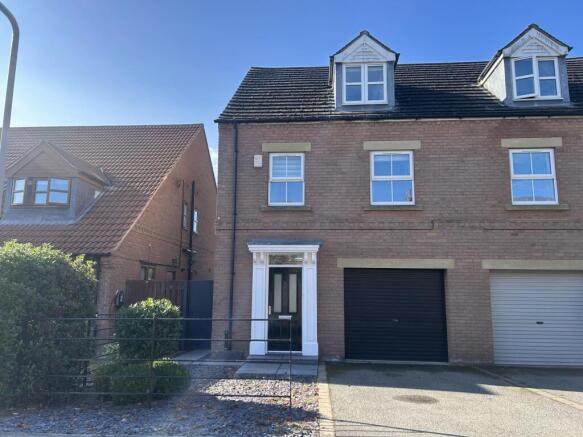
3 Bed Semi-Detached House - Orchard End, Hemingbrough
£1,250 pcm
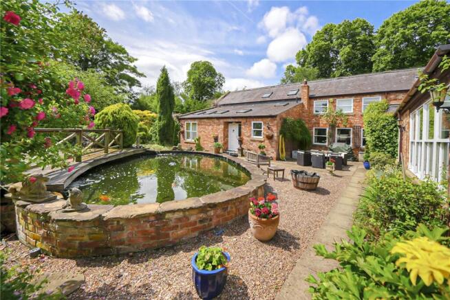
5 Bed Detached House - School Road, Hemingbrough
£750,000
Browse by type
Stay in Hemingbrough
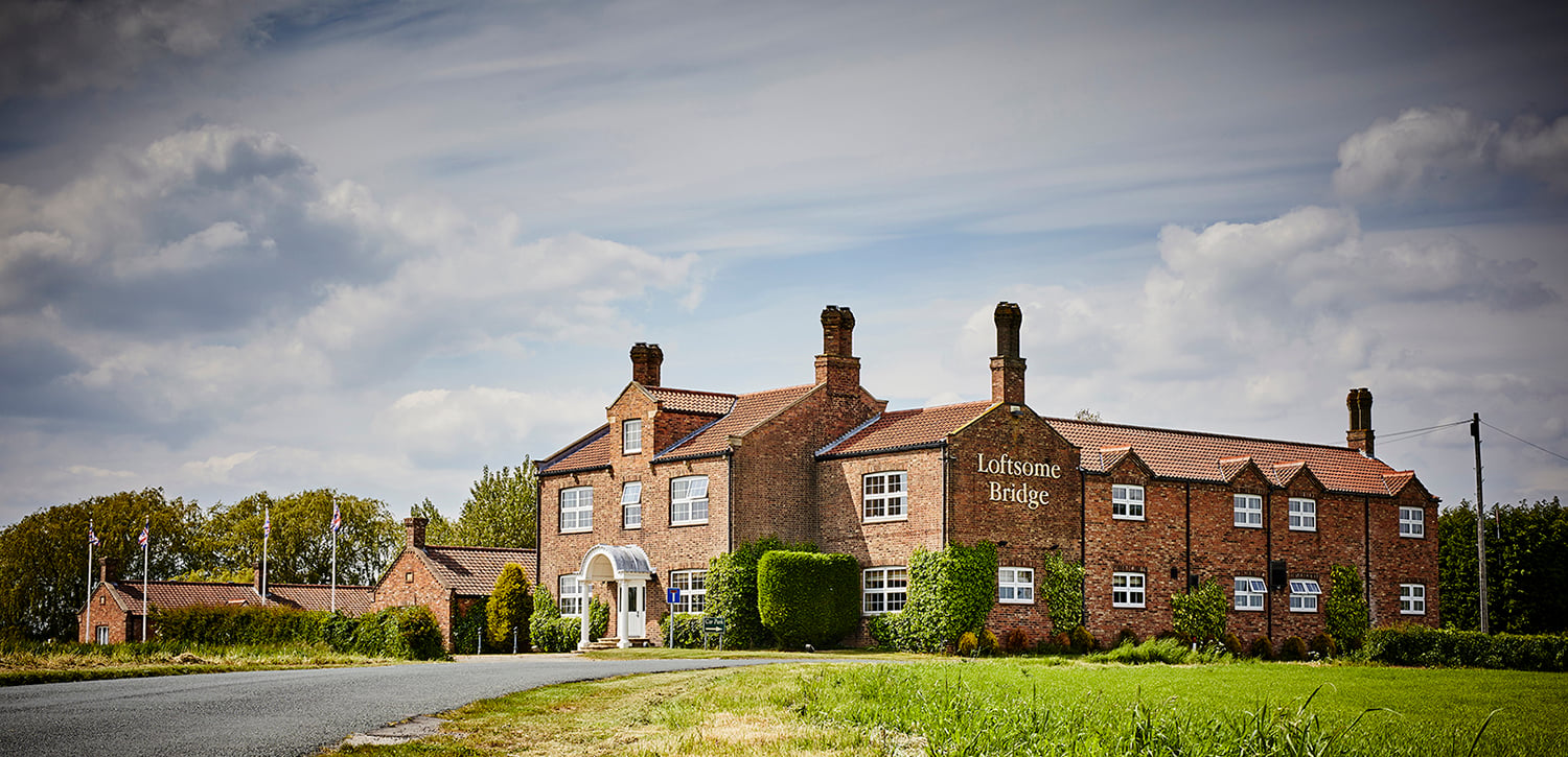
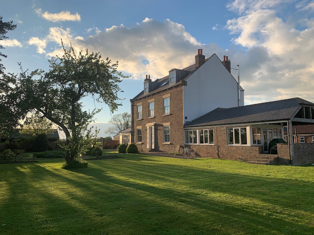
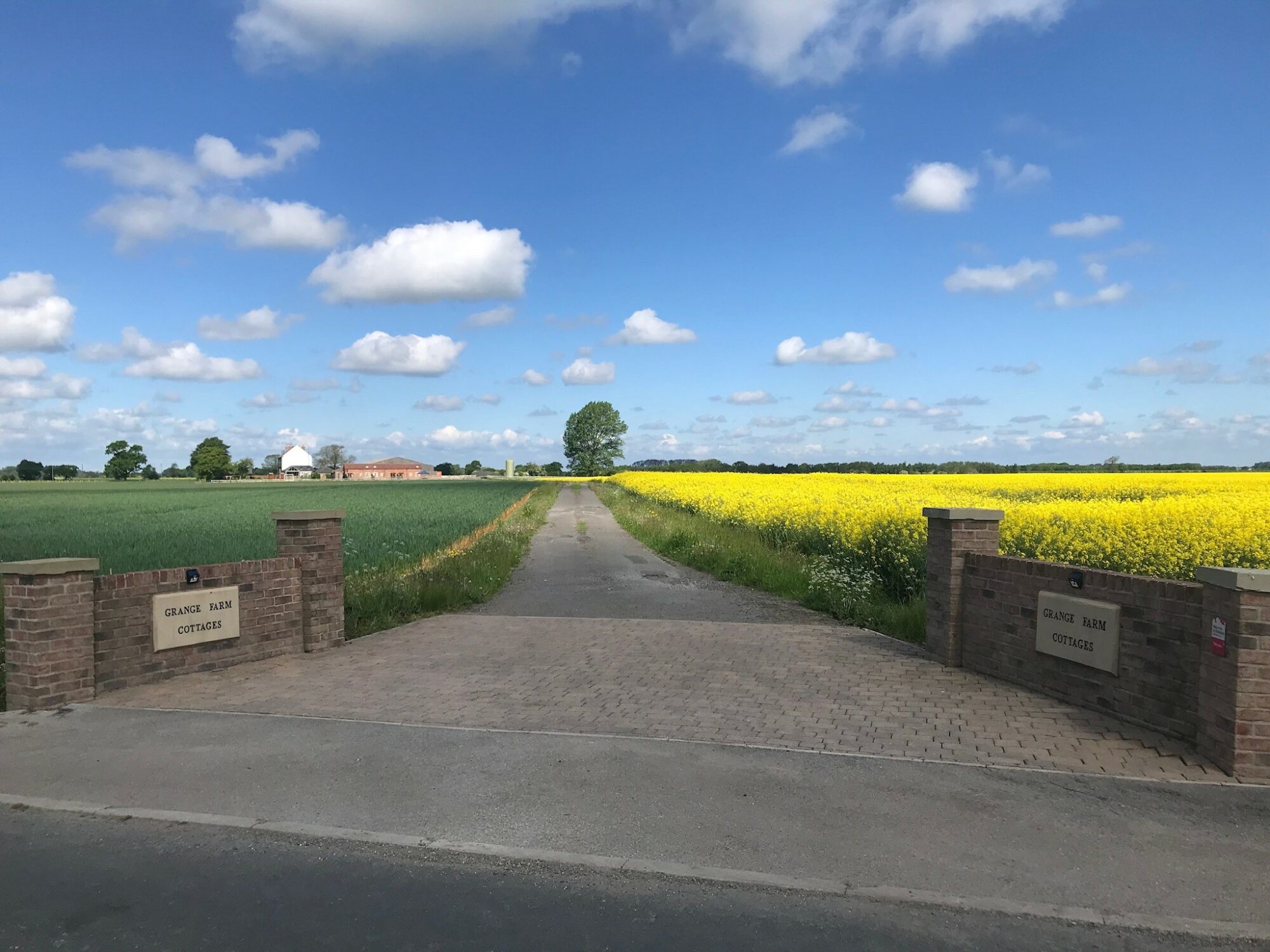
Wressle Grange - Luxury Yorkshire Cottage accommodation for group and family holidays
Wressle Grange offers a serene escape in the Yorkshire countryside, perfect for family gatherings or group holidays. Guests can enjoy the tranquility of the farmstay while being just a short drive from York and local attractions. The facility provides ample free parking, ensuring a hassle-free experience for visitors traveling by car.
Cliffe Country Lodges
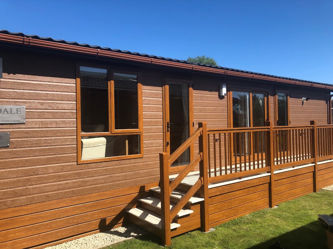
Cliffe Country Lodges offers a serene getaway in Cliffe Common, Selby, with convenient parking options for visitors. Enjoy the welcoming atmosphere and excellent facilities, including a club house and clean amenities, making it a perfect spot for a relaxing stay in the Yorkshire countryside.
Cliffe Meadows Holiday Park
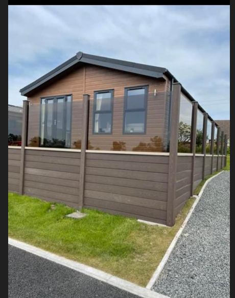
Cliffe Meadows Holiday Park offers a welcoming and community-driven environment for tourists looking to explore the Yorkshire countryside. Located in Cliffe Common, just 11 miles from York, this park provides spacious pitches and modern amenities like a newly built shower room, ensuring a comfortable stay amidst picturesque village views.
Browse by Type
Things to Do in Hemingbrough

Cliffe Tennis Club
Located in the charming village of Cliffe, Selby, the Cliffe Tennis Club offers convenient parking for visitors looking to enjoy the local sports facilities. While the payment options are not specified, it is likely a pay-and-display system, typical for such venues. Visitors can enjoy a clean and welcoming environment, perfect for a day out with family or friends.
Drax Village Hall
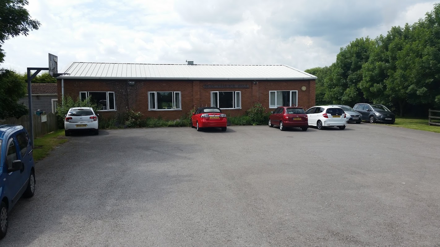
Drax Village Hall offers a convenient parking area for approximately 25 cars, making it an ideal spot for visitors attending events or gatherings at the hall. Located in the charming village of Drax, North Yorkshire, this facility provides easy access to the hall's amenities, including a kitchen and outdoor area.
Food & Drink
Crown Inn
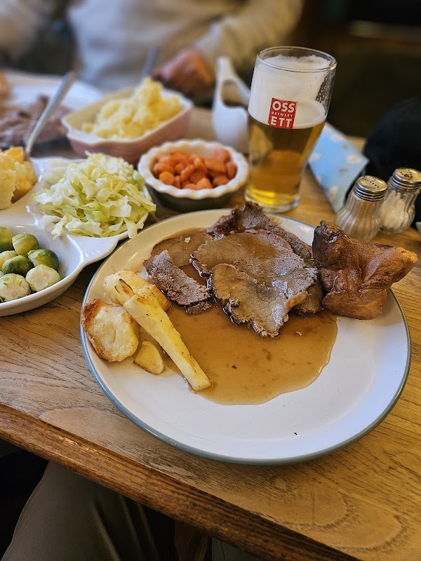
Located in the charming village of Hemingbrough, the Crown Inn offers a welcoming atmosphere with its traditional pub setting. While parking specifics aren't detailed, visitors can enjoy the convenience of pay-and-display parking options nearby, making it easy to explore the local area and enjoy the pub's delightful offerings.
New Inn
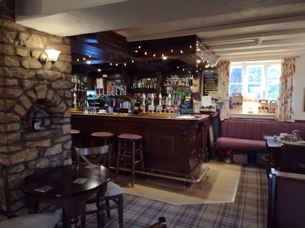
The New Inn in Hemingbrough offers convenient parking for visitors exploring this charming village near Selby. While primarily a pub, it provides a welcoming atmosphere with friendly staff and allows guests to enjoy local food deliveries. Ideal for tourists seeking a cozy spot to relax after a day of sightseeing.
Browse by Type

Interactive Map
View accommodation, attractions, restaurants, and events on the map
Geographic Facts
This village is geographically within the following regions:
- Population
- 2,020
- Postcode
- YO8
- Administrative area
- North Yorkshire Council (formerly Selby)
Data sourced from Wikidata and verified public records
Upcoming Events in Hemingbrough
View All Events in Hemingbrough →

Latest news from Hemingbrough
All Local News →
From Local Farm to National Shelves: How a North Yorkshire Rapeseed Oil Business Wins Listing with Garden Centre Chain
A North Yorkshire farm business, Charlie & Ivy's, has landed a major nationwide listing! Find their award-winning rapeseed oil bread dippers in Dobbies now.
Walkshire in Hemingbrough
More Walks in Hemingbrough →
Walk: Barmby on the Marsh
A lovely trek alongside the Ouse and the Derwent rivers, with a little bit of countryside and villages to explore along the way. Drax and the River Ouse The Route what3words for start point: ///late.waltzes.calculating Start Point: Barmby Tidal Barrage Car Park, High Street, Barmby on the Marsh, DN14 7HX Finish Point: DN14 7HX Distance: 8 Miles GPX Route Map walkshirebarmbyonthemarshDownload Walk Description With the car park behind you, turn right and go through the bollards and turn left after the fence on the left to double back on yourself, so the car park is on your left side. Follow the Trans Pennine Trail for a long while alongside the River Ouse. When you get near the wind farm on the opposite bank, look out for a public footpath on the left. Follow this path all the way until it turns into Landing Lane. Turn left down Back Lane, then right down South Lane, and then left down Main Street. Carry on down Main Street and turn right down the bridleway of Marsh Lane, just before the National Speed Limit signs on Main Street. The track turns to the left, then, after the first field on the right, turn right and continue to the far end of the field. Then turn left, follow the drain Old Derwent, on the right. Go through the gap in the hedgerow and follow the line of the boundary on the right as it snakes to the right and then slightly to the left. Cross over the lane and find the stile, which is slightly to your left ahead, then turn left and follow the River Derwent all the way back to the swing bridge, where you turn left and then left again to get back to the car park where you parked.

Walk: Wressle and Breighton
An easy walk pretty much on the flat around the East Yorkshire villages of Wressle and Breighton, and the countryside and fields between the two. Bubwith has the nearest facilities and the route takes walkers within view of the Breighton Aerodrome. The Route what3words for start point: ///camcorder.spoken.flamingo Start Point: Wressle railway station, Station Road Finish Point: Wressle railway station Distance: 6 Miles GPX Route Map walkshirewressleandbreightonDownload Walk Description Leave the station and turn right onto Station Road, keeping to the pavement on the left side. Walk through the village until you see a track off through an open field on the right. Walk along the track, even though the right of way technically crosses the field. Follow the track as it double bends and walk until a crossroads of tracks between some trees on the right. Carry straight on, and turn left, then right to follow the edge of the field. At the junction with the next field, carry straight on along the hedgerow and follow the track to meet Clay Lane in Breighton. Turn left and follow Clay Lane until the white building on the right - Ivy House Farm. Turn right and walk beyond the driveway onto the public footpath into the fields and towards the wood. Keep the wood on the left, then duck between the line of trees and the hedgerow for the next field, and follow the hedgerow until you meet more trees. Turn left, then immediately right, to be on a track for a very short time, before walking alongside a wood on the right. Go between the wood and a hedgerow on the left. Follow the path around the end of the wood to keep the trees on the right now. Keep to the edge of the field to meet a track, and turn right. Turn left at the corner along a hedgerow on the right, then turn right through a gap in the hedge. Aim for the track you can see in the far corner to the left of the isolated trees. Turn left on the track, and follow it. As it turns hard left, carry straight on to the end of the field. Look for the solo tree, and head towards the farm buildings in the distance. Join the farm track and don’t leave it, following it all the way to the T-junction with a public road. Turn right into Wressle, keeping left at the Y junction, then turning left to return to the railway station.

Walk: Hemingbrough and Newhay Circular
Just down the road from Selby, this walk is a short jaunt around Hemingbrough and alongside the River Ouse, starting and finishing at the village’s wonderful church. The Route What3Words reference: ///tiredness.structure.stores Start Point: St Mary the Virgin, Hemingbrough, Selby YO8 6QE Finish Point: St Mary the Virgin, Hemingbrough, Selby YO8 6QE Distance: 2 Miles GPX Route Map walkshirehemmingbroughandnewhaycircularDownload Walk Description Start by facing the St Mary the Virgin church in Hemingbrough, and turn left to walk along the way down Main Street. At the junction, turn right down Landing Lane and follow it as it turns to the right and then to the left. Take care here as the pavement ends and you’ll be walking on the narrow road, although the road is seldom busy. Follow it as it turns to the right and eventually comes to a stop. Turn right and follow the public footpath signs, and walk along the east bank of the River Ouse. Keep walking past a plant works on the right and after the river has turned to the left, watch out for a footpath on the right. Turn right down the footpath, and follow it to reach Newhay Lane. Turn right, and walk along the road, until it bends sharply to the left. Just afterwards, turn right on the hard crossing over the ditch, and then veer right to follow the footpath back to the church. Cross over the beck using the footbridge and then follow the path through the cemetery, past the church, back to Main Street.