
Discover Hepworth
Hepworth is a village located in West Yorkshire, falling under the governance of Kirklees Council. Situated within the HD9 postcode area, this small community is part of the Holme Valley. Known for its scenic surroundings, Hepworth offers insights into traditional Yorkshire village life, attracting visitors interested in rural landscapes and local heritage.
Explore the map below to discover accommodation, attractions, restaurants, and live events across Hepworth. Scroll down to browse featured listings and plan your perfect visit.
Stay in Hepworth
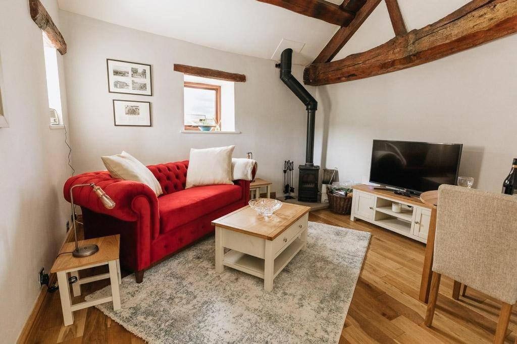
GABLE COTTAGE // LUXURIOUS NEWLY RENOVATED 1 BED ACCOMMODATION CLOSE TO THE PEAK DISTRICT, YORKSHIRE
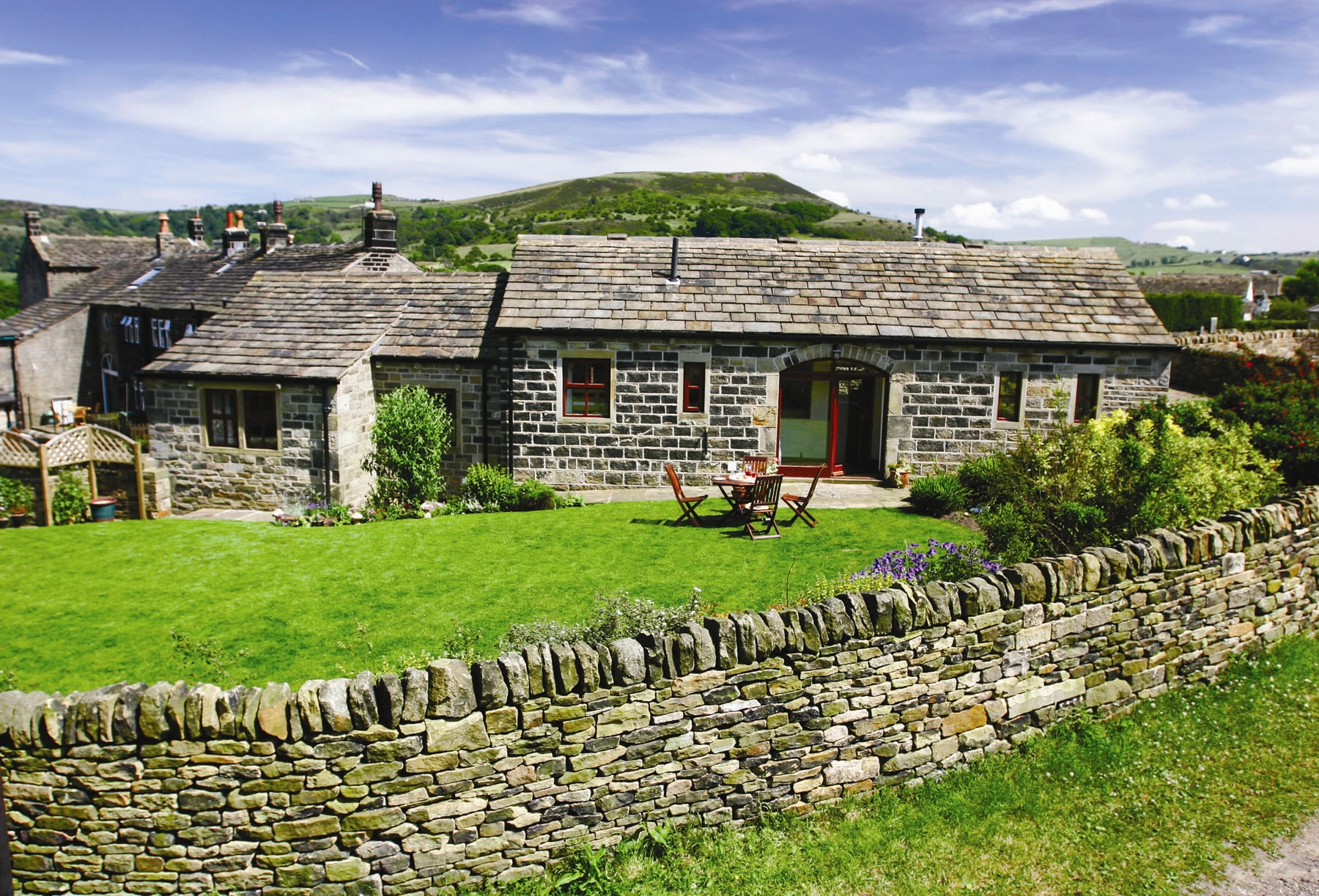
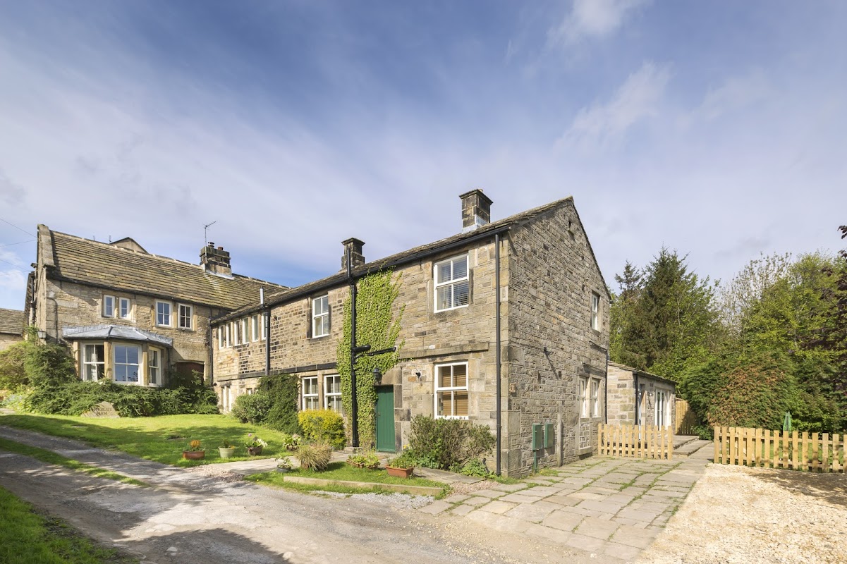
Uppergate Farm
Uppergate Farm in Hepworth offers a charming stay in a 17th-century farmhouse, complete with modern amenities like a pool, steam room, and sauna. While enjoying the tranquil countryside, guests can explore the on-site farm shop and relax in the hot tub. Convenient parking options are available, ensuring a hassle-free visit to this picturesque location.
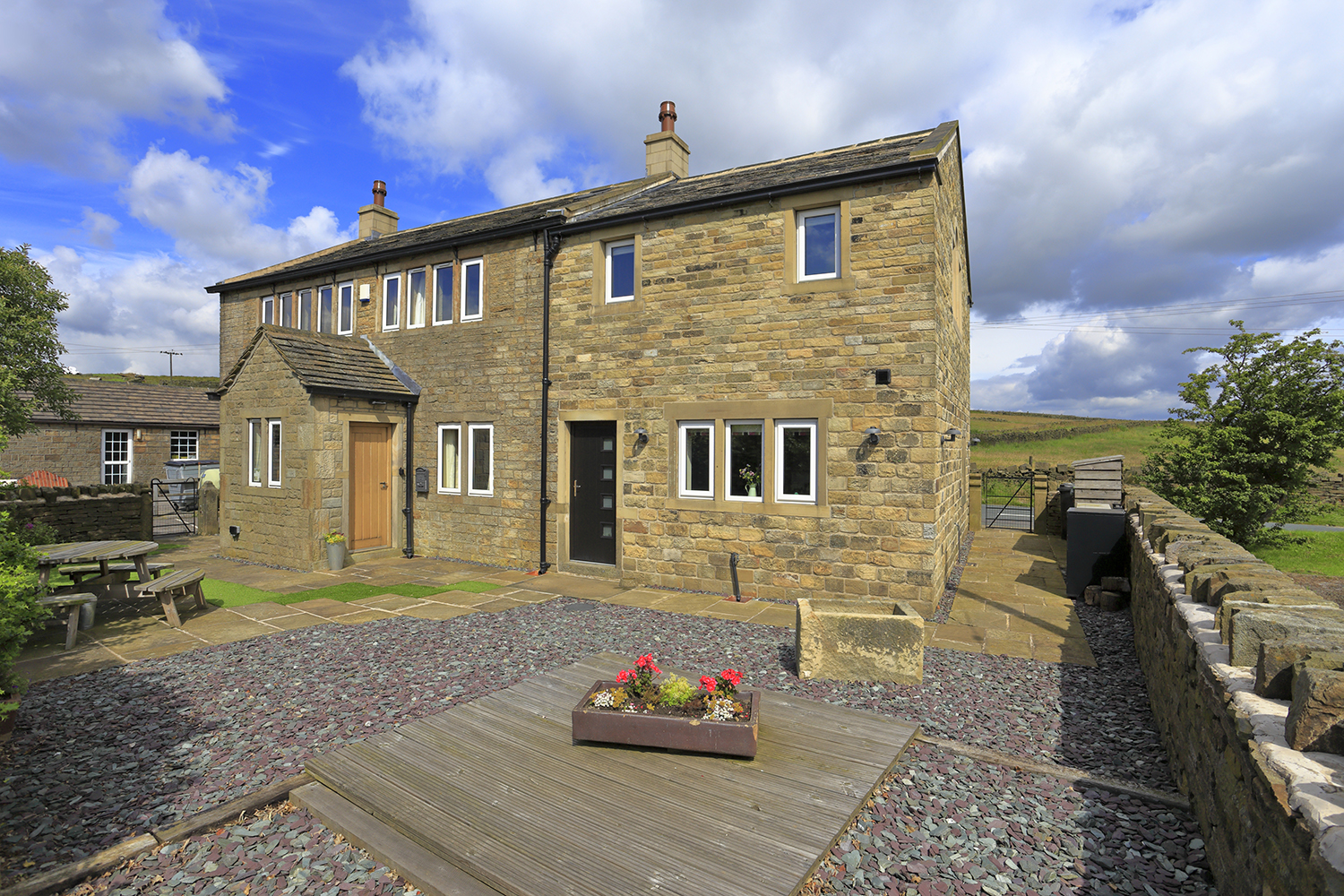
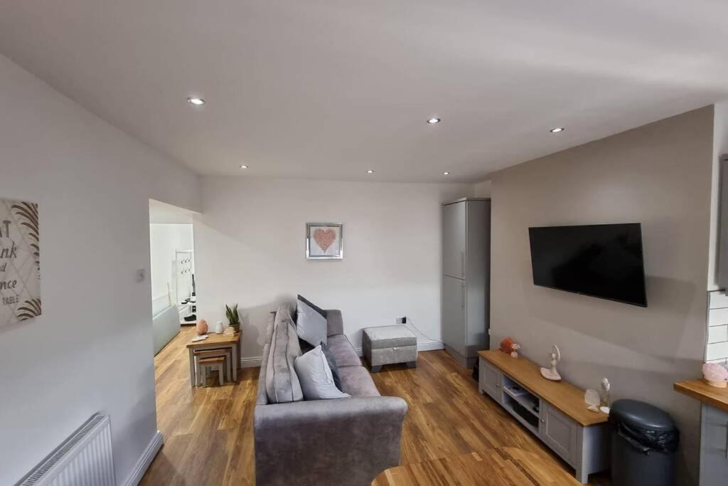
Crystal Cottage - 5 min walk from Holmfirth Town Centre

Browse by Type
Things to Do in Hepworth
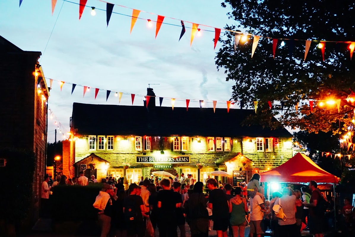
Hepworth Village Hall
Hepworth Village Hall, located in the charming village of Hepworth near Holmfirth, offers convenient parking for visitors attending its diverse range of events. While the payment options are not specified, the parking is likely pay-and-display, typical for village venues. Enjoy easy access to local attractions and community activities in this picturesque setting.
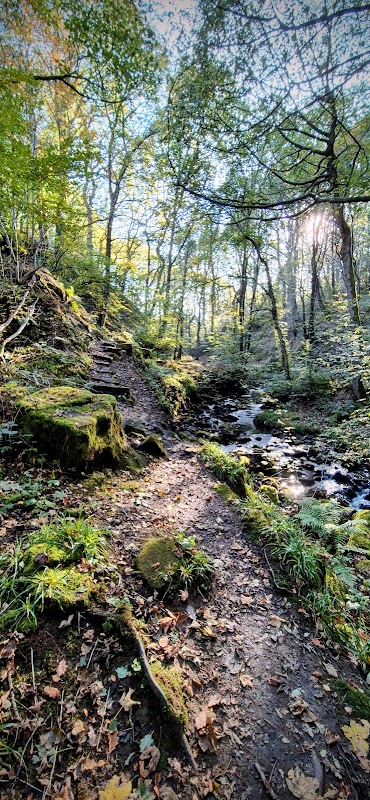
Morton Wood
Discover the magical and challenging trails of Morton Wood, a rewarding walk through the Holme Valley's beautiful landscapes.
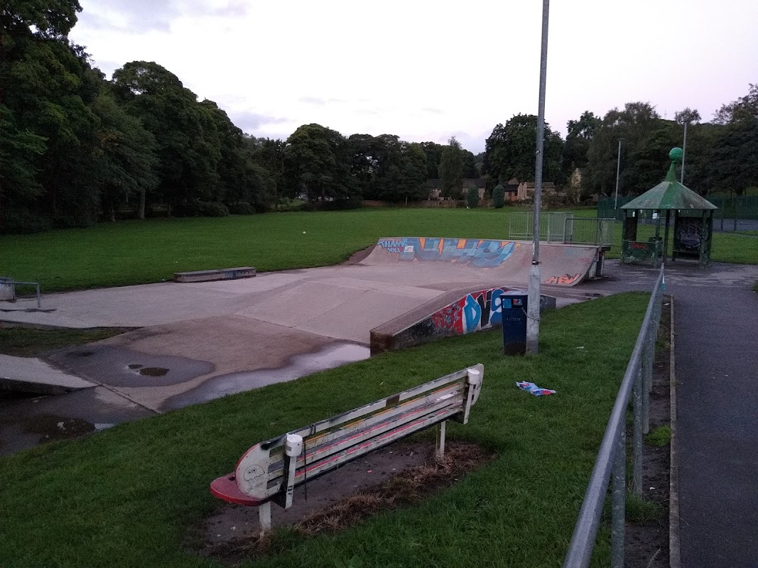
Holmfirth Skate Park
Holmfirth Skate Park in Hepworth offers a delightful experience for families and skate enthusiasts. With free parking available, it's just a short 15-minute walk from central Holmfirth, making it a convenient spot for a day out. The park features a skate area and play equipment suitable for all ages, ensuring fun for everyone.
Food & Drink
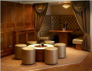
The Hepworth Restaurant
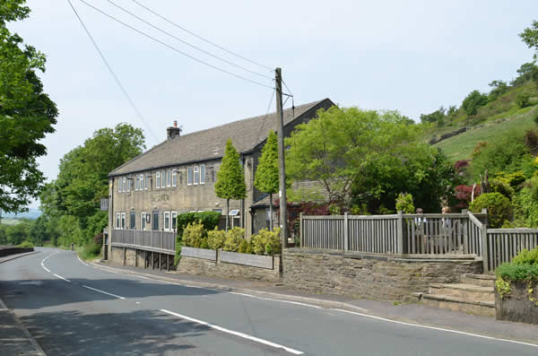
The Spiced Pear, Hepworth


Interactive Map
View accommodation, attractions, restaurants, and events on the map
Geographic Facts
This village is geographically within the following regions:
- Postcode
- HD9
- Administrative area
- Holme Valley
Data sourced from Wikidata and verified public records
Upcoming Events in Hepworth
View All Events in Hepworth →


Walkshire in Hepworth
More Walks in Hepworth →
Walk: Winscar Reservoir
An adventurous trek around a reservoir in a little known Yorkshire part of the Peak District. Good walking boots and navigation skills are required for this route over Open Access land. The Route what3words for start point: ///costumes.juniors.flaunting Start Point: Dunford Bridge Car Park/Windle Edge, Sheffield S36 4TF Finish Point: Dunford Bridge Car Park Distance: 6 Miles GPX Route Map walkshirewinscarreservoirDownload Walk Description From the car park, head towards the main road, cross, and turn left along Windle Edge. Usually, when there is no pavement, you should walk on the side of the road towards traffic for safety - so when the pavement stops, stay on this side of the road, but keep to the grass verge as much as you can. At the first tarmaced junction, turn right and follow it to the car park of the Pennine Sailing Club. At the gate, turn left to walk up the embankment. This is now Open Access land, so you’re able to walk anywhere here. Turn right and follow the line of the shoreline of the reservoir, keeping it on the right hand side. At the feeder streams, carefully ford through at less deep points. You should find recognisable paths from previous walkers to help guide you. Turn the corner around the feeder channel and when you see a wood in front of you, head to the left of it to find a path. Now follow this to meet an access road on a tight bend. Veer to the right and then turn right down the hairpin bend, following the track to a yard. Once in the yard, look for a clear path on the ground to a gap in the boundary wall to the left, Go through the gap, turning right to another gap in the boundary. Now follow the path on the ground straight ahead until you reach a T-junction of paths. Turn right to walk above and along Harden Reservoir. Follow the path as it drops down and turns left on an actress road across the dam, to reach Dunford Road. Turn right here, and walk down the road - with lovely views of Winscar Reservoir on the right. At the Yorkshire Water sign, turn right toward the Winscar car park. At the end of the car park, continue down the access road and at the junction where the dam is to the right, head left over the crest of the hill following the path on the ground. This takes you to the junction of Dunford Road and Windell Edge. Turn right and then right again to walk along Windell Edge back to the car park.

Walk: Penistone to Dunford Bridge
An easy walk along the former Great Central Railway in South Yorkshire, with moorland views, trees and wildflowers. The Route what3words for start point: ///decanter.quits.boots Start Point: Penistone Finish Point: Dunford Bridge Distance: 5.7 Miles GPX Route Map penistonetodunfordbridgeDownload Walk Description This old railway line on the Trans Pennine Trail provides a relaxed walk for all the family. Start at the thriving market town of Penistone and follow the former Great Central railway out past the skate park through rolling moorland and tree-lined tracks to the remote hamlet of Dunford Bridge. Take a break and admire the views and local wildlife from one of the benches and look out for historic clues of the path's past. Younger explorers will be thrilled to find a magic wood just after Hazlehead Bridge station, as well as exquisitely painted fairy houses nestling in the trees.

Walk: Scout Dike, Royd Moor and Ingbirchworth Reservoirs
Visit three lovely reservoirs on the outskirts of Penistone for some peace, quiet and mindfulness time. Perfect for letting the world go by as you stroll. The Route what3words for start point: ///canal.acid.frizz Start Point: Scout Dike Reservoir Finish Point: Ingbirchworth Distance: 6 Miles GPX Route Map scout-dike-royd-moor-and-ingbirchworth-reservoirsDownload Walk Description There is a car park at Scout Dike which is where this walk starts, make sure you use the designated spaces. The walk starts with Scout Dike to your right but soon you will spot Royd Moor higher up and to the left. The walk intersects both water bodies as it follows the path towards Ingbirchworth reservoir. If you're looking to refuel why not take a detour on the way back via the village of Ingbirchworth for some refreshments before heading back.

Walk: The Four Reservoir Walk
Not one, not two but FOUR reservoirs of Yateholme, Riding Wood, Ramsden & Brownhill, on this easy walk near Holmbridge which appears to be a lot longer than it actually is… The Route what3words for start point: ///flight.tissue.electric Start / Finish Point: Yorkshire Water free car park on Brownhill Lane, HD9 2QW Distance: 3 Miles GPX Route Map walkshirethefourreservoirwalkDownload Walk Description From Ramsden Reservoir Car Park, turn right on the road and after a short while, turn left at the large blue Yorkshire Water sign for Ramsden. Follow this path as it turns sharp right to cross the reservoir embankment - looking right to see Brownhill Reservoir - and then sharp right again to walk away from the reservoir. Soon, at the waymarked post signed "Kirklees Way Public Footpath" carry straight on along the boundary and cross over the stile. Head right to walk up the slight incline of Netherley, and then turn right to follow the boundary to the corner. Turn left and follow the clear path to Holme Wood Lane. Turn left and follow the road around to the right, and then around to the left to walk along the north edge of Yateholme Reservoir. Continue walking on the road and you reach the north embankment of Riding Wood Reservoir. Follow the road as it turns left but turn right almost immediately to walk up the walled track opposite the house. Keep to the left of the junctions and head through the wood. As you emerge, ignore the road to the right and continue straight on along the footpath, then taking a left turn to walk along another walled track. This track meets a road, and here turn left to return to the car park.