
Discover Hightown
Welcome to Hightown, a town located in Yorkshire. Explore local things to do, find places to stay, and discover beautiful walks in the surrounding area.
Explore the map below to discover accommodation, attractions, restaurants, and live events across Hightown. Scroll down to browse featured listings and plan your perfect visit.
Stay in Hightown

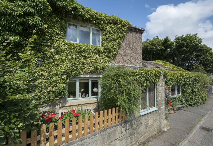
Ploughcroft Cottage
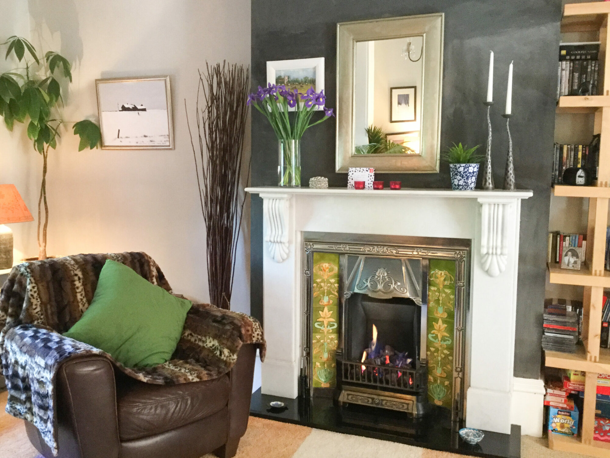
Butterfly Cottage
Castle View Guest House
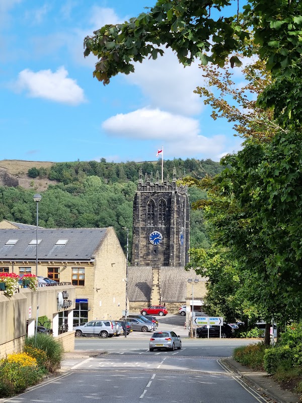
Causeway House
Causeway House offers comfortable serviced apartments in central Halifax, providing a convenient base for exploring the town.
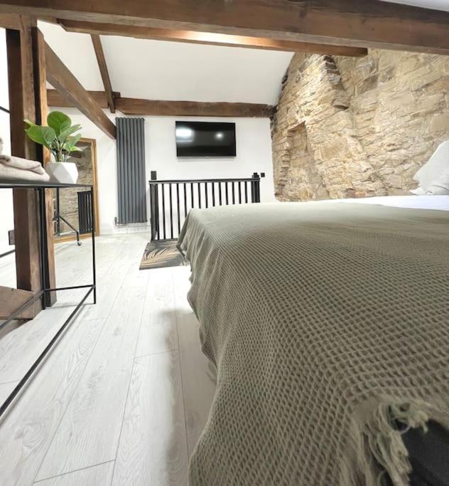
Farsley Cottage
Farsley Cottage provides lodging in Pudsey, offering a cottage-style stay in the West Yorkshire area.
Things to Do in Hightown
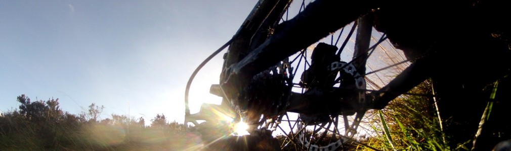
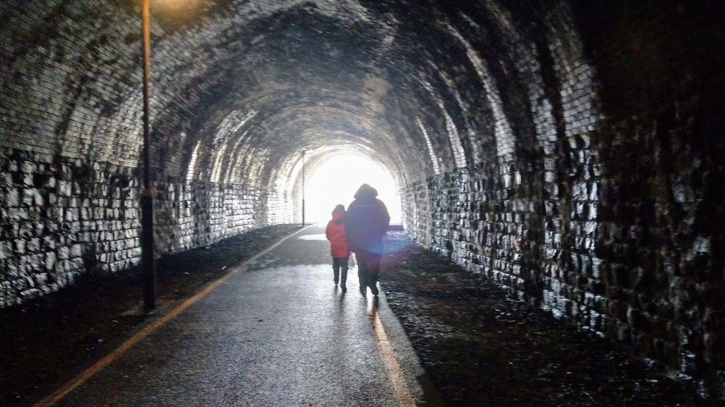
Earlsheaton Tunnel
Explore the Earlsheaton Tunnel, a hidden historical gem in Dewsbury offering a unique and cool walk perfect for all ages.
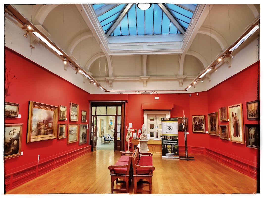
SMITH ART GALLERY • BRIGHOUSE
Discover a diverse collection of local and regional art, frequently rotating, at this welcoming gallery in Brighouse, free to enter.
Browse by Type
Food & Drink
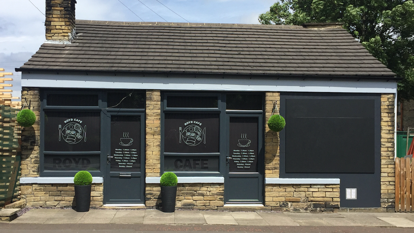
Royd Cafe
Royd Cafe in Brighouse offers a welcoming spot for a satisfying breakfast and hot drinks, praised for its friendly service.
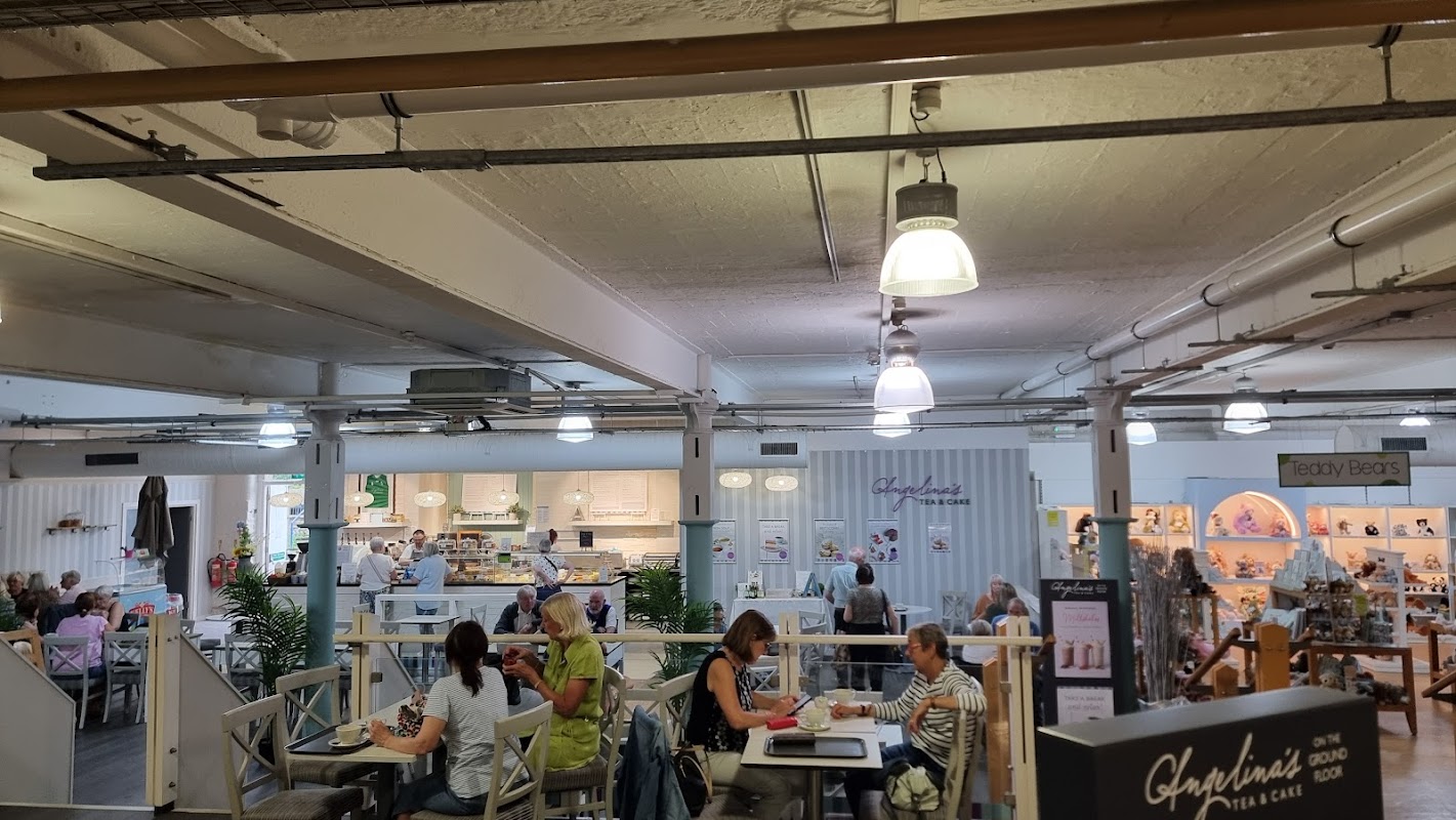
Angelina's Tea & Cake
Nestled within Batley's Mill Outlet, Angelina's Tea & Cake offers a delightful spot for delicious treats and friendly service.

Interactive Map
View accommodation, attractions, restaurants, and events on the map
Geographic Facts
This town is geographically within the following regions:
Upcoming Events in Hightown
View All Events in Hightown →





Walkshire in Hightown
More Walks in Hightown →
Walk: Brontë Way
The Brontë Way is a scenic and literary trail that winds through the rugged landscapes of West Yorkshire and into Lancashire, offering a journey into the world of the Brontë sisters—Charlotte, Emily, and Anne. The trail is a tribute to the Brontës' enduring legacy, inviting walkers to immerse themselves in the history, culture, and evocative landscapes that shaped the authors and their stories. Route What3Words: ///valley.stem.vibrates Distance: 44 miles (71 km) Start: Oakwell Hall, Nova Ln, Birstall, Batley WF17 9LF Finish Location: Gawthorpe Hall, Burnley Rd, Padiham, Burnley BB12 8UA OS Walking Map & GPX Download Our OS map below shows the full route. Under the map, you can find a GPX file download for your navigational device. bronte-way-routeDownload Walk Description As you journey along this trail, you'll encounter various locations, each with a unique connection to the Brontës. Below is an overview of the key points along the route, highlighting their significance to the Brontë legacy. Oakwell Hall, Nova Ln, Birstall, Batley WF17 9LF Oakwell Hall is a striking Elizabethan manor house that served as the inspiration for "Fieldhead" in Charlotte Brontë's novel Shirley. The hall is steeped in history, with its well-preserved interiors offering a glimpse into the kind of environment that Charlotte imagined for her characters. The trail then goes through Birstall, a quaint village near Oakwell Hall. Gomersal Gomersal is where Charlotte Brontë’s close friend, Mary Taylor, lived at the Red House. The house and its surroundings played a significant role in Charlotte's life and were also immortalized in Shirley as "Briarmains." The Brontë Way then skirts past Cleckheaton. Cleckheaton was a bustling mill town during the Brontës' time. Liversedge Liversedge is where the Brontës’ friend, Ellen Nussey, lived. The town is mentioned in letters between Charlotte and Ellen, revealing the close-knit connections between the Brontë sisters and their circle of friends. The Brontë Way then passes through Hightown. Thornhills Thornhills was once the home of the Taylor family, friends of the Brontës. The area captures the essence of the moorland settings often depicted in their novels, providing a backdrop to the Brontë sisters' stories. The walk then goes through Bailiff Bridge, Shelf, Westwood Park and Clayton. Thornton Thornton holds significant importance as the birthplace of the Brontë sisters. The village is where Patrick and Maria Brontë raised their family before moving to Haworth. The Brontë birthplace, now a museum, is a must-visit site for anyone on the trail. The route then passes through Keelham, past Thornton Moor Reservoir, Leeming Reservoir and Oxenhope. Haworth Haworth is the heart of Brontë country, where the Brontë Parsonage Museum is located. This village was the Brontës' home from 1820 and is where they wrote most of their works. Walking through Haworth, visitors can explore the church, the parsonage, and the surrounding moors, all integral to the Brontë story. The route then passes through Penistone Hall Country Park and past Lower Laithe Reservoir. Brontë Waterfall The Brontë Waterfall is a significant landmark on the Brontë Way, often visited by the sisters themselves. The picturesque waterfall, located near Haworth, is a place of natural beauty that continues to draw Brontë enthusiasts. Ponden Reservoir Ponden Reservoir, near Ponden Hall, is believed to have inspired locations in Wuthering Heights. Ponden Hall itself is thought to be the model for "Thrushcross Grange" or "Wuthering Heights" in Emily's novel. The route then passes Watersheddles Reservoir - located on the border between Yorkshire and Lancashire - through Thursden, Lee Green Reservoir, Hurst Well Bridge, Lennox Street Stepping Stones - a unique crossing point along the trail, then past Holbeck Park and Wood End. Gawthorpe Hall, Burnley Rd, Padiham, Burnley BB12 8UA Gawthorpe Hall is the final significant stop on the Brontë Way. Charlotte Brontë was a frequent visitor here, and the hall remains largely unchanged from her time. The stunning architecture and surrounding gardens provide a fitting conclusion to the Brontë Way, connecting the literary heritage of the Brontës with the grand historical homes of their time. This journey through the Brontë Way not only allows you to walk in the footsteps of the Brontë sisters but also to experience first-hand the landscapes that inspired some of the greatest works of English literature. Each stop on the trail offers a unique glimpse into the world that shaped the Brontës, making it a pilgrimage for both literary enthusiasts and lovers of the great outdoors.

Walk: Calder and Hebble Navigation Canal
Running from Brighouse to Sowerby Bridge this section this is a part river, part canal route that once served the area at the height of the industrial revolution. The Route what3words for start point: ///gravel.assets.live Start Point: Sowerby Bridge Finish Point: Brighouse Distance: 6 Miles GPX Route Map calder-and-hebble-navigation-canalDownload Walk Description This route provides a tranquil repost to the urban centres along it's route. The peaceful nature of this busy walk is it's main attraction as you are transported to a quieter time, compared the to traffic on the streets above. Starting in Sowerby Bridge the route takes you through a the town and then onto some stunning Calder Valley countryside. There is an option to head towards Halifax along the canal to their however this walk continues into Brighouse, another Yorkshire industrial town. Watch out for the various bird and wild life along the canal and make sure you bring your spotting guide!

Walk: Huddersfield Broad Canal
Enjoy this 4 mile stroll on the Huddersfield Broad Canal built as the connecting canal for the long distance Huddersfield Narrow Canal and the Calder and Aire navigation through the town centre. The Route what3words for start point: ///hoot.seats.fried Start Point: Huddersfield Finish Point: Bradley Distance: 4 Miles GPX Route Map huddersfield-broad-canalDownload Walk Description A peaceful and tranquil walk through the industrial heartland of Huddersfield's past. The walk starts in the centre of the town and winds it's way up to Bradley. Make sure you look out for all the former warehouses and canal building as you work your way on the canal. You can't miss the amazing engineering of the Turnbridge lift bridge, it's a marvel of the age! Towards the end of the end of this excursion you'll come to the 18th century Colne bridge another fine example of the period engineering still in use today.

Walk: The Spen Valley Greenway
This fantastic urban walk is along the old Spen Valley railway line that used to link Bradford to London directly, via Wakefield. This was closed in the 1960's as part of the Beeching cuts but has been revitalised by being appropriated as walk and cycle route. The Route spen-valley-greenwayDownload what3words for start point: ///congratulations.beams.junior Start Point: Low Moor Finish Point: Dewsbury Distance: 8 Miles GPX Route Map Walk Description Starting at Low Moor Train station in the outskirts of Bradford you follow the route of the railway line. This is a paved all the way and an easy walk for all. Enjoy the heritage of the bygone railway age as you pass through several tunnels and sights of former stations. Keep an eye out for the signs of where they used to be sighted by spotting old platforms, stairways and the odd lantern enroute. The route runs parallel to the M606 and actually crossed the M62 on an old railway bridge, there aren't many walks that cut over a major motorway! Follow the route and enjoy the art installations, including sheep and many call backs to the old usage of this stroll. Follow this through Cleckheaton, Heckmondwike, Liversedge and on towards Dewsbury where at the end of the walk you can join the river walk into the centre of the town.