
Discover Hipperholme
Hipperholme is a village located in the metropolitan borough of Calderdale, West Yorkshire. With a population of approximately 11,000, it falls under the HX3 postcode. This area is historically significant, once part of the woolen industry, and is now known for its proximity to Halifax and its vibrant local community.
Explore the map below to discover accommodation, attractions, restaurants, and live events across Hipperholme. Scroll down to browse featured listings and plan your perfect visit.
Property in Hipperholme
Explore 4 properties in Hipperholme — homes and commercial listings for sale and to rent. Start with high street, detached houses, terraced houses, or shop.

Property to Rent - Maltings Mill Retail Units, Hipperholme
£900 pcm
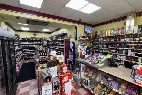
Property for Sale - Off License & Convenience, Hipperholme
£36,950
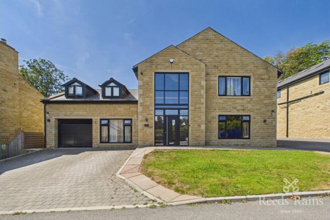
6 Bed Detached House - Lea Gardens, Hipperholme
£900,000
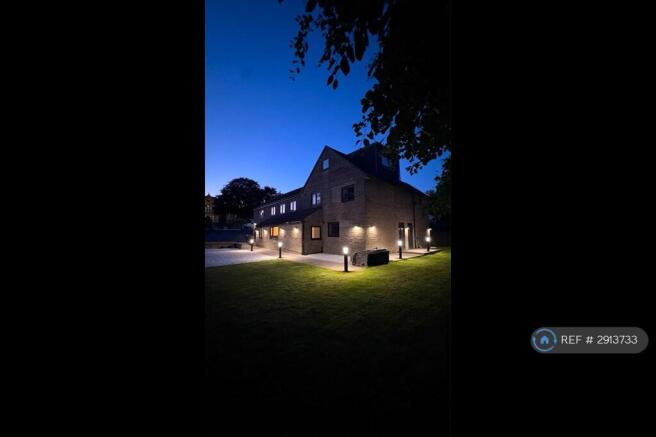
Stay in Hipperholme
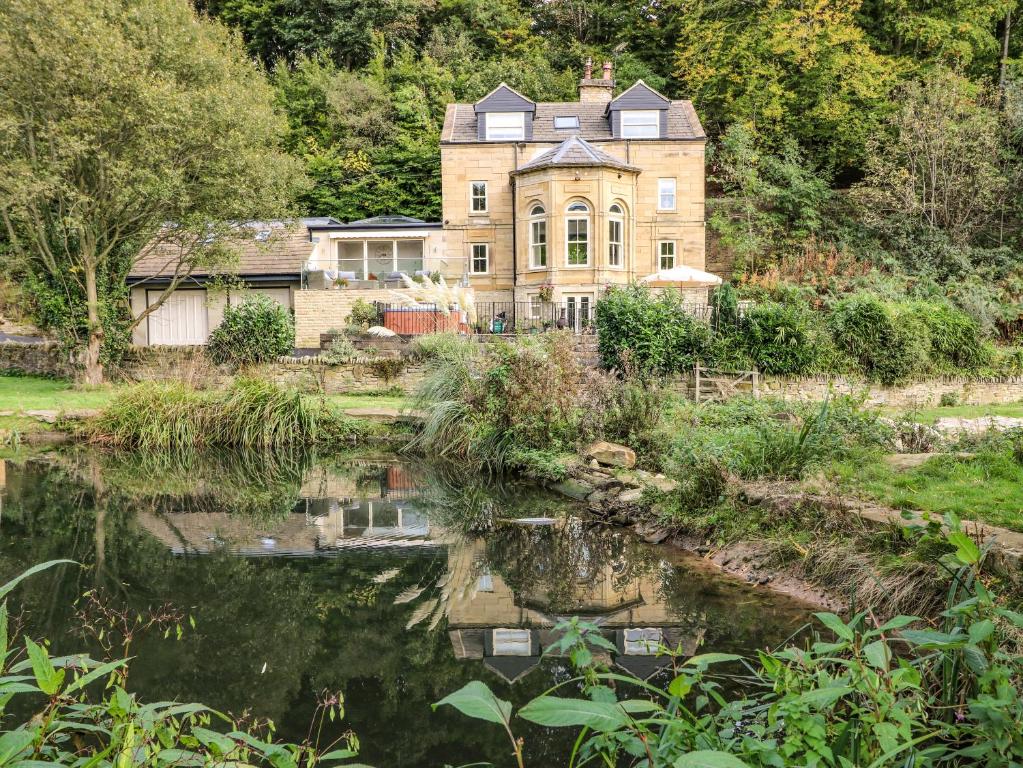
Belvedere Farm
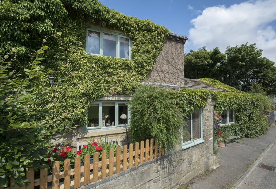
Ploughcroft Cottage
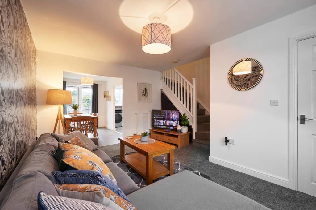
Halifax Gorgeous New Home - 3 bedrooms
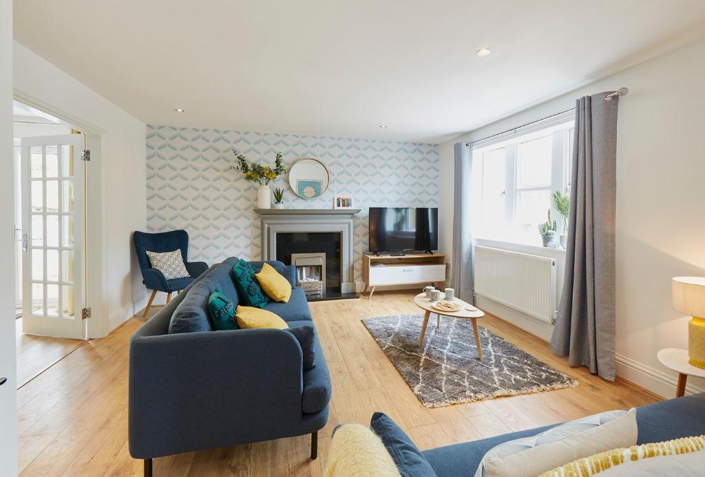
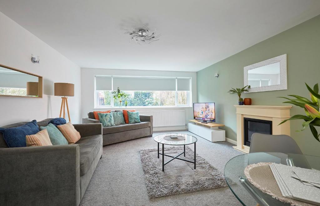
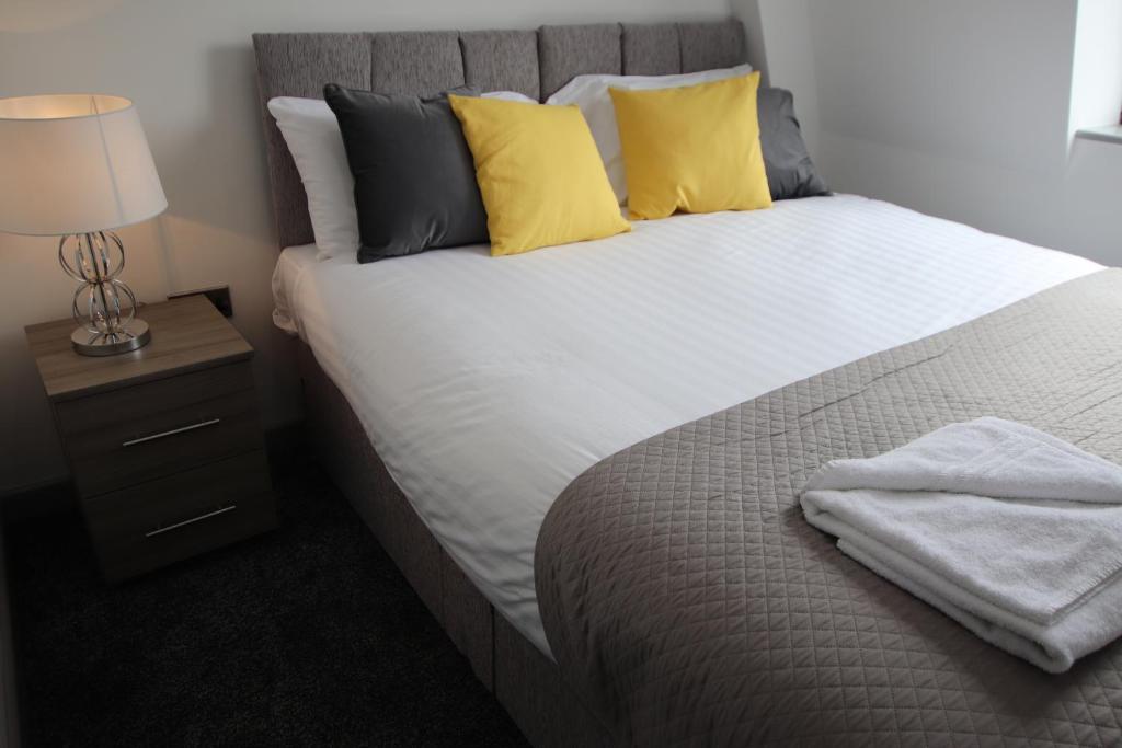
Halifax House, Studio Apartment 213
Things to Do in Hipperholme
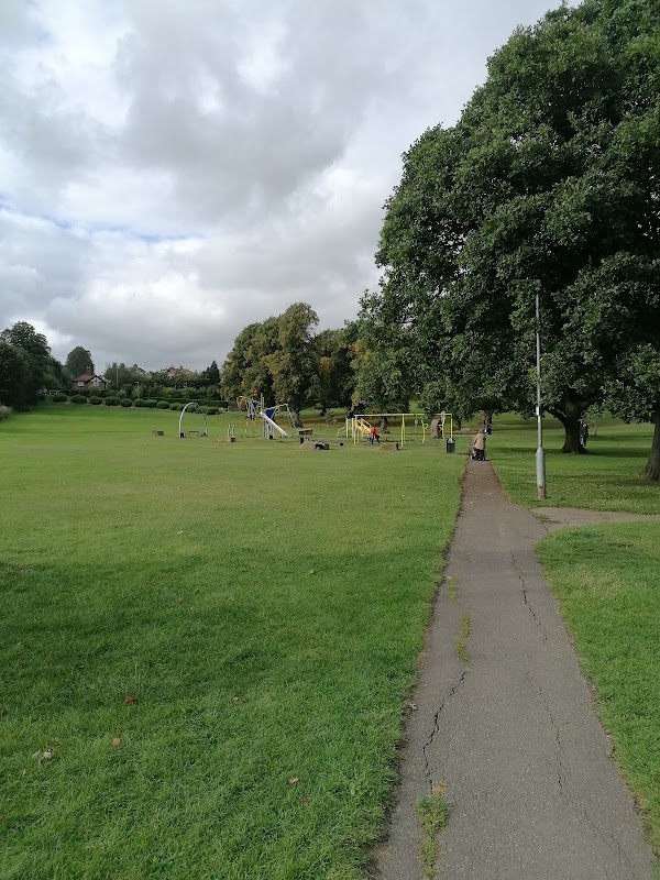
Hipperholme Park
Hipperholme Park offers a delightful escape in Hipperholme, Halifax, with ample space for recreational activities including a football area and children's play equipment. Visitors can enjoy leisurely walks on accessible paths or attend events like craft fairs and dog shows. The park's convenient location makes it a great spot for a family day out.
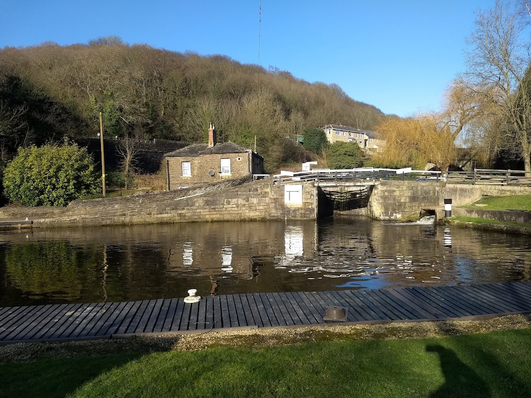
Salterhebble Top Lock
Discover the tranquil beauty of Salterhebble Top Lock, a historic canal landmark in Halifax perfect for peaceful walks and scenic views.
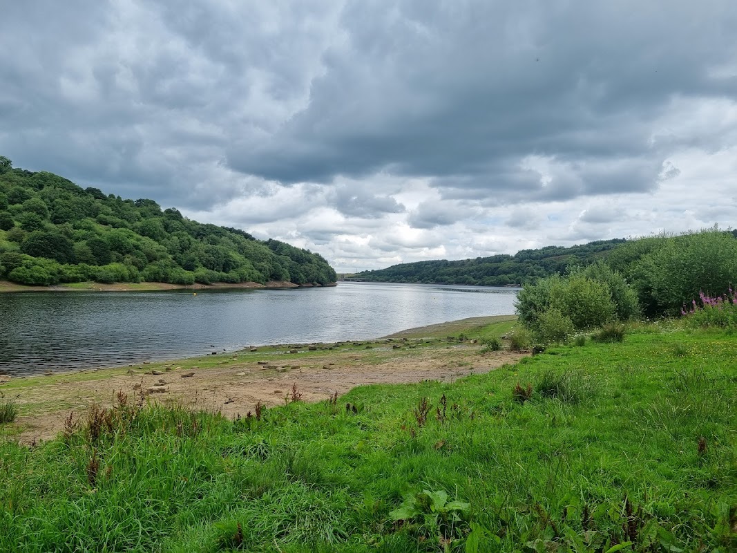
Rydings Park
Discover Rydings Park in Brighouse, a tranquil green space rich in nature, ideal for families and serene walks.
Browse by Type
Food & Drink
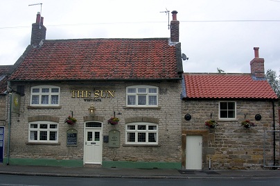

Bubble tea Halifax
Discover Bubble tea Halifax on Market Street, a popular spot serving a vibrant range of delicious bubble teas and snacks in Halifax.

Interactive Map
View accommodation, attractions, restaurants, and events on the map
Geographic Facts
This village is geographically within the following regions:
- Population
- 11,308
- Postcode
- HX3
- Administrative area
- Calderdale
- Dialing code
- 01422
Data sourced from Wikidata and verified public records
Upcoming Events in Hipperholme
View All Events in Hipperholme →




Walkshire in Hipperholme
More Walks in Hipperholme →
Walk: Halifax Canal Circular Walk
Explore the historic wool town of Halifax with this amazing circular walk that takes in the canal and woodlands to the south of the town centre. The Route what3words for start point: ///lists.baked.cloud Start Point: Halifax Finish Point: Halifax Distance: 9 Miles GPX Route Map halifaxDownload Walk Description Embark on a journey from the heart of Halifax, starting near the iconic Piece Hall, just a stone's throw from the train station, where the town's rich industrial saga comes alive. Set out along the Hebble Trail to connect with the Halifax arm of the Calder and Hebble Navigation, the lifeblood of Georgian trade as the flames of the Industrial Revolution first sparked. Navigate your way along the historic canal path, heading towards the picturesque vistas of Elland and the enchanting Elland Woods, famed for their carpet of bluebells come spring. As you approach Brighouse, take a scenic detour across the river to join the Calderdale Way. Your return trip unfurls on the opposite bank, offering fresh perspectives back towards Halifax. Upon your urban re-entry, the Piece Hall awaits, inviting you to indulge in the culinary delights of its exceptional cafes, the perfect epilogue to your historical exploration.

Walk: Calder Valley Greenway - Hebden Bridge to Brighouse
This pretty, relaxed walk along Sustrans’ National Cycle Route 66 is perfect for a blustery, colourful late autumn day. The Route What3Words for start point: ///hiring.fruit.tooth Start Point: Hebden Bridge Station Finish Point: Brighouse Station Distance: 9.3 Miles GPX Route Map hebden-bridge-to-brighouseDownload Walk Description This walk follows the historic watercourses of the Rochdale canal and the Calder and Hebble Navigation, winding through characterful industrial towns and imposing hills. Tread in the steps of the former Poet Laureate Ted Hughes and Sylvia Plath, who were inspired by this dramatic landscape, with its wild moors and lush native woodlands. As well as watercourses, the route follows the train line, so you can decide where to stop, enjoy a break in one of the many cafes of Mytholmroyd, Sowerby Bridge or Brighouse, and get a train back.

Walk: Calder and Hebble Navigation Canal
Running from Brighouse to Sowerby Bridge this section this is a part river, part canal route that once served the area at the height of the industrial revolution. The Route what3words for start point: ///gravel.assets.live Start Point: Sowerby Bridge Finish Point: Brighouse Distance: 6 Miles GPX Route Map calder-and-hebble-navigation-canalDownload Walk Description This route provides a tranquil repost to the urban centres along it's route. The peaceful nature of this busy walk is it's main attraction as you are transported to a quieter time, compared the to traffic on the streets above. Starting in Sowerby Bridge the route takes you through a the town and then onto some stunning Calder Valley countryside. There is an option to head towards Halifax along the canal to their however this walk continues into Brighouse, another Yorkshire industrial town. Watch out for the various bird and wild life along the canal and make sure you bring your spotting guide!

Walk: The Kirklees Way
The Kirklees Way is a scenic long-distance footpath that encircles the metropolitan borough of Kirklees in West Yorkshire, England. Spanning approximately 72 miles (116 km), this circular route offers a diverse and captivating journey through some of the region's most picturesque landscapes Designed for those seeking both a physical challenge and an opportunity to connect with the area's history and environment, the Kirklees Way provides a comprehensive experience of West Yorkshire's rural charm and historical depth. Whether undertaken in sections or as a complete circuit, the route promises a rewarding adventure for outdoor enthusiasts of all levels. The Route what3words for start point: ///squeaking.thanks.kinks Start Point: Marsden Railway Station Finish Point: Marsden Railway Station Distance: 72 Miles GPX Route Map kirklees-way-west-yorkshireDownload Walk Description Marsden The journey often begins in the village of Marsden, nestled in the Colne Valley. Known for its rugged Pennine landscapes, Marsden is the gateway to the Standedge Tunnel, the longest, highest, and deepest canal tunnel in Britain. Wessenden Valley and Reservoirs From Marsden, the path leads into the Wessenden Valley, home to a series of reservoirs, including Wessenden Reservoir and Wessenden Head Reservoir. This area is known for its stunning moorland views and is a haven for wildlife. Black Hill and Holme Valley Continuing east, the route ascends Black Hill, one of the highest points in West Yorkshire, offering panoramic views. It then descends into the Holme Valley, passing through the village of Holme, known for its proximity to Digley Reservoir and Brownhill Reservoir. Denby Dale and Skelmanthorpe Further along, the route passes through the villages of Denby Dale and Skelmanthorpe. Denby Dale is known for its famous giant pies and the Denby Dale Viaduct, while Skelmanthorpe offers a glimpse of traditional Yorkshire village life. Clayton West and the Dearne Valley The path continues through Clayton West, then follows the Dearne Valley into the village of Flockton, offering a mix of wooded areas and open fields. Grange Moor and Emley Moor The path then heads towards Grange Moor and the towering Emley Moor Mast, the tallest freestanding structure in the UK. The mast is a significant landmark visible from miles around. Thornhill and Dewsbury As the route heads back towards the west, it passes through Thornhill, known for its historic Thornhill Parish Church and Dewsbury. Dewsbury is a large market town with significant historical architecture and a bustling town centre. Huddersfield The route skirts the town of Huddersfield, a vibrant town known for its impressive architecture, including the Huddersfield Narrow Canal and Lockwood Viaduct. The route offers glimpses of the town before continuing into more rural areas. Scapegoat Hill and Deanhead Scapegoat Hill is a small, elevated village that stands proudly on the hillside, offering stunning panoramic views of the surrounding countryside. Continuing on the Kirklees Way, the route leads you to Deanhead, a remote area characterized by its rugged moorland terrain and a sense of isolation that feels far removed from the bustling towns below. Deanhead lies in the upper reaches of the Deanhead Reservoir. This section of the walk is particularly appealing to those who enjoy the raw beauty of the Pennines. Return to Marsden The route completes the circle as it returns to Marsden, bringing the journey full circle. Here, walkers can reflect on the varied landscapes, rich history, and natural beauty encountered along the Kirklees Way. Key Landmarks: Standedge Tunnel (Marsden) Wessenden Reservoirs Black Hill Digley and Brownhill Reservoirs Victoria Tower (Castle Hill) Emley Moor Mast Denby Dale Viaduct Thornhill Parish Church This journey through the Kirklees Way provides a comprehensive exploration of the area's natural and cultural heritage, making it a rewarding experience for hikers and history enthusiasts alike.