
Discover Horbury
Horbury is a village located in West Yorkshire, governed by the Wakefield Metropolitan District Council. With a population of about 10,000, it lies within the WF4 postal area. Known for its industrial heritage and historic buildings, Horbury offers insights into the region's past and its development over centuries.
Explore the map below to discover accommodation, attractions, restaurants, and live events across Horbury. Scroll down to browse featured listings and plan your perfect visit.
Property in Horbury
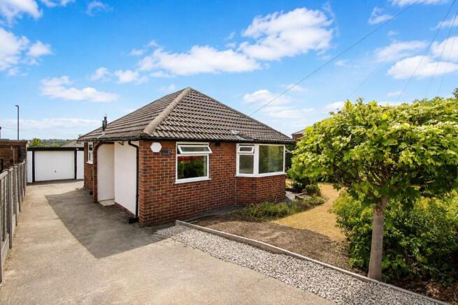
Explore 57 properties in Horbury — homes and commercial listings for sale and to rent. Start with detached houses, semi-detached houses, terraced houses, or office.

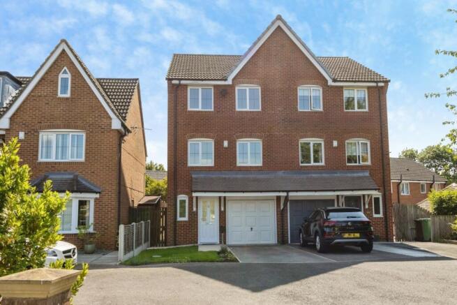
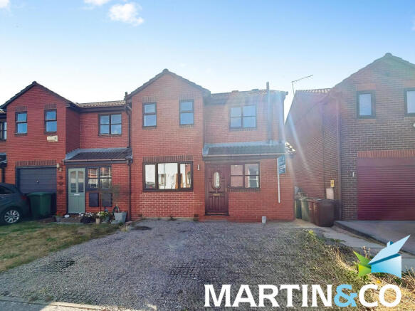
4 Bed Semi-Detached House - Bittern Croft, Horbury
£290,000
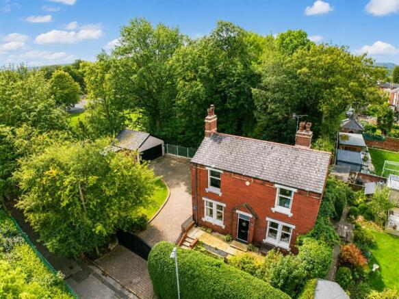
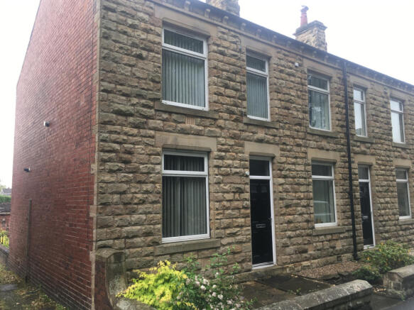
2 Bed Detached House - St Johns Street, Horbury
£850 pcm
Stay in Horbury
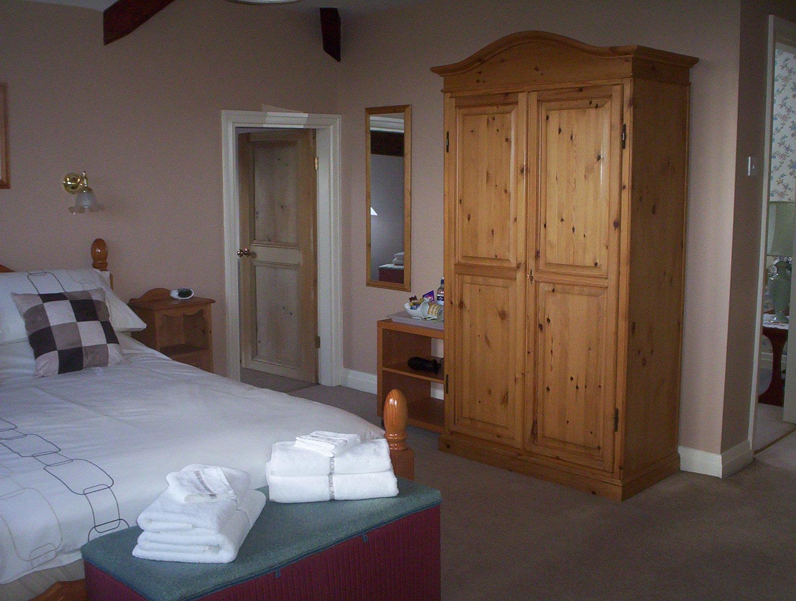

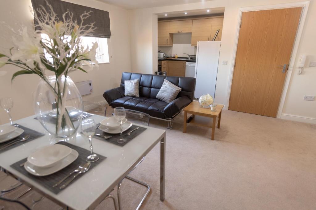
Courtyard Mews
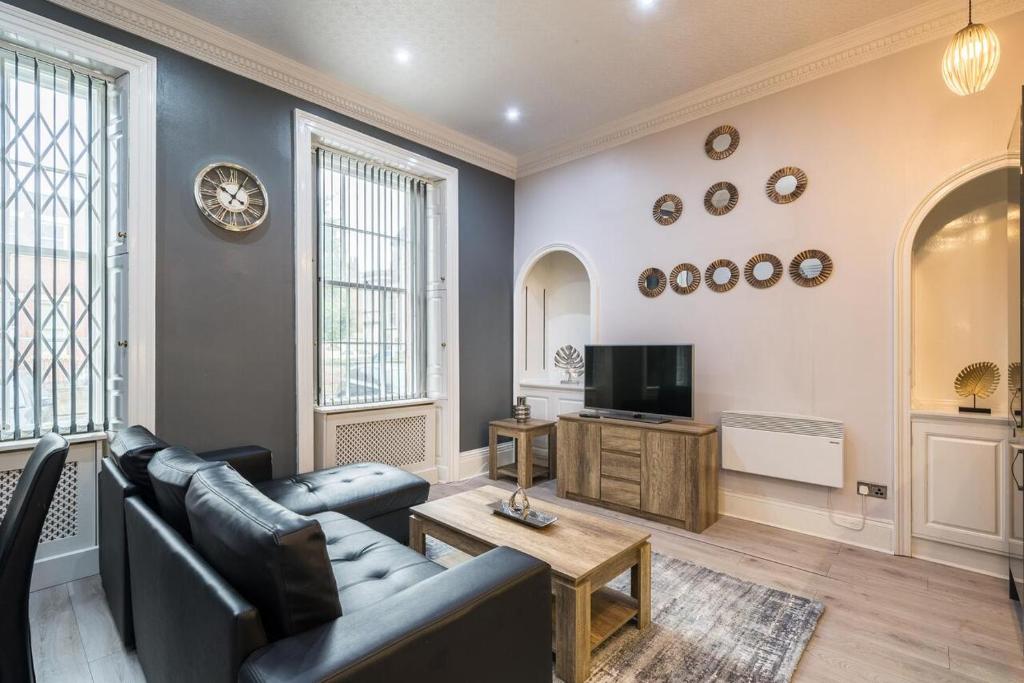
St Johns North Apartments Wakefield
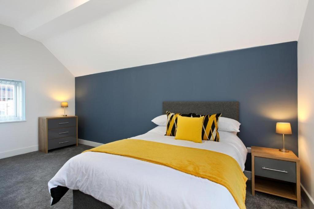
Sandal Park View - Duplex Relocations
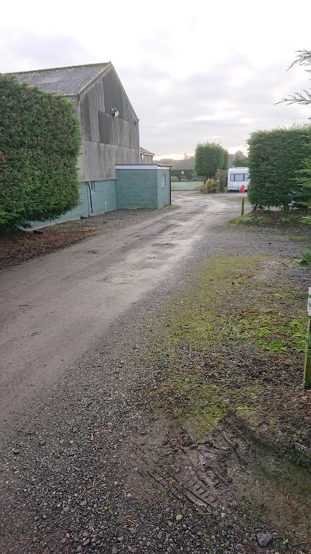
Broadlands Farm Touring Caravan Site
Discover Broadlands Farm, a tranquil, adults-only touring caravan site near Wakefield, praised for its spotless facilities.
Things to Do in Horbury
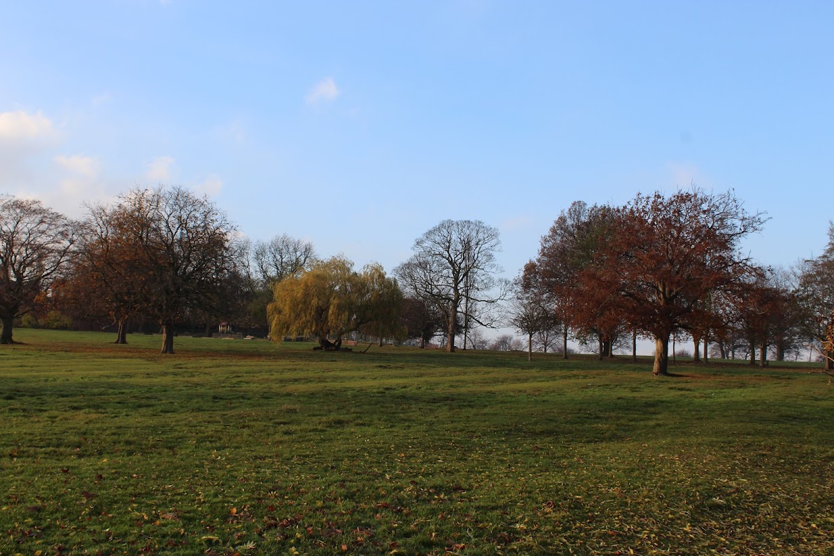
Carr Lodge Park Horbury
Carr Lodge Park in Horbury offers a delightful escape for visitors with its beautiful carvings and artwork. Located on Wakefield Rd, this park is a perfect spot for leisurely walks and enjoying the scenic views. Although parking details are not explicitly mentioned, it is likely a pay-and-display facility, ensuring convenient access for tourists.
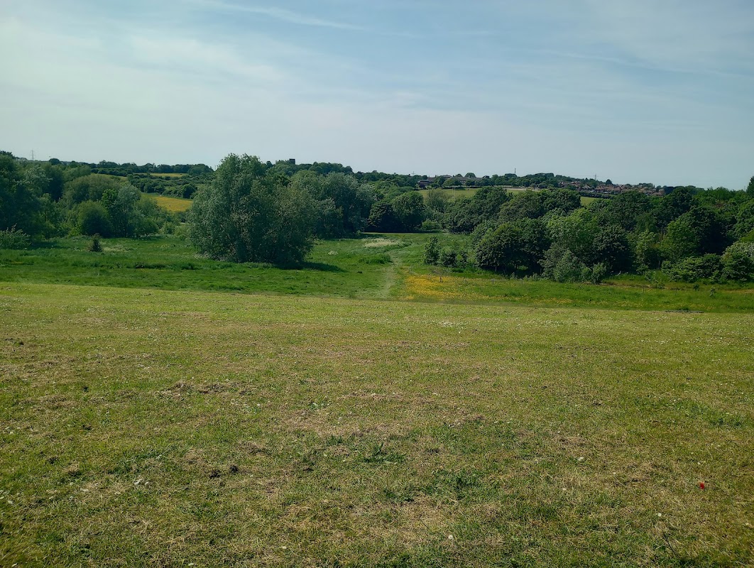
Alverthorpe meadows
Alverthorpe Meadows offers a natural escape in Wakefield, perfect for peaceful strolls and free-form exploration.

Fighting Fit Studio
Discover Fighting Fit Studio in Ossett, a highly-rated fitness community offering expert personal training, diverse classes, and sports massages.
Food & Drink

WISH'S
Discover WISH'S in Wakefield, a highly-rated sandwich shop serving generous portions of delicious, freshly prepared food.

Shalmar Tandoori Restaurant
Shalmar Tandoori Restaurant offers Indian cuisine for late-night dining and takeaway in Wakefield city centre.

Alis & De-Niros
Alis & De-Niros offers a selection of popular takeaway dishes including pizzas, kebabs, and burgers in Ossett.

Interactive Map
View accommodation, attractions, restaurants, and events on the map
Geographic Facts
This village is geographically within the following regions:
- Population
- 10,002
- Postcode
- WF4
- Administrative area
- Wakefield
- Dialing code
- 01924
Data sourced from Wikidata and verified public records
Upcoming Events in Horbury
View All Events in Horbury →


Browse by Type
Latest news from Horbury
All Local News →
Yorkshire Trainee Solicitor to Play in Inaugural Sikh Games, Representing North Yorkshire
Walkshire in Horbury
More Walks in Horbury →
A canal walk in Wakefield, Aire & Calder Navigation
This walk from Wakefield to Castleford combines lovely countryside with a step into the region's industrial past. The Route what3words for start point: ///evenly.mental.burns Start Point: Wakefield Finish Point: Castleford Distance: 9 Miles GPX Route Map wakefield-canalDownload Walk Description Follow the route of Wakefield canal from the centre of the town on the river Calder to Castleford and take in the pretty scenery as well as the industrial heritage of the region. Highlights of the walk are the Stanley Ferry aqueducts, one Victorian structure and the other a modern construction in the 1980's built to compliment the original. You will also see the southlands wetlands centre on route and this is a nice stop off for the family. The walk also passes very close to the world famous Hepworth gallery before heading off to Castleford.

Walk: Newmillerdam Country Park
This fantastic walk is just to the south of Wakefield and is dominated by the reservoir at it's centre. A wonderful place to visit to get away from the busy life, it's a great place to explore with the family. The Route what3words for start point: ///planting.processor.slungnew Start Point: 673 Barnsley Rd, Newmillerdam WF2 6QQ Finish Point: Newmillerdam Distance: 3 Miles GPX Route Map newmillerdam-country-parkDownload Walk Description Situated to the south of Wakefield, Newmillerdam is a popular spot for locals to stretch their legs for a Sunday afternoon stroll. The surfaced path leads you around the central reservoir before darting in and out of the woodland that surrounds the water's edge. Keep a look out for the bird and aquatic life that calls the water its home from ducks, geese and the odd swan. There are also local coffee stop and pub for you to refuel after a peaceful walk. Make sure you look at the architecture of the dam, a fabulous example of late Victorian work in the style of ramparts on a castle.

Walk: Coxley Woods
Follow these miles of woodland trails and lose yourself in the heart of nature in this lovely walk just outside Netherton. The Route what3words for start point: ///promoting.sandpaper.loving Start Point: Netherton Finish Point: Netherton Distance: 2 Miles GPX Route Map coxley-woodsDownload Walk Description Home to beautiful woodland, streams and ponds these wood have long been a local favourite especially in spring when the bluebells are in full bloom. There are also lots of other local wildlife to spot such as squirrels and the occasional deer as been spotted. The main trail winds its way from the north of the site following Croxley beck to Perkin wood and onto Stoney Cliffe Wood. Rest up here before retracing your steps and turning for home.