Hunton
village

Discover Hunton

Hunton is a village located in North Yorkshire, with a population of 431 residents. Positioned within the DL8 postcode area, it is governed by North Yorkshire Council (formerly Richmondshire). The village offers a glimpse into rural life and features traditional architecture, contributing to its historical significance in the region.

Explore the map below to discover accommodation, attractions, restaurants, and live events across Hunton. Scroll down to browse featured listings and plan your perfect visit.

Stay in Hunton

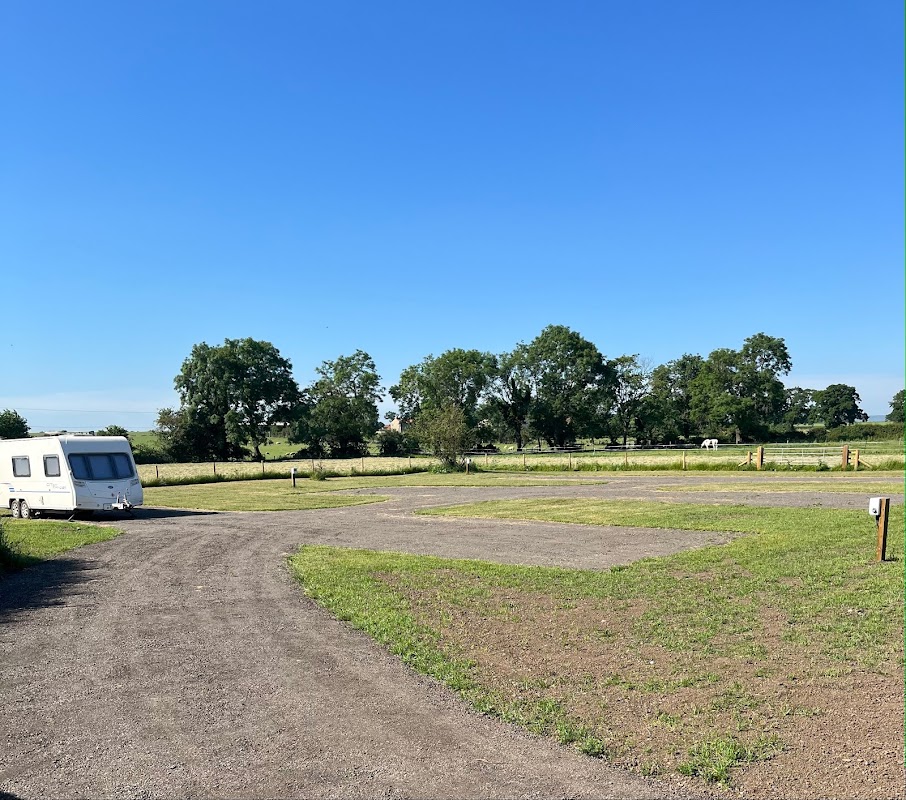
A gravel pathway leads to a grassy area with trees and a clear blue sky at Low Hall Farm, Hunton, Yorkshire.
Campsite

Low Hall Farm

Low Hall, Bedale Rd, Hunton, Bedale DL8 1QF, UK
📍0.9m from the centre of Hunton

Low Hall Farm provides comfortable accommodation in hunton.

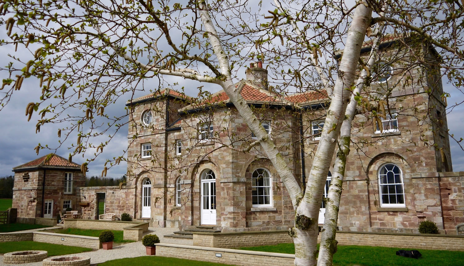
Accommodation at 1 Countryman Inn Cottages in hunton
Holiday Cottage

1 Countryman Inn Cottages

1 Countryman Inn Cottages, 1 Countryman Inn Cottages, Hunton, Bedale, North Yorkshire, DL8 1PY, United Kingdom
📍0.5m from the centre of Hunton

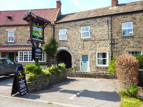
Accommodation at The Countryman’s Inn in hunton
Hotel
From
£805
per night

The Countryman’s Inn

South View, Hunton, DL8 1PY, United Kingdom
📍0.6m from the centre of Hunton

Accommodation at Bridge House Barn in hunton
Hotel

Bridge House Barn

Bridge House Barn, Church Bank, Hunton, DL8 1PX, United Kingdom
📍0.5m from the centre of Hunton

Aerial view of Constable Burton Hall Caravan Park, surrounded by lush green fields and trees in North Yorkshire.
Holiday Park

Constable Burton Hall Caravan Park North Yorkshire (book direct for best prices).

Constable Burton, Leyburn DL8 5LJ, UK
📍2.4m from the centre of Hunton

Constable Burton Hall Caravan Park North Yorkshire (book direct for best prices). provides comfortable accommodation in constable-burton.

Accommodation at The Garden Suite in arrathorne
Bed & Breakfast

The Garden Suite

The Granary, Craggs Lane Farm Steadings, Craggs Lane, Tunstall, Richmond, North Yorkshire, DL10 7RB
📍1m from the centre of Hunton

Things to Do in Hunton

A gravel pathway leads to a grassy area with trees and a clear blue sky at Low Hall Farm, Hunton, Yorkshire.
Campsite

Low Hall Farm

Low Hall, Bedale Rd, Hunton, Bedale DL8 1QF, UK
📍0.9m from the centre of Hunton

Low Hall Farm in Hunton offers a charming and peaceful camping experience with stunning views and friendly hosts. Situated between Bedale and Leyburn, this small farm site is perfect for those looking to explore the Yorkshire countryside. Enjoy the tranquility of the surroundings and the convenience of nearby local amenities.
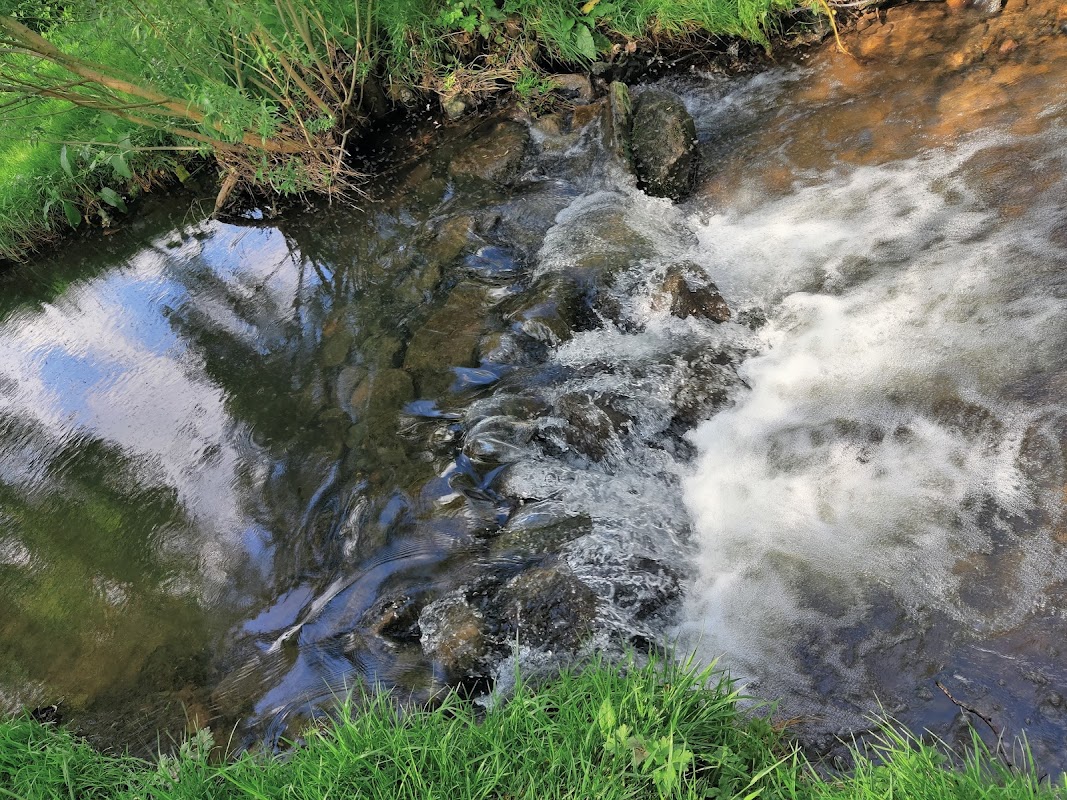
Clear water flows over rocks, surrounded by lush green grass and trees, reflecting the sky above in Hunton Village.
Park

Hunton Village Recreation Area

Wild Hill Ln, Hunton, Bedale DL8 1QZ, UK
📍0.7m from the centre of Hunton

Hunton Village Recreation Area offers a delightful escape for families visiting the charming village of Hunton. Located on Wild Hill Lane, this park provides a wonderful setting for children to play and explore. While parking is available, visitors should be prepared for standard pay-and-display options.
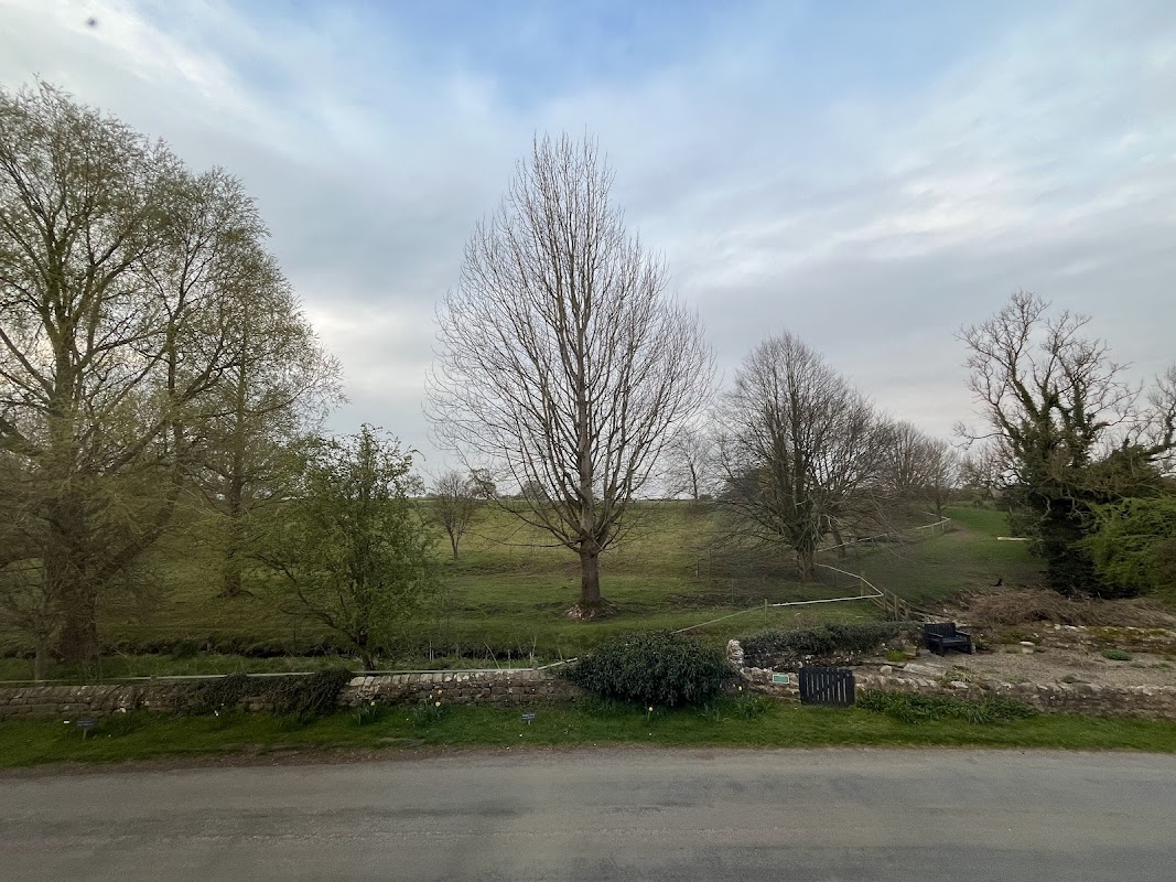
Lush green landscape with bare trees under a cloudy sky, featuring a stone wall and a small stream.
Garden

The Village Pinfold

Leyburn Rd, Hunton, Bedale DL8 1QL, UK
📍0.7m from the centre of Hunton

The Village Pinfold in Hunton offers convenient parking for visitors exploring the charming surroundings of Leyburn Road. While specific payment options are unknown, this facility is likely a standard pay-and-display car park, providing easy access to nearby gardens and parks. It's an ideal spot for tourists looking to enjoy the local attractions.

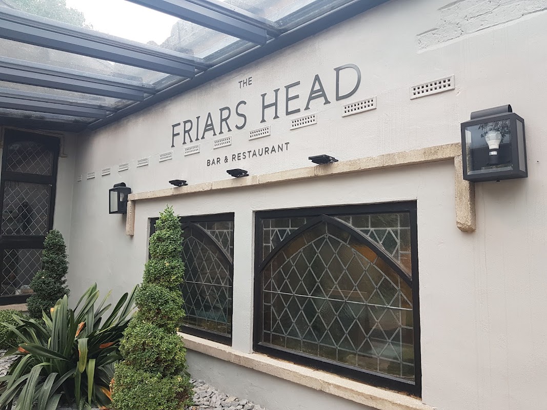
Signage for "The Friars Head" bar and restaurant, with decorative plants and stone accents.
Restaurant

The Friars Head

Bedale, Leyburn DL8 5LY, UK
📍1.8m from the centre of Hunton

Located in the picturesque village of Finghall, The Friars Head offers convenient parking for visitors looking to enjoy a delightful dining experience in the heart of Yorkshire. While the parking is likely pay-and-display, the venue's charm and the quality of its food make it a must-visit for those exploring the Bedale and Leyburn area.

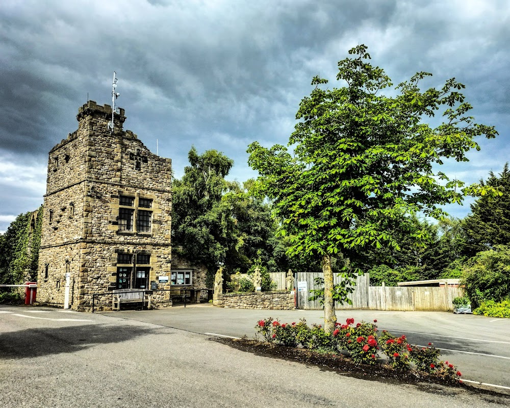
Stone building with a tower, surrounded by trees and flowers, under a cloudy sky at Akebar Park Golf Course.
Hotel

Akebar Park

Road, Leyburn DL8 5LY, UK
📍1.8m from the centre of Hunton

Akebar Park offers great dining in finghall.

Mighty Bucket filled with fried chicken, fries, and a glass of Pepsi on a white background.
Takeaway

KFC Catterick - Richmond Road

58 Richmond Rd, Catterick Garrison DL9 3JF, UK
📍2.9m from the centre of Hunton

Craving classic fried chicken? KFC Catterick offers familiar takeaway options for a quick and convenient meal in North Yorkshire.

Map placeholder
🗺️

Interactive Map

View accommodation, attractions, restaurants, and events on the map

Geographic Facts

This village is geographically within the following regions:

Population
431
Postcode
DL8
Administrative area
North Yorkshire Council (formerly Richmondshire)
Dialing code
01677

Data sourced from Wikidata and verified public records

Latest news from Hunton

All Local News →
Smiling woman in an apron holds rapeseed oil bottles in a bright food hall, surrounded by colorful product displays.

From Local Farm to National Shelves: How a North Yorkshire Rapeseed Oil Business Wins Listing with Garden Centre Chain

A North Yorkshire farm business, Charlie & Ivy's, has landed a major nationwide listing! Find their award-winning rapeseed oil bread dippers in Dobbies now.

Yorkshire TeamApr 2, 2026
0

Walkshire in Hunton

More Walks in Hunton
Walk: Catterick Garrison to Northallerton
Moderate

Walk: Catterick Garrison to Northallerton

⏱️0h 31m📍Northallerton

Explore a scenic stretch of rural North Yorkshire, linking Catterick Garrison to Northallerton via quiet lanes, open fields, and peaceful riverside sections. At just over 26 km, this is a longer, rewarding full-day walk that crosses the A1, skirts the River Swale near Kiplin Hall, and takes in a string of traditional villages on the way to the county town. The route Distance: 26.3 km (16.3 miles)What3Words: //altering.overlaid.clapStart Point: Catterick GarrisonFinish Point: NorthallertonPublic Transport: Buses to Catterick Garrison; train from Northallerton GPX route map Use the interactive map below to follow the route from Catterick Garrison through Tunstall, Great Langton, Little Langton, Thrintoft and Yafforth before reaching Northallerton. This GPX file can be downloaded and used with most navigation apps or GPS devices for offline access. catterick-garrison-to-northallertonDownload Walk Description This long but relatively gentle walk begins in Catterick Garrison and heads east across open fields and quiet country roads. After passing through Tunstall, you’ll cross the A1 — one of the walk’s few major interruptions — via a safe bridge crossing. From here, the route settles quickly back into rural rhythm, with wide views and agricultural landscapes dominating the horizon. Near Kiplin Hall, the path skirts close to the River Swale, offering moments of riverside calm and birdlife activity before curving toward the village of Great Langton. From there, you continue to Little Langton, where hedged lanes and traditional farm buildings maintain the peaceful, rural feel. The next section continues across open farmland to Thrintoft and then Yafforth — two small, unspoiled villages typical of this part of North Yorkshire. As the walk nears its end, it skirts the northern boundary of Romanby Golf Club before leading into the centre of Northallerton via quiet lanes and footpaths. With a mix of historical interest, changing scenery and the convenience of rail connections, this is a rewarding route for anyone looking to experience Yorkshire’s gentle countryside on foot.

Plan Your Trip

Get the latest updates and offers for Hunton.

Sign Up for Newsletter