
Discover Kennythorpe
Kennythorpe is a village located in North Yorkshire, governed by North Yorkshire Council (formerly Ryedale). Known for its rural landscape, it offers insights into traditional English village life. While specific population data is unavailable, the village's pastoral surroundings and proximity to regional attractions make it a point of interest for visitors exploring the area's cultural and natural heritage.
Explore the map below to discover accommodation, attractions, restaurants, and live events across Kennythorpe. Scroll down to browse featured listings and plan your perfect visit.
Property in Kennythorpe
Explore property in Kennythorpe — homes and commercial listings for sale and to rent. Start with detached houses.
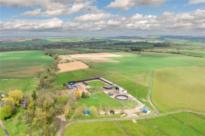
5 Bed Detached House - Hanging Hill Farm, Kennythorpe
£1,000,000
Browse by type
Stay in Kennythorpe
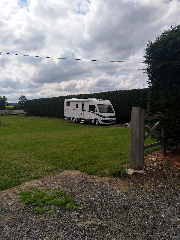
Thornthorpe Caravan and Camp Site
Thornthorpe Caravan and Camp Site in Kennythorpe offers a charming and well-maintained camping experience with essential amenities like clean showers and toilets. Located at Manor Farm, this site provides a peaceful atmosphere perfect for relaxation and is dog-friendly, making it an ideal spot for families and pet owners exploring the Malton area.
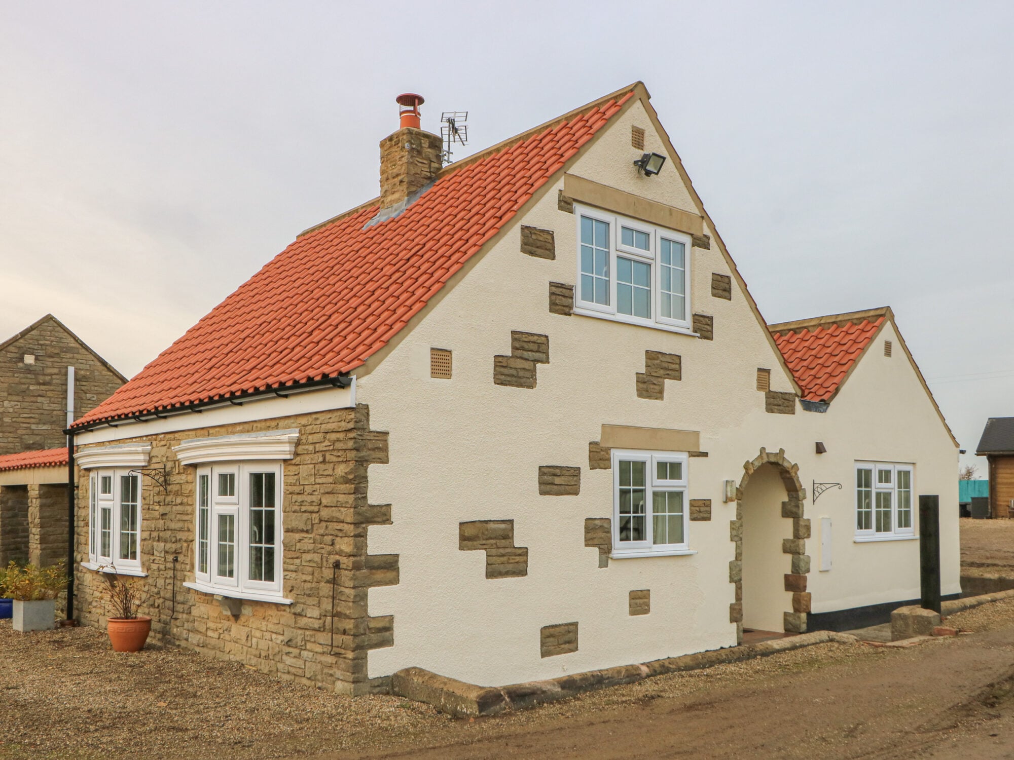
Hanging Hill Farm Cottage
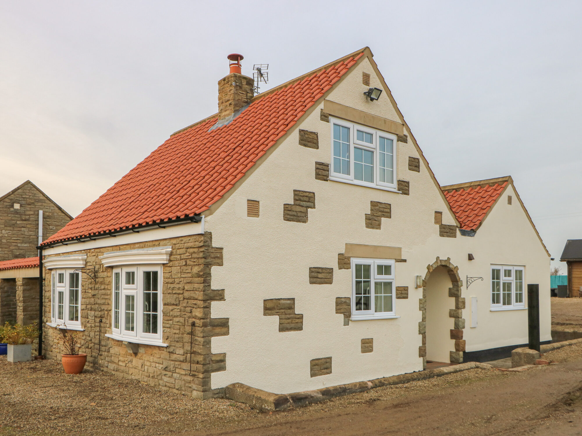
Hanging Hill Farm Cottage
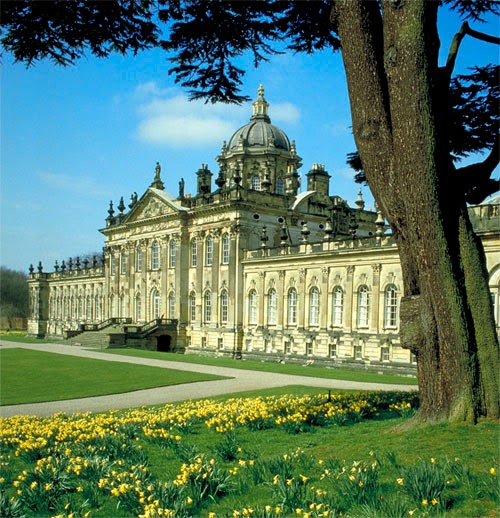
Langhill Holiday Cottages
Langhill Holiday Cottages in Burythorpe offers a serene countryside retreat, perfect for tourists seeking tranquility and a home-like atmosphere. While the parking details are not explicitly mentioned, visitors can expect standard pay-and-display options typical in rural settings. The location provides easy access to nearby tourist attractions, making it an ideal base for exploring the Yorkshire area.
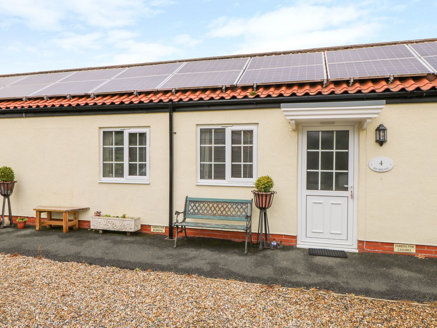
Richmond Cottage
Browse by Type
Things to Do in Kennythorpe
Thornthorpe Caravan and Camp Site
Thornthorpe Caravan and Camp Site in Kennythorpe offers a charming and well-maintained camping experience with essential amenities like clean showers and toilets. Located at Manor Farm, this site provides a peaceful atmosphere perfect for relaxation and is dog-friendly, making it an ideal spot for families and pet owners exploring the Malton area.
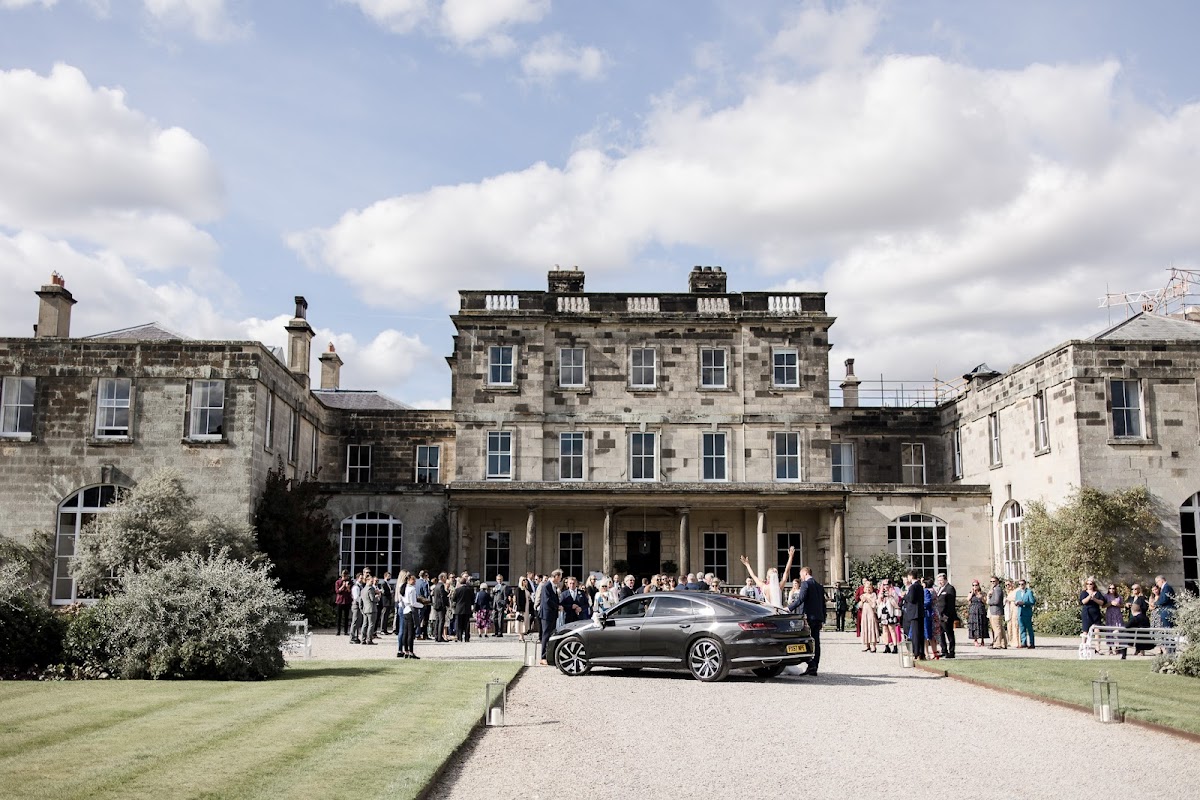
Birdsall Estates Co Ltd
Birdsall Estates Co Ltd offers parking facilities at their picturesque venue in Birdsall, North Yorkshire. Ideal for visitors attending weddings or events at the historic Birdsall House, this parking area provides convenient access to the stunning grounds and nearby attractions.
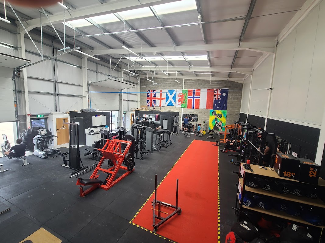
Strength Circus
Strength Circus in Malton is a highly-rated, welcoming gym offering diverse training, including popular Strongman classes.
Browse by Type
Food & Drink

Blu Fig Coffee Shop
Discover Blu Fig Coffee Shop, a highly-rated, welcoming cafe in Malton's Enterprise Park, serving delicious coffee, breakfasts, and treats.
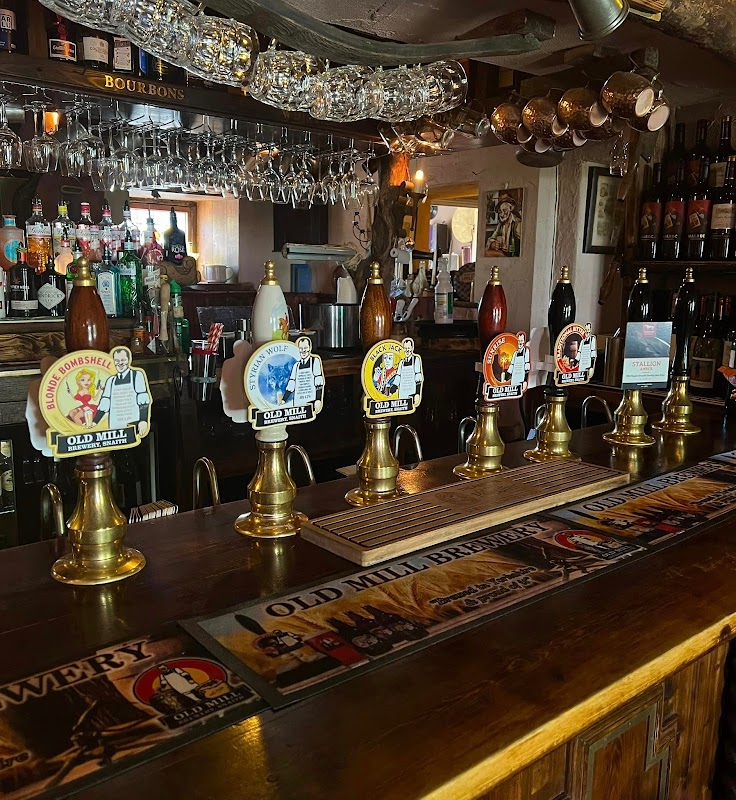
The Bay Horse Inn
The Bay Horse Inn, located in the charming village of Burythorpe near Malton, offers a cozy and welcoming atmosphere for visitors exploring the Yorkshire countryside. While the pub itself is a delightful stop for a meal or drink, parking is likely to be pay-and-display, typical of rural village settings. Enjoy your visit to this quaint establishment as part of your Yorkshire adventure.
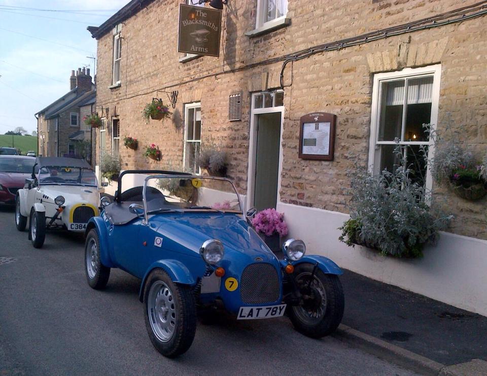
The Blacksmiths Arms & Honeysuckle Cottage

Interactive Map
View accommodation, attractions, restaurants, and events on the map
Upcoming Events in Kennythorpe
View All Events in Kennythorpe →No events found for Kennythorpe yet.
No events found for this period. Check back soon!
View all events in KennythorpeLatest news from Kennythorpe
All Local News →
Natural England Proposes New Area of Outstanding Natural Beauty in Yorkshire Wolds
Natural England has proposed a new Area of Outstanding Natural Beauty in the Yorkshire Wolds, aiming for formal recognition to conserve its stunning landscapes for future generations.

From Local Farm to National Shelves: How a North Yorkshire Rapeseed Oil Business Wins Listing with Garden Centre Chain
A North Yorkshire farm business, Charlie & Ivy's, has landed a major nationwide listing! Find their award-winning rapeseed oil bread dippers in Dobbies now.
Walkshire in Kennythorpe
More Walks in Kennythorpe →
Walk: Norton and Langton
Norton and Langton is a 7.7 kilometer loop trail located near Norton-on-Derwent, North Yorkshire, England and is rated as moderate. The trail is primarily used for hiking, walking, and trail running. The Route what3words for start point: ///waggled.pizzeria.pickup Start / Finish Point: Norton, Malton YO17 9HS Distance: 5 Miles GPX Route Map nortonandlangtonDownload Walk Description A circular walk near the market town of Norton on Derwent in Ryedale. The route performs a loop to the south to visit the picturesque village of Langton, taking in long stretches of peaceful tracks with stunning views plus chance to meet racehorses and pigs along the way. The walk has several climbs and descents throughout. The paths are generally firm in the dry months but can get very muddy in winter and after periods of rain. You will need to negotiate the remains of one stile (now just a wooden step about 30cm high) plus several single field and bridle gates. The vast majority of the fields are arable and the track also leads you past several pig enclosures which are surrounded by electric fencing, so be careful to keep children and dogs away from this. A couple of very short sections can get a little overgrown in the height of the growing season. You will need to cross one short grass pasture. Allow 2.5 hours. There are no refreshments or other facilities on route, but there is a handy bench in Langton if you want to take a picnic. Alternatively, Norton is just a short drive away at the end of your walk where you will find several pubs and restaurants on Church Street and Commercial Street. OS Map: Explorer 300 Howardian Hills and Malton. This walk follows public footpaths and bridleways which cross private and public land. Please observe the Countryside Code.

Walk: High Hutton to Crambeck
Take in the countryside between High Hutton and Crambeck near Malton on this easy walk from a Coastliner bus. The Route what3words for start point: ///revives.decisions.checked Start Point: Bus stops near Huttons Ambo Lane End, York YO60 7HU Finish Point: Bus stops near Crambeck village, Crambeck, York YO60 7EZ Distance: 4.5 Miles GPX Route Map walkshirehighhuttontocrambeckDownload Walk Description From the bus stops, turn so the Saltergate Car Park is behind you, and head left - crossing the road if you need to - and head through the gap in the fence on the right, Then turn right again to be walking away from - but parallel to - the A169 road. Follow it around to the left until the paths split. Take the left fork, around the edges of the trees, and then left again as a path branches off into the scrubland. Follow this line until you reach a clear path intersecting yours; turn left on this path through the trees and then right. The paths split and here take the left hand higher path. Go through three fields and then walk along the left side of a hedgerow in the forth field. At the end of this, look head but to the left slightly for an entrance path into the wood in front of you, and walk towards this. Head through the wood to emerge on the other side, and head left to find the gap in the boundary of the fields. Go through and turn slightly right, heading for the gate you should be able to see in the boundary straight ahead. Go through this and head for the boundary ahead, turning right when you reach it. Turn left through the boundary when you can, and then head to the left of the row of trees which is ahead of you. At the next boundary ahead, turn right and head into the wood following the path which eventually brings you out the other side and down on a clear path into the Hole of Horcum. Continue to follow the path and it leads back to where the paths split towards the start. Follow the path back towards the main road, and turn right to retrace your steps back to be bus stops near the car park.