Kilham
village

Discover Kilham

Kilham is a village located in the East Riding of Yorkshire, governed by East Riding of Yorkshire Council. With a population of around 1,000, it falls within the YO25 postal code area. Known for its historical significance, Kilham was once a key market town in the medieval period.

Explore the map below to discover accommodation, attractions, restaurants, and live events across Kilham. Scroll down to browse featured listings and plan your perfect visit.

Stay in Kilham

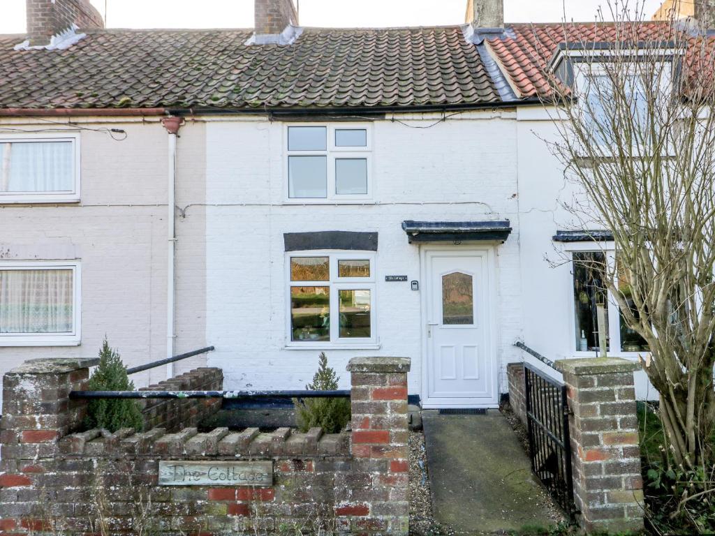
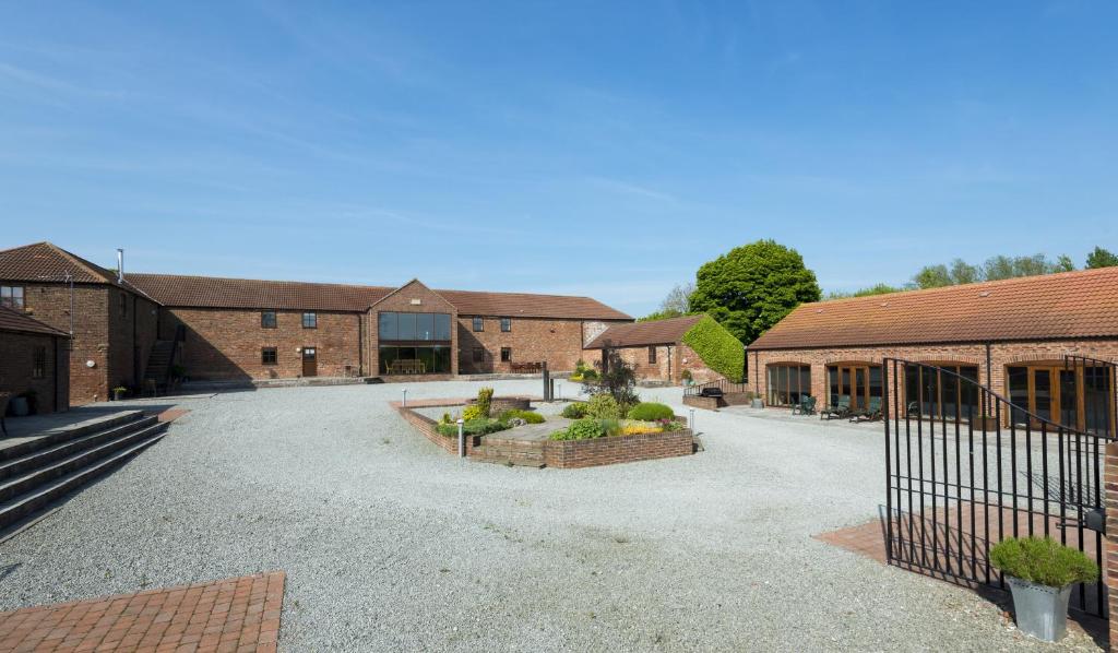
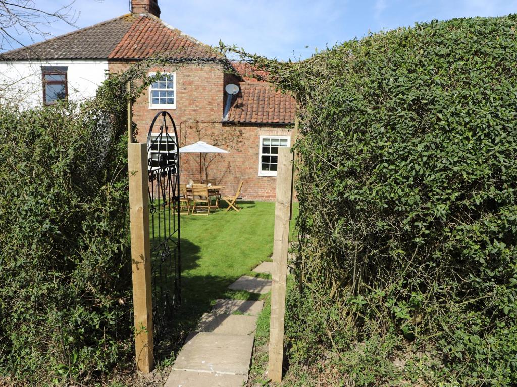
The Cottage, Kilham, Yorkshire
Holiday Cottage

The Cottage

The Cottage, Mount Pleasant, Harpham Road, Kilham, Driffield, East Riding of Yorkshire, YO25 4RZ, United Kingdom
πŸ“1.5m from the centre of Kilham

Accommodation at The Cottage, Driffield in kilham
Holiday Cottage

The Cottage, Driffield

Great Driffield, YO25 4RZ, United Kingdom
πŸ“1.5m from the centre of KilhamπŸ›οΈ1 Bed

WiFiParking
Accommodation at Furrows Cottage in wold newton
Hotel

Furrows Cottage

Great Driffield, YO25 3DS, United Kingdom
πŸ“2.6m from the centre of Kilham

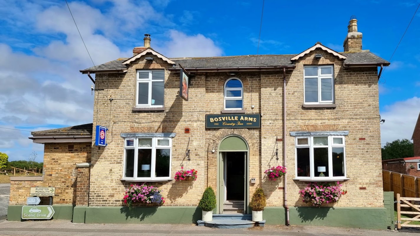
Historic brick hotel with a welcoming entrance, flower baskets, and a clear blue sky in Rudston, Yorkshire.
Pub

The Bosville Arms

High Street, Rudston, Driffield YO25 4UB, UK
πŸ“3m from the centre of Kilham

The Bosville Arms provides comfortable accommodation in rudston.

Accommodation at Acorn Cottage in burton agnes
Hotel
From
Β£396.48
per night

Acorn Cottage

Burton Agnes, YO25 4RY, United Kingdom
πŸ“1.5m from the centre of Kilham

Accommodation at Cartwheels Cottage in wold newton
Hotel

Cartwheels Cottage

Great Driffield, YO25 3DS, United Kingdom
πŸ“2.6m from the centre of Kilham

Browse by Type

Things to Do in Kilham

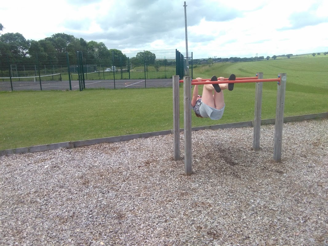
A child hangs upside down on a horizontal bar in a grassy field with a tennis court in the background.
Park

Kilham Playing Field

N Back Ln, Kilham, Driffield YO25 4TA, UK
πŸ“0.9m from the centre of Kilham

Kilham Playing Field offers a delightful outdoor experience for families visiting Yorkshire. Located in the charming village of Kilham, this park features a full-size football pitch, tennis and netball courts, a sand pit, and a thrilling zip wire, all set amidst beautiful natural surroundings. With ample free parking available, it's an ideal spot for a leisurely day out with plenty of play equipment and picnic areas.

Thorpe Hall - Attraction in rudston
Attraction

Thorpe Hall

Rudston, Driffield, East Yorkshire, YO25 4JE
πŸ“3m from the centre of Kilham

Historic brick hotel with a welcoming entrance, flower baskets, and a clear blue sky in Rudston, Yorkshire.
Pub

The Bosville Arms

High Street, Rudston, Driffield YO25 4UB, UK
πŸ“3m from the centre of Kilham

The Bosville Arms, located on High Street in the charming village of Rudston, offers convenient parking options for visitors. While enjoying a delightful meal or a stay at this community-owned inn, guests can easily access nearby attractions in Driffield and the surrounding Yorkshire countryside.
Browse by Type

Map placeholder
πŸ—ΊοΈ

Interactive Map

View accommodation, attractions, restaurants, and events on the map

Geographic Facts

This village is geographically within the following regions:

Population
1,088
Postcode
YO25
Administrative area
East Riding of Yorkshire
Dialing code
01262

Data sourced from Wikidata and verified public records

Latest news from Kilham

All Local News β†’
Celebratory group of award winners in formal attire, holding certificates, in a modern venue with colorful banners.

Goole & Howdenshire Business Excellence Awards – Winners: The Complete List of 2026 Honorees

The Goole & Howdenshire Business Excellence Awards 2026 was a huge celebration. See the full list of winners from the record-breaking ceremony in Yorkshire.

Yorkshire TeamApr 13, 2026
0
Kilham house

What Makes This Grade Two-Listed House In Kilham East Yorkshire So Special?

Explore this Grade II-listed house on Church Street, Kilham. For sale with Hunters, it has 6 bedrooms, a 2-bed annexe, a huge garden, and a barn.

Welcome to YorkshireAug 11, 2025
0

Walkshire in Kilham

More Walks in Kilham β†’
Walk: Boynton and Rudston
6.5mi
Moderate

Walk: Boynton and Rudston

⏱️2h 17mπŸ“Rudston

A long walk around the countryside of the East Yorkshire villages of Rudston and Boynton, just inland from Bridlington. The Rudston monolith is viewable from this walk. At over 25 feet it is the tallest megalith in the United Kingdom. The monument dates to the Late Neolithic or Early Bronze Age. The many other prehistoric monuments in the area include four cursuses (ditches or trenches built between 3400 and 3000 BC), three of which appear to converge on the site of the monolith. The Route what3words for start point: ///ironclad.disco.outright Start Point: Burton Agnes Balk, YO25 4UW. Please park considerately for local residents Finish Point: Burton Agnes Balk Distance: 6.5 Miles GPX Route Map walkshirerudstonandboyntonDownload Walk Description From wherever you have parked, head towards South Side Lane, and start to walk down the road. After a track to a barn on the left, the road becomes more of a track and can get fairly muddy. Follow this track as it heads alongside fields and eventually comes to a collection of trees. Follow the track to the right, then to the left. The track then turns to the right, but here, follow the footpath straight ahead into the wood. The wood is at its narrowest point here, so you’ll be soon out on the other side. Follow the path to the right, to keep the wood on your right hand side. At the field boundary, turn left, following the path as it turns right at the next wood - which will be on your left hand side. Soon, the path stops following alongside this wood and heads straight through it, only to leave vert shortly afterwards. Walk past the two solitary trees to a junction of paths. Carry on, heading towards the right slightly to meet a road, called Woldgate. Turn left, and walk along this old Roman Road. Keep walking until you see a public footpath sign pointing to the left. Following this path between the fields to reach Home Farm. Go through the farm and cross over the footbridge, through the wood to reach the village of Boynton. Turn left at the first road and walk through the hedge-lined path into the field. Follow the clear line on the ground towards the wood in the far distance. Keeping the wood on your right, follow the line of the trees to reach a road. Turn right, and then left on the B1253. Carefully follow the B1253, and just after the brick walls of a caravan park, there’s a footpath sign pointing to the left, with a protective fence around the exit. Follow the line of the path on the ground and soon this path becomes the road Eastgate. Continue to follow Eastgate to return to where you are parked.

Plan Your Trip

Get the latest updates and offers for Kilham.

Sign Up for Newsletter