
Discover Kilnsey
Kilnsey is a village located in North Yorkshire, governed by the North Yorkshire Council (formerly Craven). Known for its dramatic limestone kilnsey crag, the village is a highlight for visitors to the Yorkshire Dales National Park. Kilnsey hosts the annual Kilnsey Show, showcasing agricultural traditions and local crafts.
Explore the map below to discover accommodation, attractions, restaurants, and live events across Kilnsey. Scroll down to browse featured listings and plan your perfect visit.
Property in Kilnsey
Explore property in Kilnsey — homes and commercial listings for sale and to rent. Start with detached houses.
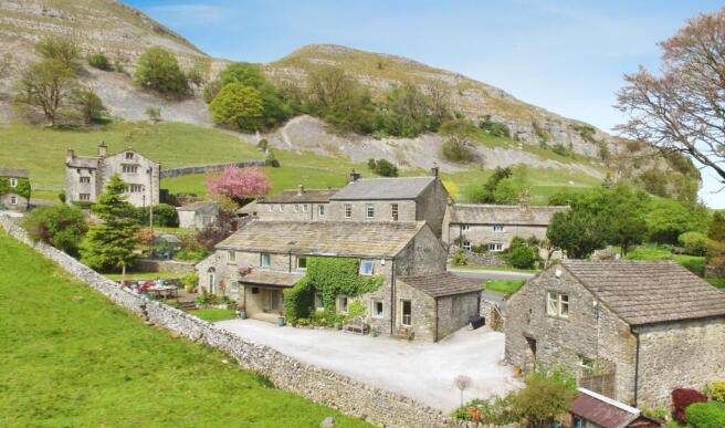
5 Bed Detached House - Old Hall Laithe & Barn on The Green, Kilnsey
£825,000
Browse by type
Stay in Kilnsey

The Tennants Arms Hotel
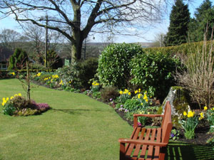
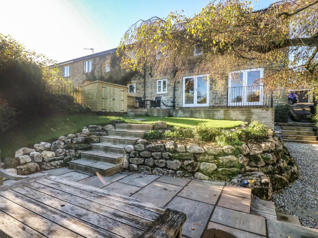
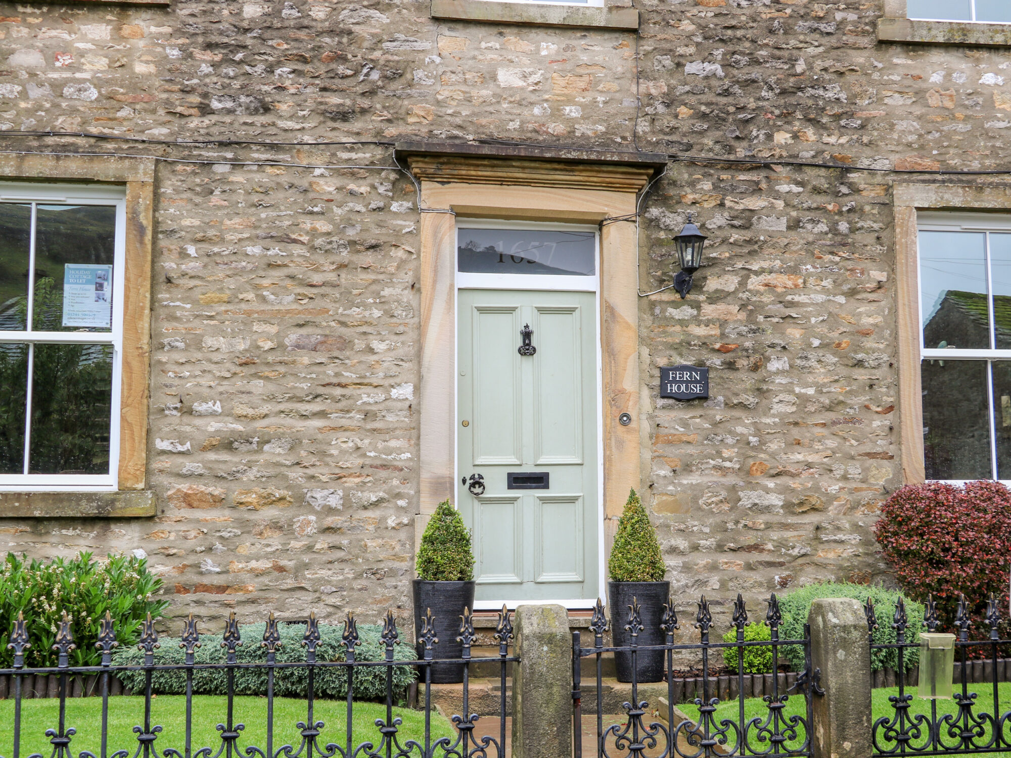
Fern House
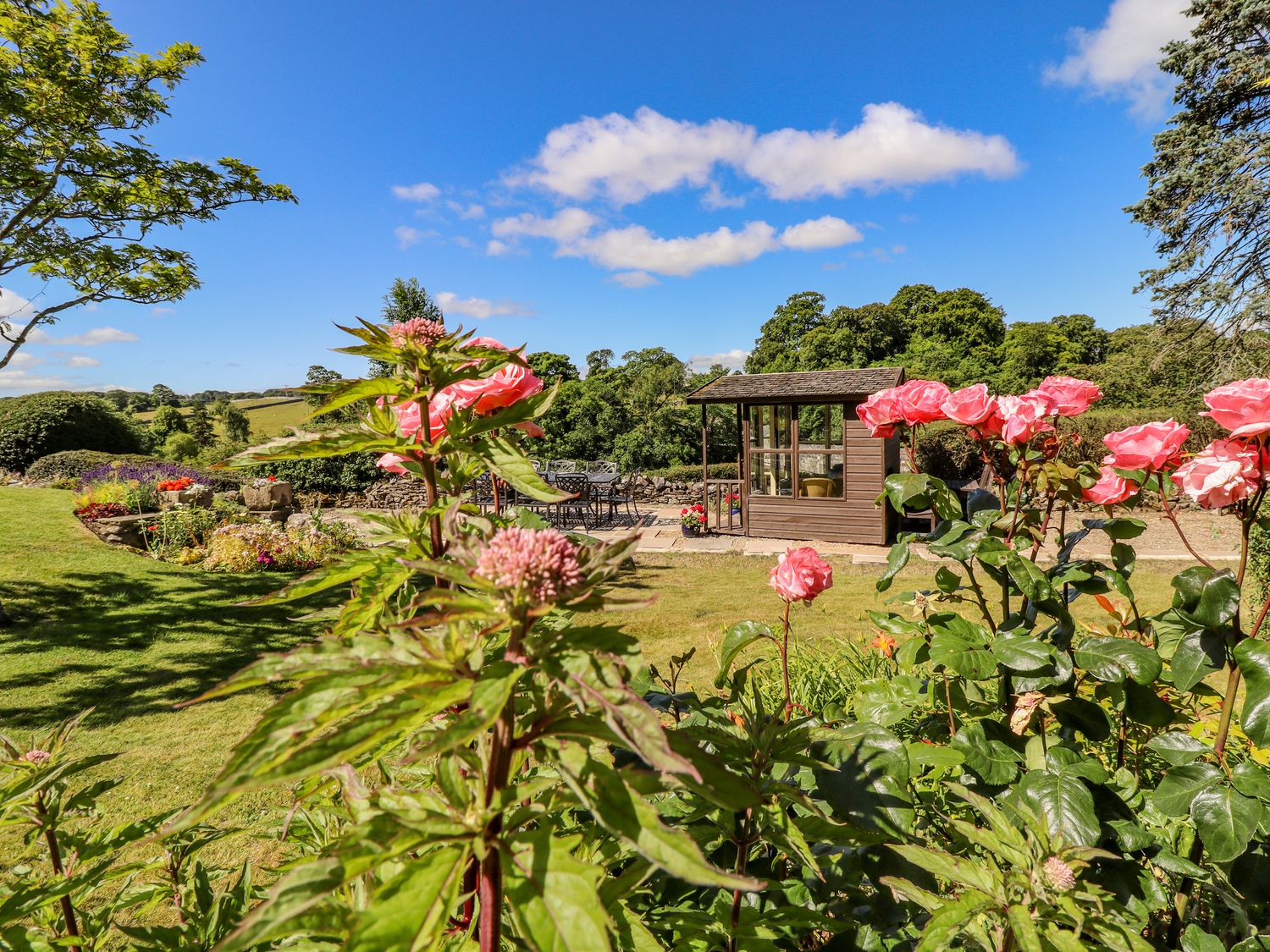
1 Bridge End
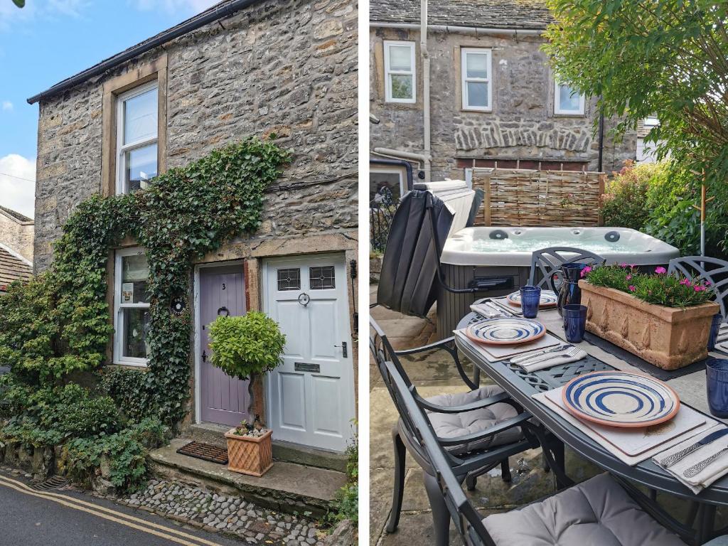
End Cottage
Things to Do in Kilnsey
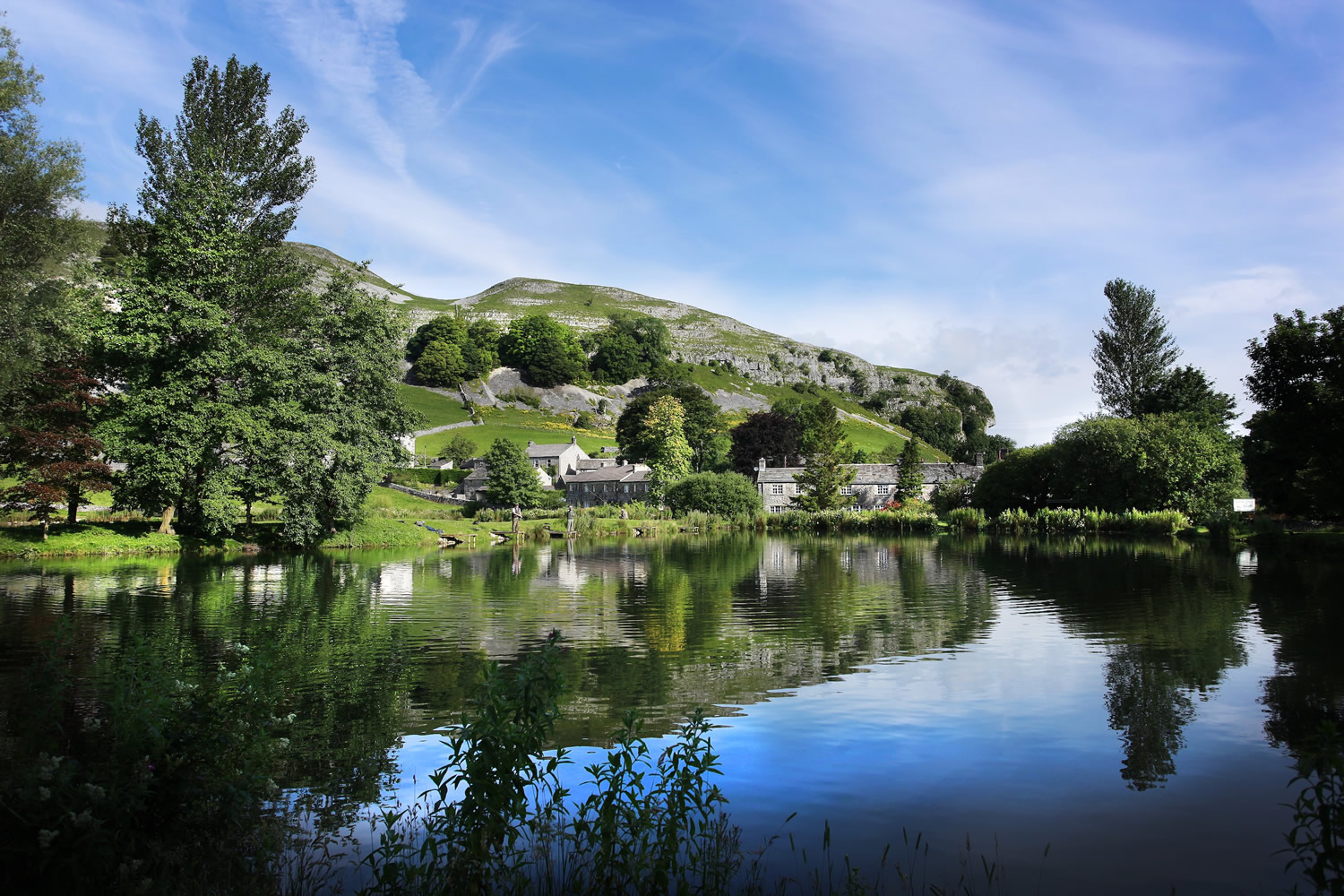
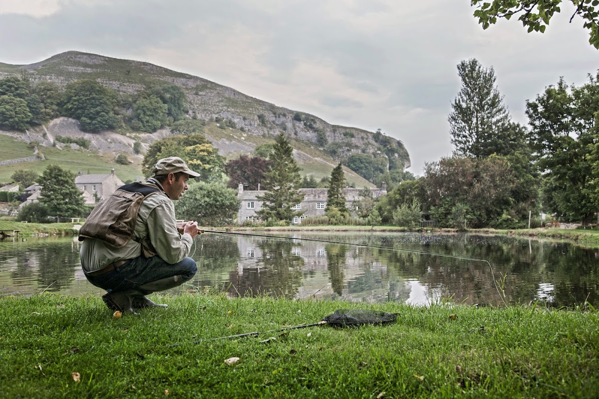
Kilnsey Park
Kilnsey Park offers a delightful day out in the heart of Yorkshire, set beneath the stunning Kilnsey Crag. Visitors can enjoy fishing, nature trails, and a cosy cafe, making it a perfect spot for families and nature enthusiasts. Convenient pay-and-display parking ensures easy access to all the attractions.
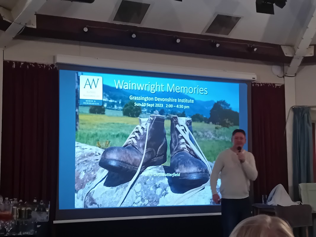
The Octagon Theatre
Discover The Octagon Theatre in Grassington, a charming venue renowned for its diverse events and welcoming atmosphere.
Food & Drink
Kilnsey Park
Kilnsey Park offers a delightful day out in the heart of Yorkshire, set beneath the stunning Kilnsey Crag. Visitors can enjoy fishing, nature trails, and a cosy cafe, making it a perfect spot for families and nature enthusiasts. Convenient pay-and-display parking ensures easy access to all the attractions.
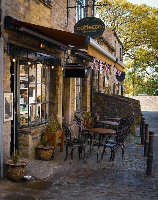
CoffeECO
CoffeECO is a highly-rated, dog-friendly cafe in Grassington, perfect for delicious breakfasts, hot drinks, and tempting treats.

Shell
Refuel and refresh at Shell Threshfield, a convenient petrol station offering essential services for your journey through the Dales.
Browse by Type

Interactive Map
View accommodation, attractions, restaurants, and events on the map
Geographic Facts
This village is geographically within the following regions:
- Administrative area
- Conistone with Kilnsey
Data sourced from Wikidata and verified public records
Upcoming Events in Kilnsey
View All Events in Kilnsey →No events found for Kilnsey yet.
No events found for this period. Check back soon!
View all events in KilnseyBrowse by Type
Latest news from Kilnsey
All Local News →
From Local Farm to National Shelves: How a North Yorkshire Rapeseed Oil Business Wins Listing with Garden Centre Chain
A North Yorkshire farm business, Charlie & Ivy's, has landed a major nationwide listing! Find their award-winning rapeseed oil bread dippers in Dobbies now.
Walkshire in Kilnsey
More Walks in Kilnsey →
Walk: Limestone Walking in Wharfedale
The limestone scenery in Upper Wharfedale is beautiful. The walking is straightforward and on this walk there are many of the best features including pavements and the famous Conistone Pie. The Route what3words for start point: ///galloping.swept.songbook Start / Finish Point: Conistone, Skipton, BD23 5HS Distance: 7 Miles GPX Route Map limestonewalkaboveconistoneDownload Walk Description Start the walk from the small village of Conistone and climb through the dry valley of the Conistone Dib. There is a splendid limestone pavement above the Dib. Continue uphill through some limestone scars and past an example of an old lime kiln where the limestone was crushed. The views across Wharfedale and in to Littondale are lovely. Drop back down to towards the valley and join the Dales Way. Follow this south past the Conistone Pie before returning to Conistone.

Walk: Grassington, Grass Wood, Conistone Dib and Lea Green
A walk around Grassington, Ghastrill’s Strid, Grass Wood, Conistone Dib and Lea Green in the Yorkshire Dales. The Route Start Point: Grassington, Wharfedale Finish Point: Grassington, Wharfedale Distance: 8.5 Miles GPX Route Map grassington-conistone-and-lea-greenDownload Walk Description Grassington is an attractive small town set amongst the rolling hills of Upper Wharfedale, a popular tourist destination due to its picturesque cobbled square, stone cottages and winding alleyways. From Grassington, our route follows the River Wharfe to the impressive limestone rapids of Ghastrill’s Strid (admire from a safe distance), before reaching Grass Wood. This ancient swathe of woodland once formed part of the much larger forest of Wharfedale and has many indigenous tree species and almost 400 species of flowers and plants, thus meriting Nature Reserve status. It is a truly magical place to explore in spring. Beyond Grass Wood our path traverses the dry limestone gorge of The Dib, a glacial meltwater channel, before reaching Conistone, an attractive Craven village that boasts many fine old farmhouses, a large maypole and the oldest church in the southern Dales that dates back to pre-Conquest times. St Mary's Church still has some pre-Norman arches as well as wealth of other interesting features including a poor box. In the graveyard is a sad memorial to a group of young men who were killed in a tragic pot-holing accident at Mossdale Cavern in 1967. From Conistone, a footpath leads up through the spectacular dry limestone valley of Conistone Dib, one of the ‘natural wonders’ of the Yorkshire Dales. This deep steep-sided gorge was scoured out by glacial meltwaters towards the end of the last Ice Age when the permafrost prevented the water from seeping down through the limestone bed-rock. In places, Conistone Dib closes in to little more than a narrow passage beneath towering limestone crags. This whole area boasts some wonderful limestone scenery with pavements, dry valleys, crags and outcrops all around. From Conistone Dib, the return leg of this walk crosses Lea Green and the remains of one of the largest Iron Age settlements in England. This was occupied from 200BC until 400AD, surviving throughout the Roman occupation because of its secluded situation high on the hills. Rectangular fields, hut circles and traces of roads can be clearly seen, although to the untrained eye it appears to be a very rough scattering of fields covered with lots of grassy bumps! As with many other archaeological sites, the true picture only really comes to life when viewed from the air.

Walk: Wharfedale and Littondale
This is a delightful exposed and dramatic walk with stunning views into Wharfedale and Littondale both at the beginning and end of the day. The Route what3words for start point: ///premises.spaceship.bins Start Point: Arncliffe Finish Point: Kettlewell Distance: 8.45 Miles GPX Route Map wharfedalelittondale2Download Walk Description Starbotton has been a village since the Iron Age times and still has only 75 residents! The village is criss crossed with a web of ancient routes from the times of the great monasteries of Fountains Abbey, Jervaulx and Rievaulx. The River Wharfe means ‘winding river’ and flows from Beckermonds into the Humber Estuary. As a result Wharfedale is a beautiful valley with steep hills rising on both sides making it one of the most stunning Dales in Yorkshire. The path ascending from Starbotton is an old packhorse track and drovers’ lane with crumbling walls on each side and trees lining the way – it is atmospheric and historic. It climbs steeply to the top of the moor used for grouse shooting in season. Arncliffe, now a conservation area, was used for filming Emmerdale. The fictional village of Beckindale was Arncliffe and The Falcon Inn, the Woolpack. The pub has no pumps for its beer but pours pints straight from the barrel into pot jugs and to the glass! From behind the pub, Malham Tarn can be reached just 4 miles away on the Monks Road. The scars above the village were once home to eagles hence the Old English name Earn meaning Eagle has evolved into Arn Cliffe. Hawkswick is a tiny hamlet with 70 residents. It was named after the first settlement, Hauk’s Dairy. The hamlet later had a Ballroom which still exists but is now a house. The climb over Hawkswick Moor passes Knipe Wood above Knipe Scar and is popular with ornithologists as there are peregrine falcons, redshanks and curlews here as well as dippers, oystercatchers and wagtails.

Walk: Grassington
This easy walk takes you around the quaint village of Grassington and along the River Wharfe. The Route what3words for start point: ///elections.slyly.cricket Start / Finish Point: Grassington National Park Centre, Hebden Rd, Grassington, Skipton BD23 5LB Distance: 1 Miles GPX Route Map drawaroute-6Download Walk Description An easy access walk by the River Wharfe close to the lovely village of Grassington. A gate at the lower end of the car park gives access to a walled lane. The route here is well-surfaced with some gradients reaching a 1:7. Follow the river to the right along an unsurfaced route. From here, turn right onto the main road into Grassington where the first 50m are a 1:6 gradient. Take a moment to look at Linton Falls.