
Discover Kirkheaton
Kirkheaton is a village located in West Yorkshire, governed by Kirklees Council. With a population of around 3,500, it is part of the Huddersfield area. The village has historical significance due to its ancient church, St. John the Baptist, which dates back to the 12th century, attracting visitors interested in heritage architecture.
Explore the map below to discover accommodation, attractions, restaurants, and live events across Kirkheaton. Scroll down to browse featured listings and plan your perfect visit.
Property in Kirkheaton
Property in Kirkheaton will appear here once listings are ingested.
Stay in Kirkheaton
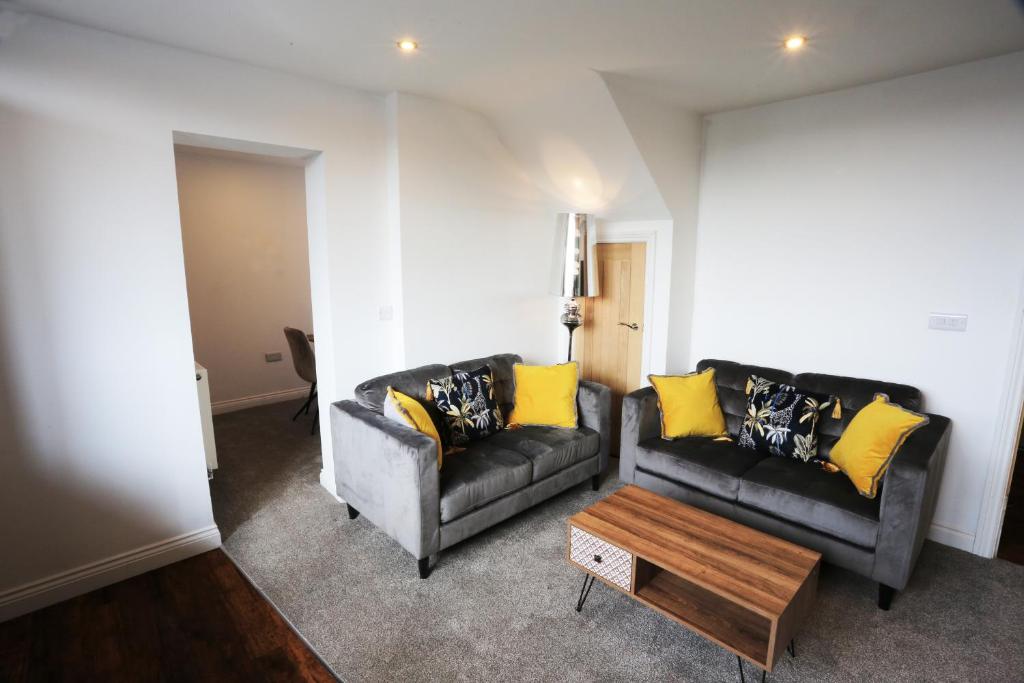
Hotl Aparts at The Deal House
Castle View Guest House

Dealhouse Apartments 1
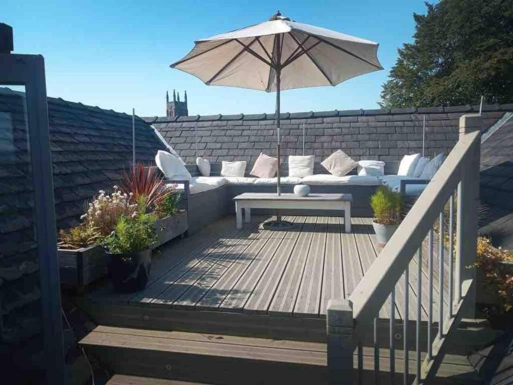
Luxury 3 bedroom penthouse w massive roof terrace
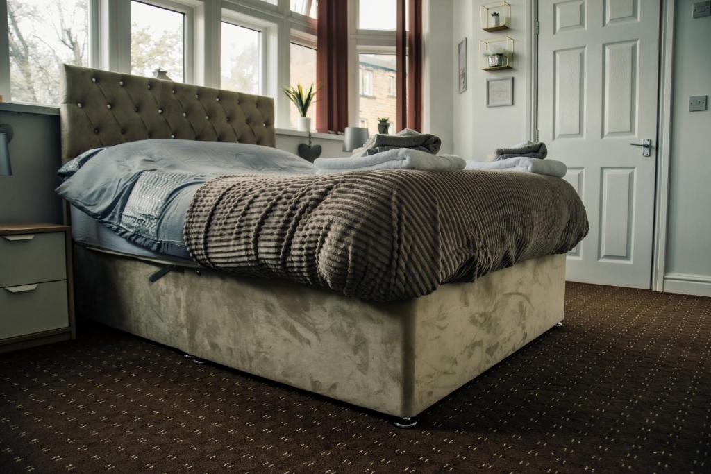
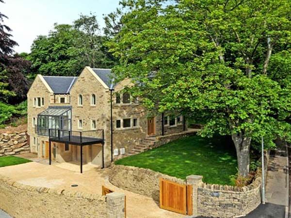
Clouds Hill
Browse by Type
Things to Do in Kirkheaton
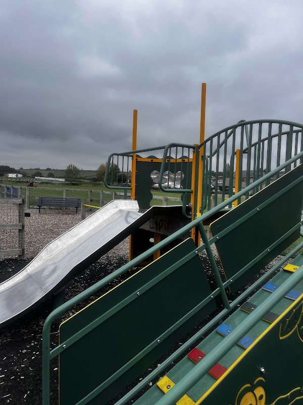
Kirkheaton Youths Football Club
Kirkheaton Youths Football Club offers convenient parking options for visitors attending matches or events at the club. Located in the charming village of Kirkheaton, the facility provides easy access to the well-maintained football pitch and nearby playground, making it a great spot for families and sports enthusiasts.
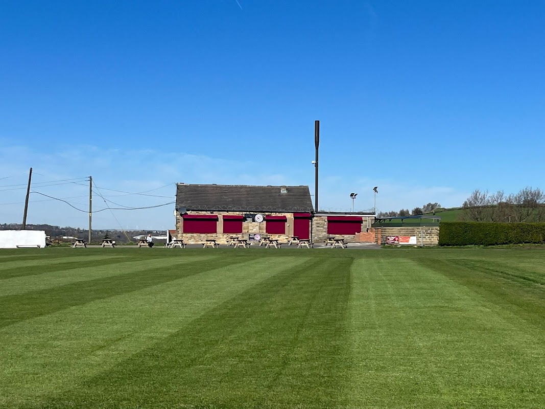
Kirkheaton Cricket and Bowling Club
Located in the charming village of Kirkheaton, the Kirkheaton Cricket and Bowling Club offers a delightful setting for sports enthusiasts and visitors alike. While enjoying the scenic views over Huddersfield, guests can relax in a friendly atmosphere, making it an ideal spot for family outings and functions. Please note that parking is likely pay-and-display, so be prepared for standard parking fees.
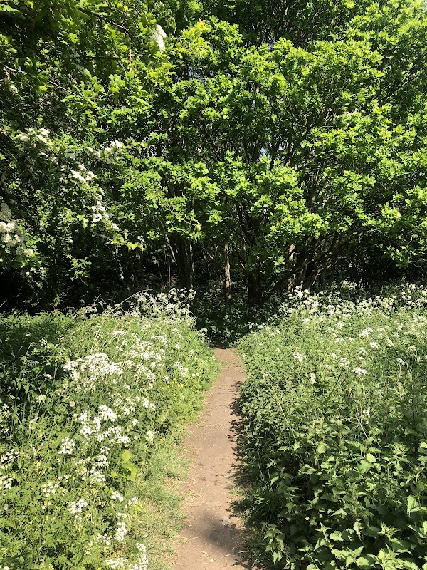
Quarry Woods
Discover Quarry Woods in Mirfield, a popular local woodland enjoyed by dog walkers and families for games and strolls.
Food & Drink
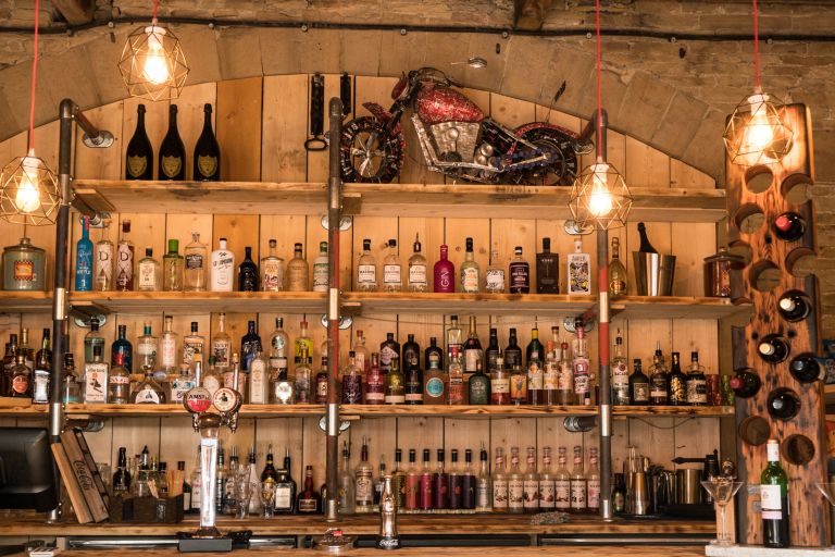
Beaumont Arms
The Beaumont Arms, located in the charming village of Kirkheaton near Huddersfield, offers a welcoming atmosphere with its bustling pub setting. While specific parking details are not mentioned, visitors can expect standard pay-and-display parking options typical for the area. This makes it convenient for tourists to enjoy the delightful meals and friendly service at this popular local establishment.
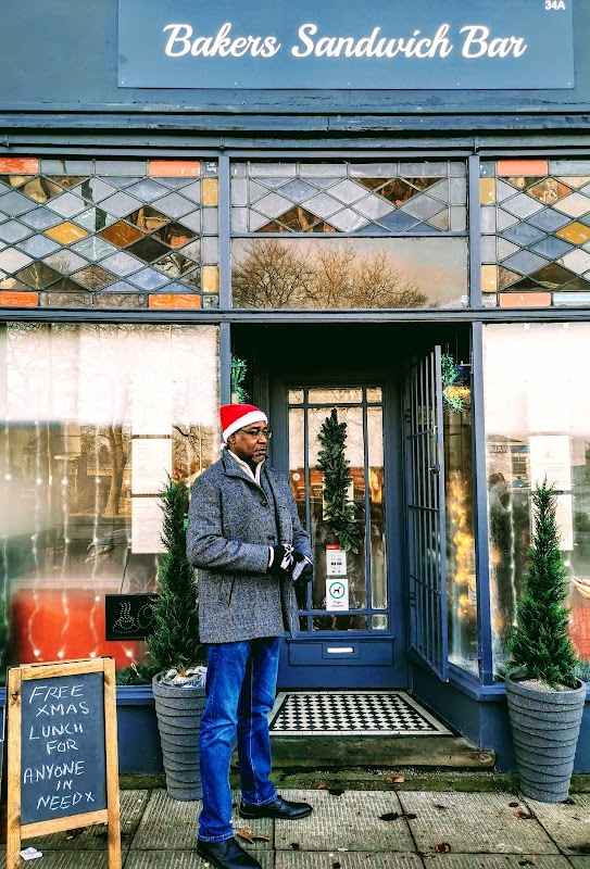
Bakers Sandwich Bar
Bakers Sandwich Bar in Mirfield is a highly-rated local favourite for delicious, freshly made sandwiches and friendly service.

Interactive Map
View accommodation, attractions, restaurants, and events on the map
Geographic Facts
This village is geographically within the following regions:
- Population
- 3,496
- Administrative area
- Kirkburton
- Dialing code
- 01484
Data sourced from Wikidata and verified public records
Upcoming Events in Kirkheaton
View All Events in Kirkheaton →




Walkshire in Kirkheaton
More Walks in Kirkheaton →
Walk: Farnley Hey and Castle Hill
A wonderfully exhilarating walk across the countryside to the south east of Huddersfield. The Route what3words for start point: ///each.shiny.else Start Point: Bus stops on Ashes Lane / Longley Lane, Huddersfield HD4 6TE Finish Point: HD4 6TE Distance: 4 Miles GPX Route Map walkshirefarnleyheyandcastlehillDownload Walk Description From either of the two bus stops on Ashes Lane, walk away from the side road of Longley Lane, and turn left down Clough Hall Lane. Walk all the way down the lane and turn left at the stile. Follow the hedgerow on the right and when the gate into the next field shows on the right, continue straight ahead with a wall on the right and tidy hedgerow on the left. Follow the boundary of the fields until you join a snicket which leads to Wheatroyd Lane. Turn right and follow Wheatroyd Lane almost to its end, where you’ll see a gap in the well-maintained hedges on the left. Take this and follow the clear path around the edge of the trees to reach an access road for a house. Turn right and walk all the way down this access road until you reach Lumb Lane. Turn left here, and then right at the junction with Sharp Lane. Carefully follow Sharp Lane, as there isn’t a pavement, and follow it as it becomes Bank Foot Road. Just after crossing Lumb Dike on a bridge, turn right down an access road clearly marked with a public footpath sign. Take the clear through route between the various buildings, and follow this visible path through the trees and into the wood. Go through the wood, and when you emerge, turn left to follow the boundary of the fields, keeping to the left of the hedgerow when it appears. Pass through the trees at right angles, and continue to follow the boundary of the fields, until a diagonal path is visible crossing the field on the right side of the boundary. Join the access road at Fernley Hay, and around half way down it, turn right following the public footpath sign into the field. Follow the clearly defined path through the field, which passes between three trees before turning slightly to the right. Follow this path into the next field and then head to the right. As the access road turns to the left, turn right down the public footpath between walls. At the junction of paths, go left slightly and continue to follow the wall on the right in a heading taking you to the right of Castle Hill. Eventually, you reach Lumb Lane over a stile. Here, turn left and follow the road around the side of the castle past the laybe on the left. Turn right and climb the steps to the top of the hill to look at the impressive castle tower. Head past into the car park, then turn right down the access road, and then left down either of the paths off the access road. At the junction of paths, turn right and head to the left of the collection of trees, and then follow the boundary of the fields to reach a lane, which eventually returns you to Clough Hall Lane. Turn left, walk up the lane, then turn right to head back to the bus stops.

Walk: Huddersfield Broad Canal
Enjoy this 4 mile stroll on the Huddersfield Broad Canal built as the connecting canal for the long distance Huddersfield Narrow Canal and the Calder and Aire navigation through the town centre. The Route what3words for start point: ///hoot.seats.fried Start Point: Huddersfield Finish Point: Bradley Distance: 4 Miles GPX Route Map huddersfield-broad-canalDownload Walk Description A peaceful and tranquil walk through the industrial heartland of Huddersfield's past. The walk starts in the centre of the town and winds it's way up to Bradley. Make sure you look out for all the former warehouses and canal building as you work your way on the canal. You can't miss the amazing engineering of the Turnbridge lift bridge, it's a marvel of the age! Towards the end of the end of this excursion you'll come to the 18th century Colne bridge another fine example of the period engineering still in use today.

Walk: Mirfield Boundary Walk
A fabulous stroll around the outskirts of the town of Mirfield, West Yorkshire - just near Dewsbury. The Route what3words for start point: ///useful.broke.jelly Start Point: Mirfield Finish Point: Mirfield Distance: 11 Miles GPX Route Map mirfieldboundarywalkDownload Walk Description An 11 mile circular route which can be started at many locations and also has options to cut short if the need arises. The route follows most of the former Urban District Boundary of Mirfield before the creation of Kirklees in 1974. The town has many historical and cultural links which the walk explores also passing the Star Inn, where a member of the Luddite rising was taken to die whilst seeking information from him. The site of the former Verona fathers catholic seminary now a world renowned school for those with profound challenges, looking across at the historic Kirklees estate from which the Metropolitan Council took its name but which ironically is outside their boundaries. We cross the River Calder on a former toll bridge and site of a historic ford, taking in views across the wider Pennines and on a clear day the power stations and Goole Docks to the East. Mirfield has industry, rail links and in recent years - thanks to Welcome to Yorkshire’s Grand Depart - saw our Ambassador Brian Robinson BEM recognised as Britain’s first Tour de France stage winner. It is also the birthplace of Hollywood legend Sir Patrick Stewart famous for playing Captain Jean-Luc Picard in Star Trek; The Next Generation. So why don't you boldly go and try out this great walk.