
Discover Langbaurgh
Langbaurgh is a hamlet located in North Yorkshire, England, within the TS9 postcode area. Governed by Redcar and Cleveland Borough Council, it lies at 54.4978 latitude and -1.1419 longitude. The area is known for its proximity to the North York Moors, offering visitors access to scenic landscapes and rural heritage.
Explore the map below to discover accommodation, attractions, restaurants, and live events across Langbaurgh. Scroll down to browse featured listings and plan your perfect visit.
Property in Langbaurgh
Browse homes and commercial listings for sale and to rent in Langbaurgh.
Stay in Langbaurgh
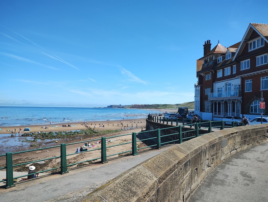
The Engine Shed at Battersby
The Engine Shed at Battersby offers a unique lodging experience in the picturesque setting of Battersby, near Middlesbrough. While parking details are not explicitly mentioned, visitors can expect typical pay-and-display options in the area. Enjoy a tranquil stay with easy access to the stunning North Yorkshire countryside.
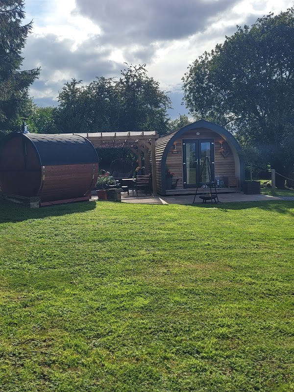
Four Wynds Bed and Breakfast
Located in the charming village of Faceby, Four Wynds Bed and Breakfast offers a cozy retreat for travelers exploring the Yorkshire countryside. While the parking specifics are not detailed, visitors can expect standard pay-and-display options typical of rural accommodations. Enjoy the warm hospitality and convenient access to nearby walking paths and local attractions.

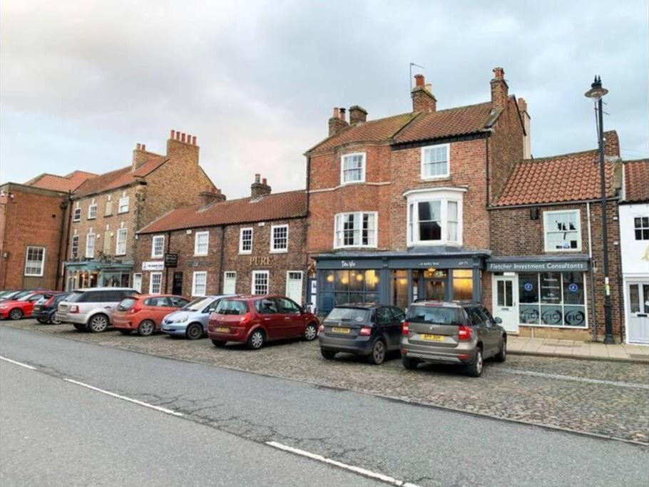
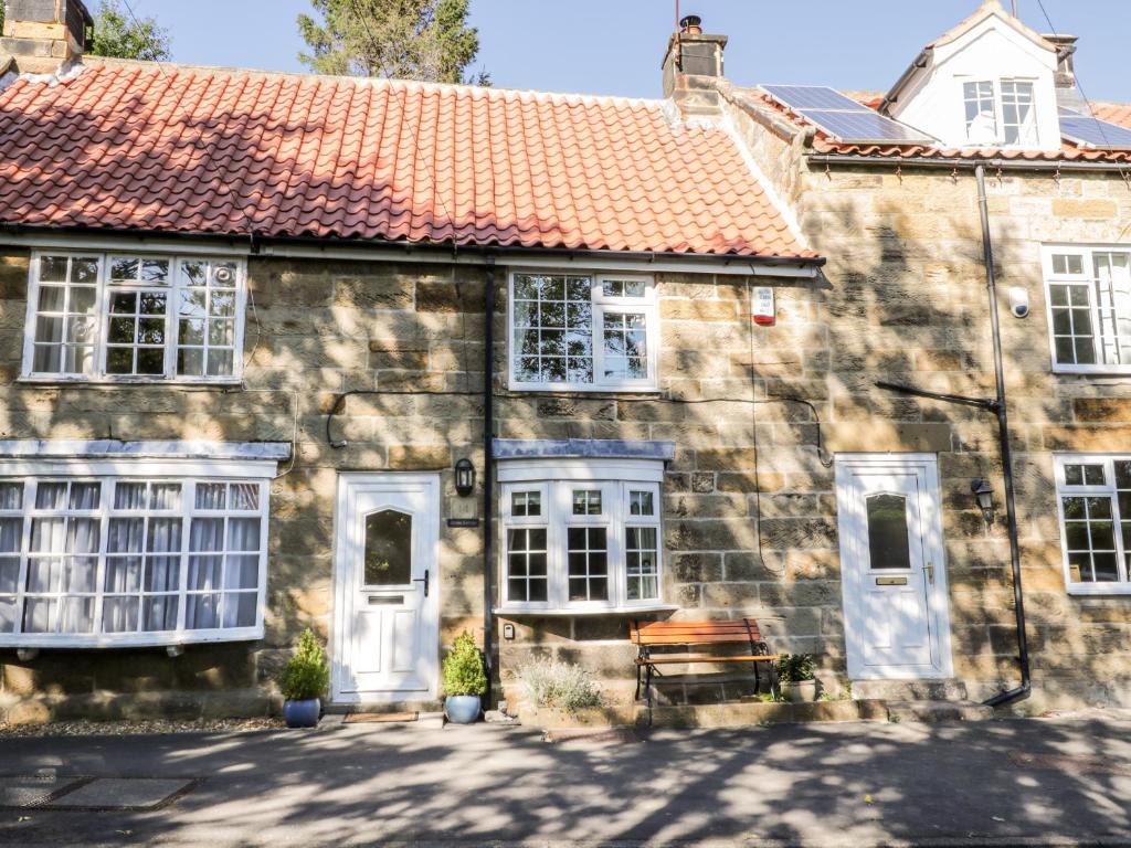
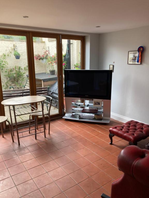
Charming 1-Bed Studio in Middlesbrough
Things to Do in Langbaurgh
K9 Fun-Time
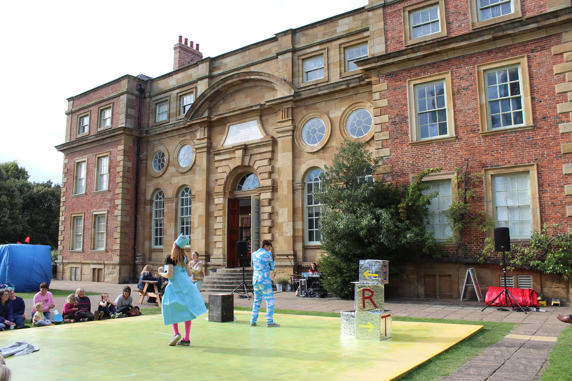
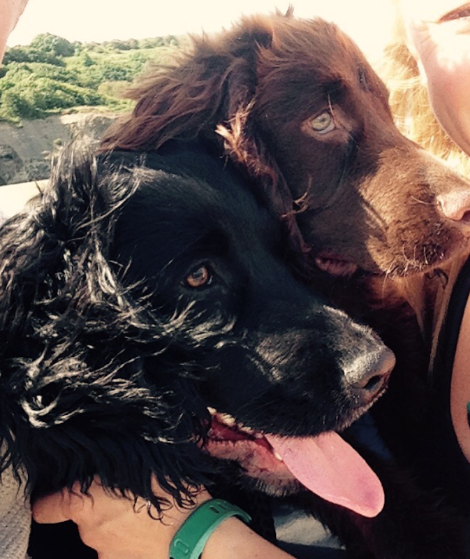
K9 Fun-Time in Hutton Rudby offers a delightful experience for dog owners and their pets, featuring both indoor and outdoor areas designed for exercise and mental stimulation. Located on Sexhow Lane, this facility is easily accessible and provides a safe environment for dogs to run free and enjoy various activities. The friendly staff are always on hand to ensure a pleasant visit.
The Wainstones
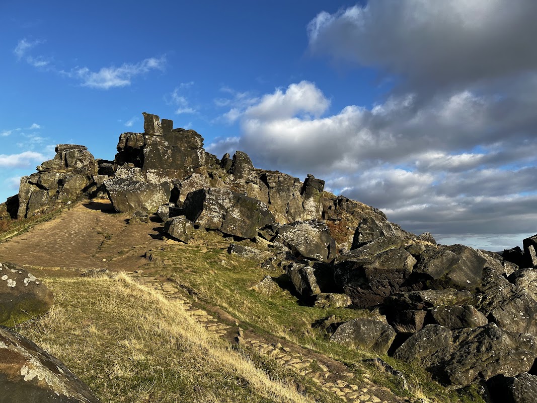
Conquer the dramatic Wainstones, offering challenging walks and unparalleled vistas across the North York Moors.
Food & Drink
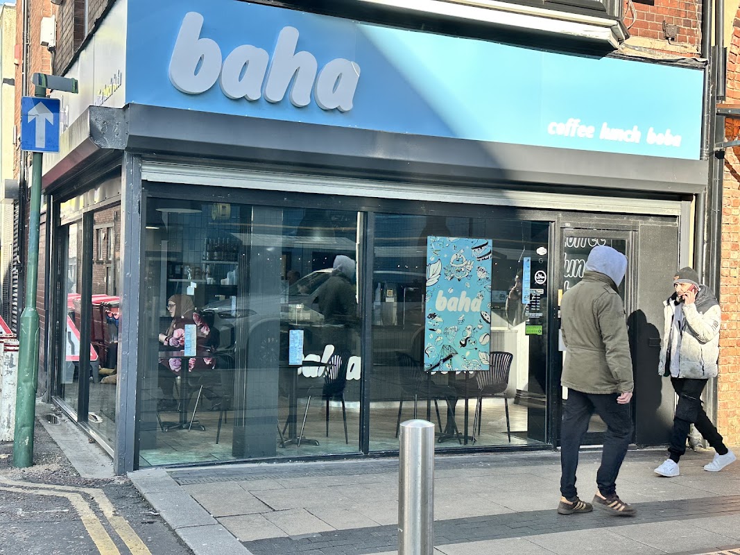
Baha
Discover Baha Cafe in Middlesbrough, a welcoming spot offering a range of cafe favourites and refreshing boba drinks.

DISCO INFERNO Mobile Disco and karaoke Middlesbrough stockton
Bring the party to your event with Disco Inferno, offering mobile disco and karaoke services across Middlesbrough and Stockton.

Interactive Map
View accommodation, attractions, restaurants, and events on the map
Areas of Langbaurgh
Explore the different areas and suburbs of Langbaurgh
Geographic Facts
This city is geographically within the following regions:
Upcoming Events in Langbaurgh
View All Events in Langbaurgh →




Latest news from Langbaurgh
All Local News →
From Local Farm to National Shelves: How a North Yorkshire Rapeseed Oil Business Wins Listing with Garden Centre Chain
A North Yorkshire farm business, Charlie & Ivy's, has landed a major nationwide listing! Find their award-winning rapeseed oil bread dippers in Dobbies now.
Walkshire in Langbaurgh
More Walks in Langbaurgh →
Walk - Roseberry Topping & Captain Cook's Monument
Explore one of the North York Moors’ most iconic landscapes on this circular walk from Great Ayton. Combining the distinctive summit of Roseberry Topping with the historic Captain Cook’s Monument, this route rewards walkers with panoramic views, woodland trails and rolling moorland scenery. National Park: North York Moors – North York Moors WestCounty/Area: North Yorkshire & Redcar and ClevelandLength: 6.5 miles / 10.6 kmAscent: 1200 feet / 364 metresGrade: Easy/Moderate Start: OS Grid Reference NZ574108Lat: 54.4893Long: -1.115428Postcode: TS9 6HQ (approx. location only)what3words: slam.asked.instant GPX Route Map roseberry-topping-captain-cookDownload Route Outline This popular North York Moors walk begins in the pretty village of Great Ayton, winding through woodland and open countryside to the dramatic peak of Roseberry Topping. With its striking shape and sweeping views, it’s one of Yorkshire’s most recognisable landmarks. After enjoying the summit panorama, the route continues across moorland paths to Captain Cook’s Monument — an obelisk dedicated to the famed explorer who spent his boyhood in Great Ayton. From here, gentle woodland tracks and field paths complete the circuit back to the village. This route offers a satisfying mix of scenery and heritage, perfect for a half-day walk in the heart of the North York Moors.

Walk: Eston Nab
Situated to the east of Middlesbrough this 800ft hill gives stunning views of the Yorkshire coast line and the North York Moors. The Route what3words for start point: ///finger.sorry.rail Start Point: Ormesby Finish Point: Ormesby Distance: 3 Miles GPX Route Map eston-nabDownload Walk Description This is a moderate climb up to the summit along a clear path, however it does have benches to rest on the way and the path is steep in places so please be weary of this before you set out. On the way to the top there are some interesting and historic things to spot and explore. The Nab was the site of a look out in the Napoleonic wars. protecting the coast and port of Middlesbrough from attack. The ruins of this are now known as the Eston Nab monument. There are also bronze age mounds and Iron age settlements that add even more flavour to the history of the location.