
Discover Linton
Linton is a village located in North Yorkshire, governed by North Yorkshire Council (formerly Craven). With a population of 176, it falls within the BD23 postcode area. Linton is noted for its proximity to the Yorkshire Dales National Park, providing access to stunning landscapes and outdoor recreational activities.
Explore the map below to discover accommodation, attractions, restaurants, and live events across Linton. Scroll down to browse featured listings and plan your perfect visit.
Property in Linton
Property in Linton will appear here once listings are ingested.
Stay in Linton
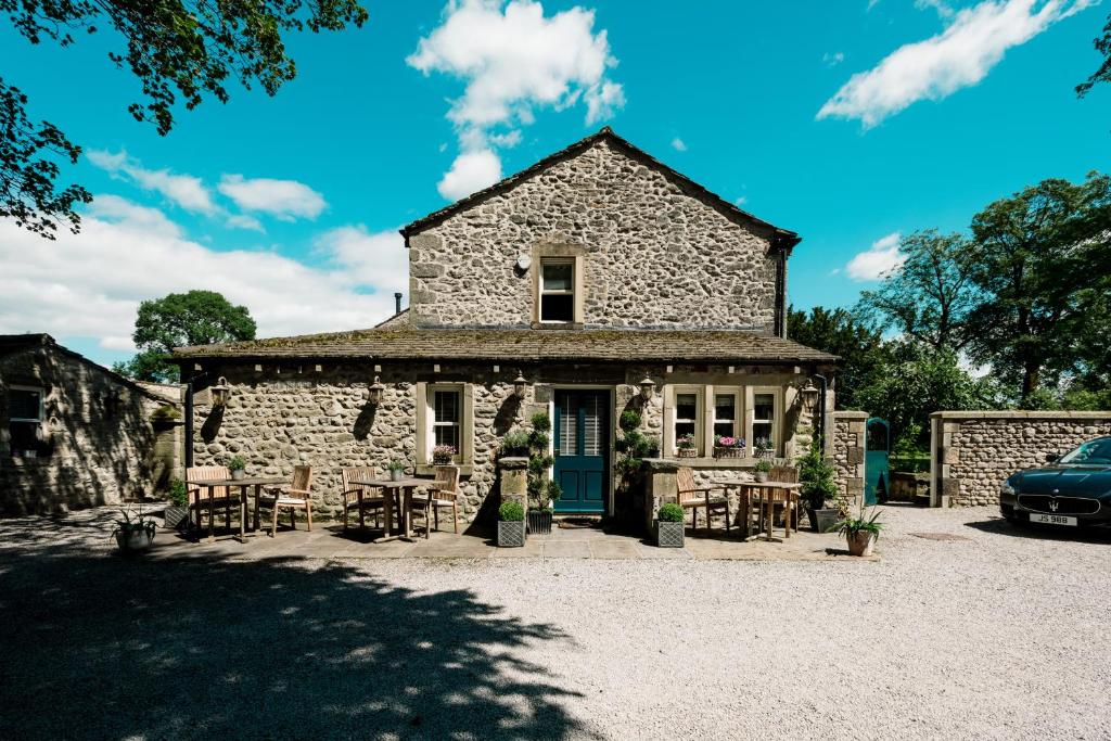
The Rectory Rooms, Studio 4
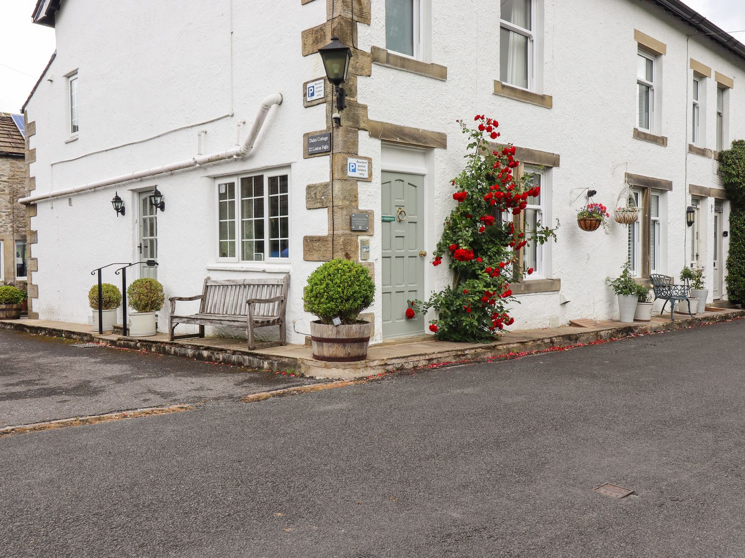
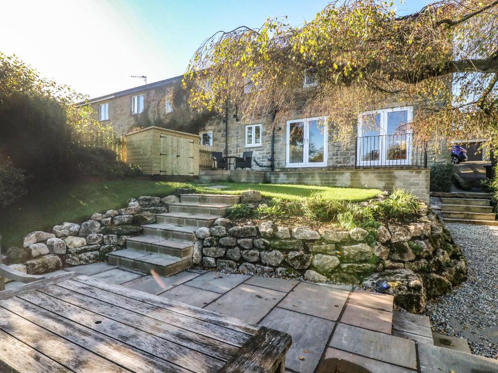
Dales Cottage
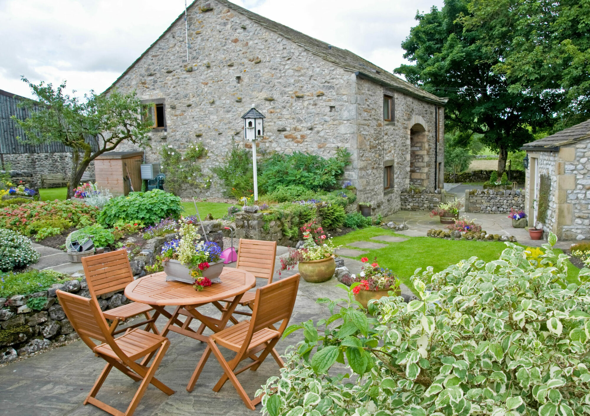
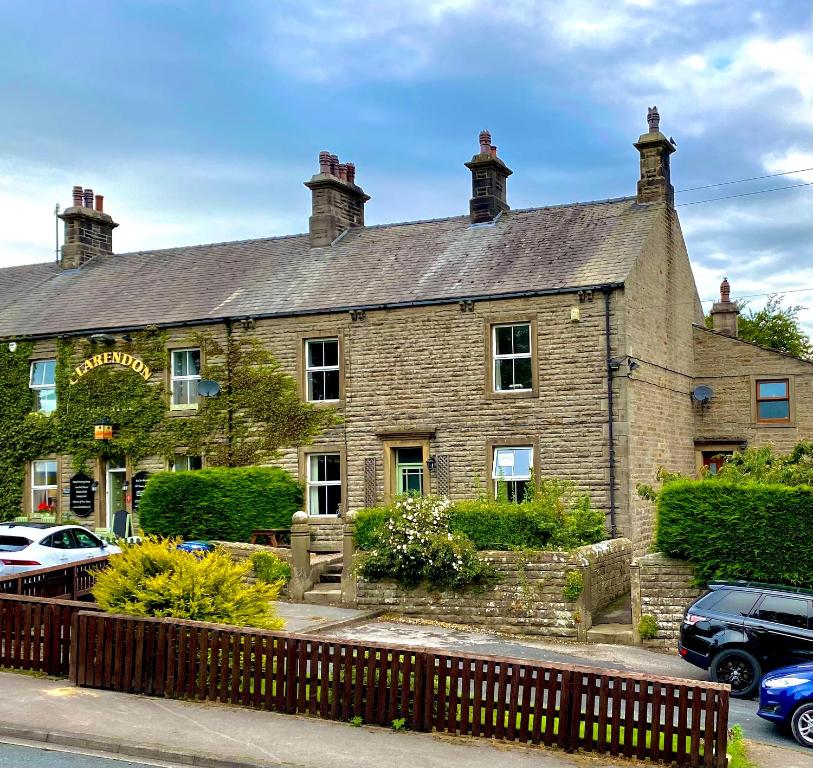
Flatts farm, Yorkshire dales home
Browse by Type
Things to Do in Linton
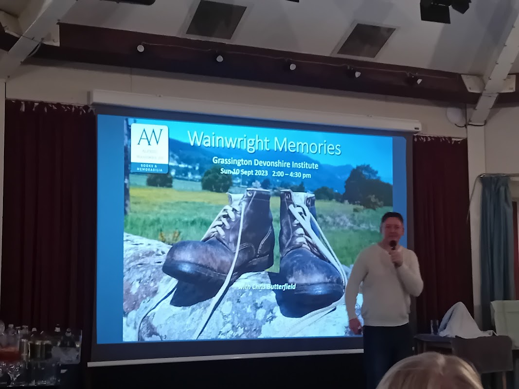
The Octagon Theatre
Discover The Octagon Theatre in Grassington, a charming venue renowned for its diverse events and welcoming atmosphere.
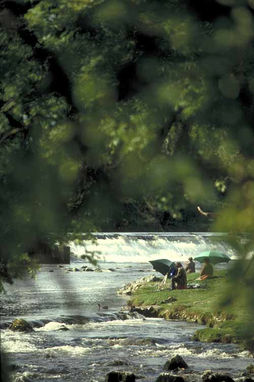
Grassington Tourist Information Centre

Grassington Academy of Performing Arts
Discover a vibrant hub for performing arts and dance lessons for children in the picturesque village of Grassington.
Food & Drink
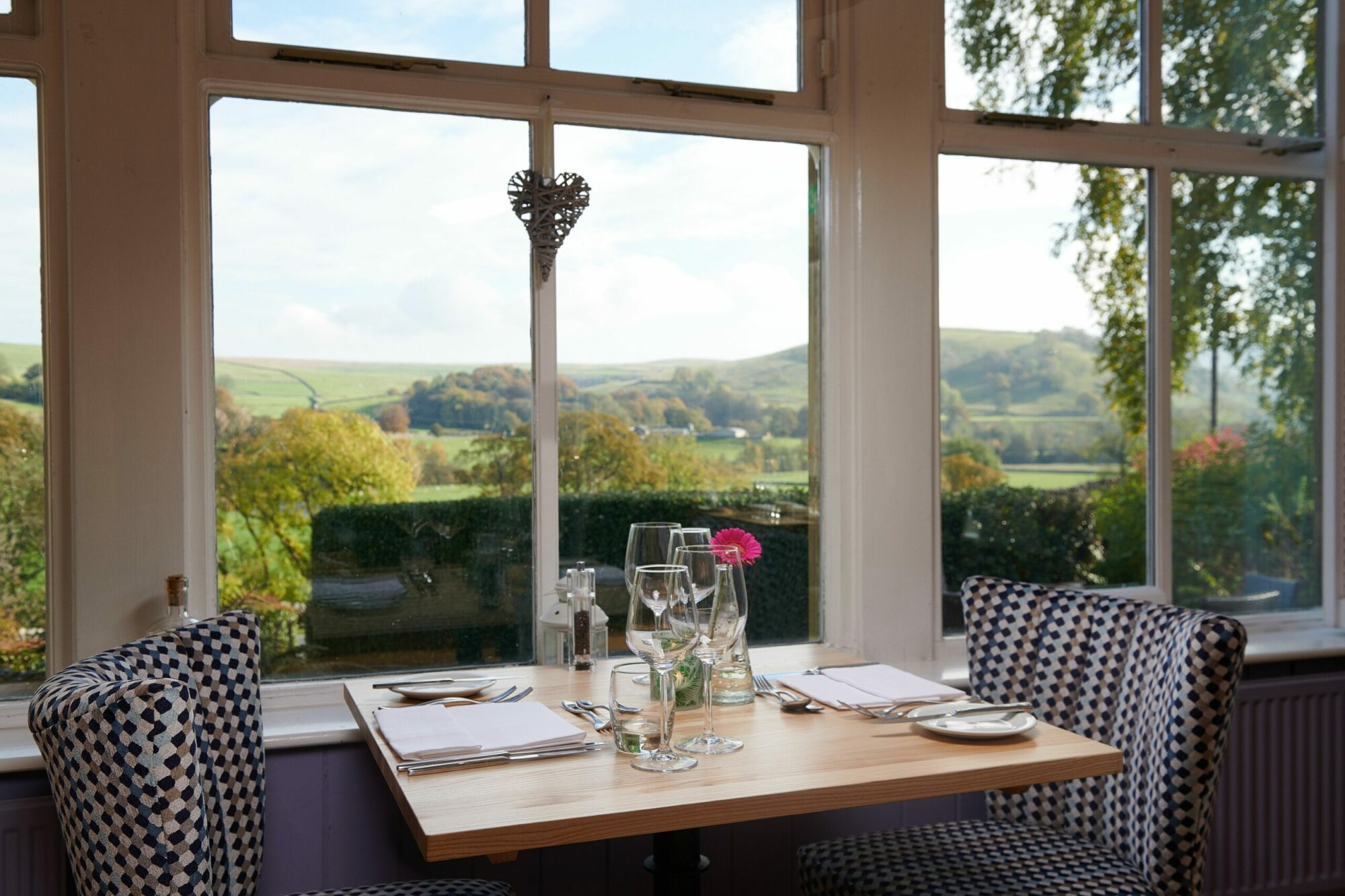
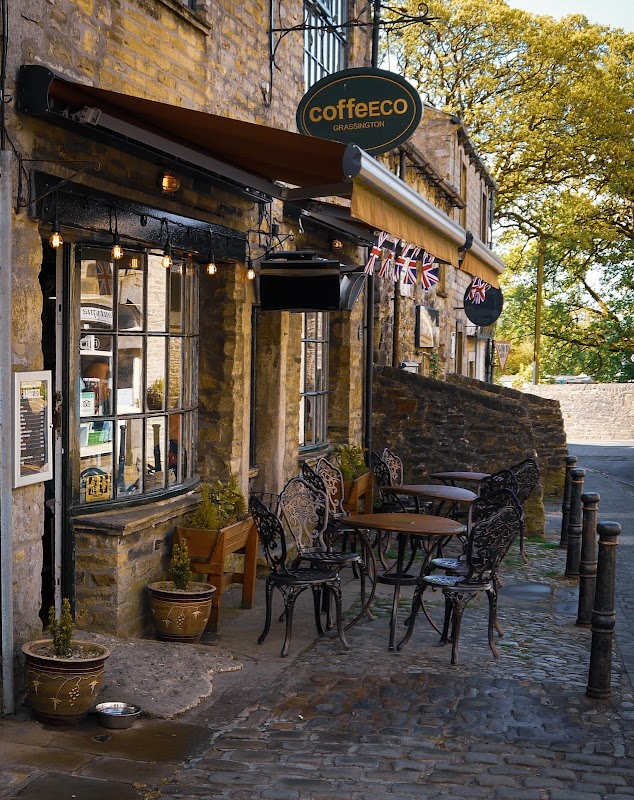
CoffeECO
CoffeECO is a highly-rated, dog-friendly cafe in Grassington, perfect for delicious breakfasts, hot drinks, and tempting treats.

Shell
Refuel and refresh at Shell Threshfield, a convenient petrol station offering essential services for your journey through the Dales.
Browse by Type

Interactive Map
View accommodation, attractions, restaurants, and events on the map
Geographic Facts
This village is geographically within the following regions:
- Population
- 176
- Postcode
- BD23
- Administrative area
- North Yorkshire
Data sourced from Wikidata and verified public records


Latest news from Linton
All Local News →
From Local Farm to National Shelves: How a North Yorkshire Rapeseed Oil Business Wins Listing with Garden Centre Chain
A North Yorkshire farm business, Charlie & Ivy's, has landed a major nationwide listing! Find their award-winning rapeseed oil bread dippers in Dobbies now.
Walkshire in Linton
More Walks in Linton →
Walk: Burnsall & Troller’s Ghyll
A walk through Burnsall, Troller’s Ghyll, Parceval Hall, Howgill and over the River Wharfe. The Route what3words for start point: ///professes.desktops.trickle Start Point: Burnsall, Wharfedale Finish Point: Burnsall, Wharfedale Distance: 8.3 Miles GPX Route Map burnsall-and-trollers-ghyllDownload Walk Description Troller's Ghyll Legends and folklore make for a fascinating walk. Amongst the hills and valleys near the village of Appletreewick is a limestone gorge so dark and forbidding that our ancestors once feared it. They believed it to be the haunt of trolls, hence its name of Trollers Ghyll. According to legend these trolls, or mischievous fairies, roll stones down the steep hillside onto the heads of unwary walkers! A more sinister tale is told of a wolf-like beast that lives in a cave in this ravine, with large fangs and staring eyes the size of saucers. This is the infamous Barguest, which preys on unsuspecting travellers – if your eyes meet then it is certain death! These legends have their origins in Norse mythology. Just above Trollers Gill are the crumbling remains of Gill Head Mines, the last working underground mines in the Yorkshire Dales. Lead was mined here between the 18th Century and the early 1900s; however, it reopened in the 1920s as a fluorspar mine which then continued in production until 1981. The surrounding moors are littered with the remains of the lead mining industry that once flourished in this area. Lead mining can be traced back to the Romans, although it was during the 18th and 19th Centuries that the mines were developed on a large-scale commercial basis with the advent of new mining and pumping technologies. Many years ago a pig of lead was discovered on the flanks of Nursery Knot with the Roman inscription of ‘Trajan’ on it, although this has since been lost.

Walk: Grassington, Grass Wood, Conistone Dib and Lea Green
A walk around Grassington, Ghastrill’s Strid, Grass Wood, Conistone Dib and Lea Green in the Yorkshire Dales. The Route Start Point: Grassington, Wharfedale Finish Point: Grassington, Wharfedale Distance: 8.5 Miles GPX Route Map grassington-conistone-and-lea-greenDownload Walk Description Grassington is an attractive small town set amongst the rolling hills of Upper Wharfedale, a popular tourist destination due to its picturesque cobbled square, stone cottages and winding alleyways. From Grassington, our route follows the River Wharfe to the impressive limestone rapids of Ghastrill’s Strid (admire from a safe distance), before reaching Grass Wood. This ancient swathe of woodland once formed part of the much larger forest of Wharfedale and has many indigenous tree species and almost 400 species of flowers and plants, thus meriting Nature Reserve status. It is a truly magical place to explore in spring. Beyond Grass Wood our path traverses the dry limestone gorge of The Dib, a glacial meltwater channel, before reaching Conistone, an attractive Craven village that boasts many fine old farmhouses, a large maypole and the oldest church in the southern Dales that dates back to pre-Conquest times. St Mary's Church still has some pre-Norman arches as well as wealth of other interesting features including a poor box. In the graveyard is a sad memorial to a group of young men who were killed in a tragic pot-holing accident at Mossdale Cavern in 1967. From Conistone, a footpath leads up through the spectacular dry limestone valley of Conistone Dib, one of the ‘natural wonders’ of the Yorkshire Dales. This deep steep-sided gorge was scoured out by glacial meltwaters towards the end of the last Ice Age when the permafrost prevented the water from seeping down through the limestone bed-rock. In places, Conistone Dib closes in to little more than a narrow passage beneath towering limestone crags. This whole area boasts some wonderful limestone scenery with pavements, dry valleys, crags and outcrops all around. From Conistone Dib, the return leg of this walk crosses Lea Green and the remains of one of the largest Iron Age settlements in England. This was occupied from 200BC until 400AD, surviving throughout the Roman occupation because of its secluded situation high on the hills. Rectangular fields, hut circles and traces of roads can be clearly seen, although to the untrained eye it appears to be a very rough scattering of fields covered with lots of grassy bumps! As with many other archaeological sites, the true picture only really comes to life when viewed from the air.

Walk: Burnsall and Thorpe
Follow the lovely banks of the River Wharfe to Linton Falls before heading across rolling Dales countryside linking villages and hidden valleys. The Route what3words for start point: ///turkey.exactly.improvise Start Point: Burnsall Finish Point: Burnsall Distance: 8 Miles GPX Route Map burnsall-and-thorpeDownload Walk Description Burnsall is an attractive village with a large village green beside the River Wharfe surrounded by old stone cottages. Of particular note is St Wilfred’s Church, which dates back to the 9th Century as many Anglo-Scandinavian crosses and gravestones have been found in the area. Beside the church is the village school, founded as a Grammar School in 1602 by Sir William Craven, Yorkshire’s very own Dick Whittington who set out from Appletreewick to travel to London to seek his fortune. This he did, and rose to become Lord Mayor of London. He never forgot his roots and gave generously to many local projects. We follow the River Wharfe northwards, an attractive stretch of riverside; the word ‘wharfe’ comes from the Old Norse and means ‘winding river’. We soon reach Loup Scar, a small limestone gorge which holds a dark secret. Back in the 18th Century Tom Lee was the blacksmith at Grassington, and notorious robber. Dr Petty knew as much, and threatened to tell the authorities, however, after an evening at a Kilnsey hostelry, Lee murdered Dr Petty on his way home through Grass Wood and threw his body into the Wharfe at Loup Scar. He was only caught after his servant broke down and confessed, and Lee was sentenced to death. We follow the Wharfe all the way to reach Linton Falls, where the river tumbles over limestone ledges formed by the Craven Fault. Note the weir and mill race that once provided power for Linton Mill. The river is left behind on the way to Linton, with its attractive green, stream and old houses. At one end of the green stands Fountaine Hospital, a fine Georgian building reputedly designed by Vanbrugh. The Hospital incorporates six almshouses and was endowed by Richard Fountaine in 1721 for six poor of the parish. Richard Fountaine made his fortune as a timber merchant and coffin maker in London during the Plague of 1665 and Great Fire of 1666, and became an Alderman of the City. From Linton, the route heads between the the grassy hills of Elbolton and Stebden Hill, which were formed as coral reefs 350 million years ago in a tropical sea. These hills shelter the ‘secret valley’ that leads down to the hidden village of Thorpe. During the troubled times of the Middle Ages, local people would seek refuge from raiders in this village.

Walk: Grassington
This easy walk takes you around the quaint village of Grassington and along the River Wharfe. The Route what3words for start point: ///elections.slyly.cricket Start / Finish Point: Grassington National Park Centre, Hebden Rd, Grassington, Skipton BD23 5LB Distance: 1 Miles GPX Route Map drawaroute-6Download Walk Description An easy access walk by the River Wharfe close to the lovely village of Grassington. A gate at the lower end of the car park gives access to a walled lane. The route here is well-surfaced with some gradients reaching a 1:7. Follow the river to the right along an unsurfaced route. From here, turn right onto the main road into Grassington where the first 50m are a 1:6 gradient. Take a moment to look at Linton Falls.