
Discover Lothersdale
Lothersdale is a village located in the Craven district of North Yorkshire, governed by North Yorkshire Council (formerly Craven). Home to around 560 residents, it falls within the BD20 postcode area. Visitors will find it lies within scenic landscapes, offering access to numerous walking trails and historical sites.
Explore the map below to discover accommodation, attractions, restaurants, and live events across Lothersdale. Scroll down to browse featured listings and plan your perfect visit.
Property in Lothersdale
Explore property in Lothersdale — homes and commercial listings for sale and to rent. Start with detached houses.
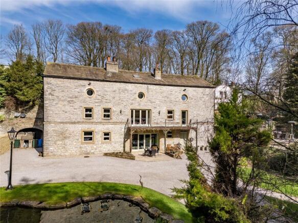
5 Bed Detached House - Raygill, Lothersdale
£995,000
Browse by type
Stay in Lothersdale
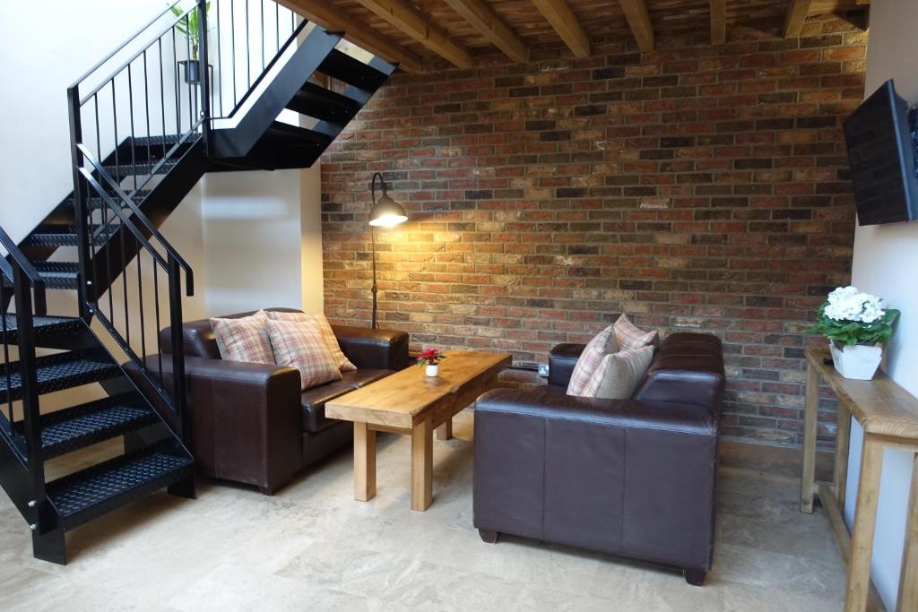
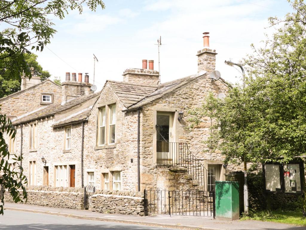
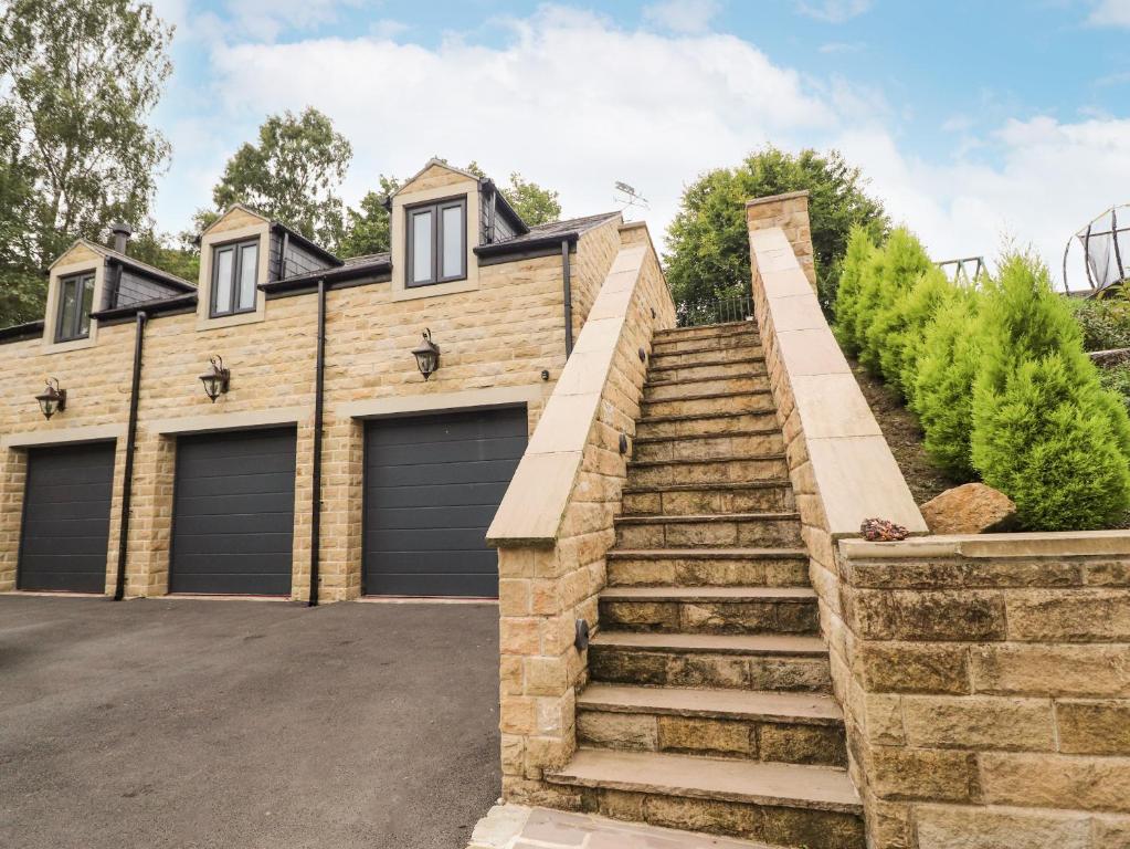
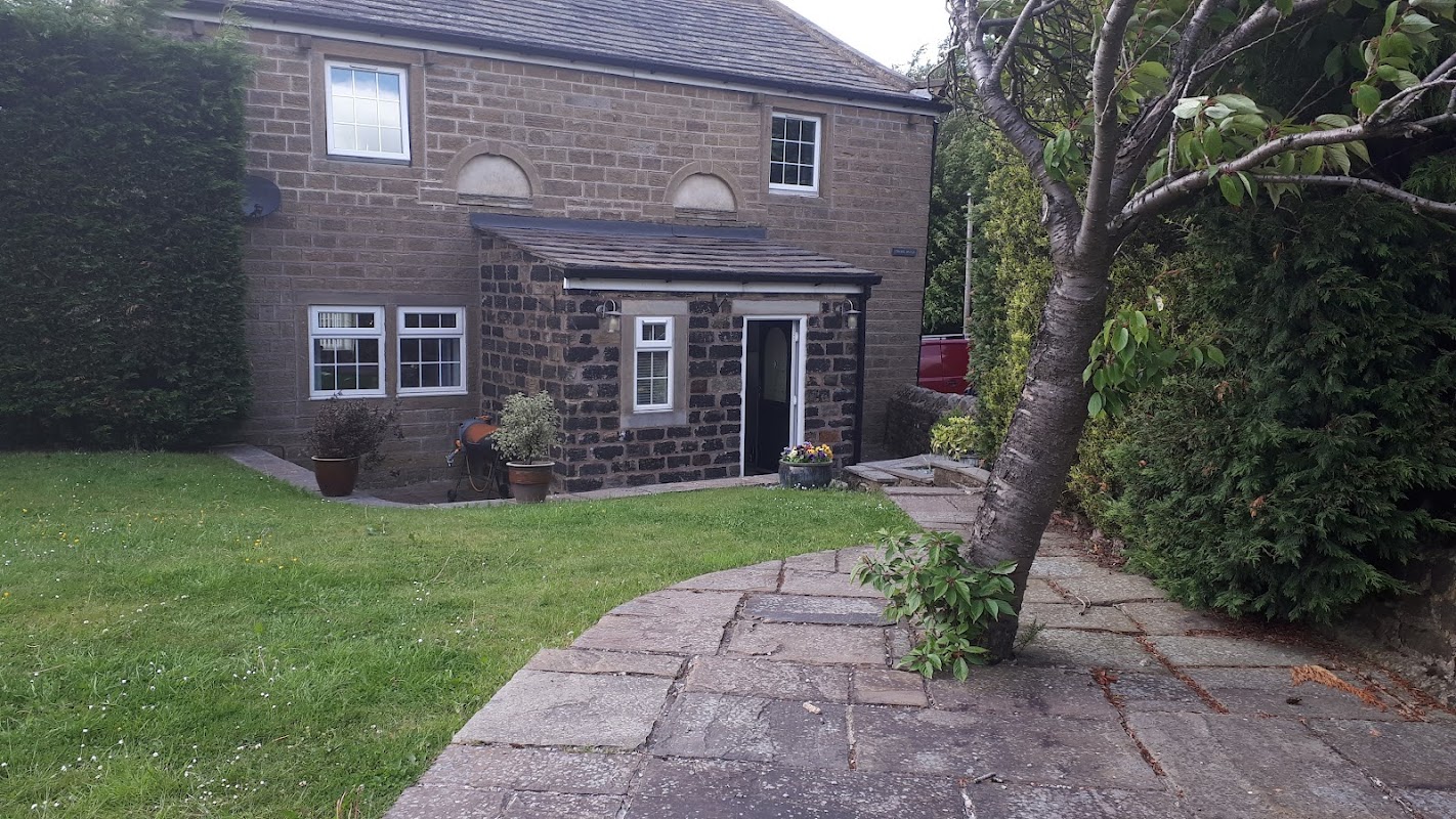
The Workshop, in 18th century Lothersdale Mill
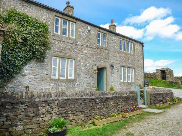
Street Head Farm
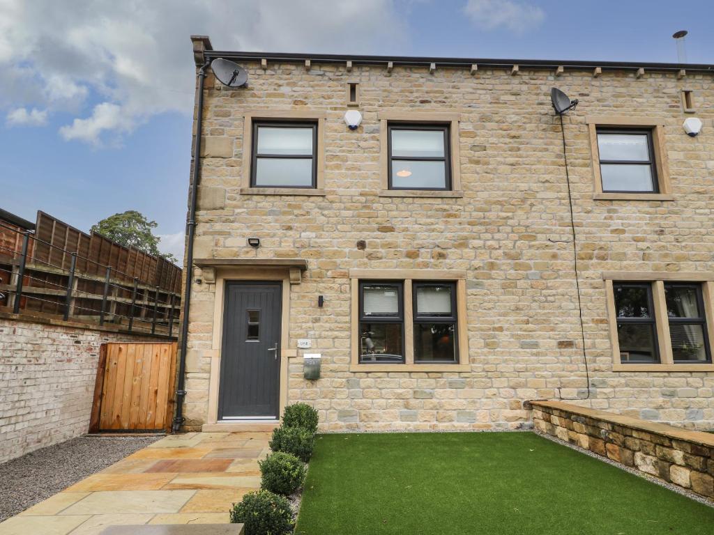
Things to Do in Lothersdale
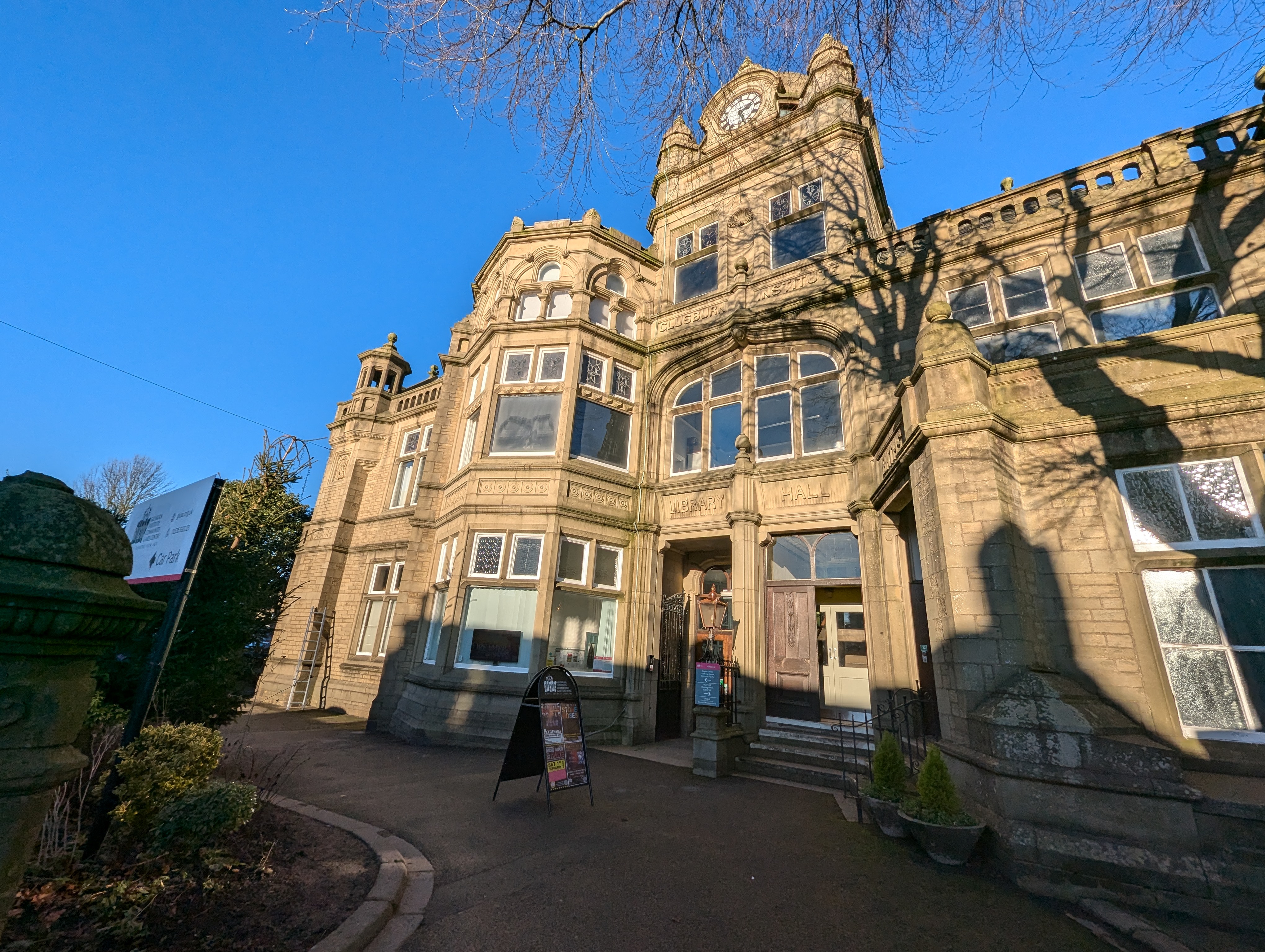
Glusburn Institute Community & Arts Centre
Friendly local arts venue with live shows, classes and hire spaces – a welcoming place to connect, create and celebrate together in Yorkshire.

Cowling Village Hall
Cowling Village Hall offers convenient parking in the charming village of Cowling, near Keighley. While primarily serving as an event venue, it provides easy access for visitors attending community events or exploring the local area. With its welcoming atmosphere and essential amenities, it's a practical choice for tourists visiting this picturesque part of Yorkshire.
Food & Drink
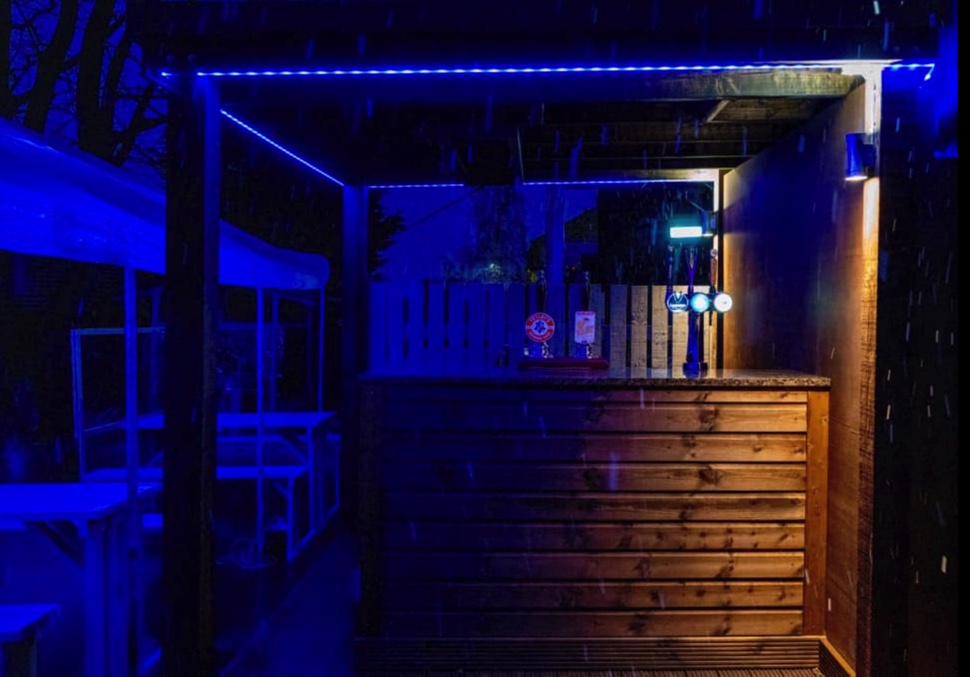
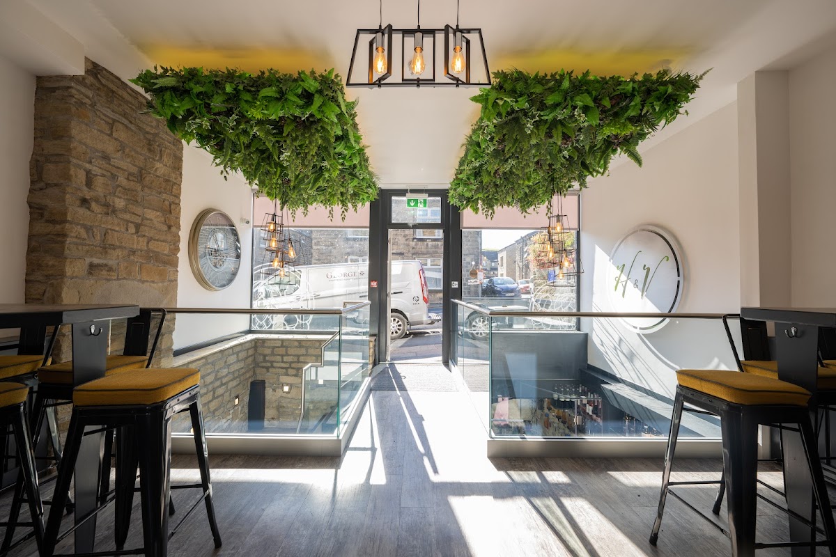

Sam's Pizzas
For hot, fresh, and reasonably priced pizzas with quick service in Cowling, Sam's Pizzas delivers a satisfying takeaway experience.
Browse by Type

Interactive Map
View accommodation, attractions, restaurants, and events on the map
Geographic Facts
This village is geographically within the following regions:
- Population
- 560
- Postcode
- BD20
- Administrative area
- North Yorkshire Council (formerly Craven)
- Dialing code
- 01535
Data sourced from Wikidata and verified public records
Upcoming Events in Lothersdale
View All Events in Lothersdale →





Latest news from Lothersdale
All Local News →
From Local Farm to National Shelves: How a North Yorkshire Rapeseed Oil Business Wins Listing with Garden Centre Chain
A North Yorkshire farm business, Charlie & Ivy's, has landed a major nationwide listing! Find their award-winning rapeseed oil bread dippers in Dobbies now.
Walkshire in Lothersdale
More Walks in Lothersdale →
Walk: Ducks and Drakes by Carleton in Craven
Just outside Skipton, this very short walk takes in Carleton Beck and the River Aire. The Route Start Point: The Swan Inn, Carleton in Craven Finish Point: The Swan Inn, Carleton in Craven Distance: 1 mile GPX Route Map ducks-and-drakeDownload Walk Description what3words for start point: ///recap.overpaid.feasted The Swan Inn is a great place to start and end your walk. With the pub on your left walk down Swan Street. You’ll notice that each terrace of houses is different and have their own style. These houses were built in the 1800s and 1900s. Louvain Terrace was built after the destruction of Louvain in the First World War. Walking past the Post Office you’ll come to Vicar’s Row. The cottages here celebrate the Reverend Jelf. This energetic Oxford scholar arrived in Carleton in 1849 and is responsible for their construction. Cross the beck with Brook View and Beckside on your left. The beck here, Catlow Gill runs through the centre of the village and into the River Aire. This is a great place for your dog to drink. On Easter Monday you would see excited children here watching hundreds of plastic ducks race through the village. Walking on, you’ll pass Carleton Old Hall. Take a look at the two dates in the date stone. One marks the original construction and the second in memory of its renovation. It was built in 1584 by the Ferrands, it has that solid appearance of the home of a prosperous family. For many years they were the gatekeepers at Skipton castle.

Walk: Pennine Way National Trail
This iconic 268 mile walk takes you through three of England's finest national parks. The Route what3words for start point: ///mice.ages.improvise Start Point: Edale Finish Point: Kirk Yetholm Distance: 268 Miles GPX Route Map pennine-wayDownload Walk Description Embark on an epic journey along the Pennine Way, a majestic 268-mile trek that weaves through the heart of England's most captivating landscapes. Your adventure begins in the charming village of Edale, nestled in the rugged Derbyshire Peak District. From there, you'll set your sights northward, traversing the rolling hills and serene valleys of the Yorkshire Dales. As you journey onward, each step reveals the rich tapestry of England's natural beauty. You'll cross the historic Hadrian's Wall, a testament to ancient times, in the awe-inspiring Northumberland National Park. Your trek culminates in a triumphant arrival at Kirk Yetholm, a quaint Scottish village that marks the end of this extraordinary trail. Regarded as England's premier Long Distance Footpath, the Pennine Way is more than a hike; it's a pilgrimage through the soul of the Great North. While the path demands resilience and fitness, it generously rewards with unparalleled vistas and breathtaking landscapes. Highlights of this grand expedition include the surreal limestone pavements of Malham Cove and the towering trio of the Yorkshire Three Peaks. Traverse the mysterious moorlands bordering Yorkshire and County Durham, descending into the Tees Valley, where the river guides you past a cascade of awe-inspiring waterfalls. Your journey reaches a crescendo as you ascend to the edge of a dramatic canyon, offering a panoramic view over the Eden Valley that will etch itself into your memory forever. The Pennine Way is not just a walk; it's a journey through history, nature, and the depths of your own endurance, culminating in an experience that transcends mere physical achievement.