
Discover Luddenden Foot
Luddenden Foot is a village located in West Yorkshire, governed by Calderdale Council. It has a population of approximately 3,000 residents. The village is situated along the River Calder and has a rich industrial heritage, with historical ties to textile manufacturing. Visitors can explore its scenic surroundings and industrial landmarks.
Explore the map below to discover accommodation, attractions, restaurants, and live events across Luddenden Foot. Scroll down to browse featured listings and plan your perfect visit.
Stay in Luddenden Foot
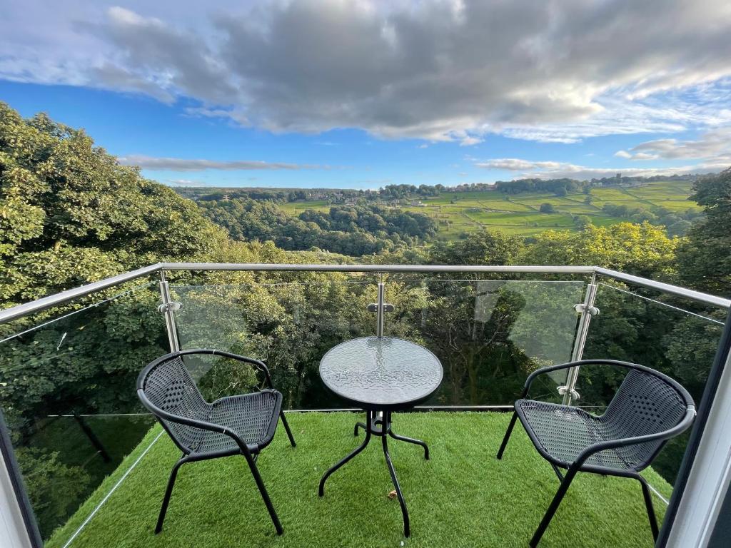
Woodroyd apartments

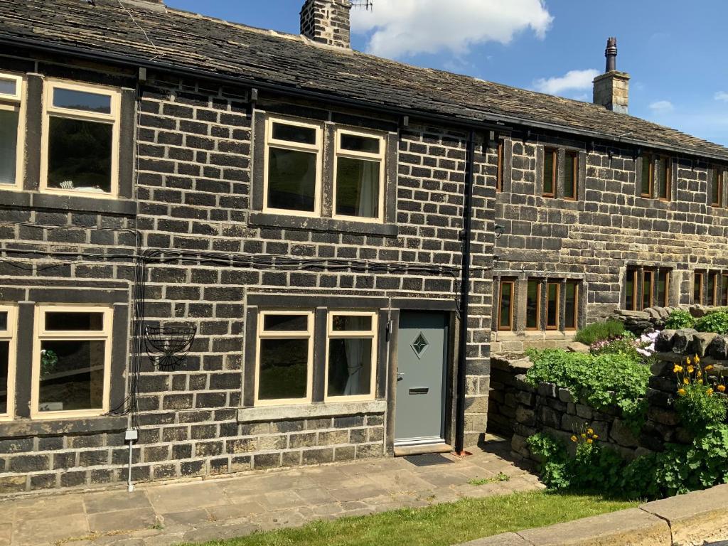
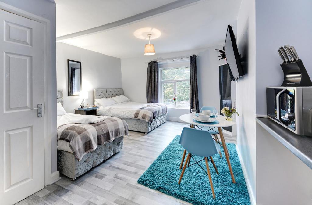
Grey Stone Studio Apartments
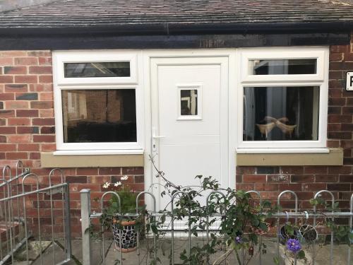
Route 66 Cottage
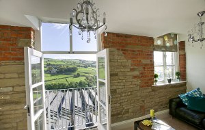
Oats Royd Mill Holiday Apartments
Things to Do in Luddenden Foot
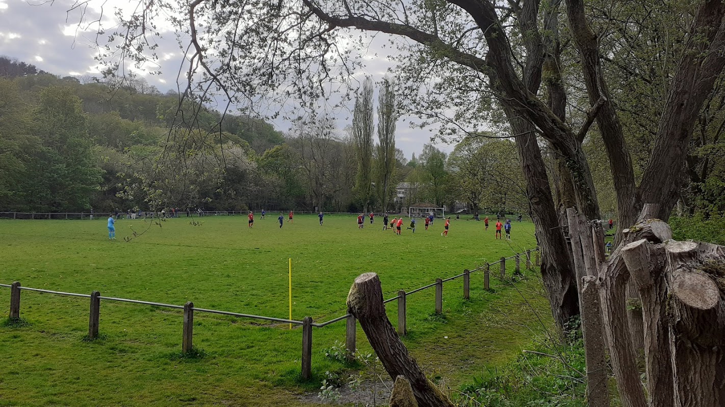
Holmes Park
Holmes Park in Luddenden Foot, Halifax, offers a charming setting with well-maintained flower beds, a cenotaph, and a children's play area. Visitors can enjoy a leisurely day out in this picturesque park, though parking is likely pay-and-display as no free parking information is available.
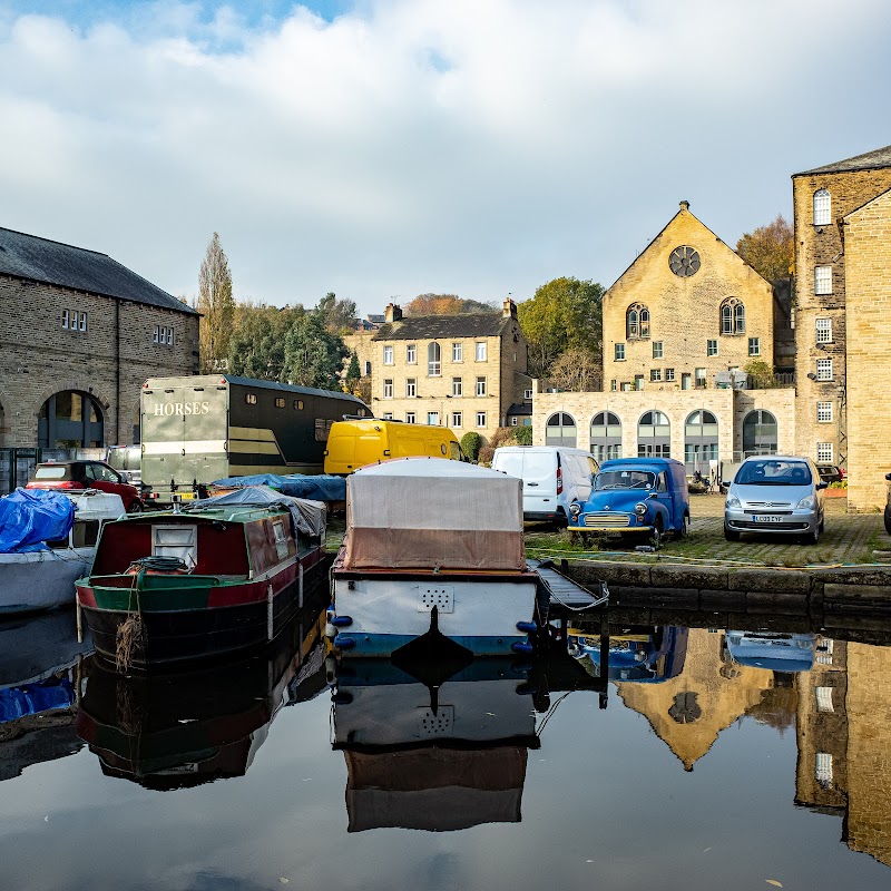
Sowerby Bridge Canal Wharf Landmark Sign
Discover the rich industrial heritage of Sowerby Bridge with a visit to the historic Canal Wharf Landmark Sign, offering tranquil canal-side strolls.
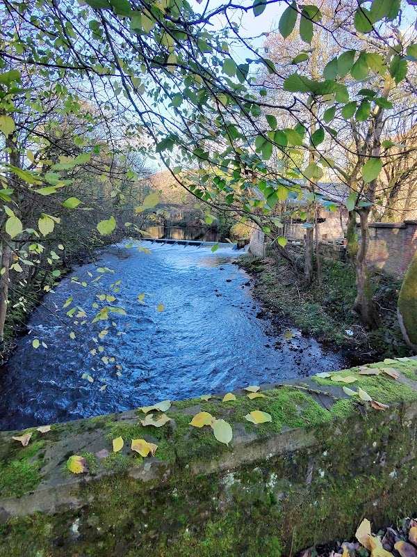
Calder weir
Experience the tranquil beauty of Calder Weir in Hebden Bridge, a picturesque spot perfect for a peaceful moment by the water.
Food & Drink

hubb.
hubb. in Sowerby Bridge offers a delightful weekend spot for delicious brunch, freshly brewed coffee, and a relaxed atmosphere.
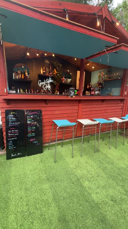
Roast & Toast, Cafe and Cocktail Bar
Roast & Toast is a highly-rated, dog-friendly cafe in Sowerby Bridge offering delicious, locally-sourced food and a welcoming atmosphere.
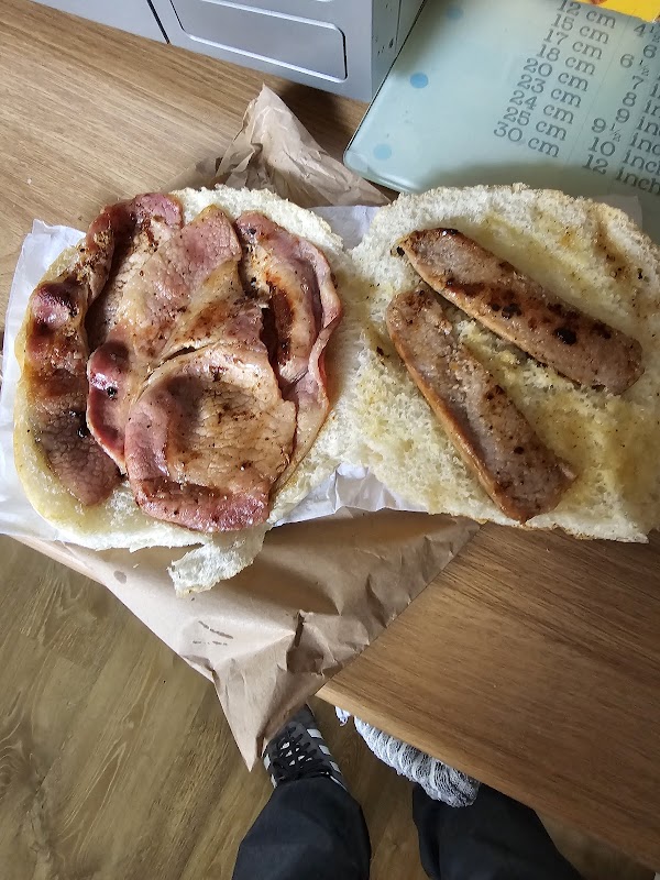
The Potting Shed Cafe
Discover The Potting Shed Cafe in Sowerby Bridge, a popular spot known for its delicious, high-quality breakfast and lunch options.

Interactive Map
View accommodation, attractions, restaurants, and events on the map
Geographic Facts
This village is geographically within the following regions:
- Population
- 2,547
- Administrative area
- Calderdale
Data sourced from Wikidata and verified public records
Upcoming Events in Luddenden Foot
View All Events in Luddenden Foot →





Walkshire in Luddenden Foot
More Walks in Luddenden Foot →
Walk: Calder Valley Greenway - Hebden Bridge to Brighouse
This pretty, relaxed walk along Sustrans’ National Cycle Route 66 is perfect for a blustery, colourful late autumn day. The Route What3Words for start point: ///hiring.fruit.tooth Start Point: Hebden Bridge Station Finish Point: Brighouse Station Distance: 9.3 Miles GPX Route Map hebden-bridge-to-brighouseDownload Walk Description This walk follows the historic watercourses of the Rochdale canal and the Calder and Hebble Navigation, winding through characterful industrial towns and imposing hills. Tread in the steps of the former Poet Laureate Ted Hughes and Sylvia Plath, who were inspired by this dramatic landscape, with its wild moors and lush native woodlands. As well as watercourses, the route follows the train line, so you can decide where to stop, enjoy a break in one of the many cafes of Mytholmroyd, Sowerby Bridge or Brighouse, and get a train back.

Walk: Calder and Hebble Navigation Canal
Running from Brighouse to Sowerby Bridge this section this is a part river, part canal route that once served the area at the height of the industrial revolution. The Route what3words for start point: ///gravel.assets.live Start Point: Sowerby Bridge Finish Point: Brighouse Distance: 6 Miles GPX Route Map calder-and-hebble-navigation-canalDownload Walk Description This route provides a tranquil repost to the urban centres along it's route. The peaceful nature of this busy walk is it's main attraction as you are transported to a quieter time, compared the to traffic on the streets above. Starting in Sowerby Bridge the route takes you through a the town and then onto some stunning Calder Valley countryside. There is an option to head towards Halifax along the canal to their however this walk continues into Brighouse, another Yorkshire industrial town. Watch out for the various bird and wild life along the canal and make sure you bring your spotting guide!

Walk: Sowerby Bridge to Hebden Bridge
This walk from Sowerby Bridge to Hebden Bridge will take you along the towpath of the Rochdale Canal and you will be surrounded by heritage and panoramic views. The Route what3words for start point: ///bats.begun.clubs Start Point: Sowerby Bridge Wharf Finish Point: Hebden Bridge Distance: 5.5 Miles GPX Route Map sowerbytohebdenDownload Walk Description Sowerby Bridge is where the Calder and Hebble Navigation seamlessly becomes the Rochdale Canal. Start the walk at Sowerby Bridge Wharf, the cobbled basin where the 18th-century canal buildings have been lovingly restored. You will join the Rochdale Canal at Lock 1 and follow it a short distance, past Lock 2 and then cross the road. After crossing the road, you can pick back up the canal and towpath at Tuel Lane Lock. Tuel Lane Lock is the deepest lock on Britain’s canals at 19 ½ ft, and boats can only travel through when lock keepers are present. Leaving Sowerby Bridge behind, you will follow through the leafy Calder Valley with its panoramic views. The next place you come across is Luddenden Foot followed by Brearley where you will see some canal-side cottages and a lock. Continuing along the towpath you will soon enter Mytholmroyd, the birthplace of poet Ted Hughes. As you carry on along the towpath, the quirky town of Hebden Bridge will be in front of you. Entering Hebden Bridge, you will first come across the Marina, then you can choose to explore the town's amazing independent cafes, shops and galleries or return to Sowerby Bridge by train or on foot.

Walk: Hebden Bridge Canal
Discover Hebden Bridge and the Rochdale Canal. The Route what3words for start point: ///noise.nicer.latter Start Point: Hebden Bridge Station, Station Rd, Hebden Bridge HX7 6JE Finish Point: Hebden Bridge Station, Station Rd, Hebden Bridge HX7 6JE Distance: 1.8 Miles GPX Route Map hebdenbridgeDownload Walk Description Starting at Hebden Bridge Station, join the towpath of the Rochdale Canal and turn left. Heading along the towpath you will soon approach the town and marina. Look out for the buildings that are old textile mills, full of heritage and character. Hebden Bridge was, and still is, known for the production of corduroy. Once known as the Trouser Town!You will pass by Calder Holmes Park but continue along the towpath. Whilst walking take time to admire the interesting and colourful canal boats. Just past the park you will need to cross the canal via the footbridge, at Black Pit Lock.Staying on the towpath you will reach Stubbing Upper Lock. There are lots of different plants and flowers along the towpath. Look out for butterflies, damselflies and dragonflies during the summer months. Not far from the lock you will arrive at Stubbing Wharfe pub. You will leave the towpath here and head towards the front of the pub, crossing the River Calder and turn right along the road. Follow the main road back into Hebden Bridge town centre. Hebden Bridge is full of amazing and quirky independent cafes, shops and galleries. Take time to explore the town centre and the market, if it is on. Once you have finished exploring, head back to the main road which will take you back to your starting point at the station.