
Discover Marske
Marske is a village in Swaledale, North Yorkshire, located at coordinates 54.398969444, -1.842861111. With a population of 127, it is a small community surrounded by beautiful countryside, featuring breathtaking views. It's popular with walkers, cyclists and outdoor enthusiasts for its quieter roads leading to Richmond and Reeth.
Explore the map below to discover accommodation, attractions, restaurants, and live events across Marske. Scroll down to browse featured listings and plan your perfect visit.
Property in Marske
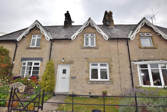
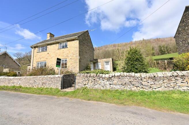
Explore 2 properties in Marske — homes and commercial listings for sale and to rent. Start with detached houses.
Browse by type
Stay in Marske
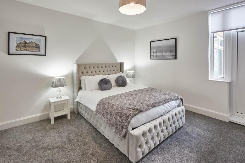
Host & Stay - Pete's Retreat
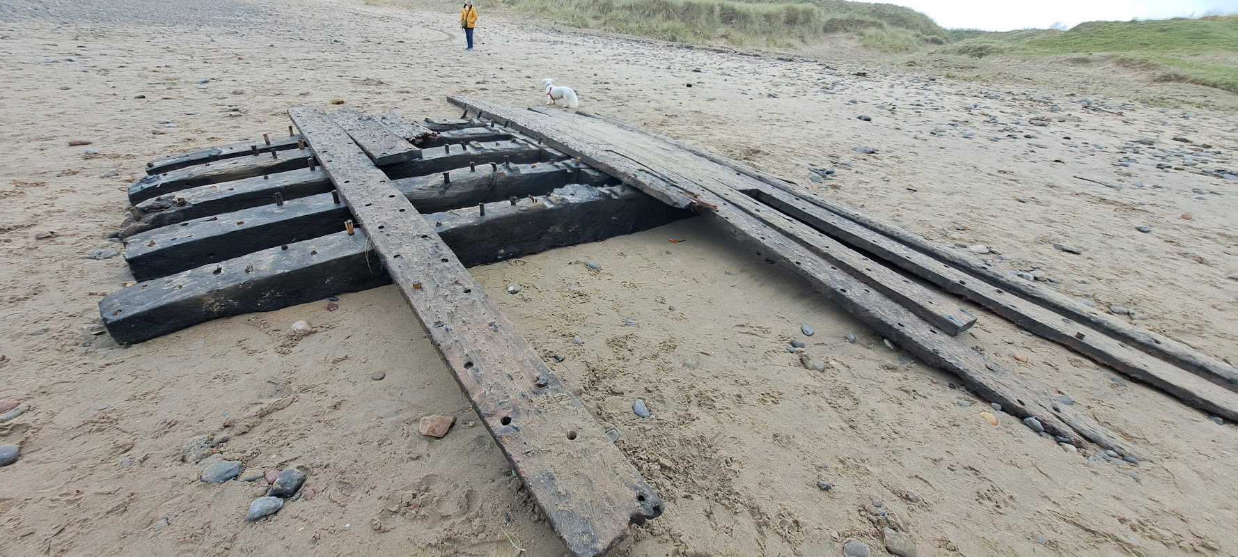
Beach Retreat
Discover Beach Retreat, a charming cottage in Marske-by-the-Sea offering fantastic views over the beach and cliff tops.
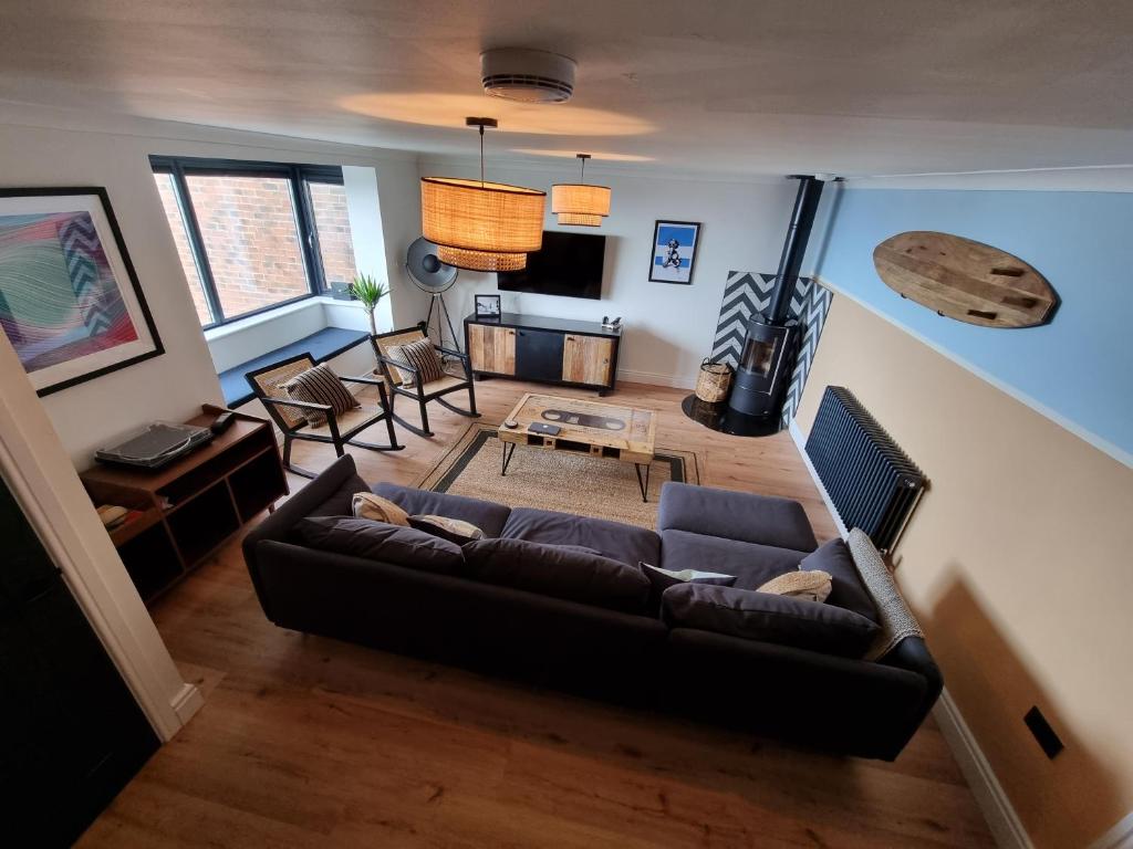
Salt & Surf-Sea Views in Saltburn
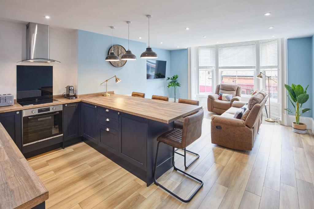
Host & Stay - Seaside Apartments
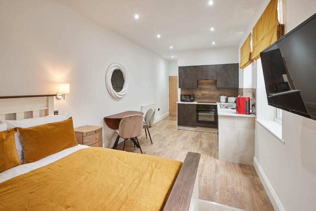
Host & Stay - Studio Pods
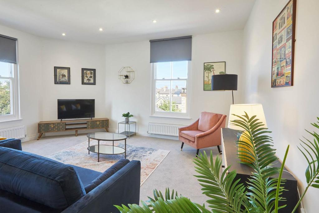
Host & Stay - Cornerhouse Apartments
Things to Do in Marske
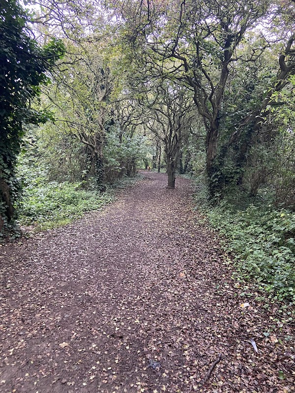
Beardmore Park
Despite the name, Beardmore Park is not a park in the usual sense. It is a short footpath through common land that connects the Beardmore housing estate to the beach at Marske.
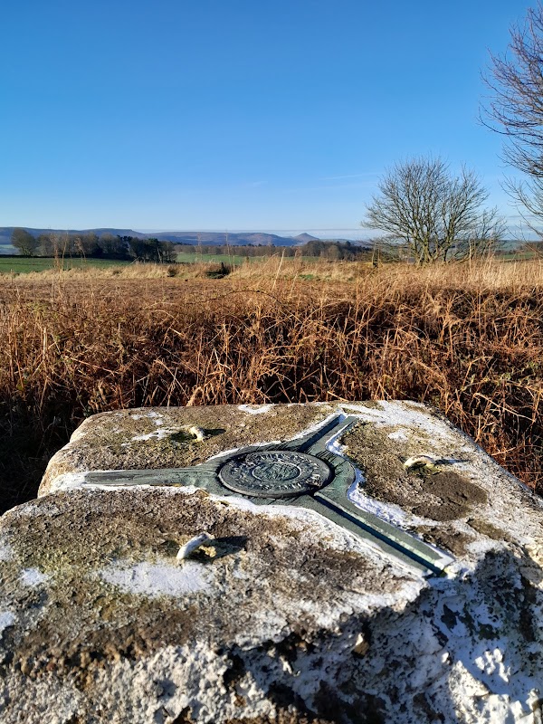
Errington Woods Trig point
Discover the Errington Woods Trig Point, a historical landmark offering panoramic views and popular trails for walkers and cyclists in Guisborough.
Food & Drink
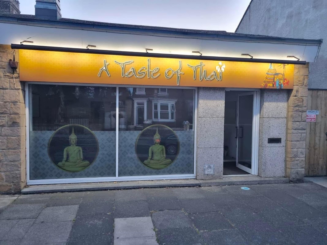
A Taste of Thai
Savour authentic Thai cuisine and warm hospitality at A Taste of Thai in Marske-by-the-Sea, praised for its delicious food and friendly service.
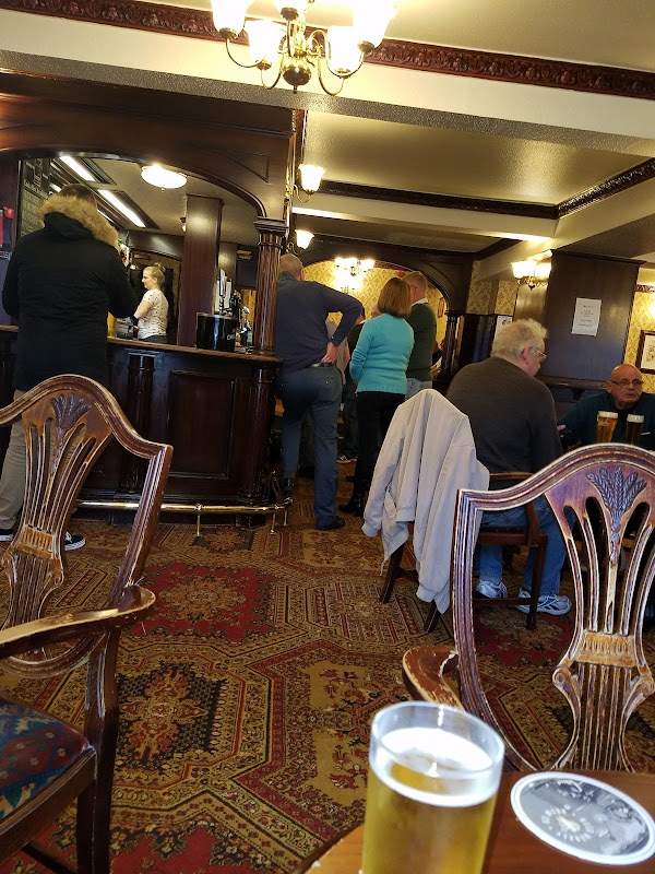
The Clarendon
Experience a warm, traditional pub atmosphere at The Clarendon in Marske-by-the-Sea, known for its well-kept ale and unique retro charm.

Interactive Map
View accommodation, attractions, restaurants, and events on the map
Geographic Facts
This town is geographically within the following regions:
- Population
- 127
Data sourced from Wikidata and verified public records


Latest news from Marske
All Local News →
VisitEngland Launches ‘My Coast Has The Most’ Campaign for Coastal Tourism in July 2026
Join the 'My coast has the most...' campaign from 29 June to 5 July 2026 to celebrate England's stunning coastline and support local tourism.

From Local Farm to National Shelves: How a North Yorkshire Rapeseed Oil Business Wins Listing with Garden Centre Chain
A North Yorkshire farm business, Charlie & Ivy's, has landed a major nationwide listing! Find their award-winning rapeseed oil bread dippers in Dobbies now.
Walkshire in Marske
More Walks in Marske →
Saltburn to Skinningrove Walk
The beautiful section of the Yorkshire Coast between Saltburn and Skinningrove is less visited than that further south. The return via Warsett Hill offers variety to the rolling cliffs. The Route what3words for start point: ///bangle.hilltop.viewer Start Point: Saltburn Car Park west side of the river near the beach (TS12 1HQ) Finish Point: Saltburn Car Park Distance: 7 Miles Getting there It's easy to get to the seafront by car. Saltburn has an easily accessed railway station on the Tees Valley Line, which runs between Bishop Auckland and Saltburn via Darlington. The station, situated 12 miles 57 chains east of Middlesbrough, serves the seaside town of Saltburn-by-the-Sea, Redcar and Cleveland in North Yorkshire. The X4 bus service runs between Middlesbrough, Saltburn and Whitby. GPX Route Map saltburntoskinningroveDownload Walk Description Any walk along the Yorkshire Coast is undulating and varied. This is no exception. Starting at Saltburn there is a steep climb to start with as you follow the Cleveland Way which sticks close to the cliffs. Skinningrove is an old fishing village which offers a great contrast with Saltburn, more of a Victorian tourist hot spot! The return is a little inland and takes in the lovely viewpoint of Warsett Hill and the Old Railway which used to link all the coastal towns.

Walk: Saltburn Valley Gardens
A nice little stroll in the picturesque town of Saltburn-by-the-sea. Once you've finished walking on the sea front or the Victorian pier make sure you visit the Valley Gardens to top off the day. The Route what3words for start point: ///alone.egging.alerting Start Point: Saltburn-by-the-sea Finish Point: Saltburn-by-the-sea Distance: 1 Mile GPX Route Map saltburn-valley-gardensDownload Walk Description A fabulous park that overlook the stunning coastline at Saltburn including the preserved Victorian pier. The park has a woodland as well a formal well kept gardens and a memorial to Prince Albert. It's an ideal way to take in the sea air whilst seeing a new side to the seaside resort. Transport yourself back to the 19th century and imagine the first holiday makers arriving by train and walking out in the gardens as a social event in the early evening. Enjoy a pit stop at the excellent café to refresh yourself before heading back to the seafront.