
Discover Mixenden
Mixenden is a village located in West Yorkshire, governed by Calderdale Council. It has a population of approximately 13,000 residents and falls under the HX2 postcode area. The village is known for its proximity to the scenic South Pennines, offering opportunities for outdoor activities and exploration.
Explore the map below to discover accommodation, attractions, restaurants, and live events across Mixenden. Scroll down to browse featured listings and plan your perfect visit.
Property in Mixenden
Browse homes and commercial listings for sale and to rent in Mixenden.
Stay in Mixenden
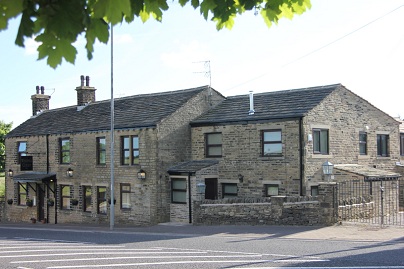

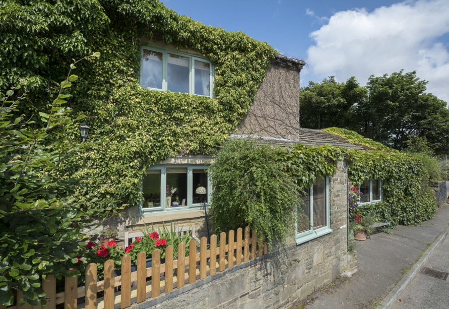
Ploughcroft Cottage
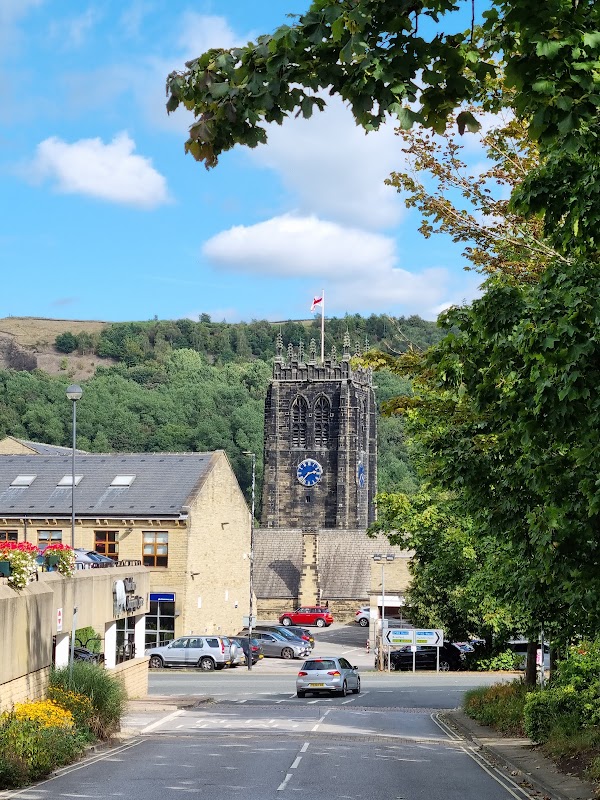
Causeway House
Causeway House offers comfortable serviced apartments in central Halifax, providing a convenient base for exploring the town.
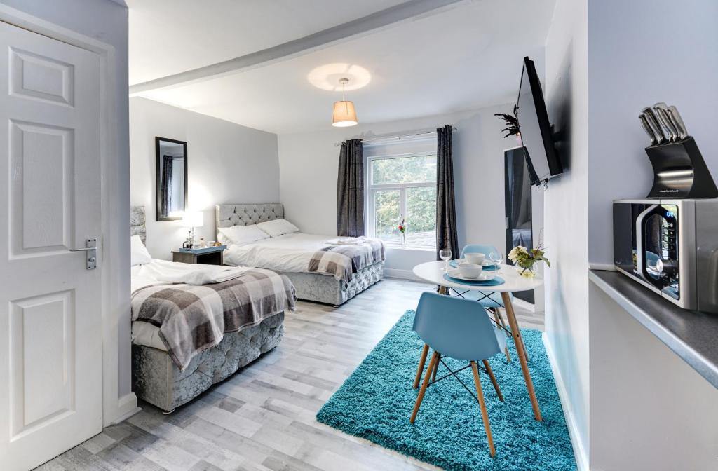
Grey Stone Studio Apartments
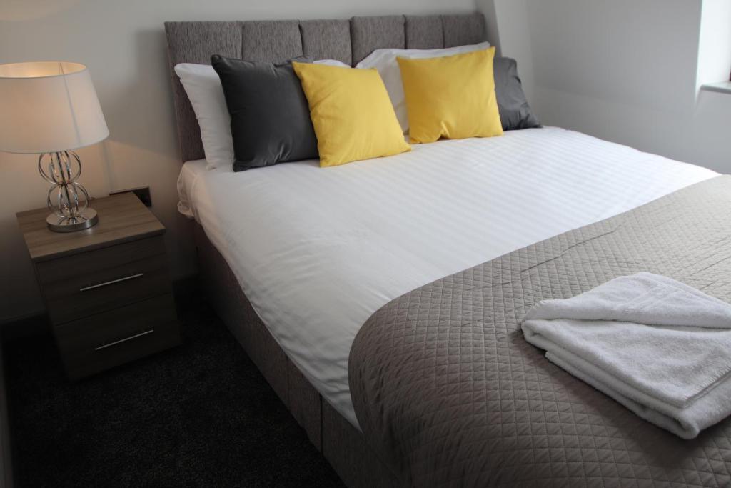
Halifax House, Studio Apartment 213
Browse by Type
Things to Do in Mixenden
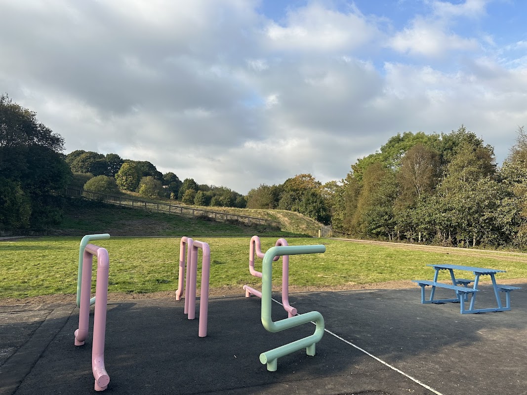
Mixenden Urban Park
Mixenden Urban Park offers convenient parking for visitors exploring the scenic beauty of Halifax. Located on Woodbrook Ave, this facility provides easy access to the park's attractions and is ideal for tourists seeking a leisurely day out. Please note that payment is required, ensuring a hassle-free experience for all visitors.
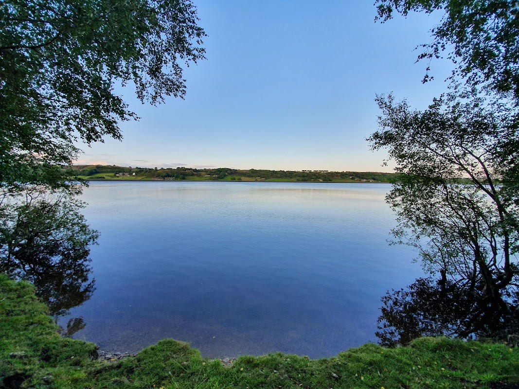
Mixenden Reservoir
Mixenden Reservoir offers a scenic spot for outdoor enthusiasts in Halifax. While the parking details are not explicitly mentioned, visitors can enjoy walking trails and recreational activities such as canoeing. It's an ideal location for families and nature lovers to explore the beautiful surroundings.

Another World Adventure Centre
Food & Drink

Booze Pharma-C Ltd
Booze Pharma-C Ltd in Halifax is a 4-star rated off-license, providing drinks, tobacco, and vapes with convenient late hours.

Bubble tea Halifax
Discover Bubble tea Halifax on Market Street, a popular spot serving a vibrant range of delicious bubble teas and snacks in Halifax.

Eight Sixteen Coffee Co. Ltd.
Discover Eight Sixteen Coffee Co. in Halifax, highly rated for its delicious breakfasts, brunch, and lunch, with friendly service.

Interactive Map
View accommodation, attractions, restaurants, and events on the map
Geographic Facts
This village is geographically within the following regions:
- Population
- 12,739
- Postcode
- HX2
- Administrative area
- Calderdale
- Dialing code
- 01422
Data sourced from Wikidata and verified public records
Upcoming Events in Mixenden
View All Events in Mixenden →





Walkshire in Mixenden
More Walks in Mixenden →
Walk: Ogden Reservoir and Overnden Moor
A feast of different landscapes all squeezed into a short walk around the reservoir and the surrounding moorland, just outside Halifax. The Route what3words for start point: ///proclaims.goat.relatives Start Point: Pay & Display car park off A629, HX2 8XZ Finish Point: Car park off A629, HX2 8XZ Distance: 4 Miles GPX Route Map walkshireogdenreservoirandoverndenmoorDownload Walk Description From the car park, walk towards the gates at the far end. Take the left hand pedestrian gate and follow the track through the woods to meet another track at the water’s edge. Ignore the bridge on your left, and continue straight on the track. For a short while, the track becomes a path before joining another surfaced track. Follow this track, keeping the stream on your right. Cross a stile and ignore the two bridges on your right, continuing straight ahead. The path starts to climb steeply uphill for a very short while before reaching a long bridge. Just after the long bridge, climb the stone steps to cross a shorter bridge. Just afterwards, the path bears left towards a stile over a wire fence. Cross the stile and follow the track along the edge of the moorland wind farm, keeping the turbines to your right. Eventually, the path takes you to a bridge over Skirden Clough. Cross the bridge and follow a clear path forwards, where you will meet the wide surfaced vehicle track of Withens New Road. Here, turn left, and follow Withens New Road down to the dam wall. Walk along the dam wall and pass the Visitor Centre on the left. Follow the road in front of you back to car park.

Walk: Calder Valley Greenway - Hebden Bridge to Brighouse
This pretty, relaxed walk along Sustrans’ National Cycle Route 66 is perfect for a blustery, colourful late autumn day. The Route What3Words for start point: ///hiring.fruit.tooth Start Point: Hebden Bridge Station Finish Point: Brighouse Station Distance: 9.3 Miles GPX Route Map hebden-bridge-to-brighouseDownload Walk Description This walk follows the historic watercourses of the Rochdale canal and the Calder and Hebble Navigation, winding through characterful industrial towns and imposing hills. Tread in the steps of the former Poet Laureate Ted Hughes and Sylvia Plath, who were inspired by this dramatic landscape, with its wild moors and lush native woodlands. As well as watercourses, the route follows the train line, so you can decide where to stop, enjoy a break in one of the many cafes of Mytholmroyd, Sowerby Bridge or Brighouse, and get a train back.

Walk: Oxenhope - Leeming Reservoir - Thornton Moor Reservoir
A stroll through the quaint village of Oxenhope in the foot of the South Pennines with wonderful views of the Worth Valley from the reservoirs on it's outskirts. The Route what3words for start point: ///narrowest.ledge.televise Start Point: Oxenhope Finish Point: Oxenhope Distance: 5 Miles GPX Route Map oxenhopeDownload Walk Description Starting Point: Next to Oxenhope Station on the Keighley and Worth Valley Railway Step off the train at Oxenhope station, and you're not just arriving in a village; you're stepping into a living movie set and a gateway to Yorkshire's industrial past. As part of the celebrated Keighley and Worth Valley Railway, one of the finest examples of preserved steam railways in the country, Oxenhope station has graced the silver screen in films like "The Railway Children." For fans of both history and cinema, arriving by this mode of transport isn't just convenient—it's like riding through time itself. The old mill workers' cottages line the streets. Many of these historical buildings have been repurposed into homes, but they've lost none of their vintage allure. From the train station the two-mile uphill journey is not for the faint of heart. This stretch is also the battleground for the village's annual straw race, where competitors sprint up this steep hill while carrying a bale of straw on their backs. While you won't be carrying straw, the incline provides its own challenges, offering a workout that'll make the ascent all the more rewarding. Upon cresting the hill, you'll find yourself by Leeming Reservoir. Pause here and to soak in the view - a panorama of the valley that stretches far and wide. Having feasted your eyes and filled your lungs with fresh air, it's time to begin the descent back to Oxenhope. Cap off the adventure with a visit to one of the local pubs for a hearty ale, sumptuous pie, or some classic Yorkshire fare.

Walk: Calder and Hebble Navigation Canal
Running from Brighouse to Sowerby Bridge this section this is a part river, part canal route that once served the area at the height of the industrial revolution. The Route what3words for start point: ///gravel.assets.live Start Point: Sowerby Bridge Finish Point: Brighouse Distance: 6 Miles GPX Route Map calder-and-hebble-navigation-canalDownload Walk Description This route provides a tranquil repost to the urban centres along it's route. The peaceful nature of this busy walk is it's main attraction as you are transported to a quieter time, compared the to traffic on the streets above. Starting in Sowerby Bridge the route takes you through a the town and then onto some stunning Calder Valley countryside. There is an option to head towards Halifax along the canal to their however this walk continues into Brighouse, another Yorkshire industrial town. Watch out for the various bird and wild life along the canal and make sure you bring your spotting guide!