
Discover Old Malton
Old Malton is a village located in North Yorkshire, governed by North Yorkshire Council (formerly Ryedale). With a historical background, it is home to the 12th-century St. Mary's Priory Church. Visitors should note its proximity to Malton, a market town known for its food festivals and local produce markets.
Explore the map below to discover accommodation, attractions, restaurants, and live events across Old Malton. Scroll down to browse featured listings and plan your perfect visit.
Property in Old Malton
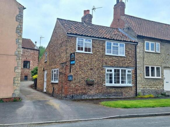
Explore 7 properties in Old Malton — homes and commercial listings for sale and to rent. Start with warehouse, warehouse, detached houses, or land.
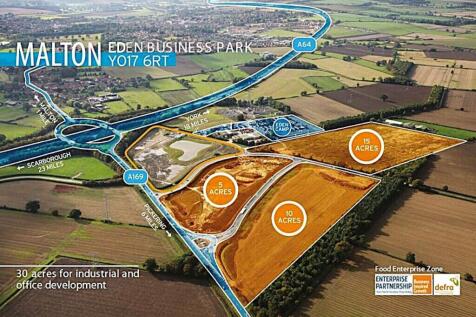
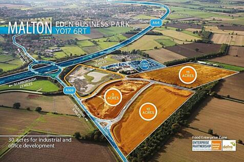
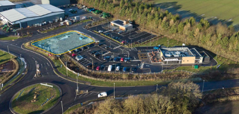
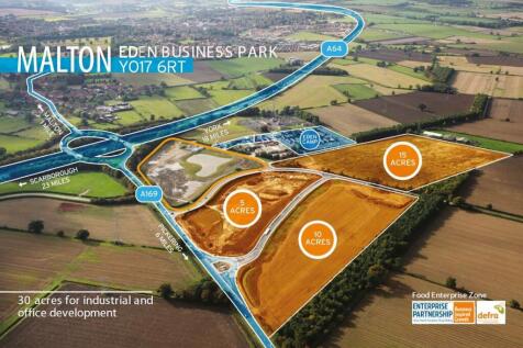
Land for Sale - Eden Business Park, Old-malton

Browse by type
Stay in Old Malton
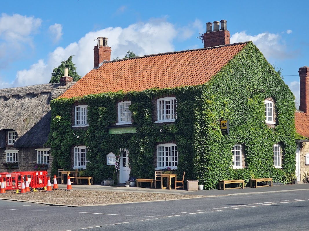
The Wentworth Arms
The Wentworth Arms in Old Malton offers convenient parking options for visitors exploring this charming Yorkshire village. Located on Town Street, this facility provides easy access to the inn's cozy accommodations and nearby attractions. Ideal for tourists looking to enjoy the local hospitality and historic surroundings.
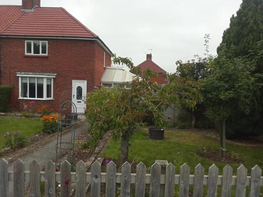
Great base for a Yorkshire adventure

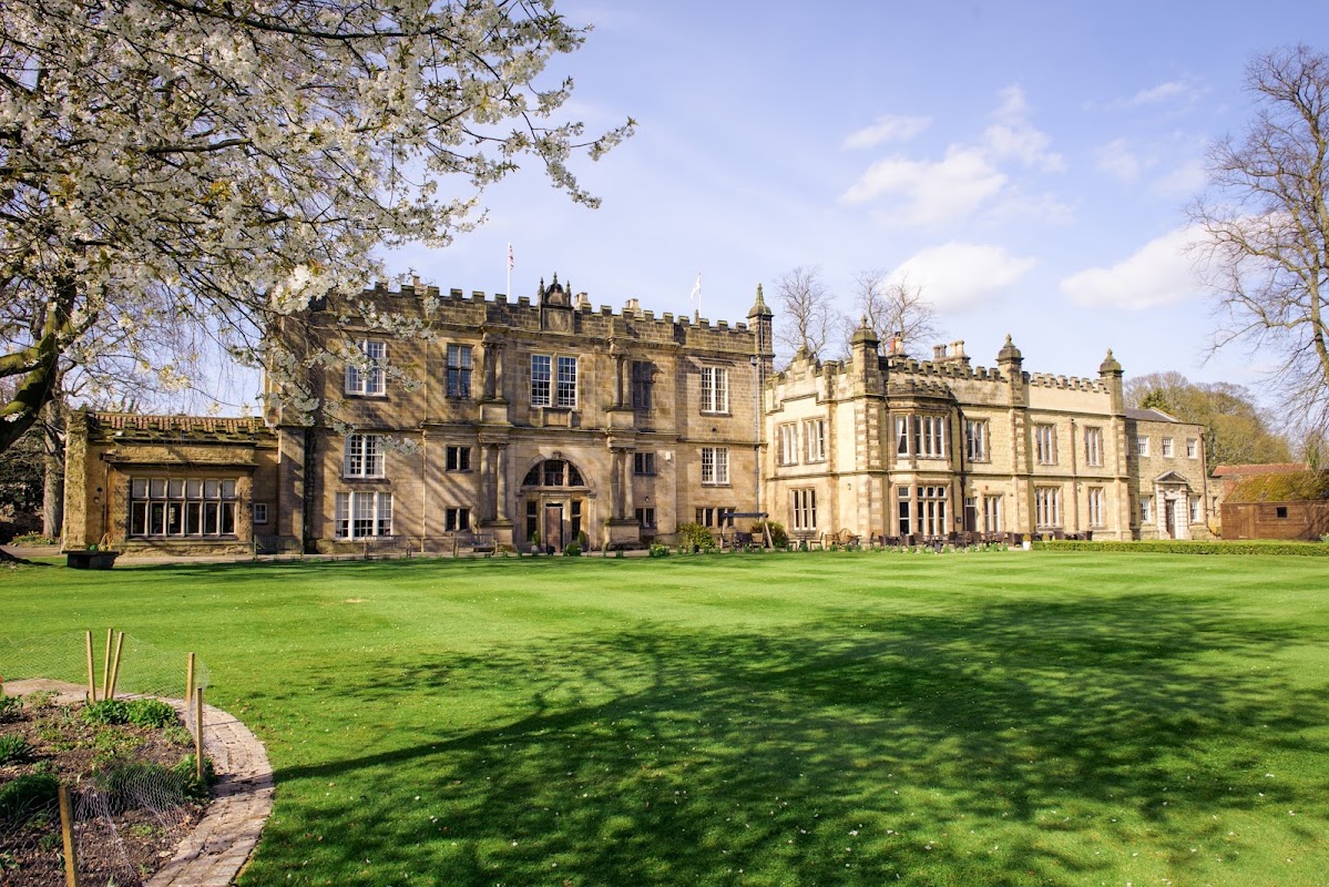
The Old Lodge
The Old Lodge offers convenient parking for guests visiting this historic Tudor mansion in Old Malton. Located at Old Maltongate, Malton, this facility provides easy access to the hotel's charming rooms, restaurant, and garden areas, making it a perfect base for exploring the local area.
Things to Do in Old Malton
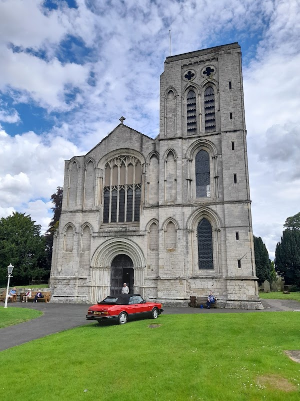
St Mary's Priory Church
Located near St Mary's Priory Church in Old Malton, this parking facility offers free parking just 100 yards down the river bank. It's an ideal spot for tourists looking to explore the scenic walking routes in the area, providing convenient access to the church and surrounding attractions.
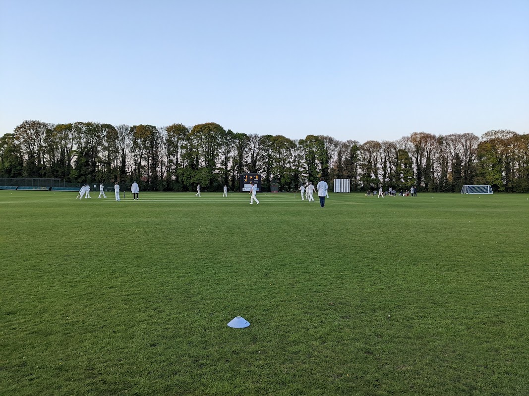
Malton & Old Malton Cricket Club
Located in the charming area of Old Malton, the Malton & Old Malton Cricket Club offers convenient free parking amidst picturesque surroundings. Visitors can enjoy the scenic beauty of the adjoining woods and natural springs, making it an ideal spot for both sports enthusiasts and nature lovers. The club also features a spacious function room and excellent facilities, perfect for events and gatherings.
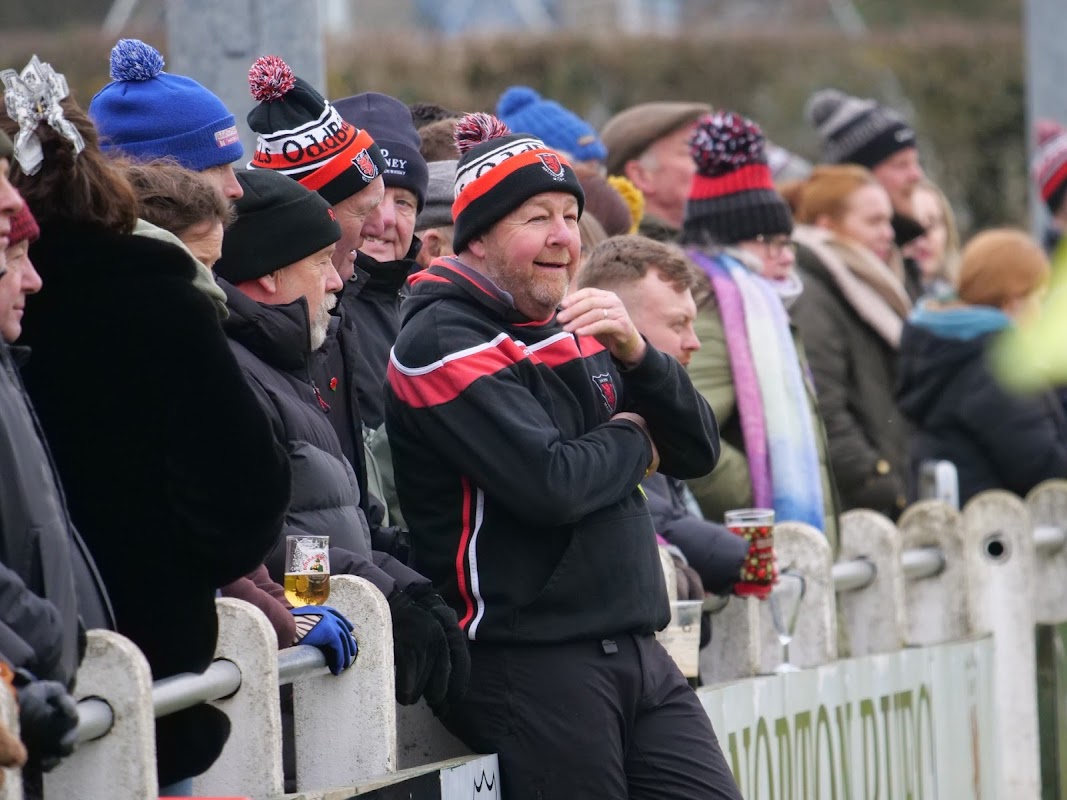
Malton & Norton RUFC
Located in Old Malton, the Malton & Norton RUFC offers convenient parking for visitors attending events at this vibrant sports club. While the payment options are not specified, it is likely a pay-and-display facility, making it an accessible choice for those exploring the nearby attractions. Enjoy the local hospitality and the scenic surroundings during your visit.
Food & Drink

The Wentworth Arms
The Wentworth Arms in Old Malton offers convenient parking options for visitors exploring this charming Yorkshire village. Located on Town Street, this facility provides easy access to the inn's cozy accommodations and nearby attractions. Ideal for tourists looking to enjoy the local hospitality and historic surroundings.
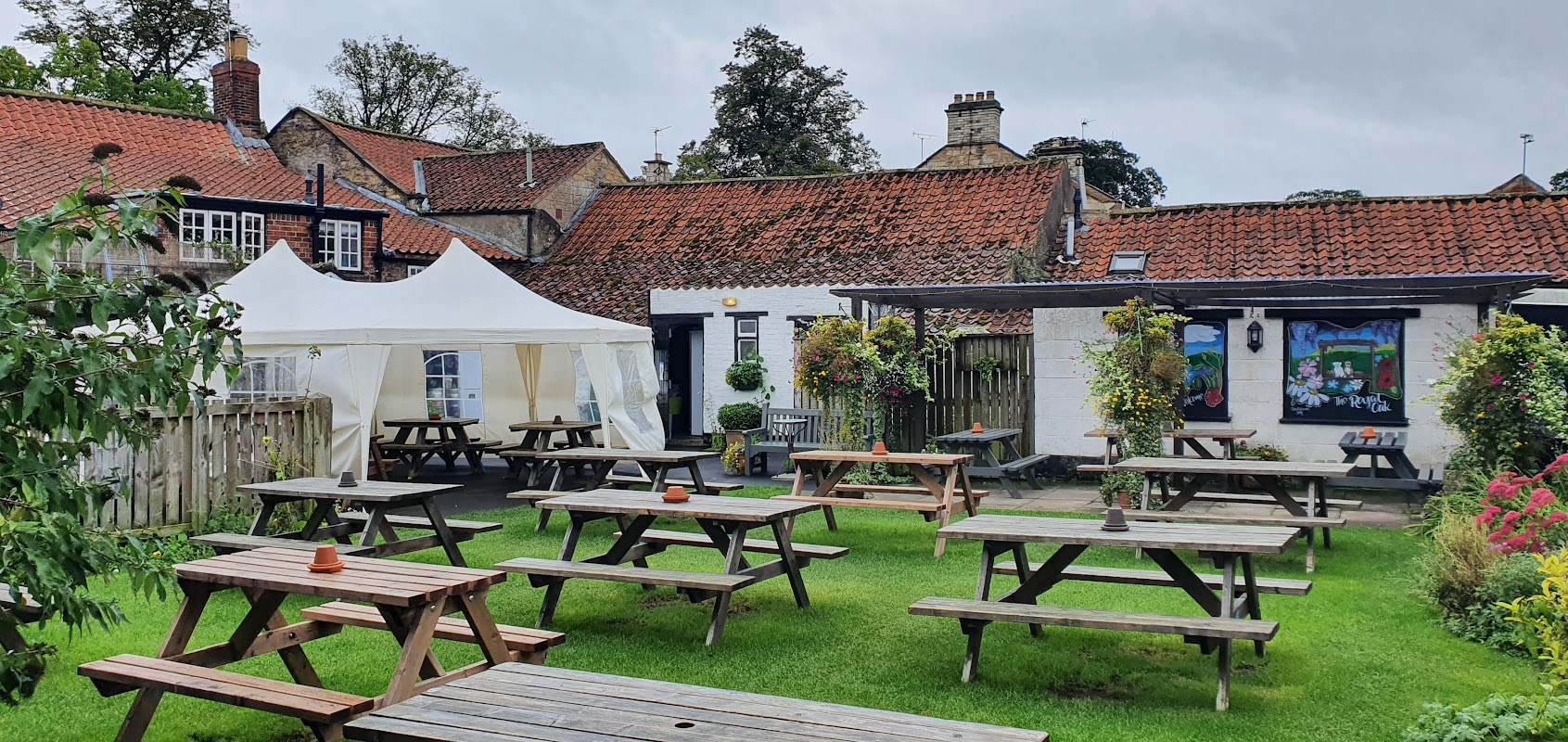
Old Malton, The Royal Oak Pub & Kitchen
Located in the charming village of Old Malton, The Royal Oak Pub & Kitchen offers a delightful stop for travelers exploring Yorkshire. While enjoying the warm hospitality and unique South African dishes, visitors can find convenient pay-and-display parking nearby, making it an easy choice for those traveling through the area.

Interactive Map
View accommodation, attractions, restaurants, and events on the map
Geographic Facts
This village is geographically within the following regions:
- Postcode
- YO17
- Administrative area
- Malton
Data sourced from Wikidata and verified public records
Upcoming Events in Old Malton
View All Events in Old Malton →No events found for Old Malton yet.
No events found for this period. Check back soon!
View all events in Old MaltonLatest news from Old Malton
All Local News →
Natural England Proposes New Area of Outstanding Natural Beauty in Yorkshire Wolds
Natural England has proposed a new Area of Outstanding Natural Beauty in the Yorkshire Wolds, aiming for formal recognition to conserve its stunning landscapes for future generations.

From Local Farm to National Shelves: How a North Yorkshire Rapeseed Oil Business Wins Listing with Garden Centre Chain
A North Yorkshire farm business, Charlie & Ivy's, has landed a major nationwide listing! Find their award-winning rapeseed oil bread dippers in Dobbies now.
Walkshire in Old Malton
More Walks in Old Malton →
Walk: Norton-on-Derwent Short Circular
Norton-on-Derwent Short Circular is a 7.9 kilometer loop trail located near Malton, North Yorkshire. The Route what3words for start point: ///beaten.bake.tests Start / Finish Point: Norton-on-Derwent Distance: 5 Miles GPX Route Map norton-on-derwentshortcircularDownload Walk Description Norton-on-Derwent Short Circular is a 7.9 kilometer loop trail located near Malton, North Yorkshire, England that features a river and is good for all skill levels. The trail is primarily used for hiking, walking, and running.

Walk: Howardian Hills Circular
Howardian Hills Circular is a 13.2 kilometer lightly trafficked loop trail located near Malton, North Yorkshire, England that features beautiful wild flowers and is rated as moderate. The trail is primarily used for walking and is accessible year-round. Dogs are also able to use this trail but must be kept on leash. The Route what3words for start point: ///signified.colonies.reward Start / Finish Point: Market Pl, Malton YO17 7LW Distance: 8 Miles GPX Route Map howardianhillscircularDownload Walk Description Howardian Hills Circular is a 13.2 kilometer lightly trafficked loop trail located near Malton, North Yorkshire, England that features beautiful wild flowers and is rated as moderate. The trail is primarily used for walking and is accessible year-round. Dogs are also able to use this trail but must be kept on leash.

Walk: Norton and Auburn Hill
Norton and Auburn Hill is a 9.5 kilometer loop trail located near Norton-on-Derwent, North Yorkshire, England and is rated as moderate. The trail is primarily used for hiking, walking, and running. The Route what3words for start point: ///file.masterpiece.every Start / Finish Point: Norton-on-Derwent Distance: 6 Miles GPX Route Map nortonandauburnhillDownload Walk Description A circular walk from the market town of Norton on Derwent in Ryedale. The route performs a loop to the east, taking in long stretches of peaceful arable fields and the southern tracks and lanes which are home to many horse racing stables. The walk has a couple of steady climbs and descents. About half of the route follows pavements alongside the local roads with the remainder following unmade footpaths and bridleways through the fields. The paths are generally firm but the bridleway tracks can get very muddy at times. You will need to negotiate 3 stiles, (2 standard wooden stiles and 1 wooden ladder stile). The stiles have wooden fence surrounds, the tightest of which has a gap suitable for a medium-large dog to pass through but larger dogs may need a lift over. You will need to cross one paddock that is likely to be holding horses. Allow 3 hours. If you are looking for refreshments you will find several pubs and restaurants on Church Street and Commercial Street near the start of the walk. OS Map: Explorer 300 Howardian Hills and Malton. This walk follows public footpaths and bridleways which cross private and public land. Please observe the Countryside Code.

Walk: Appleton le Street to Malton
Appleton le Street to Malton is a 11.1 kilometer point-to-point trail located near Malton, North Yorkshire, England that features beautiful wild flowers and is rated as moderate. The trail is primarily used for hiking, walking, and running. The Route what3words for start point: ///postings.commands.paths Start Point: Malton Finish Point: Appleton le Street Distance: 7 Miles GPX Route Map appletonlestreettomaltonDownload Walk Description IMPORTANT NOTE: This is a linear walk that relies on a bus service for the return leg, which runs Monday to Saturday. If you choose to complete the walk on a Sunday, you will need to use a taxi for the return leg. Alinear walk from the small village of Appleton le Street to the market town of Malton in Ryedale. Begin by catching the bus from Malton to Appleton le Street where you can enjoy a drink at the dog-friendly village pub before beginning the linear walk back into town. Along the way you will enjoy the beautiful scenery of the Howardian Hills including long stretches of pretty woodland and good views across the Castle Howard estate. This published through a collaboration with Ryedale District Council. The walk has several climbs and descents throughout. The sections of paths through woodland and pasture can be very muddy, slippery and rutted at times so good boots are a must (or wellingtons with grips in the winter months). Some of the paths are also very narrow in part, so could be prone to becoming a little overgrown in the height of the growing season. There are no stiles or kissing gates on route, but you will need to negotiate several single bridle gates. The vast majority of the paths are enclosed within fences or within woodland. You will cross two grass fields which may be used as pastures. Towards the end of the walk, you will need to cross a horse training gallop (by ducking under the tall barriers) so take care to ensure you look and listen carefully for horses before you cross. Allow 3.5 hours. There are public toilets in Malton Market Place near the end of the walk. If you are looking for refreshments, the Cresswell Arms in Appleton le Street is at the start point (check opening times) and you will be spoilt for choice with restaurants, pubs and cafes centred around Malton's Market Place near the end of your walk. OS Map: Explorer 300 Howardian Hills and Malton. This walk follows public footpaths and bridleways which cross private and public land. Please respect people's privacy, keep dogs under control and remember the Countryside Code.