
Discover Oldstead
Oldstead is a village located in North Yorkshire, governed by North Yorkshire Council. With a population of 82, it falls within the YO61 postcode area. Known for its proximity to the North York Moors National Park, Oldstead offers a serene rural setting ideal for exploring local natural landscapes and historical sites.
Explore the map below to discover accommodation, attractions, restaurants, and live events across Oldstead. Scroll down to browse featured listings and plan your perfect visit.
Property in Oldstead
Browse homes and commercial listings for sale and to rent in Oldstead.
Stay in Oldstead
The Black Swan at Oldstead
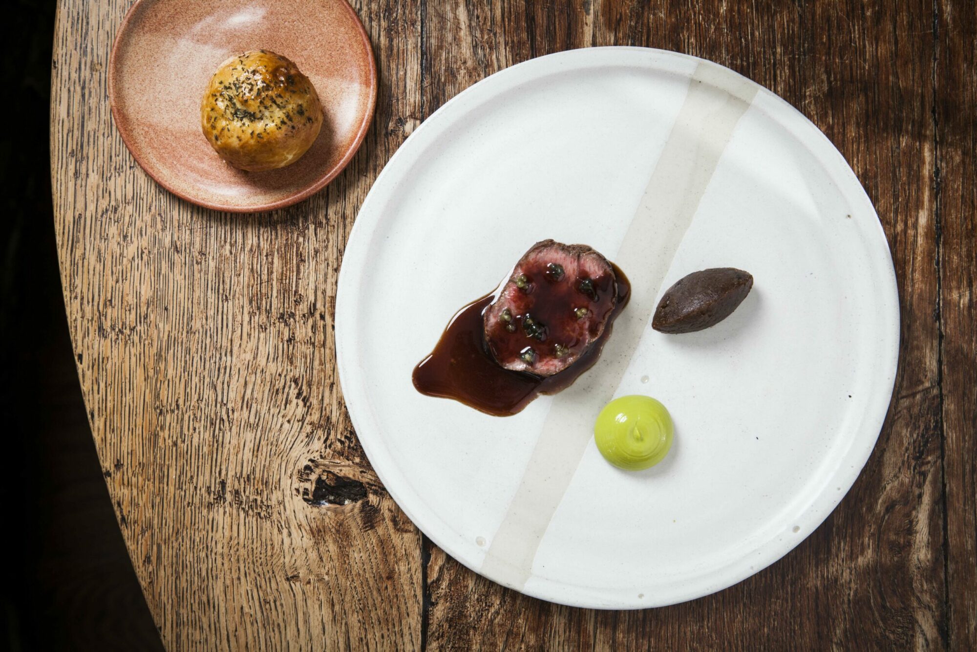
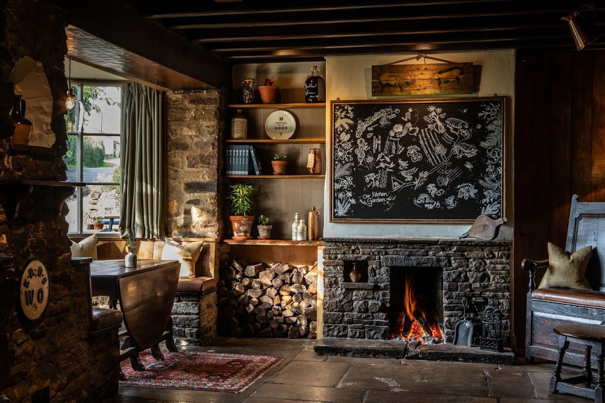
The Black Swan at Oldstead offers a delightful dining experience set in the picturesque North Yorkshire countryside. While primarily a fine dining restaurant and hotel, visitors should be prepared for standard pay-and-display parking options in the area. Enjoy the innovative cuisine and charming ambiance as you explore this unique destination.
Rumah Home B&B
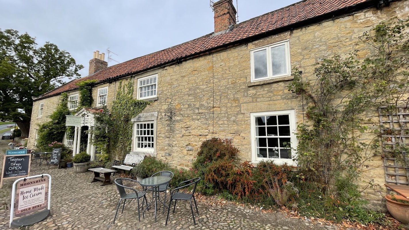
Located in the charming village of Coxwold, Rumah Home B&B offers a delightful stay with its tranquil garden and beautifully decorated rooms. While parking specifics are not mentioned, visitors can expect standard pay-and-display options typical of the area. Enjoy the serene surroundings and explore the nearby attractions during your stay.

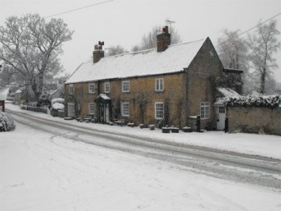
Things to Do in Oldstead
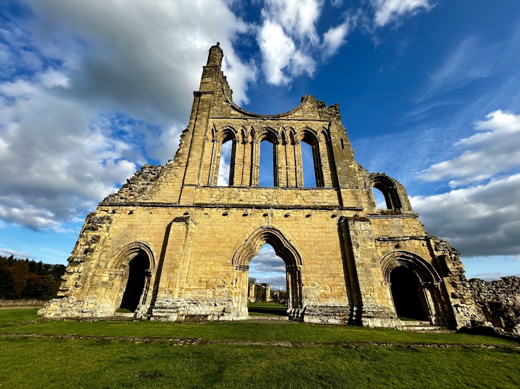
Byland Abbey
Byland Abbey offers a serene parking experience amidst the stunning medieval ruins of the abbey. Located in the picturesque setting of Newburgh, North Yorkshire, visitors can enjoy easy access to this historical landmark and its fascinating museum. Ideal for history enthusiasts looking to explore the grandeur of the abbey's past.
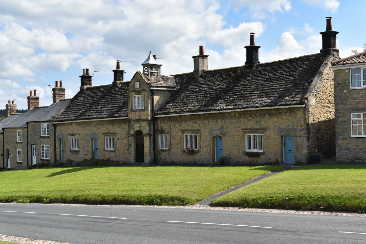
Coxwold Village Hall
Coxwold Village Hall offers ample free parking in the charming village of Coxwold, making it an ideal stop for tourists exploring the area. The venue is easily accessible with facilities for disabled visitors, providing a convenient and picturesque setting for events or a quick visit.
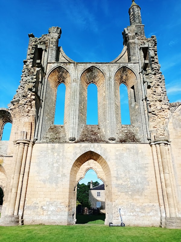
Brenk House Farm Caravan Park
Brenk House Farm Caravan Park offers a serene and spacious parking facility ideal for campers and caravans. Located in the picturesque village of Coxwold, it provides easy access to nearby attractions like Byland Abbey. Enjoy the tranquility of the countryside with friendly hosts and ample space for a relaxing stay.
Food & Drink
The Black Swan at Oldstead
The Black Swan at Oldstead offers a delightful dining experience set in the picturesque North Yorkshire countryside. While primarily a fine dining restaurant and hotel, visitors should be prepared for standard pay-and-display parking options in the area. Enjoy the innovative cuisine and charming ambiance as you explore this unique destination.
Browse by Type

Interactive Map
View accommodation, attractions, restaurants, and events on the map
Geographic Facts
This village is geographically within the following regions:
- Population
- 82
- Postcode
- YO61
- Administrative area
- North Yorkshire Council (formerly Ryedale)
- Dialing code
- 01347
Data sourced from Wikidata and verified public records


Latest news from Oldstead
All Local News →
From Local Farm to National Shelves: How a North Yorkshire Rapeseed Oil Business Wins Listing with Garden Centre Chain
A North Yorkshire farm business, Charlie & Ivy's, has landed a major nationwide listing! Find their award-winning rapeseed oil bread dippers in Dobbies now.
Walkshire in Oldstead
More Walks in Oldstead →
Walk: Gormire Lake and Garbutt Wood
A great walk with a stunning view from the top of Sutton Bank, near Thirsk, walking part way along the epic Cleveland Way. The Route What3Words for Start point: ///bonus.tree.incorrect Start Point: Sutton Bank National Park Centre, Sutton Bank, Thirsk, YO7 2EH Finish Point: Sutton Bank National Park Centre, Sutton Bank, Thirsk, YO7 2EH Distance: 4 Miles GPX Route Map walkshiregormirelakeandgarbuttwoodDownload Walk Description With the Sutton Bank National Park Centre in front of you, head to the right side of the building and follow the path to the first crossroads of paths. Turn right here to bring you to the road. Cross over and take the path straight ahead of you. Then turn left at the next junction and follow this windy path to meet the Cleveland Way National Trail. Turn right and follow the Cleveland Way, ignoring all paths off, all the way along the top edge of Sutton Brow. The path enters a wood, turns steadily right, and then turns sharp right - this is now the Garbutt Wood Nature Reserve. When it emerges from the wood, the path passes a gallop on the right and then turns sharply right. Just after the right turn is a wonderful view of the area - and then look for a sign for Thirlby Bank on the left. Take this bridleway all the way down the side of the hill inside the wood, around two hairpin turns. Just as you reach the edge of the wood, take the second turn on the left, and then veer to the left at the fork - to reach Gormire Lake, a Site of Special Scientific Interest. The lake is a natural lowland lake that lies at the foot of Whitestone Cliff. It has has no inflow or major outflow of water. It is thought to be fed by an underground spring and drained by a limestone channel - the water finds a way out through the base of the cliff face to the east of the lake. Gormire Lake is the fourth largest of the natural lakes in Yorkshire (the other three being Hornsea Mere, Malham Tarn and Semerwater). There are several legends attached to the lake, including a knight, Sir Harry Scriven, riding a white mare belonging to the Abbot of Rievaulx Abbey into the lake after being startled by the devil. Turn to the right, and follow the edge of the lake all the way around, to almost meet up with the way you came in, but instead, take the footpath to the right to walk through Garbutt Wood to re-join the Cleveland Way. Turn right and follow the Cleveland Way, crossing the access road for the National Park Centre and heading to the left to return to the car park. For accommodation and meal reservations, see the Thirsk pages.

Walk: Sutton Bank and the Kilburn White Horse Walk
This challenging circular walk in the North York Moors visits the Kilburn White Horse, the lovely Gormire Lake and the scar at Sutton Bank. It's one of the premium walks in the park and a must see if you are in the area. The Route what3words for start point: ///premises.enchanted.whips Start / Finish Point: Sutton Bank National Park Centre, Sutton Bank, Thirsk YO7 2EH Distance: 6 Miles GPX Route Map sutton-bank-and-the-kilburn-white-horseDownload Walk Description Start at the car park which sits just under the white horse and pick up the Cleveland Way to take you to the 978 ft (298 m) summit of Sutton Bank. The hill is a high point in the Hambleton Hills and commands splendid views over the North York Moors, the Vale of York and the Vale of Mowbray. At the summit you will find the fascinating Sutton Bank Visitor Centre where you can find out how the dramatic landscape was formed in the ice age. From the viewing platform there are views of Roulston Scar, Hood Hill and Lake Gormire. There's a handy view indicator which displays all the landmarks you can see. Also look for gliders setting off from the top of the hill on fine days. From the summit descend through woodland to Gormire Lake, passing the striking Whitestone Cliff as you go. Continue through the countryside before a final woodland section through the Hoodhill Field Plantation returns you to the car park. The area is also great for mountain biking. The North York Moors National Park Authority has created a green, blue and red trail. These are all waymarked and start from the Sutton Bank National Park Centre where you can hire bikes. Just to the south east you can also visit the magnificent Byland Abbey. The 12th century abbey includes extensive ruins and wonderful brightly coloured medieval floor tiles.