
Discover Oughtibridge
Oughtibridge is a village located in South Yorkshire, governed by Sheffield City Council. With a population of approximately 4,000, it lies within the S35 postcode area. The village is situated along the River Don, offering significant historical ties to the local steel industry and access to nearby woodland trails.
Explore the map below to discover accommodation, attractions, restaurants, and live events across Oughtibridge. Scroll down to browse featured listings and plan your perfect visit.
Property in Oughtibridge
Browse homes and commercial listings for sale and to rent in Oughtibridge.
Stay in Oughtibridge
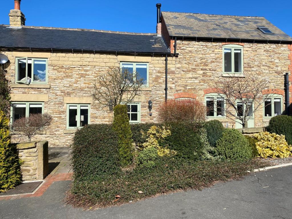
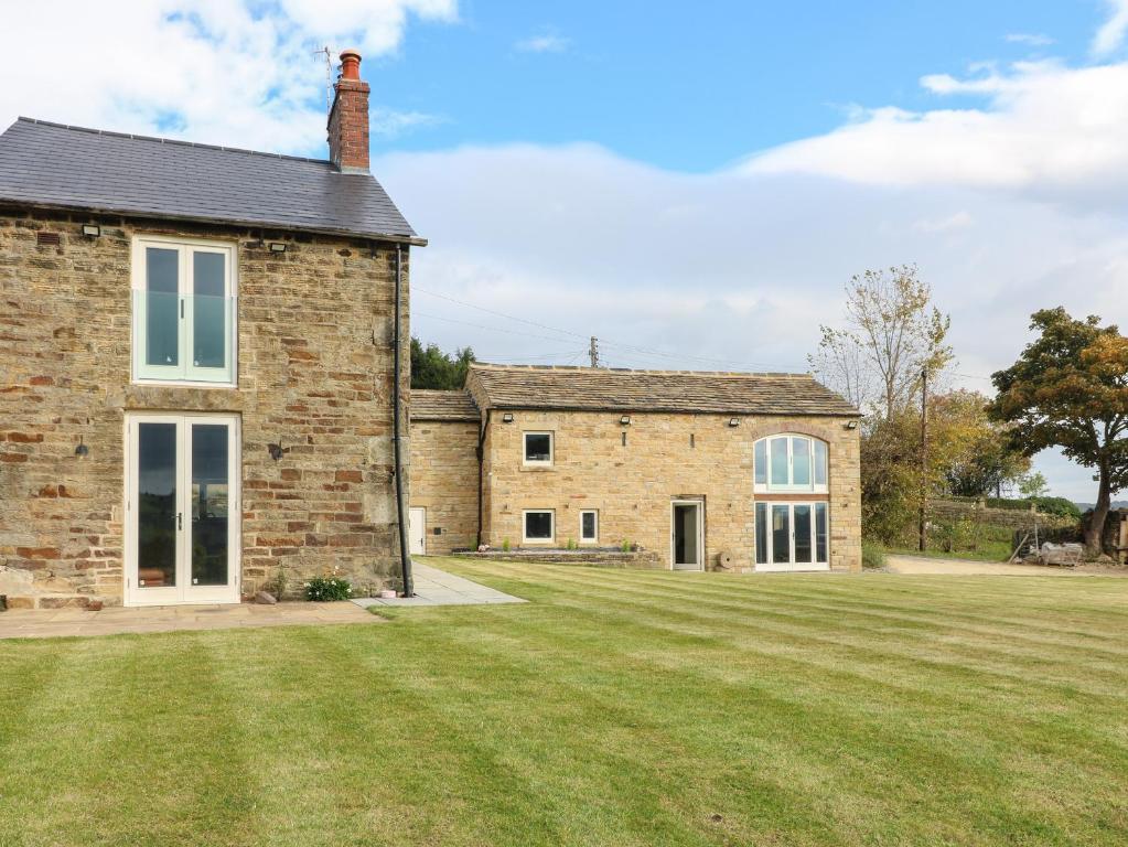
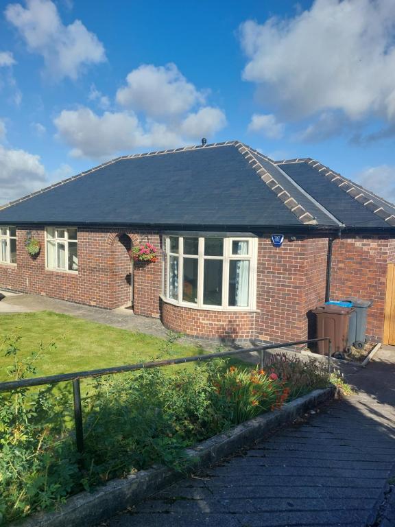
Honeysuckle Cottage
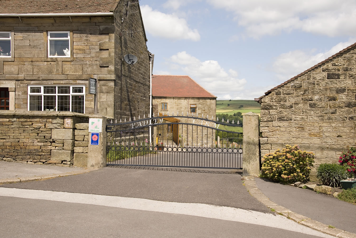
Padley Farm Bed and Breakfast
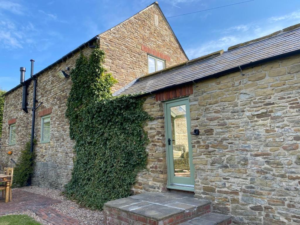
The Old Dairy
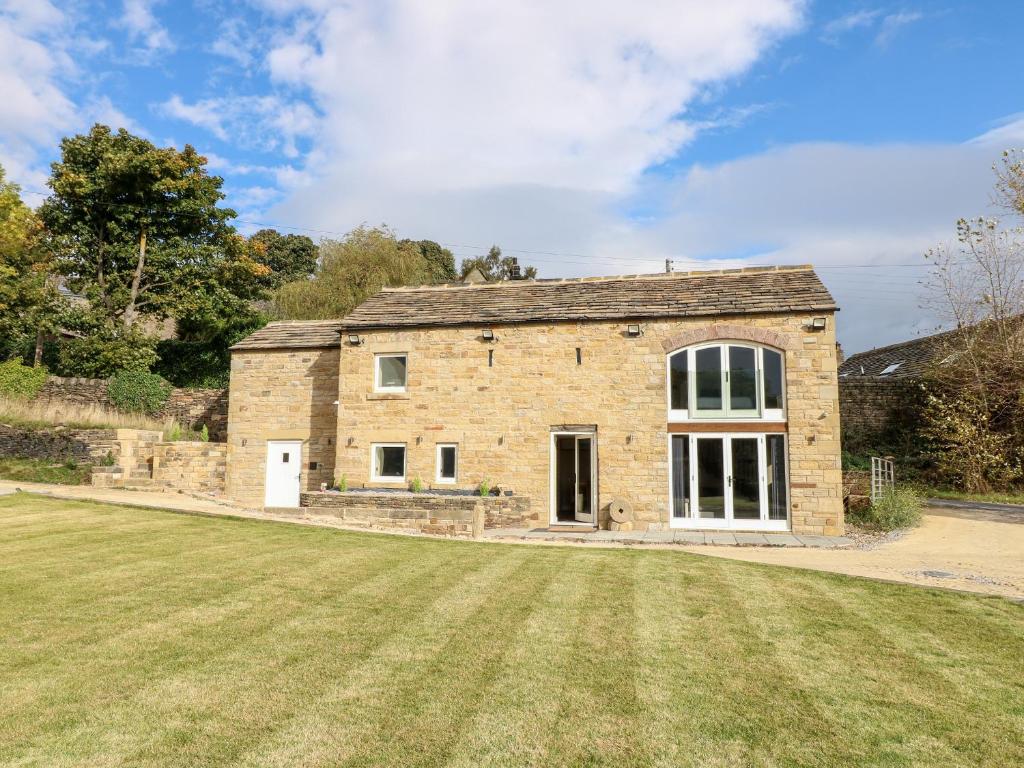
Browse by Type
Things to Do in Oughtibridge
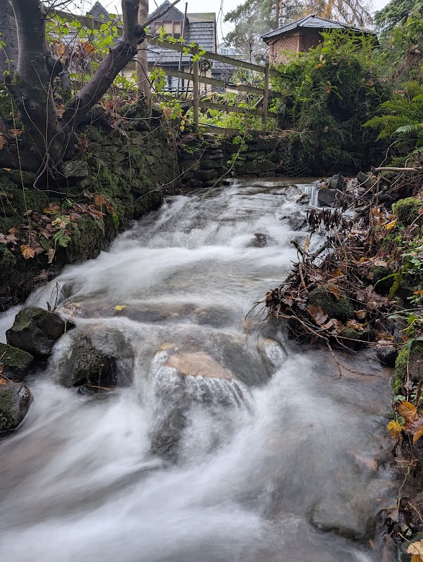
Sensicall Park
Sensicall Park in Oughtibridge, Sheffield, offers a delightful woodland escape with charming small waterfalls and a serene stream. Ideal for nature lovers, this hidden gem provides a peaceful retreat just outside the city. Be mindful of the natural surroundings as you enjoy your visit.

Oughtibridge War Memorial Sports Club
Oughtibridge War Memorial Sports Club offers convenient parking for visitors enjoying the sports facilities and clubhouse amenities. Located in the picturesque village of Oughtibridge, the parking area may become busy during events, so plan accordingly. Enjoy a friendly atmosphere with access to refreshments and sports entertainment.
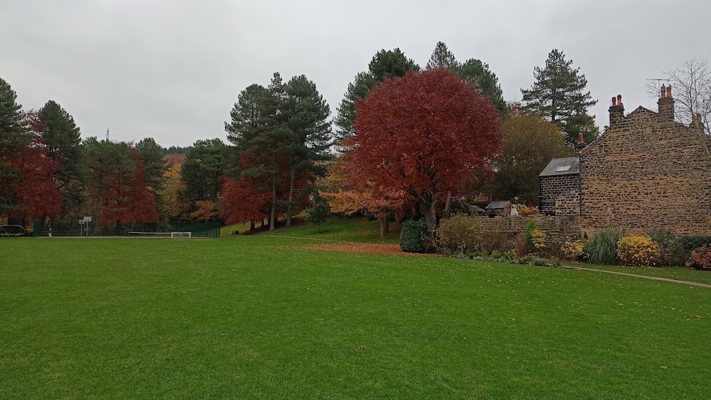
Coronation Park
Coronation Park in Oughtibridge offers a delightful experience for families with its beautiful scenery and engaging play areas for children. Visitors can enjoy a peaceful walk by the river and make use of the clean public toilets. On-street parking is available nearby, making it convenient for those driving to this charming location.
Food & Drink
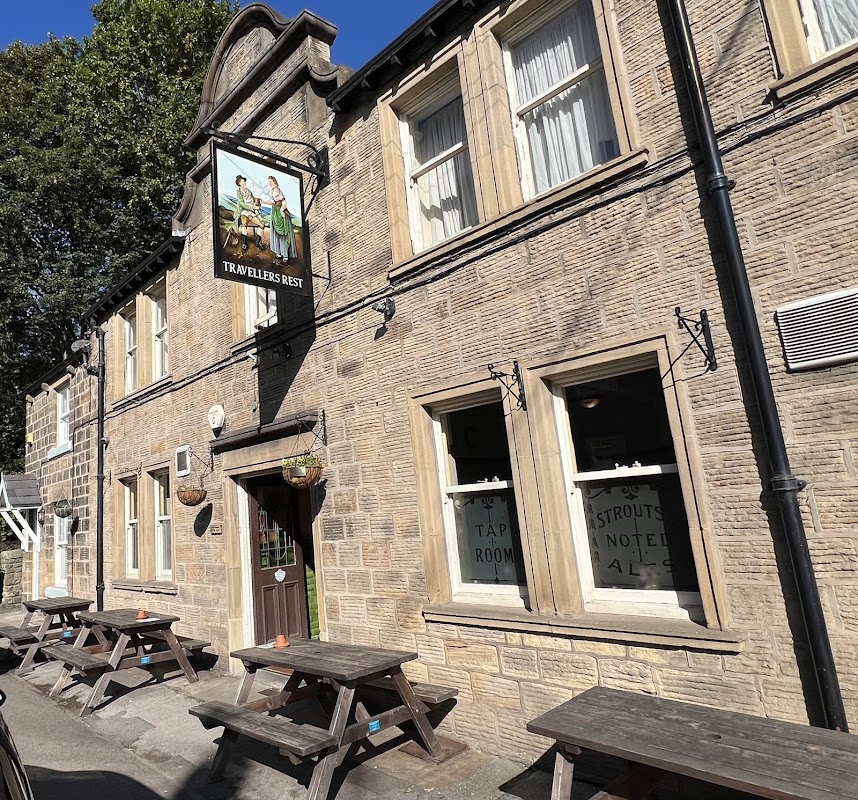
Travellers Rest
Travellers Rest in Oughtibridge offers convenient parking for visitors looking to enjoy a traditional Yorkshire pub experience. Located on Langsett Rd S, this establishment is perfect for those wanting to explore the local area or relax with a pint of Sam Smith's ales. Parking is typically pay-and-display, ensuring easy access for all guests.

White Hart
Located in the charming village of Oughtibridge, the White Hart offers convenient parking options for visitors exploring the local area. While primarily a pub and bar, its location makes it a suitable stop for those looking to enjoy a meal or drink before continuing their journey. The parking facility is likely a standard pay-and-display, ensuring easy access for travelers.

Cooplands
Located in the charming village of Oughtibridge, Cooplands offers visitors a delightful bakery experience with ample free parking. Enjoy a variety of freshly baked goods and hot beverages in a welcoming atmosphere, perfect for a quick stop during your Yorkshire travels.
Browse by Type

Interactive Map
View accommodation, attractions, restaurants, and events on the map
Geographic Facts
This village is geographically within the following regions:
- Population
- 3,584
- Postcode
- S35
- Administrative area
- Bradfield
- Dialing code
- 0114
Data sourced from Wikidata and verified public records
Upcoming Events in Oughtibridge
View All Events in Oughtibridge →





Walkshire in Oughtibridge
More Walks in Oughtibridge →
Walk: Bradfield and Agden Reservoir
A great walk taking in the woods and fields in the Ryburn Valley between the Ryburn and Baitings Reservoirs. The Route what3words for start point: ///pilots.large.voices Start / Finish Point: Car park off The Sands road in Low Bradfield, S6 6LA Distance: 5 Miles GPX Route Map walkshirebradfieldandagdenDownload Walk Description From the entrance of the car park, turn right and head along the walled track along the car park and playground, towards the footbridge and ford. Don’t cross the river, but instead head up the stream along the riverside path to the next bridge. Cross this bridge and carry on up the steps on the far bank to a stone stile and gap in the wall. Head left after the wall and then up the enclosed path alongside a field to get to a road. Cross the road carefully, and go through the gate in the direction of the public footpath sign. The path here is clear on the ground, to reach a stile. Then, keep close to the right-hand edge of the next field, and to the left-hand wall of the next narrow field, to get to the gate at the top. In the next field, keep the wall on your right and head for the church tower. At the churchyard, go through the gate and walk along the path round to the road. The path goes uphill for a short while, then goes left over some stone steps on a public footpath running through the church grounds. Keep on the path, near to the wall, to the edge of the wood. Once in the woods, continue straight ahead as the path drops slightly. After a while, the path heads left in between some stone posts. At the bottom of the hill, go through a gate, across a stream, and the path curves left to become a walled lane. At the end of the left-hand wall, turn right, then left across the field, keeping the scattering of trees on your right. Go to the right of the big trees on the left, following the path on the ground. Turn right between two groups of trees, then left, keeping a line of trees to your left. The path swaps to the left side of the trees, past some buildings and then to the left between stone walls to reach a road. Climb the stone stile, turning left on the road, then right down the side road. Turn left at the wooden stile, and follow the path as it drops all the way down to a wood. Follow the path to the right, then left at the field wall to reach the Agden Reservoir. Turn right, past the end of the reservoir and follow the path as it turns to the left and crosses Agden Dike. Continue on the path as it follows a line of trees on the left, and then to the left again to cross Emlin Dike. Follow the footpath all the way to meet Windy Bank road. Turn left, to follow the road towards the embankment at the southern edge of the reservoir. Carry on, and turn left at the T-junction, then turn left again to return to the car park.

Greno and Wharncliffe Woods Circular
To the north of Sheffield, near Grenoside, lie Greno and Wharncliffe Woods. These are some fabulous woodlands to walk through and this 7-mile circular takes it all in and more. The Route what3words for start point: ///dull.throw.slave Start / Finish Point: Grenoside Distance: 7 Miles GPX Route Map grenowoodDownload Walk Description These ancient woodlands and forested areas stretch for miles around and you can easily spend a whole day walking through them. Starting in the middle of Grenoside on Penistone Road, it is just a minute or two before you are suddenly inside the thick green woodland of Greno Woods. One minute you are in a housing area by a main road, then the next you are suddenly transported into calmness and nature. This first section of the loop walk takes you deeper into Greno Woods, not realising you are going gradually upwards. Then there is a gradual upwards path that brings you out at a trig point. This is the summit of Greno Knoll. This trig point is, of course, a remnant from a time before the high trees. Over time, the trees have obscured any line of sight to and from the trig point from elsewhere. From there, you drop down the other side and across Woodhead Road into a car park. This is where you enter Wharncliffe Wood. The pathways here are very wide and, as I found, a little more busy than Greno. Dog walkers, joggers and horse riders all enjoy the surroundings this place offers. Even though there were more people there, it did not feel overly busy at all. These woods cover a huge area, so there is plenty of space for one and all to enjoy. Of course, you don't even need to take the route we took. Paths lead in all directions from this place of real exploration. The locals are truly blessed. The path takes you all around and through the woods before you suddenly emerge into the open and onto Whalejaw Hill. You do not realise how high you have gone and there are spectacular views from here of Sheffield, the Peak District and beyond. The path from here winds round and back into Greno Woods for a gentle walk back to Grenoside. The dogs absolutely loved this walk too, with so much to stimulate them and space for them to run about safely. This is definitely one of those walks that may be 7 miles long but certainly does not feel that long or hard in any way. You can take all the time to enjoy it as you wish.

Walk: More Hall Reservoir
A quick burst of the outdoors on this easy walk around More Hall Reservoir, near Ewden, Sheffield. The Route what3words for start point: ///reshape.reinstate.intervene Start Point: Off-street parking around New Mill Bank Road, S36 4ZD Finish Point: New Mill Bank Road, S36 4ZD Distance: 3 Miles GPX Route Map walkshire20more20hall20reservoirDownload Walk Description From wherever you have parked, head towards the junction of roads at the south end of Ewden village. With the fence and the Yorkshire Water signs in front of you, turn left and keep to the road on the right of the junction. Walk along the road, called New Mill Bank, which runs parallel with the northern shore of the reservoir shore for around a mile. Steal views of the reservoir through the trees and vegetation as you walk. At the stone reservoir building, enter the embankment via the pedestrian gate, and cross the embankment to the southern end of the dam. Turn right and follow the footpath along the southern shore of the reservoir, always keeping the water on your right. Towards the end of the reservoir, the path forks, and here, take the right-hand fork to continue to a green gate. Head through the gate (which is compatible with a radar key for anyone requiring wheelchair or mobility vehicle access) and continue until you meet the road. Turn right, being careful for vehicles on this narrow country lane, and follow the road over the bridge to the junction of roads and back to where you parked your car. Stay nearby

Walk: Rivelin Valley Nature Trail
The Rivelin valley is a beautiful, hidden away gen in South Yorkshire and this walk is a fabulous stroll through it's landscape. The Route what3words for start point: ///unit.hedge.laser Start Point: Malin Bridge / Walkley Bank Tilt car park, Rivelin Valley Rd, Walkley, Sheffield S6 5FY Finish Point: Revlin Mill Bridge Distance: 2 Miles GPX Route Map rivelin-valley-nature-trailDownload Walk Description This walk contains a series of picturesque waterways, ponds and even some stepping stones for the kids (young and old). The industrial heritage of the area is featured through the former milling building you'll see on the way. There is a spacious car park, café and toilets at the starting point of the walk.