
Discover Oxton
Oxton is a hamlet located in North Yorkshire, England, within the LS24 postcode area. Governed by the Selby District Council, it is situated at coordinates 53.8816, -1.2347. Oxton's rural landscape and proximity to historical sites in Yorkshire make it a point of interest for those exploring the region's heritage.
Explore the map below to discover accommodation, attractions, restaurants, and live events across Oxton. Scroll down to browse featured listings and plan your perfect visit.
Property in Oxton
Property in Oxton will appear here once listings are ingested.
Stay in Oxton

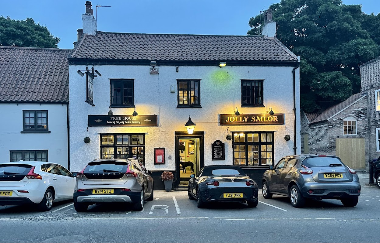
The Jolly Sailor Inn
The Jolly Sailor Inn in Cawood offers a charming stay with its historic pub atmosphere and delightful homemade meals. While the inn itself does not have dedicated parking, visitors can find pay-and-display options nearby in the picturesque village of Cawood, perfect for exploring the local area.
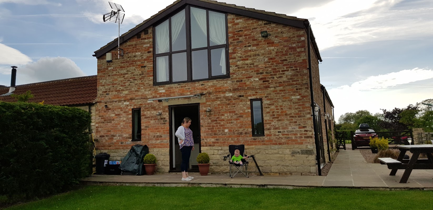
Tockwith Lodge Barn
Tockwith Lodge Barn offers a serene countryside retreat in Tockwith, just a short drive from York, Harrogate, and Knaresborough. While primarily a lodging facility, parking is likely to be pay-and-display, typical for rural accommodations in the area. Enjoy the peaceful surroundings and the charm of farm animals during your stay.
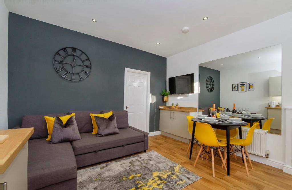
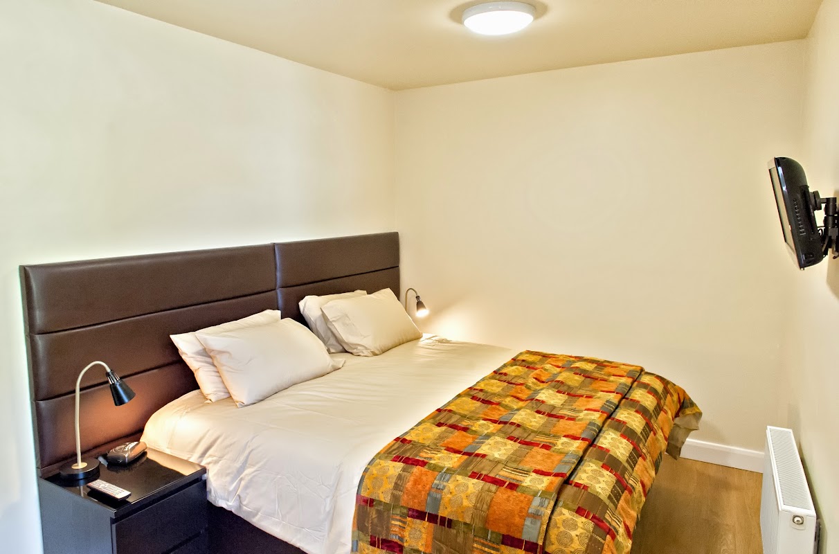
Swan Guest House & Short Stay Apartments
Offering spacious, spotlessly clean, and well-equipped short-stay apartments in the heart of Wetherby, ideal for exploring Yorkshire.
Things to Do in Oxton
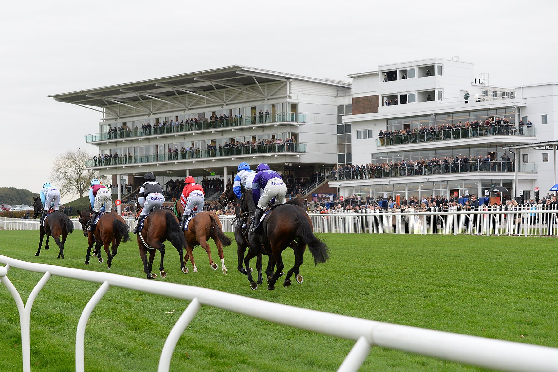
Wetherby Racecourse
Wetherby Racecourse is one of Yorkshire's premier racecourses.
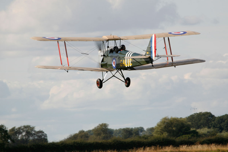
Tiger Moth Experience
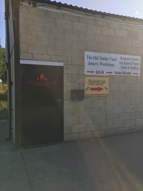
L R Strength Shed
L R Strength Shed in Wetherby is a highly-rated gym, renowned for its excellent equipment and supportive environment for strength training.
Food & Drink
The Jolly Sailor Inn
The Jolly Sailor Inn in Cawood offers a charming stay with its historic pub atmosphere and delightful homemade meals. While the inn itself does not have dedicated parking, visitors can find pay-and-display options nearby in the picturesque village of Cawood, perfect for exploring the local area.
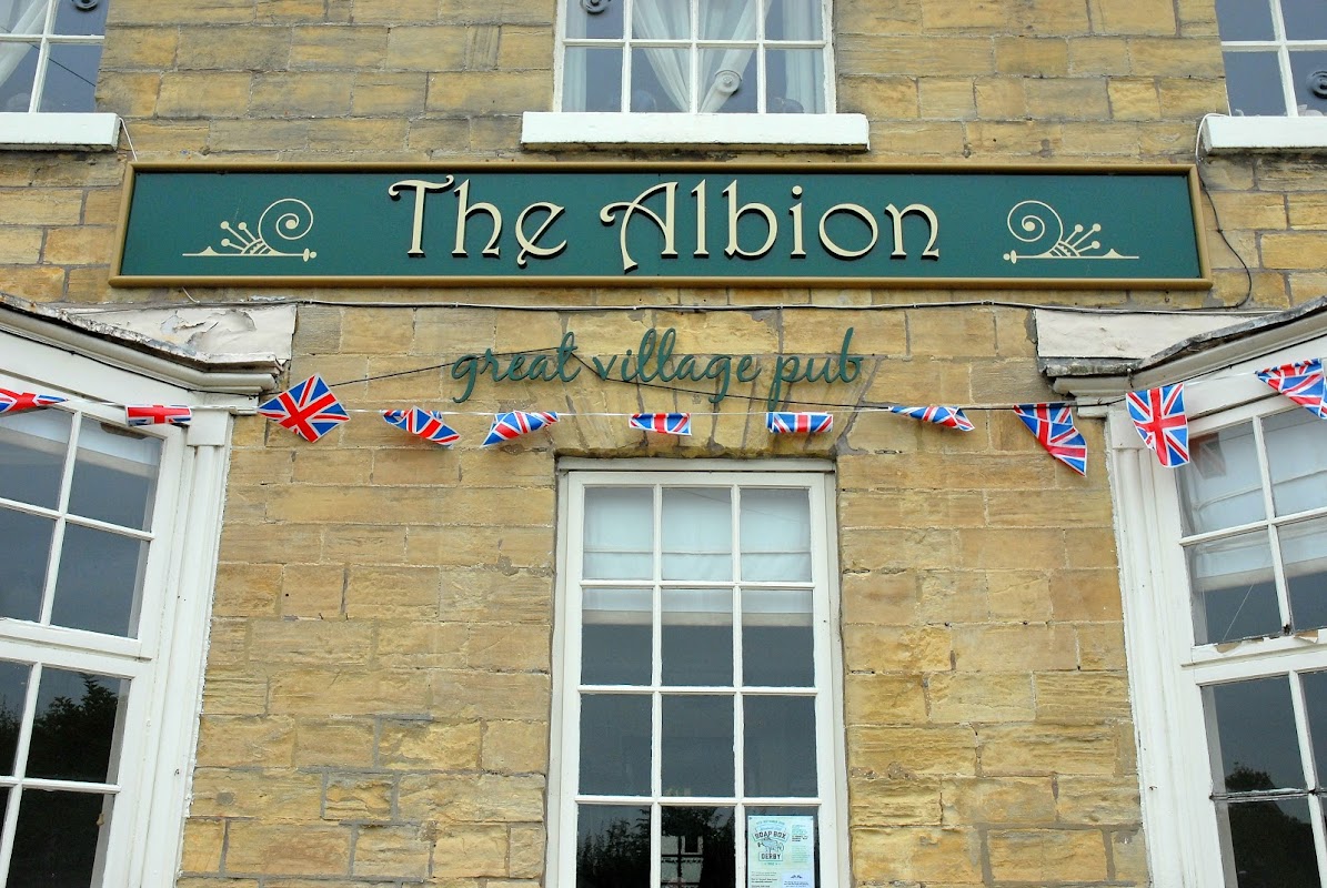
The Albion
The Albion in Clifford offers a convenient parking option for visitors, especially those traveling in motorhomes. Located just off the A1(M), this pub provides a welcoming atmosphere with friendly staff, making it an ideal stopover for a relaxing drink. Enjoy the charming setting and explore nearby attractions in Wetherby and Boston Spa.
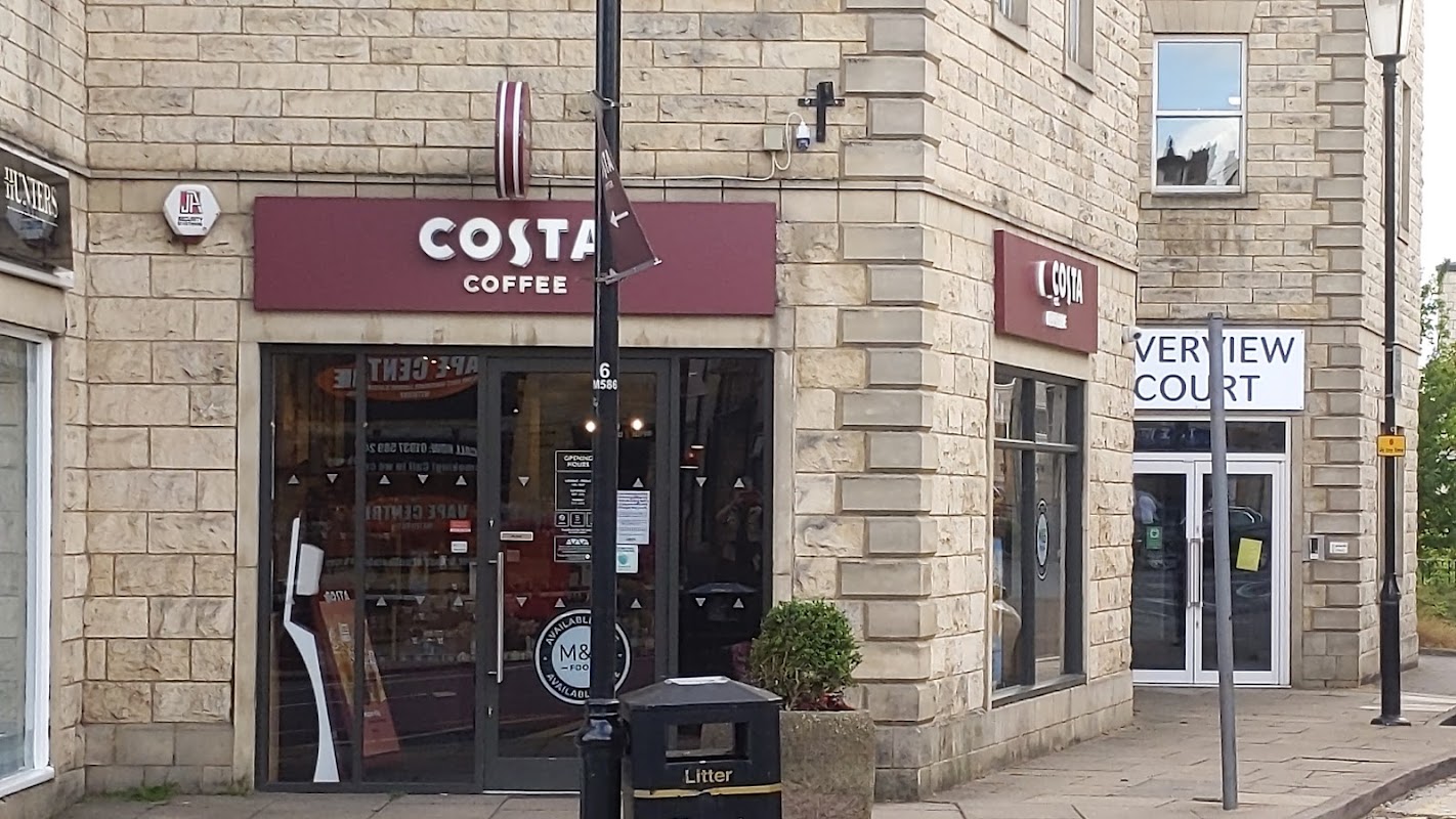
Costa Coffee
Enjoy a familiar favourite at Costa Coffee in Wetherby, offering a welcoming spot for hot drinks and snacks.

Interactive Map
View accommodation, attractions, restaurants, and events on the map
Areas of Oxton
Explore the different areas and suburbs of Oxton
Geographic Facts
This city is geographically within the following regions:





Latest news from Oxton
All Local News →
From Local Farm to National Shelves: How a North Yorkshire Rapeseed Oil Business Wins Listing with Garden Centre Chain
A North Yorkshire farm business, Charlie & Ivy's, has landed a major nationwide listing! Find their award-winning rapeseed oil bread dippers in Dobbies now.
Walkshire in Oxton
More Walks in Oxton →
Walk: Towton Battlefield Walk
Site of one of the bloodiest battles in the War of the Roses between the houses of York and Lancashire this walk is dripping with history as well as the beautiful landscape that now surrounds the area. The Route what3words for start point: ///harsh.weeknight.manages Start Point: Towton Finish Point: Saxton Distance: 4 Miles GPX Route Map towton-battlefield-1Download Walk Description 29 March 1461 was the date of the battle of Towton one of the decisive battles in the War of the Roses one you too can walk in the footsteps of kings and imagine the historic conflict unfolding over this beautiful landscape. The victory of the Yorkists here was the turning point in the struggle and placed Edward IV on the throne. Starting from the village you can follow the route and learn about the people, the landscape and the 28,000 causalities in the battle from the excellent information boards provided. You'll learn why bloody meadow is so named!! Make sure you finish by the Towton Cross which was erected to commemorate those that fell on the field on that fateful day.

Towton Battlefield Trail
The Towton Battlefield Trail takes you through the site of what is alleged to be the largest and bloodiest battle ever fought on English soil. The Route What3Words reference: ///standing.foresight.incensed Start / Finish Point: Main St, Towton, Tadcaster LS24 9PB Distance: 4 Miles GPX Route Map towton-battlefield-trailDownload Walk Description In March 1461, Towton, near Tadcaster, was the setting for one of the most enormous (both in terms of importance and scale) battles in the Wars of the Roses. On Palm Sunday, 50,000 men are thought to have clashed. The battle between York and Lancaster men saw at least 800 men killed and the monarchy change hands from Henry VI to Edward IV. Towton was a decisive victory for the Yorkists and left the House of Lancaster in turmoil. The history of the location lends intrigue and gravity to the wonderful views of the North Yorkshire countryside. You can learn much more about the history and see artefacts at the Visitor’s Information Centre in the grounds of the Crooked Billet pub. In 1929, the Towton Cross was erected on the battlefield and you will see it on the trail. The walk is a signposted circuit of the battlefield beginning in Towton Village. Head west on Old London Road and then following the signs for the Towton Battlefield Trail. Follow the trail and you will come across information signs detailing the history of the land. It may be muddy this time of year so bring your walking boots. Although it is a much safer walk than if you were to walk it in March 1461! Guides are available twice a month from the Towton Battlefield Society in a 2-and-a-half-mile informative route from a history enthusiast.

Walk: Tadcaster Viaduct Walk
This 11 arch viaduct dominates the river Wharfe at Tadcaster and is great vantage point to see the town and river, well worth a stroll across for the pictures you'll take alone. The Route what3words for start point: ///envelope.streaks.implanted Start Point: Tadcaster Finish Point: Tadcaster Distance: 2 Miles GPX Route Map tadcaster-viaduct-walkDownload Walk Description A lovely little walk around this amazing town. Despite being known as the home of the brewing industry in the region, Tadcaster has a lot to offer in terms of architecture you'll see on this short stroll. Starting in on Bridge Street this walk follows the river to the viaduct that was originally built for the railway in the 1840's. Now open to pedestrians, the structure is a great viewing point on the River Wharfe. Whilst in the town make sure you check the 15th century building known as the Ark, a fantastic example of a period building as well as the hospitability of the brewing industry.