
Discover Pollington
Pollington is a village in Yorkshire, located in the East Riding of Yorkshire. With a population of 998, it has a postal code of DN14 and a dialing code of 01405. The village is primarily residential and is close to the larger town of Goole, providing access to local amenities.
Explore the map below to discover accommodation, attractions, restaurants, and live events across Pollington. Scroll down to browse featured listings and plan your perfect visit.
Property in Pollington
Explore 6 properties in Pollington — homes and commercial listings for sale and to rent. Start with detached houses, semi-detached houses, or bungalows.
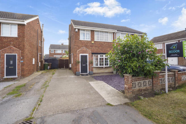

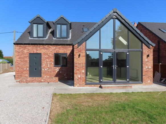
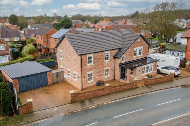
4 Bed Detached House - Bridge Lane, Pollington
£475,000
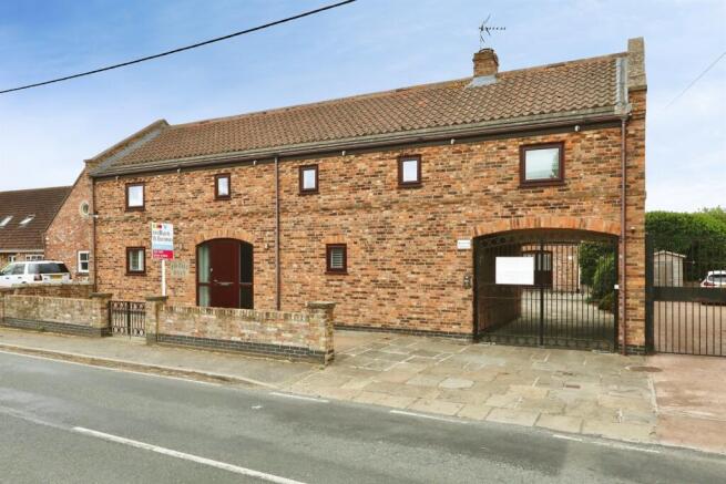
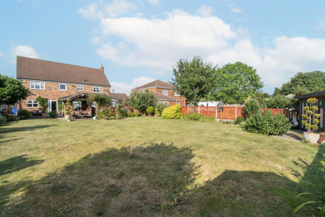
5 Bed Detached House - Mulberry House, Pollington
£650,000
Browse by type
Stay in Pollington
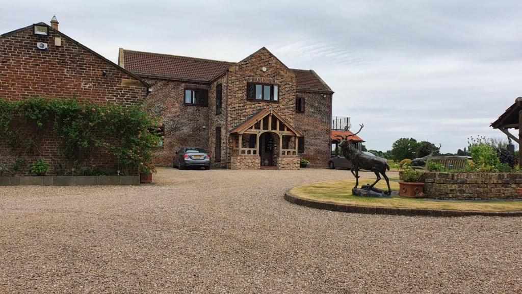


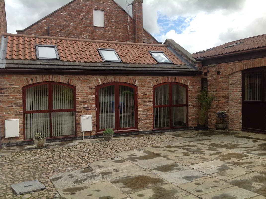
Fir Tree Barn Guest House Pollington
Fir Tree Barn Guest House in Pollington offers a serene lodging experience with the added convenience of secure parking, making it an ideal stopover for travelers exploring Yorkshire. Located in a quiet area, this charming B&B provides a comfortable stay with a self-service continental breakfast and spacious rooms.
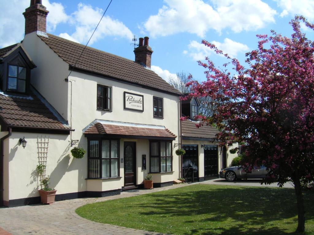
Parkside Guest House
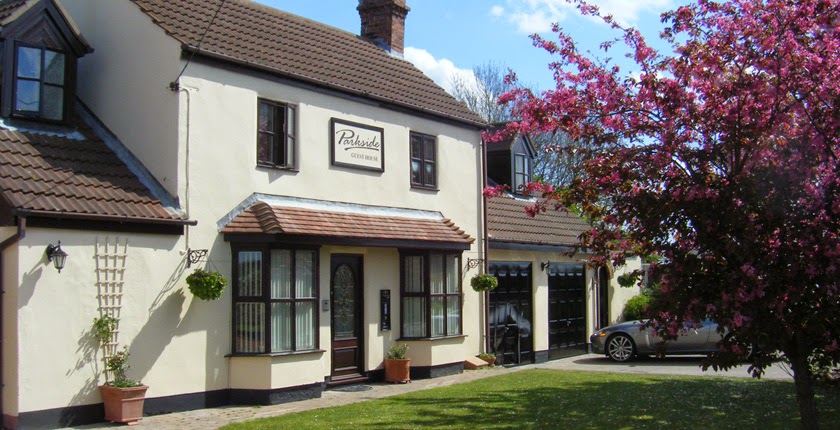
Parkside Guest House
Parkside Guest House in Pollington offers a peaceful retreat with convenient parking options for guests exploring the Yorkshire area. While the guesthouse itself provides a cozy and welcoming atmosphere, visitors should be prepared for standard pay-and-display parking arrangements nearby. Enjoy the communal kitchen, game room, and garden amenities during your stay.
Browse by Type
Things to Do in Pollington
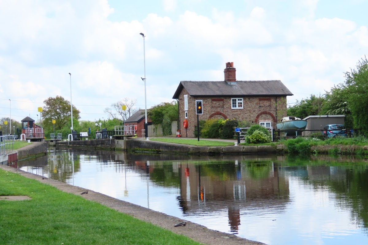
Pollington Village Hall
Pollington Village Hall offers a convenient parking area for visitors exploring the charming village of Pollington. While the parking surface may not be pristine, it provides ample space for those attending events at the hall or enjoying the nearby playing fields. This location is ideal for tourists looking to experience local village life in a picturesque setting.
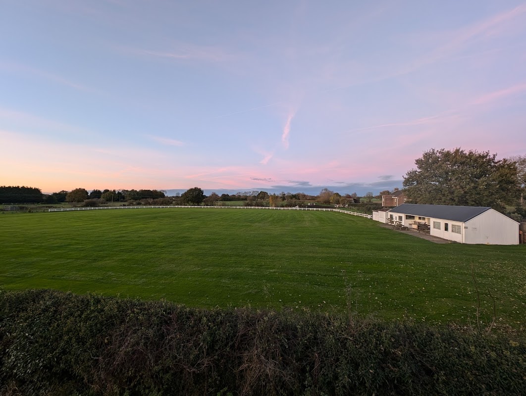
Hirst Courtney Cricket Club
Hirst Courtney Cricket Club offers convenient parking for visitors looking to enjoy a day of cricket in the charming village of Hirst Courtney. Located on Back Lane, this facility is perfect for sports enthusiasts and those exploring the Selby area. While payment options are not specified, it is advisable to prepare for standard pay-and-display arrangements.
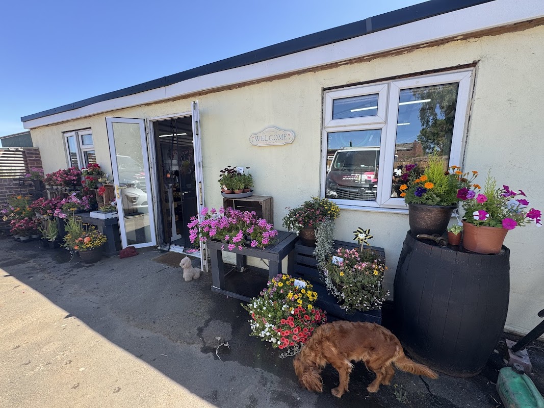
Peartree nurseries
Peartree Nurseries in Great Heck offers convenient parking for visitors exploring the charming village of Goole. While specific payment options are unknown, it is likely a standard pay-and-display facility, ensuring easy access to the surrounding attractions. Enjoy a peaceful visit to the nearby gardens and parks.
Food & Drink
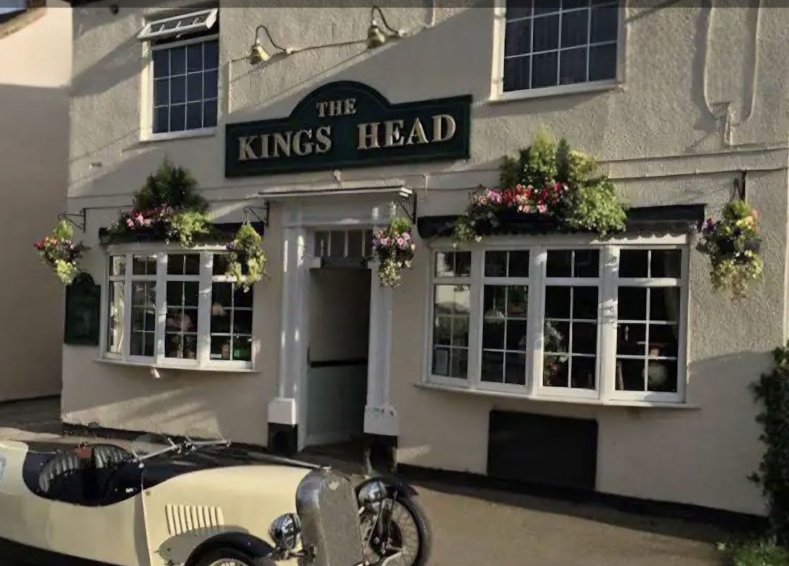
Kings Head - Pollington
Located in the charming village of Pollington, the Kings Head offers convenient parking for visitors looking to enjoy a delightful meal at this highly-rated pub and restaurant. With easy access from Main Street, this facility provides a great starting point for exploring the local area.
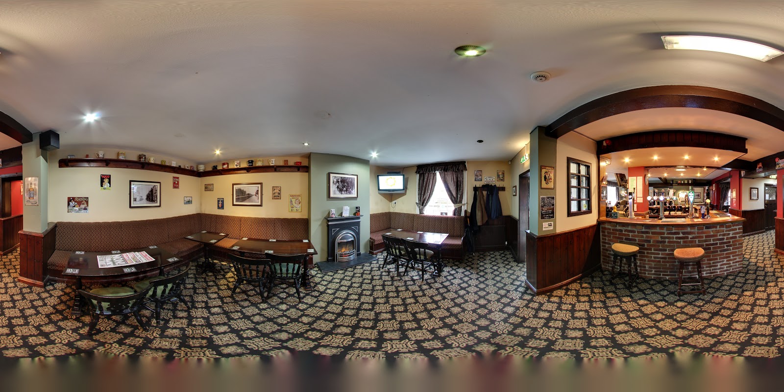
Black Lion
Located in the charming village of East Cowick, the Black Lion offers a welcoming atmosphere with its classic pub setting. Visitors can enjoy a variety of drinks, including local ales, in a friendly environment. While the pub itself doesn't explicitly mention parking facilities, the surrounding area typically offers pay-and-display options for convenience.
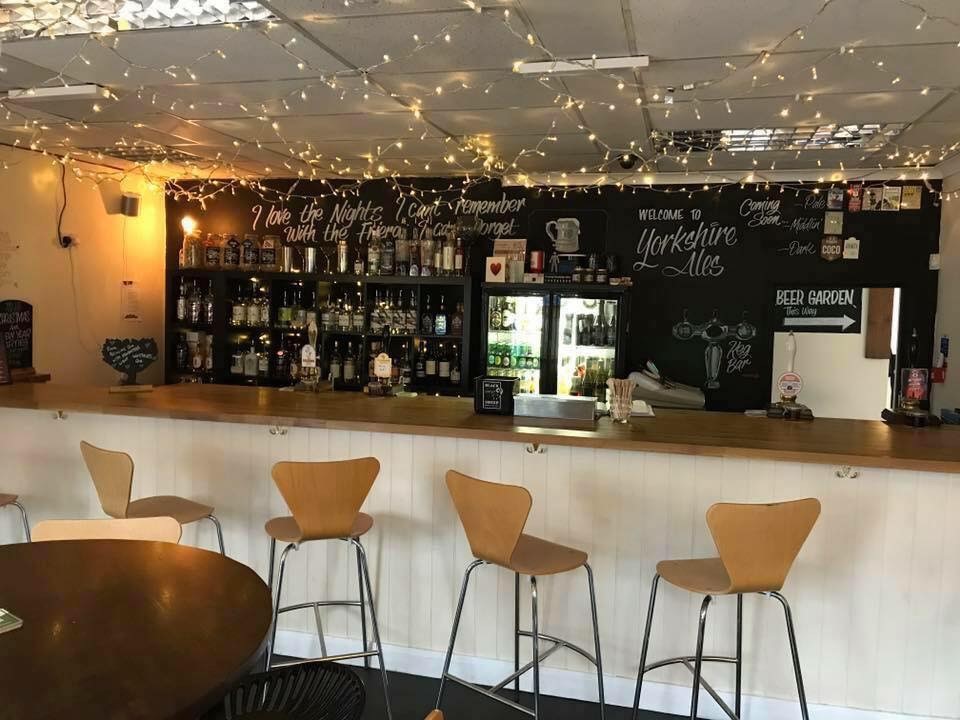
Browse by Type

Interactive Map
View accommodation, attractions, restaurants, and events on the map
Geographic Facts
This village is geographically within the following regions:
- Population
- 998
- Dialing code
- 01405
Data sourced from Wikidata and verified public records
Upcoming Events in Pollington
View All Events in Pollington →

Walkshire in Pollington
More Walks in Pollington →
Walk: East Cowick Circular
This easy walk starting from East Cowick Village Hall near Snaith in East Yorkshire has 17 numbered sign posts to guide you round the circuit with splendid views, riverside walking, a wooded area and a pleasant mix of walking surfaces. The Route what3words for start point: ///scooped.groom.certainly Start / Finish Point: East Cowick Village Hall, East Cowick Snaith Road, Goole, DN14 9EP Distance: 4 Miles GPX Route Map eastcowickfully-waymarkedcircularwalkDownload Walk Description There is no need for directions here, simply follow the sign posts. You can go clockwise or anti clockwise and wherever you start, you will come back to the same point. We recommend you start at East Cowick Village Hall, at Sign Post Number 1, then head on the roadside to Post Number 2. At Post Number 14, there is an opportunity to take a short diversion to visit Snaith Ponds, a haven for wildlife.

Walk: Carlton West and the River Aire
This is a pleasant easy circular walk with stunning views of the river. There are also great views of Snaith, Carlton Towers Lake and the remains of an ancient bridge. The Route what3words for start point: ///pairings.appoints.public Start / Finish Point: Snaith Station, DN14 9HY Distance: 3.4 Miles GPX Route Map carltonwestandtheriveraireDownload Walk Description Leave the Station Car Park through the pedestrian Gate and turn right. Follow the pavement on to the bridge. Stop on the bridge to watch the river and to observe the remains of the toll bridge built in 1777. Its constriction enabled a turnpike road to be created between Bawtry and Selby. Carry on walking, past the lake. During the first half of the 20th century(until 1961) the frozen lake was the venue for the Yorkshire ice skating championships. Notice the ice skates depicted on the CARLTON sign as you carry on walking to the mouth of Carlton Towers main entrance Cross the road. EXTREME CAUTION. BUSY ROAD. Walk along Low Street until you reach Hirst Road. There is a footpath on the bank on the left hand side. Walk on the footpath until you are opposite Hanger Lane. Cross the road WITH CARE and walk up Hanger Lane. Continue up Hanger Lane until you reach a track on the left. Turn left on the track and keep on it until you reach Hirst Road. Turn left and walk along the right hand side of Hirst Road. No pavement TAKE CARE. You are now on a section of The Trans- Pennine Trail. After the bungalow, turn right towards the farm.13.Go through the pedestrian gate on the left on to the flood bank. Walk along the flood bank with great views of the bridge and Snaith Church. At the end of the flood bank, go through the pedestrian gate and up the hill on to the pavement. Turn right and walk across the bridge, observing the tidal river in the opposite direction. When it is safe to do so, cross the road on to the opposite pavement and return to Snaith Station.

Walk: Pollington Canal, Cowick Gorse and Dorr Lane
This circular walk through the countryside to Pollington uses part of The Trans Pennine Trail. There are splendid views of the canal and an optional diversion to Pollington Lock. The nearest shops and food outlets are in Snaith. The Route what3words for start point: ///pairings.appoints.public Start Point: Snaith Station Car Park DN14 9HY SE643223 Finish Point: Snaith Station Car Park Distance: 7.75 Miles GPX Route Map pollingtoncanalcowickgorseanddorrlanewalkDownload Walk Description A mixture of road, field side, track and canal side walking under a wide-open sky are the features of this Heritage Walk. (HW no7) There are 15 Heritage Walks in this area and walk packs are available locally. Details are given on the Walkers Information Board at the station. Leave the car park through the vehicle entrance and turn left on George Street. Look out for a community path on the right. Walk up the path, passing a Blue Plaque that highlights the old primary school. At the end of the path, there is a HERITAGE BOARD giving the history of the Methodist Church that you have passed. Turn left, cross the road at the bollards and then turn left. Turn right up Mill Lane and follow the lane round a left-hand bend. Look out for a way marker to a very narrow footpath. Go down the footpath, turn right at the end and then left down Finnley’s Lane. Go over the motorway bridge and just before the bottom of the hill, turn right on a footpath.10 Follow the way-markers around the wood, over a dyke, through a camp and out onto a road. Turn right on a track and round a left-hand bend. Ignore a right fork and walk straight forward, eventually alongside Cowick Gorse. At the end of this section, turn right, eventually reaching the canal bank. Follow the canal bank and then a tarmac lane which leads to a bridge over the canal. Good views along the canal to Pollington Lock. An optional diversion from here along the left bank to the lock and a HERITAGE BOARD will add a total of one mile to your journey. From the bridge, bear left up the lane which will lead to Long Lane. Walk alongside Long Lane, over the motorway to the main road. Cross the main road, turn right and then left down Dorr Lane. This is an ancient green lane and was the burial route from Pollington to the graveyard at Snaith Church. At the top of a slight rise, turn right onto a footpath. Keep on this footpath all the way to Church Lane. Turn right and left passing the church. Turn left down Buttermarket and then right on Mill Street and back to the station.

Walk: Aristocrats and Kings Walk
A Heritage Walk around the countryside at Snaith that passes a former brewery but focuses on aristocratic families from the past and kings who came here to hunt and to relax. The Route what3words for start point: ///pairings.appoints.public Start Point: Snaith Train Station Car Park, Goole DN14 9HY Finish Point: Snaith Train Station Car Park, Goole DN14 9HY Distance: 4.25 Miles GPX Route Map aristocratsandkingswalkDownload Walk Description Before you start walking, you may want to look at the HERITAGE BOARD called A RICH HERITAGE that tells the story of 5 local aristocratic families. Leave Snaith Station Car Park through the pedestrian gate, turn right and bear right down Ferry Lane. Stop at the HERITAGE BOARD- The Story of Snaith’s River, sited next to the old toll bridge, built by Thomas Stapleton of Carlton Towers in 1777.3.Walk on the riverbank( Carlton Towers may be visible) until you reach a signpost, where you need to turn right, through a gate. Walk on the track on the right-hand side of the field to a gate. Go through the gate and turn left. Walk alongside the beck to another gate. Go through to a footpath junction. Turn right, go over the level crossing and up to the main road. Cross the main road to the entrance to the grounds of Cowick Hall. You will see a HERITAGE BOARD to the right of the entrance that outlines the history of the Dawnay family that lived here. Walk straight forward and then turn left on Little London Lane. The name gives a clue to the upcoming link to kings. Follow the lane to the end, where a gate takes you on to a track. Follow the track to another HERITAGE BOARD. This one tells the story of a hunting lodge that was eventually converted into a Manor House. Continue along the footpath that leads on to a road. TAKE CARE. Turn right and then first left onto another footpath that goes through a wooded area and leads onto a tarmac lane. As you walk along, you will see buildings that were part of an award winning brewery. You will find the full story of the brewery on a HERITAGE BOARD sited on the triangle of grass at the top of the lane. Just before the triangle, you need to turn left, through a gap in the hedge onto a footpath, through a gate and on to a track. At the end of the track, turn right and walk all the way to the main road in the distance. On the way, notice Snaith Hall, behind the petrol station. Turn right and walk to the second pedestrian crossing. Cross here, then walk back to the station.