
Discover Port mulgrave
Welcome to Port mulgrave, a village located in Yorkshire. Explore local things to do, find places to stay, and discover beautiful walks in the surrounding area.
Explore the map below to discover accommodation, attractions, restaurants, and live events across Port mulgrave. Scroll down to browse featured listings and plan your perfect visit.
Stay in Port mulgrave
Palmers
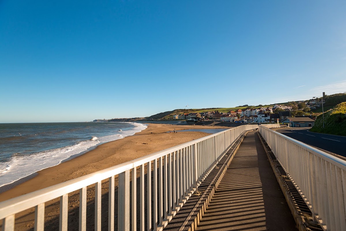
Palmers is situated in the picturesque area of Port Mulgrave, offering convenient parking options for visitors exploring the scenic Saltburn-by-the-Sea region. While the exact payment options are unknown, it is likely a standard pay-and-display facility, providing easy access to nearby attractions and accommodations.
Rosedale Holiday Cottages - Port Mulgrave Cottages
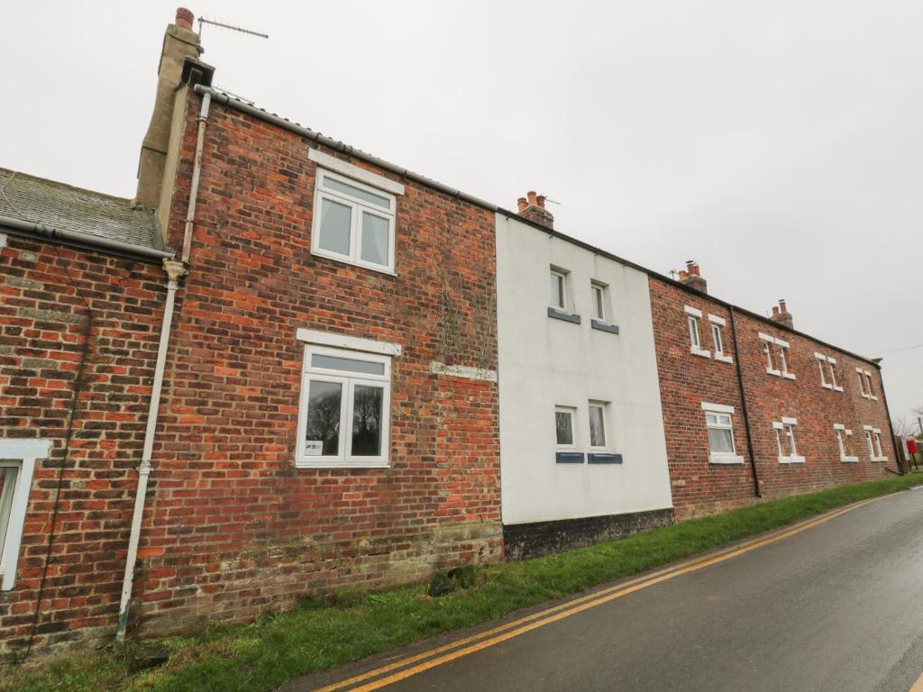
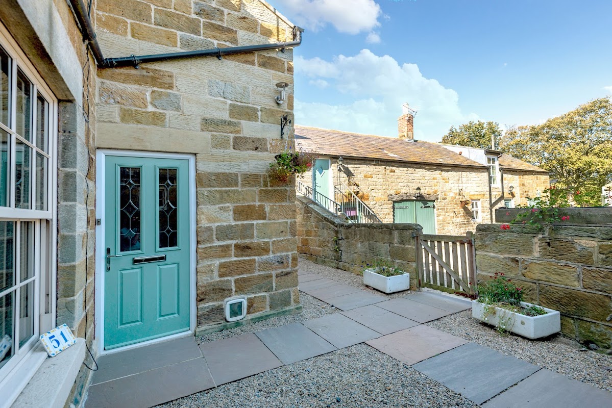
Rosedale Holiday Cottages in Port Mulgrave offers a charming retreat with beautiful coastal views and easy access to nearby beaches and village amenities. While the parking specifics are not detailed, visitors can likely expect standard pay-and-display options typical of the area. Enjoy a relaxing stay with plenty of walking opportunities right from your doorstep.
Captain Cook Inn
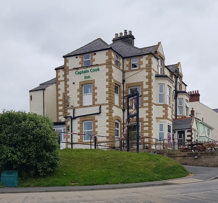
Located in the charming village of Staithes, the Captain Cook Inn offers convenient parking for visitors exploring the picturesque surroundings. Ideal for tourists looking to enjoy the local hospitality and scenic views, this parking option ensures easy access to the inn's cozy accommodations and delightful dining experiences.
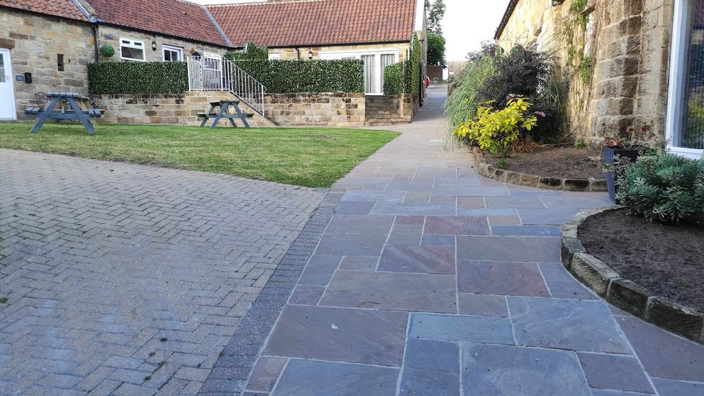
St Hilda's Complex
St Hilda's Complex offers convenient parking for guests visiting the charming village of Hinderwell, near Saltburn-by-the-Sea. While the payment options are not explicitly mentioned, it is likely a standard pay-and-display facility, ensuring easy access for those exploring the local attractions. The complex is known for its welcoming atmosphere and beautifully themed accommodations.
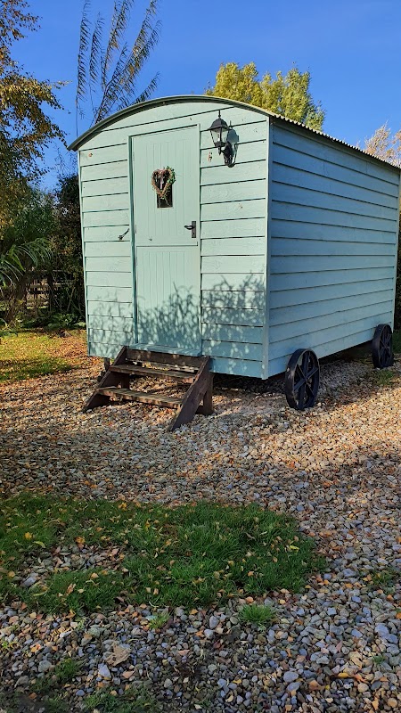
Serenity Camping
Serenity Camping in Hinderwell offers a tranquil retreat with ample parking space for campervans, surrounded by scenic views of hills and nearby horses. Conveniently located near a pub and a chippy, this campsite provides spotless facilities, making it an ideal choice for nature-loving tourists exploring the Yorkshire area.
Browse by Type
Things to Do in Port mulgrave
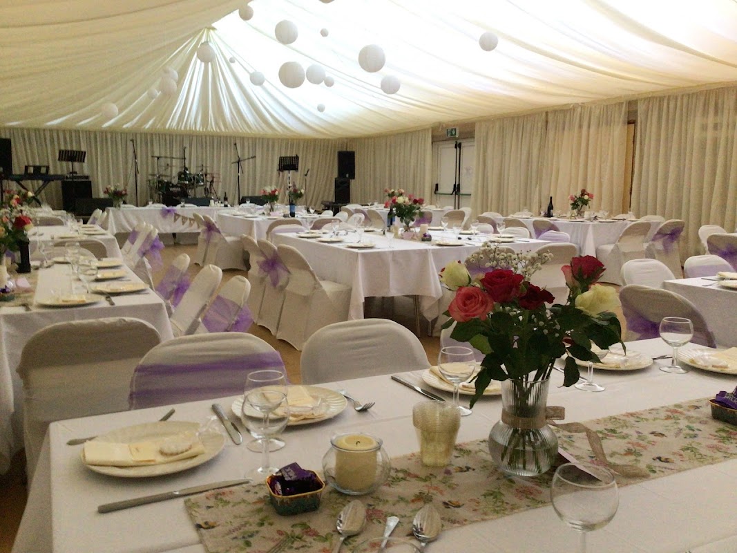
Hinderwell Village Hall
Located in the charming village of Hinderwell, the Hinderwell Village Hall offers convenient parking for visitors attending events at this versatile venue. While the payment options are not specified, it is advisable to prepare for standard pay-and-display parking. Enjoy the scenic surroundings of Saltburn-by-the-Sea as you explore this quaint area.
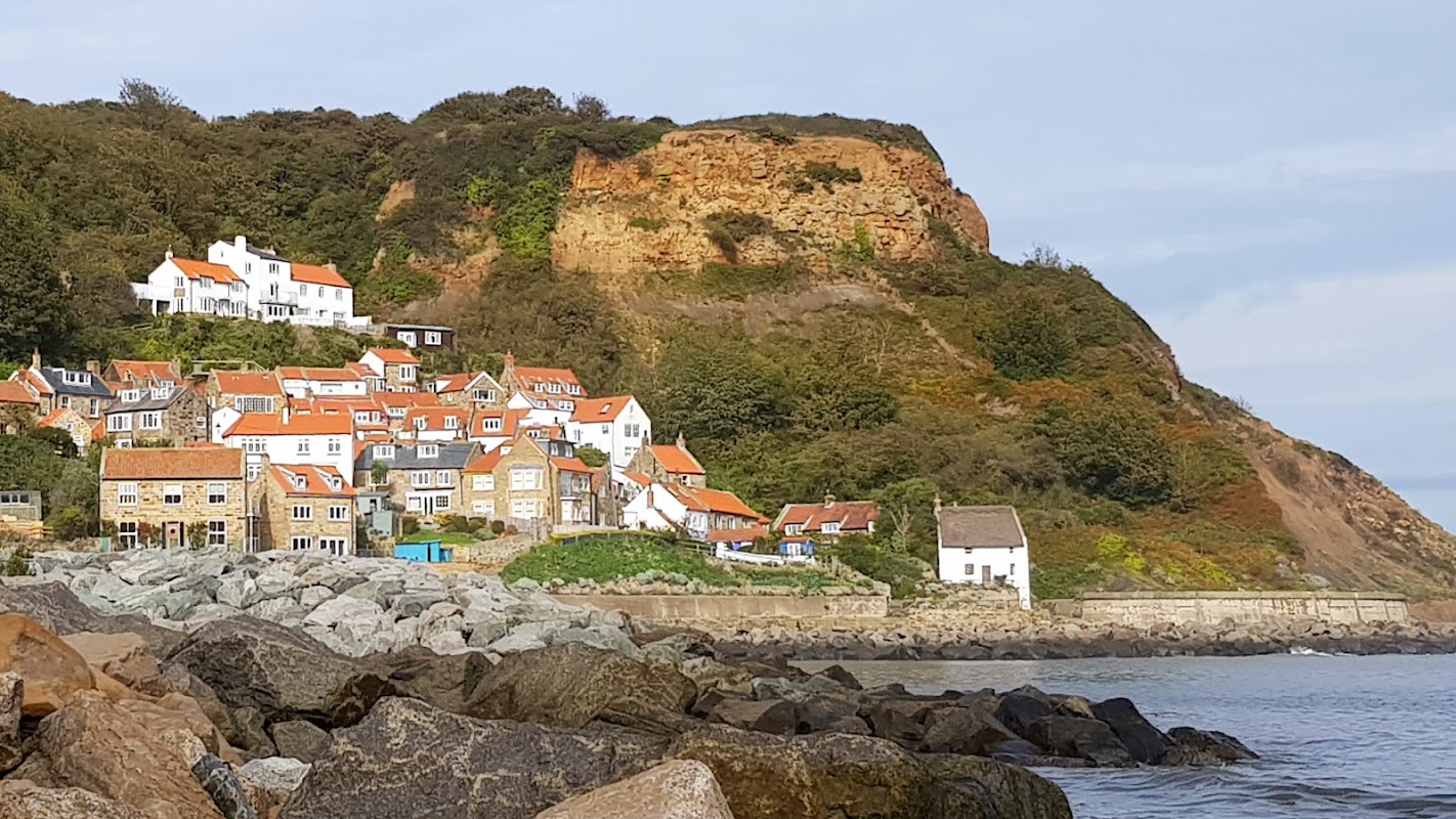
Runswick Bay
Runswick Bay offers tranquil coastal beauty, perfect for fossil hunting, scenic walks, and enjoying stunning Yorkshire sea views.
Browse by Type
Food & Drink
Captain Cook Inn
Located in the charming village of Staithes, the Captain Cook Inn offers convenient parking for visitors exploring the picturesque surroundings. Ideal for tourists looking to enjoy the local hospitality and scenic views, this parking option ensures easy access to the inn's cozy accommodations and delightful dining experiences.

White Hart Inn
The White Hart Inn in Mickleby offers convenient parking options for visitors exploring the picturesque area between the A171 moors road and the A1. While the pub itself is a charming spot for social events and a friendly atmosphere, parking is typically pay-and-display, ensuring easy access for those driving in to enjoy the local hospitality.
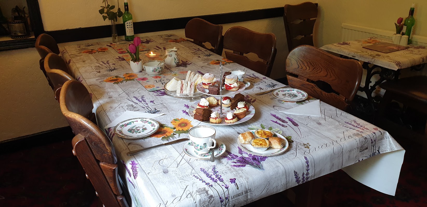
The Fox & Hounds
Located in the charming village of Hinderwell, The Fox & Hounds offers convenient parking for visitors exploring the picturesque surroundings of Staithes and Saltburn-by-the-Sea. While enjoying a delightful meal at this traditional pub, guests can easily access nearby attractions with standard pay-and-display parking options available.
Browse by Type

Interactive Map
View accommodation, attractions, restaurants, and events on the map
Geographic Facts
This village is geographically within the following regions:
Upcoming Events in Port mulgrave
View All Events in Port mulgrave →




Latest news from Port mulgrave
All Local News →
VisitEngland Launches ‘My Coast Has The Most’ Campaign for Coastal Tourism in July 2026
Join the 'My coast has the most...' campaign from 29 June to 5 July 2026 to celebrate England's stunning coastline and support local tourism.
Walkshire in Port mulgrave
More Walks in Port mulgrave →
Walk: Cleveland Way National Trail
The 109 mile horseshoe-shaped Cleveland Way starts in the wonderful market town of Helmsley before stretching across the breathtaking heather moorland of the North York Moors National Park then returning south along the coast from Saltburn-by-the-Sea. The Route Start Point: Helmsley Finish Point: Filey Distance: 109 miles GPX Route Map cleveland-wayDownload Walk Description what3words for start point: ///expose.billiard.walnuts The 109 mile horseshoe-shaped Cleveland Way starts in the wonderful market town of Helmsley before stretching across the breathtaking heather moorland of the North York Moors National Park then returning south along the coast from Saltburn-by-the-Sea. The route progresses along the North Yorkshire coastline to Filey, passing old fishing villages and bustling coastal towns. The National Trail runs through the smuggler’s village of Robin Hood’s Bay and the fantastic seaside resorts of Scarborough and Whitby You can walk the Cleveland Way at any time of year but if you want to see the moorland heather in bloom, the best time to visit is late August and early September. It is better to walk it in a clockwise direction from Helmsley to Filey with the wind behind you. It can be challenging in places, especially along the coastal areas. There are plenty of shorter circular walks that incorporate stretches of the path that can be completed in a day.

National Trails
We're lucky to have four of Britain's finest National Trails here in Yorkshire. So take your pick. The Cleveland Way roller-coasts around the North York Moors from Helmsley to the coast. The Yorkshire Wolds Way rambles through peaceful fields and over gentle chalk-hills. Or for something more strenuous, the Pennine Way strides through the Yorkshire Dales on its mammoth journey from the Peak District to Scotland. Or maybe the purpose built Pennine Bridleway is your kind of walk, bike or horse ride? Try a Trail One of the best things about these trails, apart from the amazing scenery, is how easy it is to sample them. You don't have to do the whole thing end-to-end. And you don't have to be hardy hiker. You can stroll along a route for a few hours then loop back to your start-point. Once you've sampled a few days on one of Yorkshire's National Trails, walking a route in its entirety will surely be your next aim. It may take a week or longer, but the sense of achievement is supreme, while close contact with the natural environment provides its own spiritual rewards - and it doesn't do the waistline any harm either. Walkers come in all different varieties. Some like to do it in style, staying at good B&Bs and having their luggage brought on each day by a baggage handling company, while many like to enjoy shorter walks just for the day. But there's still a place for the hardy hiker seeking the thrill and challenge of being exposed to some of the most outstanding scenery in Britain. Cleveland Way Distance: 109 miles (98 miles in Yorkshire)Duration: 9 daysStart: Helmsley, North YorkshireFinish: Filey Brigg, North Yorkshire GPX Route Map cleveland-wayDownload Follow the fantastic scenery of the North York Moors National Park, crossing stunning lengths of heather moorland and providing spectacular views of the North Yorkshire coastline. Starting from the attractive market town of Helmsley, the trail heads across the inspirational, and sometimes vibrant heather moorland of the North York Moors, before reaching the coast at Saltburn. From here it's a visual feast along the dramatic North Yorkshire coastline to Filey, passing old fishing villages and lively coastal towns, including Staithes and Whitby. Along the way there is a wealth of history and heritage to enjoy. Helmsley Castle, Rievaulx Abbey, Mount Grace Priory, Gisborough Priory, Whitby Abbey and Scarborough Castle to name just a few special sites. A good level of fitness is needed to walk the whole route in one go, especially if you carry your own gear. However you can do a short section or a day walk which would be much easier. The distance you walk is entirely up to you - maybe you'll enjoy a few hours steady saunter, or maybe a few days trekking. Accommodation and pubs are great along the route. You're sure to get a warm Yorkshire welcome! The shoulder seasons in spring and autumn are good times to walk the Way. It will be quieter and it can be easier to book accommodation. Filey Brigg is also the northern end of the Yorkshire Wolds Way, so why not keep going for another week of waking on one of Yorkshire's Top Trails? For a real test of stamina, if you can manage another 48 miles walking, follow the Tabular Hills Walk between Scarborough and Helmsley, to complete the circuit around the North York Moors National Park, and you'll be able to travel by train to Scarborough, Whitby, Saltburn, Great Ayton or Kildale to start it. Pennine Way Distance: 270 miles (80 miles in Yorkshire)Duration: 6 to 19 daysStart: Edale, Peak DistrictFinish: Kirk Yetholm in the Scottish Borders The Way takes you from the Peak District along the Pennine ridge, through the Yorkshire Dales and beyond. There are plenty of historical and cultural interest sites along the way to be enjoyed too. Starting at the scene of the Kinder Scout mass trespasses of the 1930s, walk through the Southern Pennines, the cradle of the Industrial Revolution, pass Haworth, home of the Brontë sisters, across the limestone country of the Yorkshire Dales, and enter an area renowned for its lead mining history. Finally you'll reach the Roman Wall and beyond that the territory of the Scottish Border rivers. The Pennine Way takes you into isolated country. As with all walks, sound planning is important. Brush up your navigation skills, carry the appropriate large-scale maps and know how to use them. There are sections of the route, especially at each end, which require careful thought about accommodation and advance booking is advisable at most times of the year. It's a life affirming (possibly changing) experience. Pennine Bridleway Distance: 350 miles (when complete) GPX Route Map penninebridlewayelev20200819Download The Pennine Bridleway is one of the newest National Trails and the first purpose built trail of its kind designed specifically for horse-riders, off-road cyclists and walkers to enjoy. The entire Pennine Bridleway will eventually run for 350 miles (560km) from the High Peak Trail in Derbyshire to Byrness, Northumberland. It follows a mix of old packhorse routes and drove roads, often sensitively refurbished and upgraded, linked with newly created stretches of bridleway. It's well signposted and maintained, which means you don't have to be a serious mountain biker to enjoy some of our finest mountain bike country. Open sections include 73 miles through Derbyshire to the South Pennines, the 47 mile Mary Towneley Loop, which runs close to Todmorden, and the 10 mile Settle Loop in the Yorkshire Dales. Yorkshire Wolds Way Distance: 79 milesDuration: 6 daysStart: Hessle, East YorkshireFinish: Filey, North Yorkshire yorkshire-wolds-wayDownload A National Trail to savour. It's not too strenuous and offers a route where the peace and quiet of country life still dominate and the gentle charm of the Yorkshire Wolds leaves the walker refreshed in body and spirit. As well as being a National Trail, the Wolds Way National Trail forms part of the E2 European walking route. If you're looking for your first National Trail to walk, then the Yorkshire Wolds Way gives you a not too challenging introduction. It's only 79-miles long and the Wolds make for easier walking than the North Yorks Moors, the Dales and the rest of the Pennines in Yorkshire. To make things even easier there are train stations near the start of the walk on the shore of the Humber estuary in Hessle and its North Sea coast end in Filey.