
Discover Pudsey
Pudsey is a town located in West Yorkshire, governed by Leeds City Council. With a population of approximately 25,000, it falls within the LS28 postcode area. Historically part of the West Riding of Yorkshire, Pudsey is known for its traditional markets and proximity to the city of Leeds, making it a vibrant residential spot.
Explore the map below to discover accommodation, attractions, restaurants, and live events across Pudsey. Scroll down to browse featured listings and plan your perfect visit.
Property in Pudsey
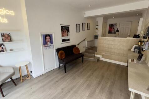
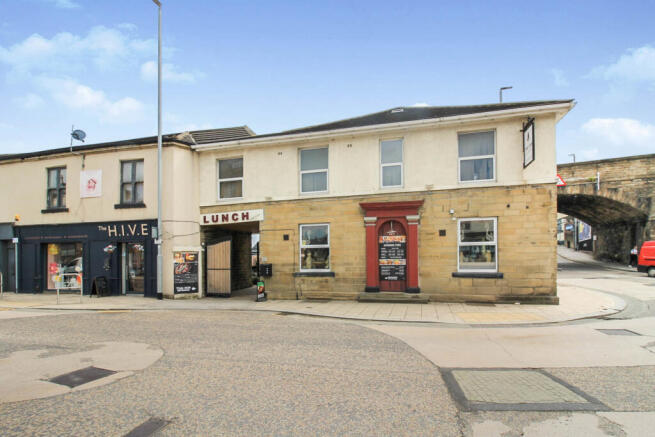
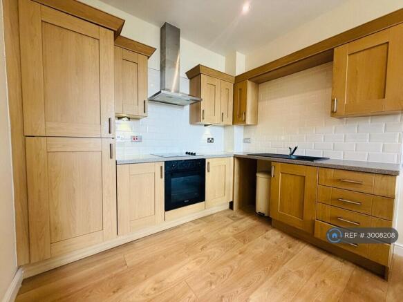
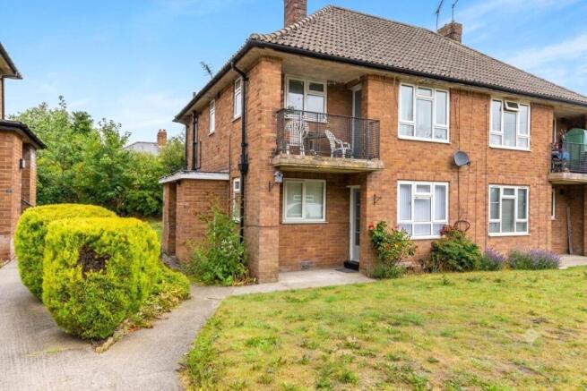
Explore 201 properties in Pudsey — homes and commercial listings for sale and to rent. Start with detached houses, semi-detached houses, terraced houses, or flats & apartments.
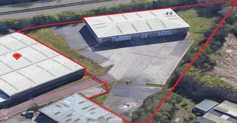
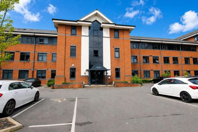
Warehouse to Rent - Units 4 & 5, Pudsey
£110,000 pcm
Stay in Pudsey
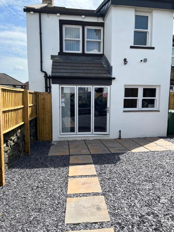
1 bed Luxury Home in Leeds with optional Hot Tub
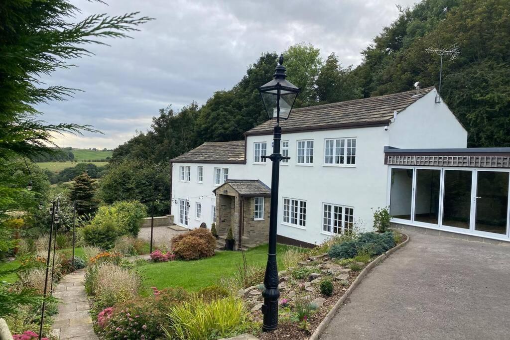
Coach House, 5.8 Acres with hot Tub and Lake
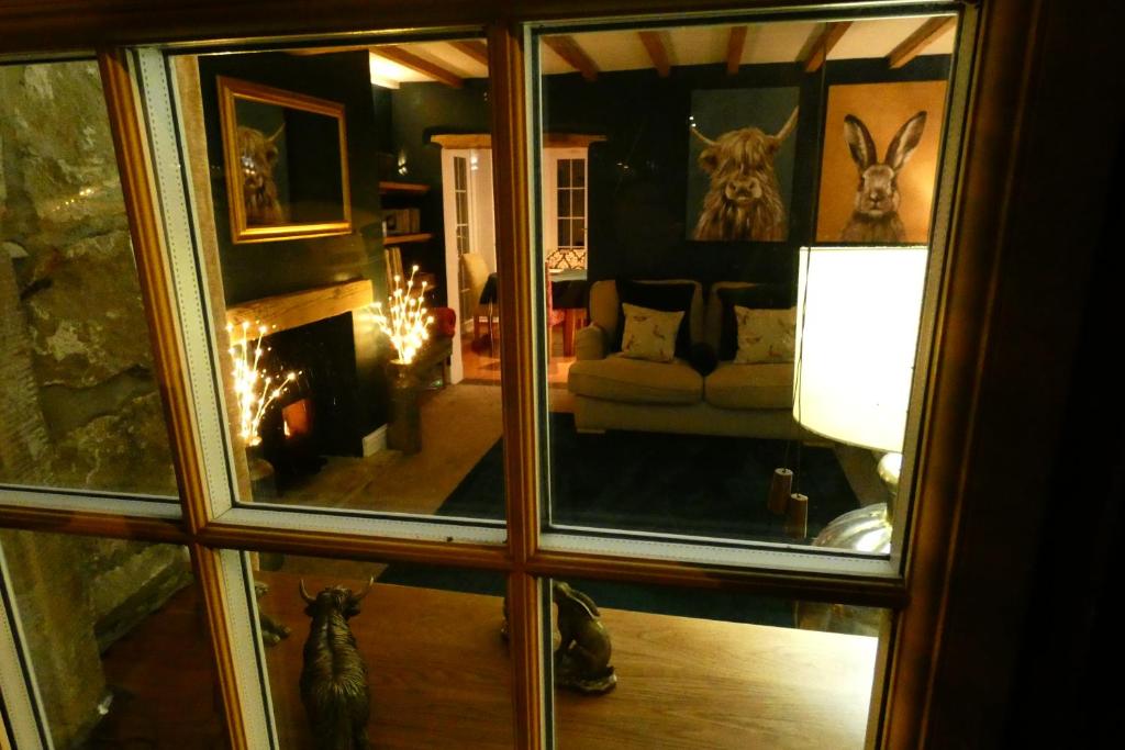
Redfearn Cottage
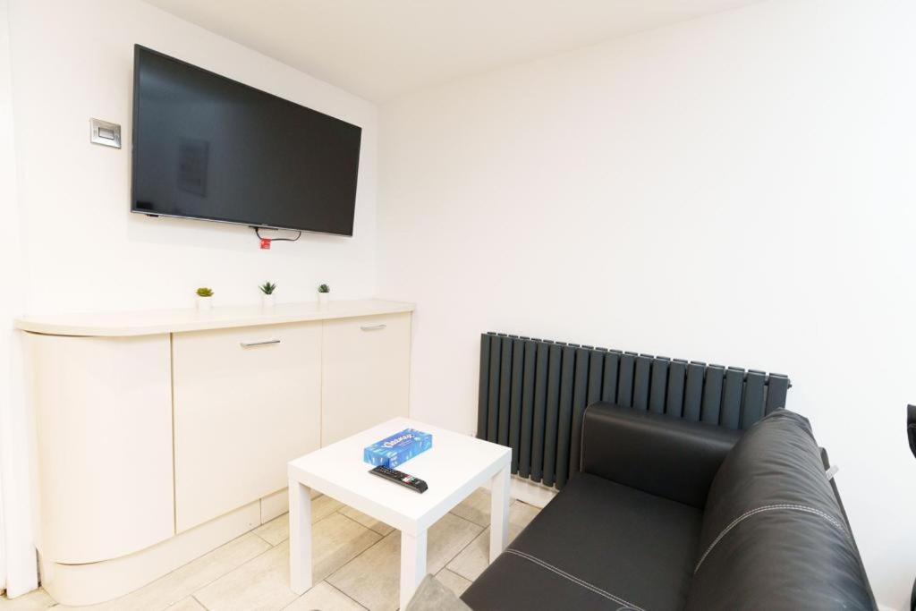
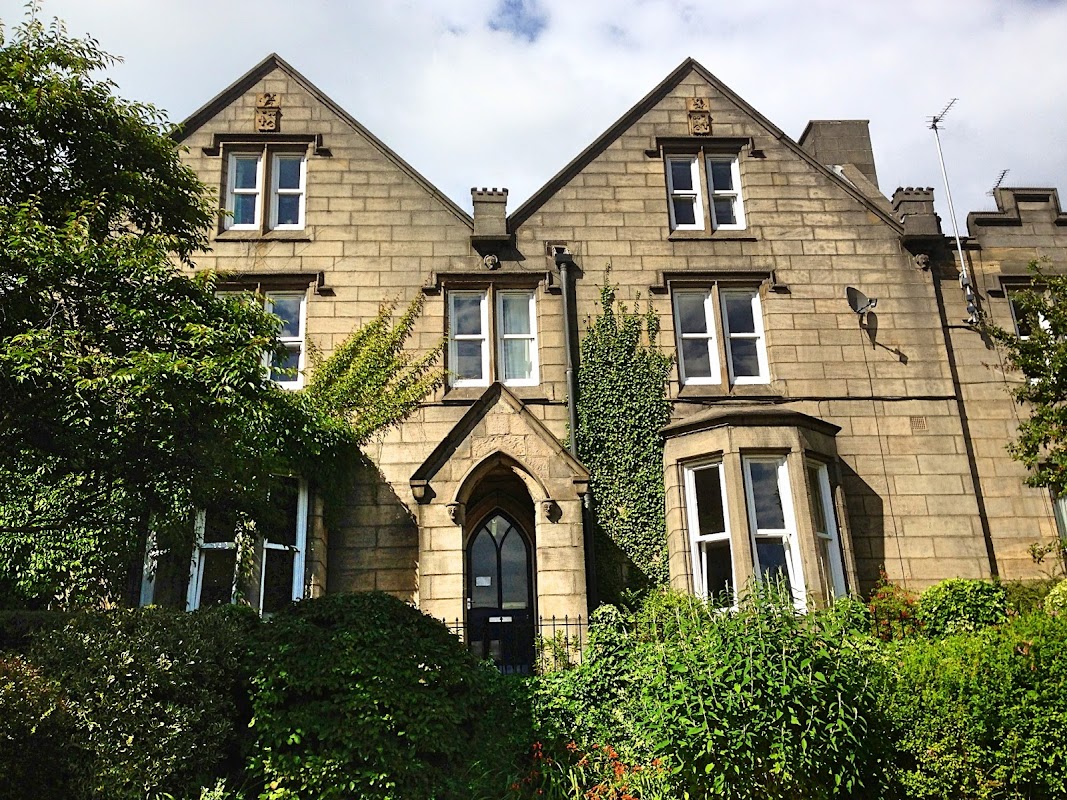
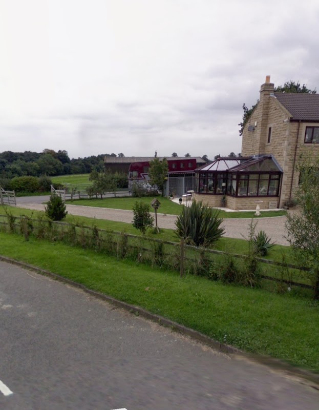
Ashley Lane Canal Visitor Moorings
Discover the peaceful Ashley Lane Canal Visitor Moorings, offering a scenic and quiet spot for boats with easy access to Shipley town.
Things to Do in Pudsey
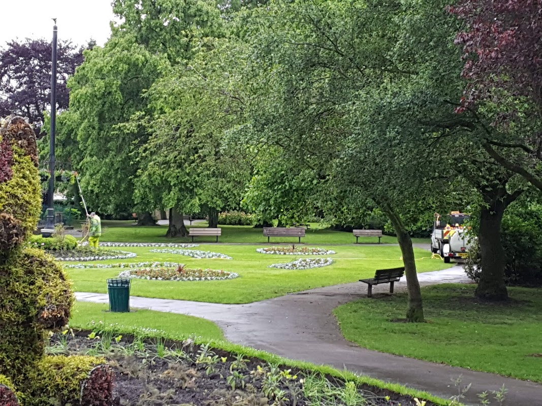
Pudsey Park
Discover Pudsey Park, a cherished local green space boasting fantastic playgrounds and delightful walks for everyone.
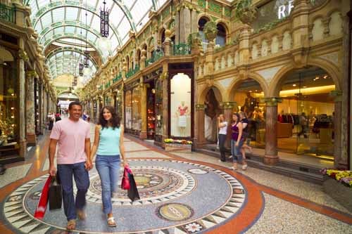
Leeds Tourist Information Centre
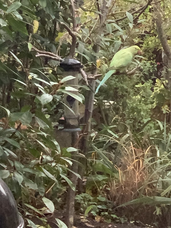
Parakeet Point
Discover Parakeet Point in Shipley, a charming local tourist attraction highly rated by visitors.
Browse by Type
Food & Drink
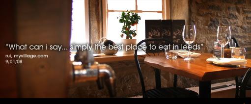
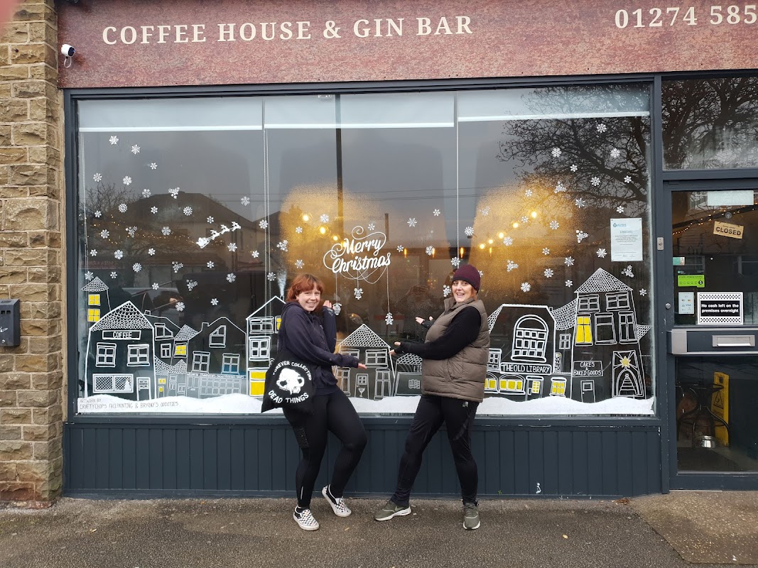
The Old Library
Discover The Old Library in Shipley, a highly-rated, welcoming spot for delicious food, coffee, and delightful afternoon teas.
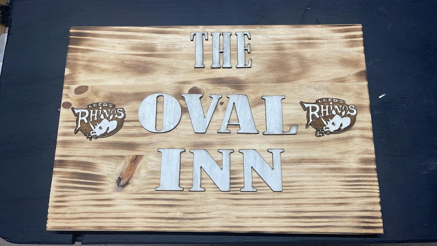
The Oval Inn
Discover The Oval Inn, a highly-rated bar in Bramley, Leeds, renowned for its fantastic atmosphere, entertainment, and welcoming hosts.

Interactive Map
View accommodation, attractions, restaurants, and events on the map
Geographic Facts
This town is geographically within the following regions:
- Population
- 25,393
- Postcode
- LS28
- Administrative area
- Leeds
- Dialing code
- 0113
- Timezone
- UTC±00:00
Data sourced from Wikidata and verified public records
Upcoming Events in Pudsey
View All Events in Pudsey →





Latest news from Pudsey
All Local News →
Leeds Greenpeace Urges MP Rachel Reeves to Oppose New Oil Drilling Plans
Local volunteers from Leeds Greenpeace are advocating against new oil drilling in the North Sea, promoting renewable energy as a sustainable solution for energy

Which Yorkshire fish & chip shops made the UK's Top 50?
Walkshire in Pudsey
More Walks in Pudsey →
Walk: Pudsey Circular
A pleasant walk around the countryside of Pudsey. The Route Start / Finish Point: On-road parking along Smalewell Road, Pudsey, LS28 8HU - Close to the Fox & Grapes pub. Distance: 5 Miles GPX Route Map walkshirepudseyDownload Walk Description From where you’ve parked on Smalewell Road, walk down towards the Fox and Grapes pub. Just before you get to it, turn left down the Public Bridleway and follow it as it snakes around to the left. Keep on the clearer track to the left and follow it through the wood. When you reach a track running left to right, turn right, and then left into the field, just before Tyersal Beck. Follow this clear track across the field, and through the trees, until eventually you are walking along the beck. Soon, you reach another track coming from the left, on the corner of Fulneck Golf Course. Carry on straight across into the trees and moving to the left away from the beck. Follow the edge of the trees, along the clear path on the ground until you reach a line of trees directly in front of you. Find the clearing in the trees, and enter to walk past a mill on the left and then out into open fields. Here, you follow the line of Pudsey Beck on the right for a while, following the path as it veers to the left around one cluster of trees, and then a little while later around another. Follow the path as it comes out onto Roker Lane beside an electricity substation. Turn right here, cross over the road and turn left through the gap in the wall just past the bus stop. Veer to the right and follow the boundary along the line of the trees and following Pudsey Beck on your right. Eventually, the track turns left, but you carry on into the next field to the next boundary. Turn left here just after the line of trees, and you can follow a clear path along the boundaries of several fields to reach Roker Lane again. Turn right, and follow Roker Lane until the sharp right bend when it becomes Southroyd Park. Turn left and walk down the road Fulneck until you reach a junction on the right. Here, carry on past the bins and down the gravel track straight ahead, not the road to the left for the Trekking Centre. At the gates at the end of the road, take the public footpath through the stile on the right and then turn right to follow the clear path across the field to the line of trees. Follow the line of trees to reach the road Greentop. Cross over and carry on through the snicket to Smalewell Road. Turn left and follow the road until you reach where you parked.

Walk: Pioneering women and haunted pubs in hidden Newlay
A short circuit near Kirstall Forge and Kirkstall Abbey. The Route Start Point: Kirkstall Forge Finish Point: Kirkstall Forge Distance: 1.86 miles GPX Route Map dnaire-pioneering-women-in-hidden-newlayDownload Walk Description what3words for start point: ///pulled.really.sock Start at Kirkstall Forge train station (LS5 3NF). The site was once Kirkstall Forge. Metal has been smelted on this site since 1200 by the monks from Kirkstall Abbey. One owner, Betty Beecroft, transformed a largely derelict forge in 1778 in just four years into a thriving business that laid the foundation for production at the site until 2002. Exit through the rear of the station along the path that leads into woodland. Turn left at the T junction and head towards the canal. At the canal turn right and follow the signpost marked Horsforth. The Abbey Inn is said to be haunted. Like many pubs in the area, it was used as a mortuary from the 1600's until the 1950's. From the Abbey Inn walk down the road over the railway bridge and down towards Newlay Bridge. Walk across the bridge and when you come to Rein Road turn right and walk ahead until you see the river on your right. Follow the track along the riverbank. When the track comes out on Leeds and Bradford Road turn right and head down the hill back to Kirkstall Forge.

Water and Industry in Kirkstall Valley Walk
This walk takes you between two fish passes. Before summer 2020 fish hoping to reach the gravel beds in shallower parts of the upland river to lay their eggs were stopped by the weirs at Kirkstall Abbey and Armley Mills. The Route Start Point: Kirkstall Abbey Finish Point: Kirkstall Abbey Distance: 2.1 miles GPX Route Map dnaire-water-and-industry-in-kirkstall-valleyDownload Walk Description what3words for start point: ///advice.silver.beans This walk takes you between two fish passes. Before summer 2020 fish hoping to reach the gravel beds in shallower parts of the upland river to lay their eggs were stopped by the weirs at Kirkstall Abbey and Armley Mills. Many fish need to move within the river to feed, breed and shelter. One of the fish that will have travelled the furthest is the Atlantic salmon. Salmon will have travelled from the Atlantic Ocean around Greenland to lay their eggs in the shallow upland streams they are born in. These fish pass help connect 60km of river habitat. Their construction will allow salmon to return after an absence of over 150 years. Food & Facilities The Kirkstall Bridge Inn serves food & there is a café at Kirkstall Abbey.

Walk: Armley Mills and Park
A circular walk around Armley in Leeds taking you along the towpath and through the park. The Route what3words for start point: ///teeth.deny.activism Start / Finish Point: Armley Mills Industrial Museum Car Park, 15 Evanston Ave, Burley, Leeds LS4 2DG Distance: 2 Miles GPX Route Map armleyparktowpathDownload Walk Description Starting this walk on Canal Road, walk away from the Leeds and Liverpool Canal up the hill and turn right at Armley Park Road. As you enter the 14-hectare park you will walk through the tree lined paths and past the band stand. Drop down the hill on Redcote Lane and follow the path until you reach the Leeds and Liverpool Canal. Cross the canal using Redcote Bridge and continue on the towpath where you will see the Aire Valley Marina. After passing the museum you will see some steps where you can leave the towpath to return to Canal Road.