
Discover Sancton
Sancton is a village located in the East Riding of Yorkshire, governed by East Riding of Yorkshire Council. With a population of 383, it falls under the YO43 postcode area. Known for its historical roots, Sancton offers visitors insights into its agricultural heritage and rural landscape.
Explore the map below to discover accommodation, attractions, restaurants, and live events across Sancton. Scroll down to browse featured listings and plan your perfect visit.
Property in Sancton
Explore 2 properties in Sancton — homes and commercial listings for sale and to rent. Start with detached houses.
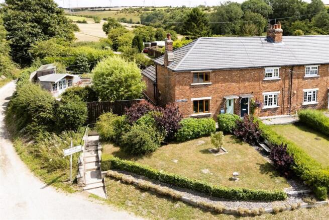

3 Bed Detached House - King Street, Sancton
£320,000
Browse by type
Stay in Sancton

Boxtree House Boutique B&B
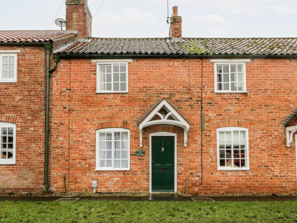
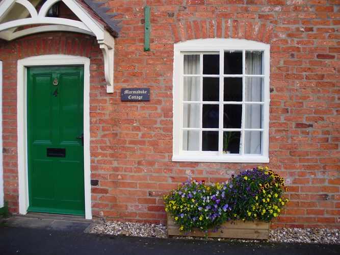
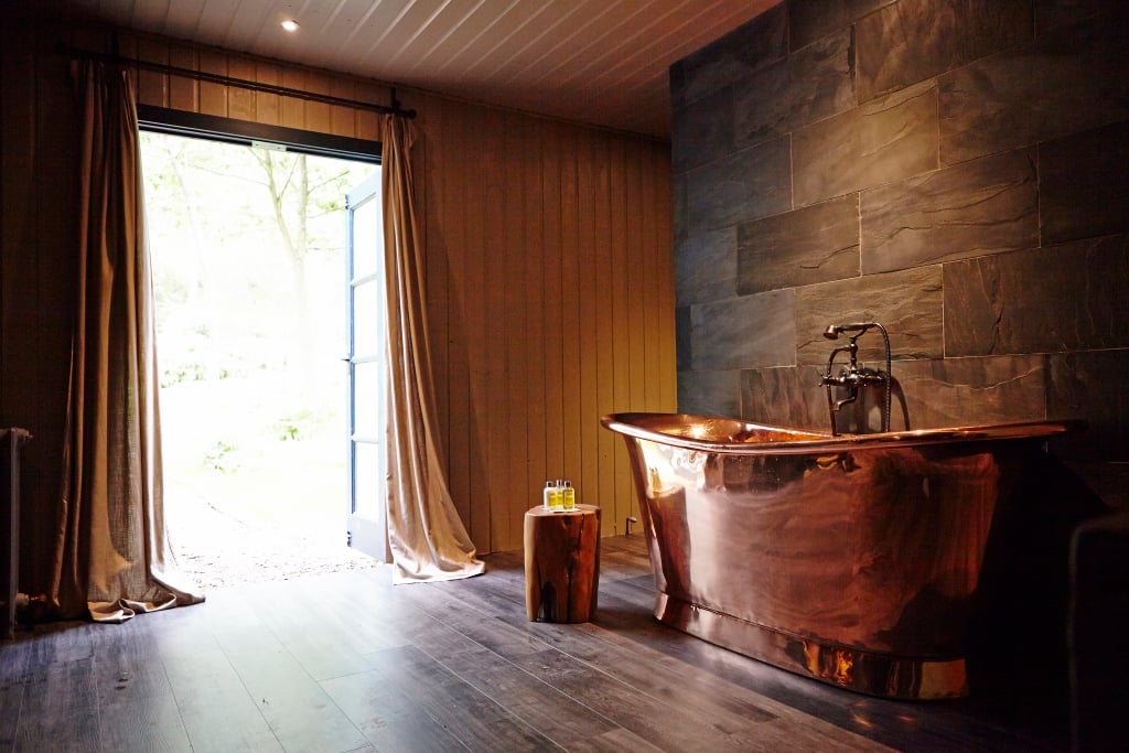
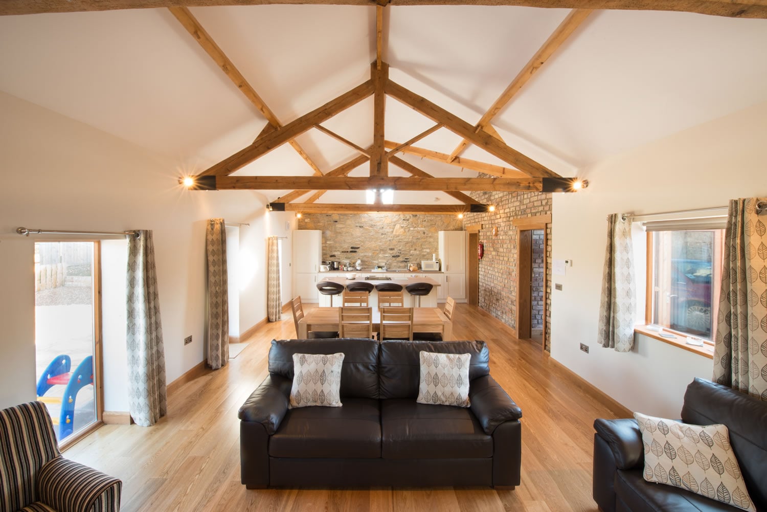

The Apartment, Yorstay
Discover The Apartment, Yorstay, a highly-rated, spacious self-catering apartment in Market Weighton, ideal for exploring Yorkshire.
Browse by Type
Things to Do in Sancton

White Rose Polo Club


Market Weighton Red Kites Basketball Club
Join the Market Weighton Red Kites Basketball Club for active sessions and develop your skills in a welcoming sports venue.
Food & Drink

The Star at Sancton

The Red Lion
Experience a warm welcome and a superb selection of real ales at The Red Lion, a traditional community pub in Market Weighton.

Tiger Inn
Located in the charming village of South Newbald, the Tiger Inn offers a delightful parking experience for visitors exploring the picturesque Yorkshire Wolds. While enjoying the traditional village pub atmosphere, guests can conveniently park nearby with standard pay-and-display options. This makes it an ideal stop for those looking to enjoy the scenic views and vibrant local culture.
Browse by Type

Interactive Map
View accommodation, attractions, restaurants, and events on the map
Geographic Facts
This village is geographically within the following regions:
- Population
- 383
- Postcode
- YO43
- Administrative area
- East Riding of Yorkshire
- Dialing code
- 01430
Data sourced from Wikidata and verified public records




Latest news from Sancton
All Local News →
Natural England Proposes New Area of Outstanding Natural Beauty in Yorkshire Wolds
Natural England has proposed a new Area of Outstanding Natural Beauty in the Yorkshire Wolds, aiming for formal recognition to conserve its stunning landscapes for future generations.

Goole & Howdenshire Business Excellence Awards – Winners: The Complete List of 2026 Honorees
The Goole & Howdenshire Business Excellence Awards 2026 was a huge celebration. See the full list of winners from the record-breaking ceremony in Yorkshire.
Walkshire in Sancton
More Walks in Sancton →
Walk: The Hudson Way
The Hudson Way is a picturesque walking trail located near Market Weighton in East Yorkshire, following a former railway line that once connected Market Weighton and Beverley. This tranquil path, stretching approximately 10 miles, offers a delightful escape into the countryside, showcasing the serene beauty of rural England. The Route what3words for start point: ///intention.thanks.lifelong Start Point: Market Weighton Market Place car park Finish Point: Beverley Distance: 10 miles GPX Route Map Hudson-WayDownload Walk Description Starting Point: Market Weighton The walk begins in the charming town of Market Weighton, known for its quaint streets and historic buildings. From here, the Hudson Way takes you westward, immediately immersing you in lush greenery and the peaceful ambiance of the countryside. As you venture along the Hudson Way, the route is flanked by an array of wildflowers, hedgerows, and mature trees. The flat, well-maintained path makes for an easy walk, suitable for all ages and fitness levels. Key Highlights: Houghton Woods: Shortly after departing Market Weighton, you'll pass through the serene Houghton Woods, where you can enjoy the shade of ancient trees. Historic Bridges: The trail crosses several old railway bridges, each with its own unique charm and history. End Point: Beverley The walk concludes near the historic market town of Beverley, renowned for its majestic Beverley Minster and vibrant town centre. Here, walkers can explore local shops, enjoy a meal in one of the many cafes or pubs, or simply relax and soak in the historic atmosphere. Practical Information Distance: Approximately 10 miles (16 kilometers) Difficulty: Easy, suitable for all ages Terrain: Mostly flat, with well-maintained paths Access: The trail is accessible year-round, with each season offering its own unique beauty. Tips for Walkers Footwear: Comfortable walking shoes are recommended, especially after rain when sections of the path can be muddy. Supplies: Bring water and snacks, as there are limited facilities along the trail. Navigation: The path is well-signposted, but carrying a map can be helpful. Whether you're a local resident or a visitor to East Yorkshire, the Hudson Way offers a delightful day out, combining the tranquillity of nature with a touch of local history. Enjoy the fresh air, the scenic views, and the simple pleasure of a walk in the beautiful Yorkshire countryside.

Walk: Market Weighton Canal
A lovely flat stroll along the canal to the Humber Estuary that will help you relax and take in the heritage of the Victorian era. The Route what3words for start point: ///used.factories.steepest Start Point: Market Weighton Finish Point: Humber Estuary Distance: 11 Miles GPX Route Map market-weighton-canalDownload Walk Description The walk starts in the village of Market Weighton and following the Weighton beck southwards will lead you to the canal after just over a mile. The towpath then winds its way through the village of Newton which has lots of local hostelries and cafes for you to rest your tired feet. Make sure you look out for the heritage building in the village before continuing the walk. This is pretty unique canal and is a real haven for fish and you will be able to see many swimming around if you keep your eyes peeled or at least look out for the local anglers. When you reach the estuary you'll have lovely views of Whitton island in the river.