
Discover Sharlston
Sharlston is a village located in West Yorkshire, governed by Wakefield Council. It has a population of approximately 3,000 residents. Historically, Sharlston was known for its coal mining industry, which significantly influenced its development. Visitors can explore the area's mining heritage and enjoy its rural landscapes.
Explore the map below to discover accommodation, attractions, restaurants, and live events across Sharlston. Scroll down to browse featured listings and plan your perfect visit.
Stay in Sharlston

Midland Hotel
The Midland Hotel is a welcoming local pub in Normanton, offering a relaxed atmosphere for a casual drink.

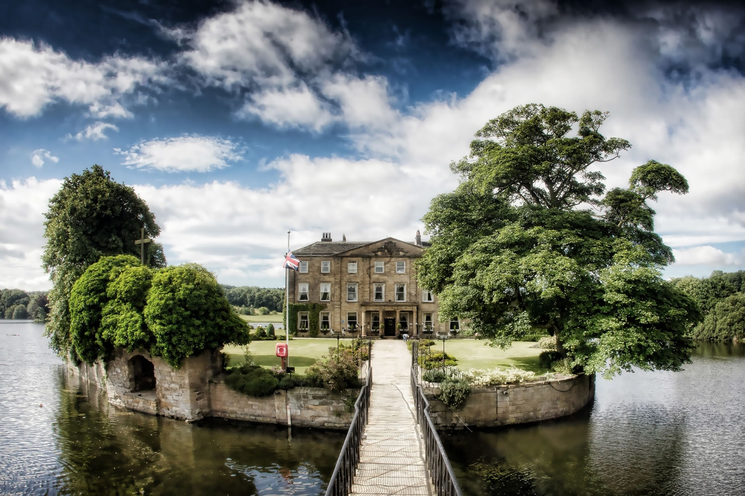

Hopetown Apartment-modern 2 bed with free parking


Browse by Type
Things to Do in Sharlston
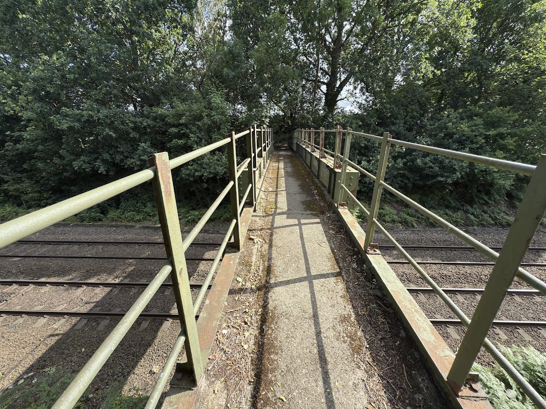
Oakenshaw Wood Railway Footbridge
Discover Oakenshaw Wood Railway Footbridge, a historic iron structure near Wakefield, ideal for peaceful walks and railway photography.


West Yorkshire Pilates, Yoga & Breathwork
Find your balance and strength with West Yorkshire Pilates, Yoga & Breathwork's engaging classes for all abilities in Normanton.
Food & Drink

Corner Kitchen Café
Discover Corner Kitchen Café in Normanton, a popular spot known for its consistent food and friendly service, perfect for a casual meal.

Sliced Cafe
Discover Sliced Cafe in Normanton, a highly-rated spot renowned for its delicious food, tempting treats, and exceptionally friendly service.
Browse by Type

Interactive Map
View accommodation, attractions, restaurants, and events on the map
Geographic Facts
This village is geographically within the following regions:
- Population
- 2,851
- Administrative area
- Wakefield
- Dialing code
- 01924
Data sourced from Wikidata and verified public records
Upcoming Events in Sharlston
View All Events in Sharlston →




Hilarity Bites Comedy Club feat. Eddy Brimson & Phil Chapman
at The Cluntergate Centre

Browse by Type
Local Guides & Stories
All Sharlston Guides →
Walkshire in Sharlston
More Walks in Sharlston →
Walk: Havercroft and Kinsley
A lovely easy walk through the fields between the villages of Havercroft and Kinsley, in-between Wakefield and Barnsley. Wintersett Reservoir in West Yorkshire England The Route what3words for start point: ///incur.flanked.lately Start Point: Bus stops on Cow Lane, near the corner of East Street, Havercroft, WF4 2HQ Finish Point: WF4 2HQ Distance: 5 Miles GPX Route Map walkshirehavercroftandkinsleyDownload Walk Description From the bus stops on B6428 Cow Lane, walk towards and turn down East Street, and then left onto the access road to walk behind the houses. Follow this road around and turn left at the end onto a track called Tup Lane. Continue along the track, through the trees and around the business park, turning left at the corner to reach the entrance of the park. Carry on, with the business park on your left along Westoff Lane to meet houses at the edge of the village of South Hiendley. At the corner with the farm lane on the left, turn right to follow Tun Lane. At the triangle junction with the main road, turn left and then left at the roundabout onto George Street. Just before the triangle School roadsign, turn left down the footpath snicket and follow this past the school. At the junction of paths, turn left and follow the path between the trees and across the field following the clear path on the ground. At the track, turn right, and then left at the first triangle junction, then right at the second triangle junction. Follow this almost straight boundary between two fields, and eventually, you reach the outskirts of Kinsley. The path goes behind houses on the left, then turns left, crossing Tumbridge Crescent, to go behind houses on the other side of the road. At the end of the house, turn right, follow the field, then turn left Halfway along this field, a clear path on the right takes a diagonal across a field. Carry straight on, then left diagonally across another field, and then another. Turn right, walking at the back of some houses before reaching the B6428. Turn left to get back to the bus stop.

Barnsley Canal Walk
Enjoy a waterside walk or cycle along the Barnsley Canal on this easy route near Royston. The Route what3words for start point: ///opposites.bunny.rope Start Point: Shaw Bridge, Shaw Lane, Carlton, Barnsley S71 3HJ Finish Point: (B6378) Walton, Shay Lane, WF2 6LA Distance: 5 miles GPX Route Map barnsley-canalDownload Walk Description Enjoy a waterside walk or cycle along the Barnsley Canal on this easy route near Royston. This section of the canal follows National Cycle Network Route 67 from Shaw Bridge, near Royston, to Walton. The route runs for just over 5 miles passing Rabbit Ings Country Park, Wintersett Reservoir and the woodland of Haw Park. It's a peaceful area with a nice surfaced path ideal for a safe cycle or easy walk.

Walk: Fitzwilliam Country Park Walk
Get a quick fix of the outdoors with this short but sweet lovely walk around the Fitzwilliam Country Park, right off the train! The Route Start / Finish Point: Fitzwilliam Railway Station, Railway Terrace, Fitzwilliam, Pontefract WF9 5DA Distance: 3 Miles GPX Route Map walkshirefitzwilliamcountryparkDownload Walk Description Exit the railway station on the car park side, and veer right along Wentworth Terrace, crossing over the entrance to the car park and enter Fitzwilliam Country Park on the footpath to the left of the bench. At the junction of paths, turn left, and then follow this main path through the trees and then around to the right. Just before the main path bends around to the right again, take the smaller path to the left and then turn right when it joins another path, to walk with some trees on your right hand side. Turn left and then veer left to follow a clear path on the ground which follows the line of the trees, then moves away to the left, and then back to the trees. Carry on after the line of trees ends, to reach Rose Lane. Turn right, and follow Rose Lane to just after a slight double bend, where, at the wide junction of tracks, turn right. This track follows the line of the trees for a while, and then moves to the right inside them. Follow the track to emerge near a pond, where the track turns right to eventually join up with the railway station car park’s access road, where you started.

Walk: Fitzwilliam Country Park
There are multiple trails and paths to follow in this lovely country park just on the outskirts of Wakefield. The Route what3words for start point: ///shows.impresses.gullible Start Point: Fitzwilliam Finish Point: Fitzwilliam Distance: 2 Miles GPX Route Map fitzwilliam-country-parkDownload Walk Description Ideally located next to the train station at Fitzwilliam this is ideal for those walkers travelling on public transport. The park itself has several routes that are ideal for meandering around at your own pace. Keep a look out for the wildlife as you venture round Water voles are often seen at the water's edge as well as Buzzards swooping down on unsuspecting prey. The park is also ideal for dog walking.