
Discover Sledmere
Sledmere is a village located in the East Riding of Yorkshire, governed by East Riding of Yorkshire Council. With a population of 377, it is known for the historic Sledmere House, a Georgian country house. The village's rural setting and agricultural landscapes offer insights into traditional English countryside life.
Explore the map below to discover accommodation, attractions, restaurants, and live events across Sledmere. Scroll down to browse featured listings and plan your perfect visit.
Property in Sledmere
Explore property in Sledmere — homes and commercial listings for sale and to rent. Start with detached houses.
Browse by type
Stay in Sledmere
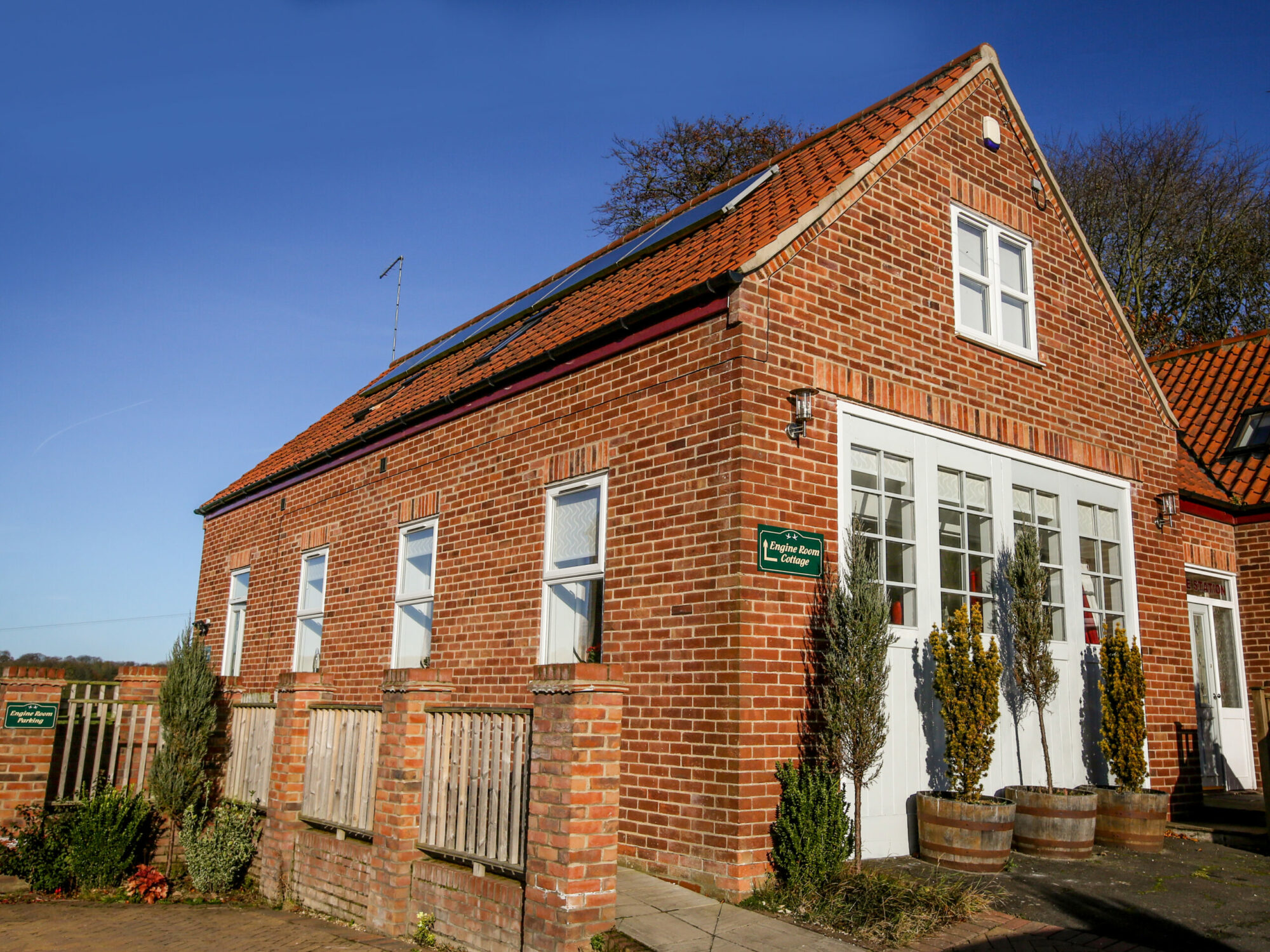
Engine Room Cottage
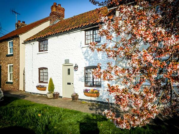
Clara's Cottage
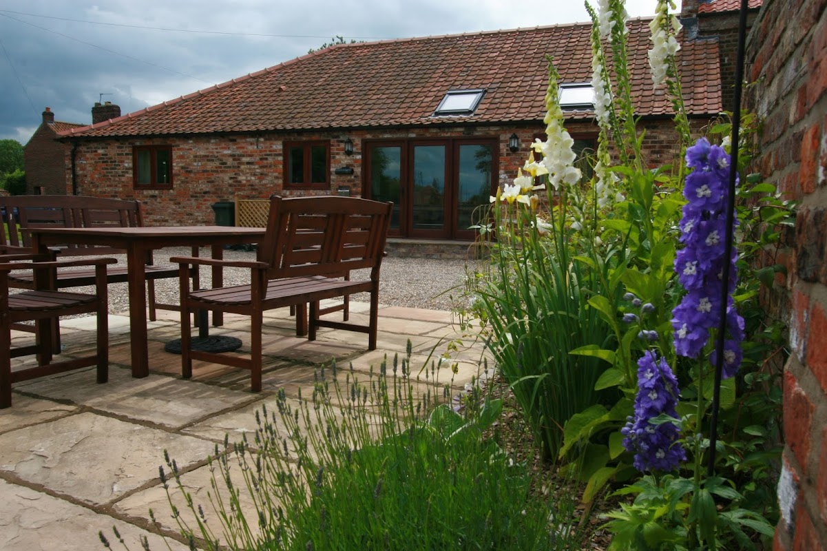
Forge Holiday Cottages - Book Direct for Best Rates
Forge Holiday Cottages in West Lutton offers a charming stay in a beautifully restored old forge. While the parking details are not explicitly mentioned, visitors can expect standard pay-and-display facilities typical of the area. Enjoy the tranquil village setting and easy access to local attractions.
Things to Do in Sledmere
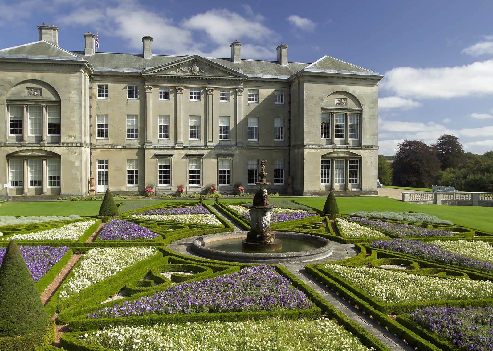
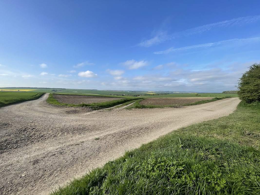
Toby's Bench
Toby's Bench in Kirby Grindalythe offers convenient parking for visitors exploring the charming village of Driffield. While specific payment details are not provided, it is likely a pay-and-display facility, making it easy for tourists to park and enjoy the local attractions. Located in a picturesque area, it's an ideal starting point for a leisurely day out.
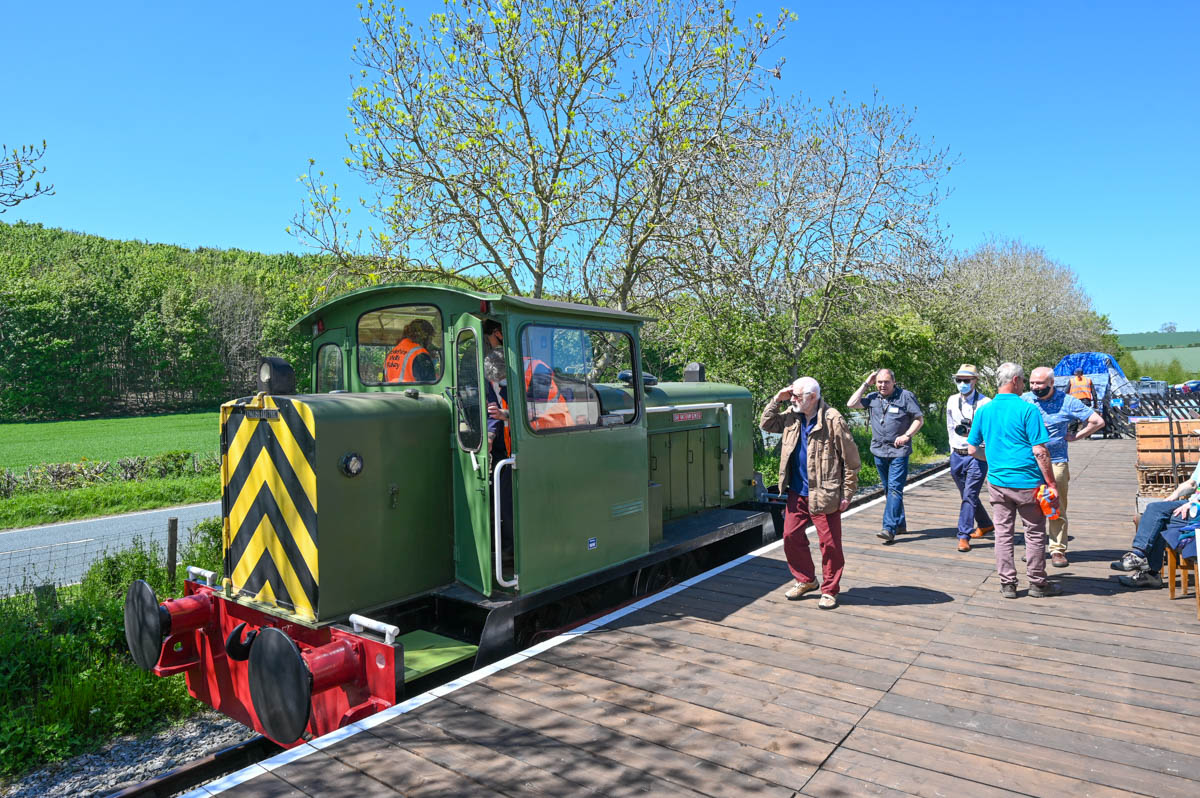
Yorkshire Wolds Railway
Located in the picturesque Yorkshire Wolds, the Yorkshire Wolds Railway offers a delightful experience for train enthusiasts and families alike. While parking details are not specified, visitors can expect standard pay-and-display parking facilities common in the area. Enjoy a ride on the heritage line and explore the charming museum and coffee shop on site.
Browse by Type
Food & Drink
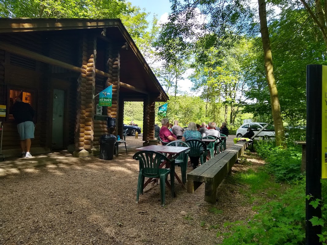
Fimber Cafe (Log Cabin)
Fimber Cafe (Log Cabin) offers a charming and serene spot for travelers on the B1248 near Driffield. With free parking available, it's an ideal place to rest and enjoy a peaceful break, complete with a cafe, clean 24-hour toilets, and a small play area for children. Perfect for a quick stop or an overnight stay, this location provides a welcoming atmosphere for both solo travelers and families.
Browse by Type

Interactive Map
View accommodation, attractions, restaurants, and events on the map
Geographic Facts
This village is geographically within the following regions:
- Population
- 377
- Administrative area
- East Riding of Yorkshire
- Dialing code
- 01377
Data sourced from Wikidata and verified public records
Upcoming Events in Sledmere
View All Events in Sledmere →No events found for Sledmere yet.
No events found for this period. Check back soon!
View all events in SledmereLatest news from Sledmere
All Local News →
Natural England Proposes New Area of Outstanding Natural Beauty in Yorkshire Wolds
Natural England has proposed a new Area of Outstanding Natural Beauty in the Yorkshire Wolds, aiming for formal recognition to conserve its stunning landscapes for future generations.

Goole & Howdenshire Business Excellence Awards – Winners: The Complete List of 2026 Honorees
The Goole & Howdenshire Business Excellence Awards 2026 was a huge celebration. See the full list of winners from the record-breaking ceremony in Yorkshire.

Walkshire in Sledmere
More Walks in Sledmere →
Walk: Cowlam and Cottam
A walk through history to journey to the site of not one, but two medieval villages, Cowlam and Cottam, near Driffield. The Route what3words for start point: ///trailing.airship.toads Start Point: Off-street parking along road from Cowlam, YO25 3AE Finish Point: YO25 3AE Distance: 6 Miles GPX Route Map cowlamcottamDownload Walk Description From where you’ve parked, walk away from the main road along the sideroad signed a public footpath towards St Mary’s Church. Keep left at the split and look left to take in the field which was the site of the medieval village of Cowlam. After the tree on the left, turn right and walk along the track, taking the right hand fork to walk to the right of the line of trees. Keep the trees on your left and follow the path to reach the end of the trees. Carry straight on, then turn right to walk around to the left along the single line of trees. Just as the trees turn right, turn left to follow a clear path on the ground which does a double bend to reach a broken hedgerow. Go through, but don’t follow the clearer marked path to the left, carry straight on to the edge of the woodland on the left. Make your way to the right around the hedgerow in front of you, and then head towards the corner of the woodland half right in the distance. Once there, you are standing in the medieval village of Cottam. Follow the clear path on the ground on the left, then turn right, then left, to walk along a hedgerow on the right. After crossing a track, carry on between the next two fields to reach Cottam Grange. Head through the yard and onto the lane, turning left onto a footpath after the end of the field on the left. Ignore the clear bend to the left at the end of the field, and carry straight on. Cross the stile, and head straight on to meet the line of trees, turning left to walk alongside them. This bends around to the left, then almost a right angle to the right, still following the intermittent line of trees. After what seems to be a distinct field, turn right, to pick up the way you came, keeping the trees to your right this time. Retrace your steps back to where you’ve parked.