
Discover South Cave
South Cave is a village located in the East Riding of Yorkshire, governed by the East Riding of Yorkshire Council. It has a population of about 5,000 residents and falls within the HU15 postal code area. Known for its historic architecture, South Cave offers insights into the region's rich heritage and scenic landscapes.
Explore the map below to discover accommodation, attractions, restaurants, and live events across South Cave. Scroll down to browse featured listings and plan your perfect visit.
Property in South Cave
Explore 37 properties in South Cave — homes and commercial listings for sale and to rent. Start with detached houses, bungalows, semi-detached houses, or terraced houses.
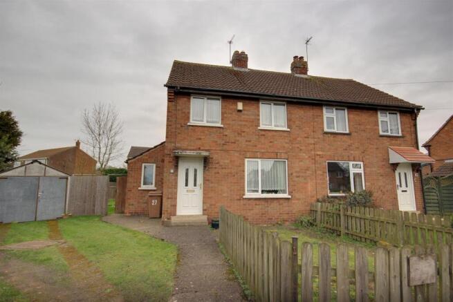
2 Bed Semi-Detached House - Nunnery Walk, South-cave
£155,000
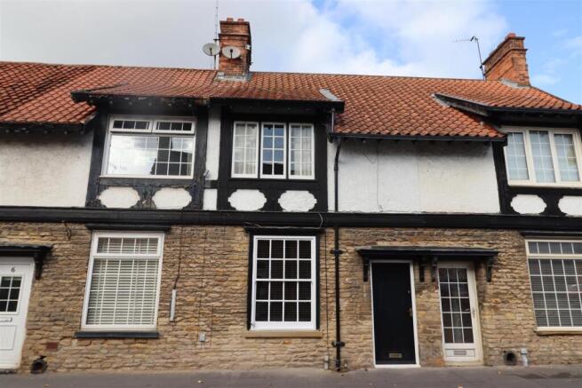
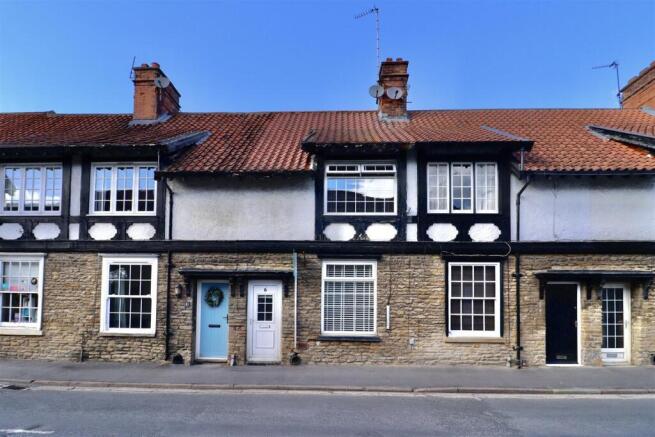
2 Bed Bungalow - St Katherines Road, South-cave
£175,000
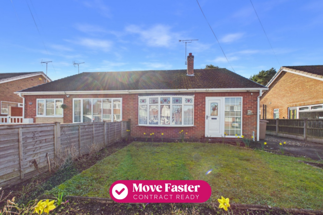
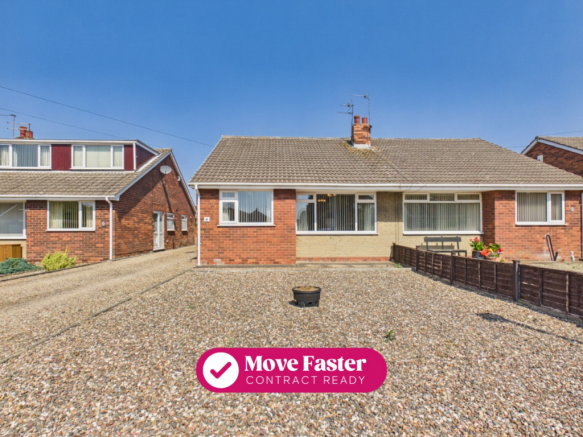
2 Bed Bungalow - Plantation Drive, South-cave
£180,000
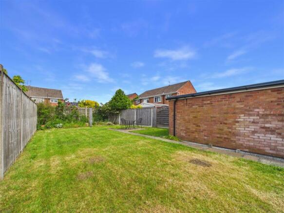
Stay in South CaveEUR
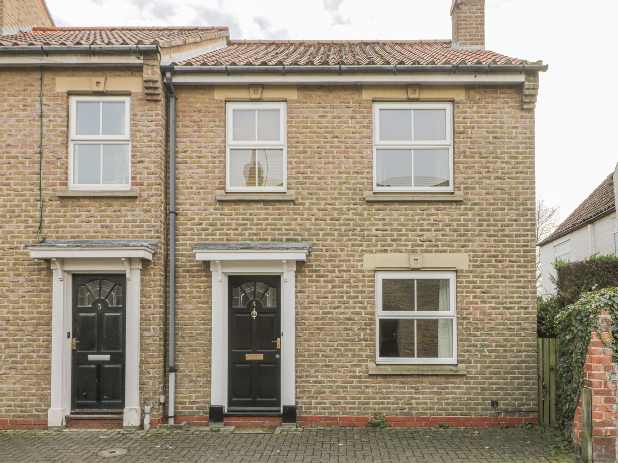
4 Castle Mews
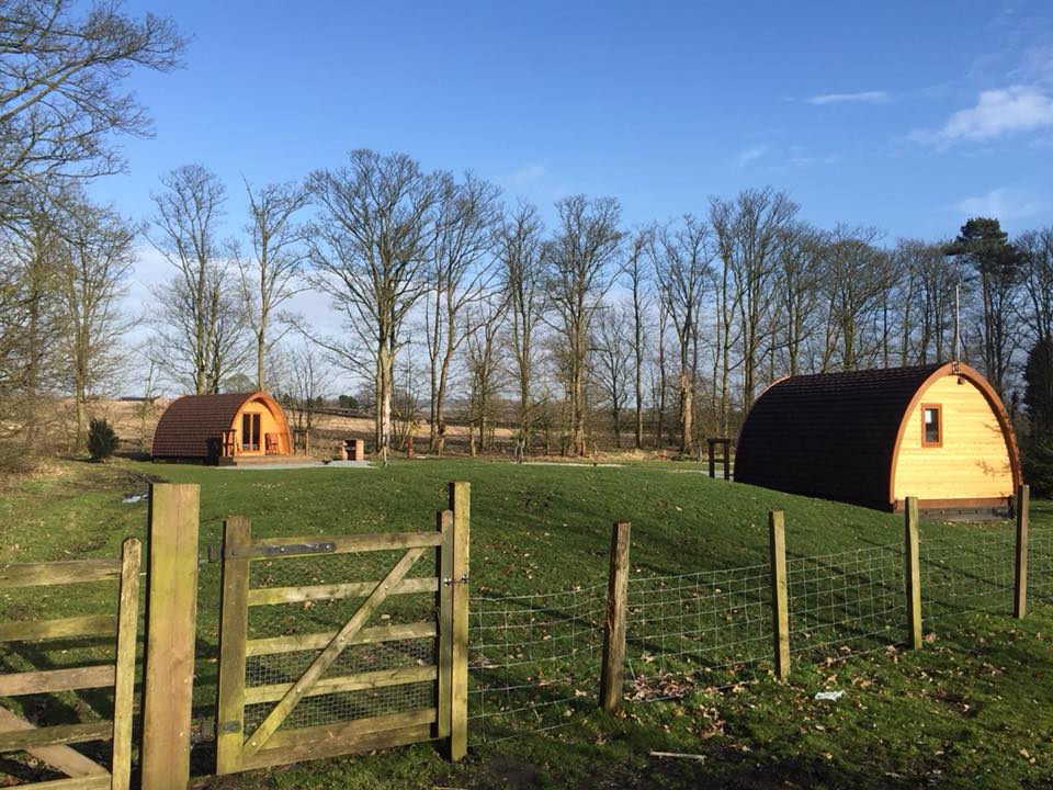
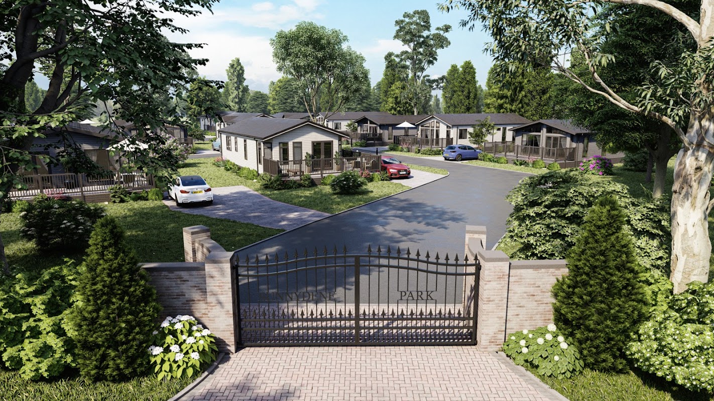
Sunnydene Country Park
Sunnydene Country Park in South Cave offers convenient parking options for visitors exploring the beautiful Yorkshire countryside. While the payment options are not specified, it is likely a pay-and-display facility, ensuring easy access to the park's tranquil surroundings. Ideal for those looking to unwind and enjoy a peaceful stay.
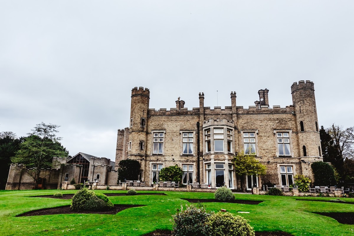
Cave Castle Hotel
Cave Castle Hotel, located in the charming village of South Cave, offers a delightful blend of Victorian elegance and modern amenities. Guests can enjoy a relaxing stay with access to a luxurious spa, a golf course, and exquisite dining options. While the parking details are not explicitly mentioned, visitors can expect standard pay-and-display parking typical of such venues.
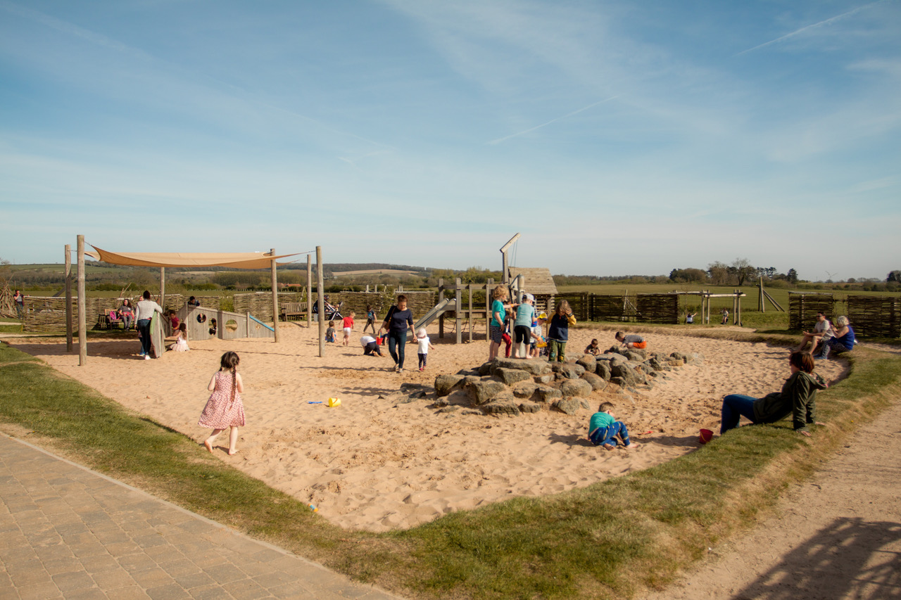
William's Den
Located in the scenic area of South Cave, William's Den offers ample parking for visitors exploring its family-friendly attractions. Enjoy a day filled with indoor and outdoor play areas, woodland walks, and delicious dining options, all while having convenient access to parking facilities.

Browse by Type
Things to Do in South Cave
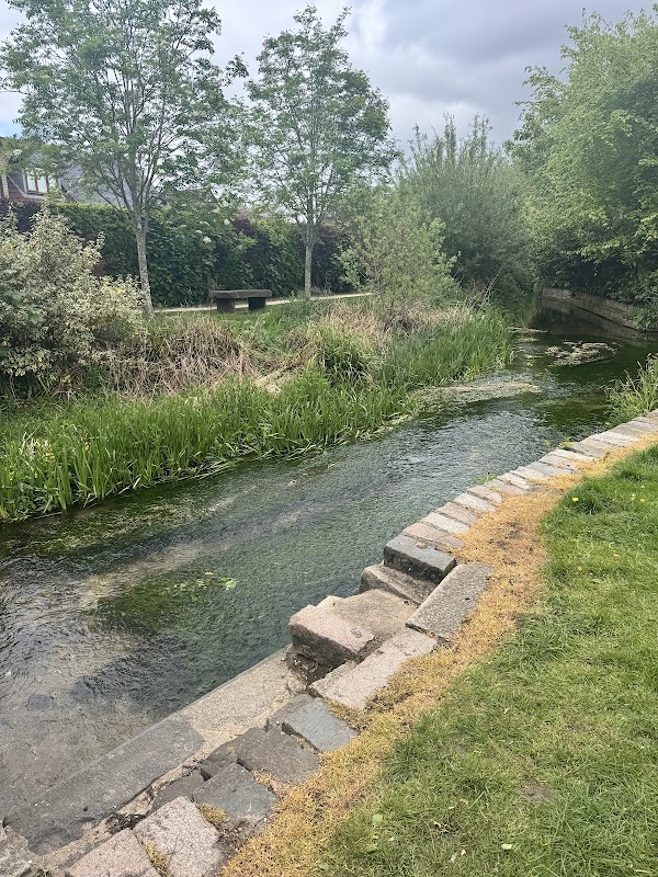
North Cave Hotham Footpath
Located in the scenic area of North Cave, York, the North Cave Hotham Footpath offers a delightful walking experience through fields and past a stately home. While primarily a hiking area, parking facilities are available, likely operating on a pay-and-display basis, making it convenient for visitors exploring the picturesque surroundings.
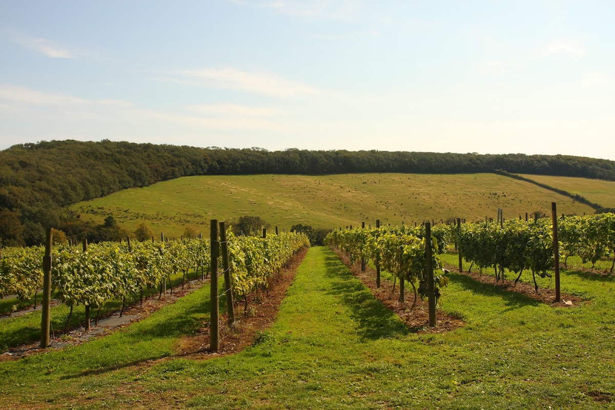
Little Wold plantation
Located in the scenic area of South Cave, Little Wold Plantation offers convenient parking for visitors looking to explore the natural beauty of Yorkshire. While the payment options are not specified, it's likely a pay-and-display facility, ensuring easy access for those eager to enjoy the nearby attractions.
Cave Castle Hotel
Cave Castle Hotel, located in the charming village of South Cave, offers a delightful blend of Victorian elegance and modern amenities. Guests can enjoy a relaxing stay with access to a luxurious spa, a golf course, and exquisite dining options. While the parking details are not explicitly mentioned, visitors can expect standard pay-and-display parking typical of such venues.
Food & Drink
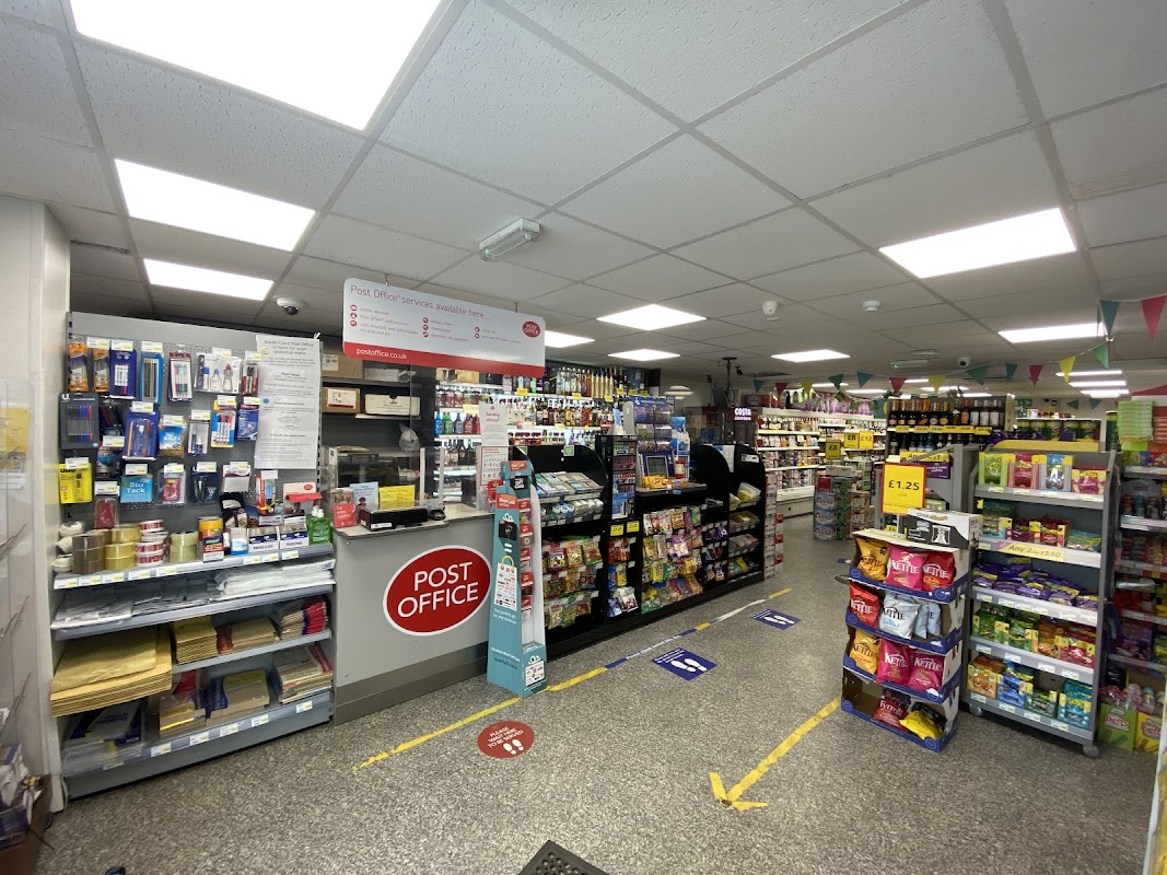
Costcutter South Cave
Located in the charming village of South Cave, the Costcutter South Cave offers convenient parking options for visitors exploring the area. While visiting, tourists can enjoy a well-stocked convenience store, a post office, and a delightful cafe, making it a perfect stop for both shopping and relaxation.
Cave Castle Hotel
Cave Castle Hotel, located in the charming village of South Cave, offers a delightful blend of Victorian elegance and modern amenities. Guests can enjoy a relaxing stay with access to a luxurious spa, a golf course, and exquisite dining options. While the parking details are not explicitly mentioned, visitors can expect standard pay-and-display parking typical of such venues.
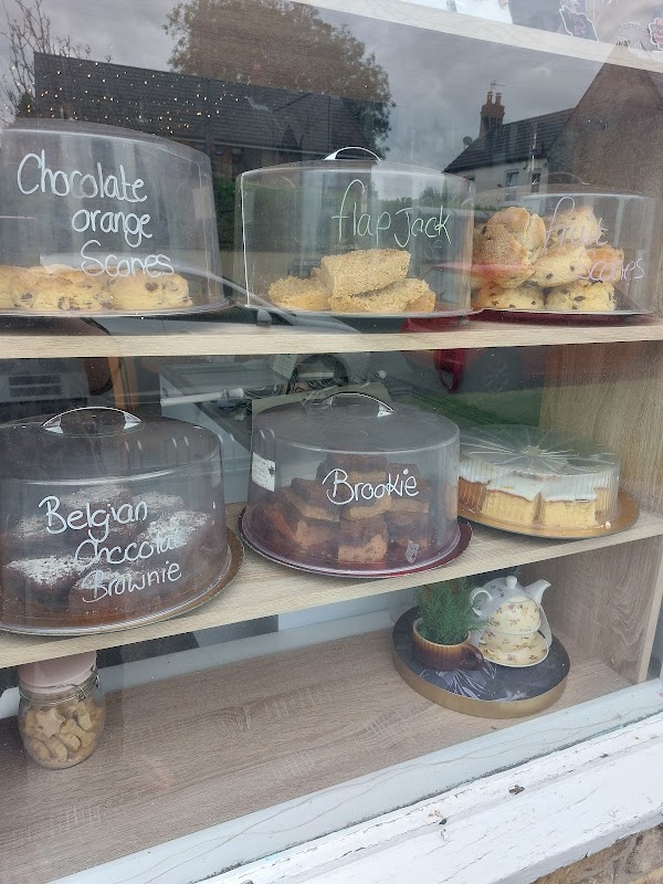
The Westend Cafe
The Westend Cafe in South Cave offers a cozy spot for visitors to enjoy delightful homemade treats and a welcoming atmosphere. While parking is limited to on-street options, the café's central location makes it easily accessible for a quick stop or a leisurely visit.

Interactive Map
View accommodation, attractions, restaurants, and events on the map
Geographic Facts
This village is geographically within the following regions:
- Population
- 4,823
- Postcode
- HU15
- Administrative area
- East Riding of Yorkshire
- Dialing code
- 01430
- Website
- southcavepc.gov.uk
Data sourced from Wikidata and verified public records


Latest news from South Cave
All Local News →
Natural England Proposes New Area of Outstanding Natural Beauty in Yorkshire Wolds
Natural England has proposed a new Area of Outstanding Natural Beauty in the Yorkshire Wolds, aiming for formal recognition to conserve its stunning landscapes for future generations.

Goole & Howdenshire Business Excellence Awards – Winners: The Complete List of 2026 Honorees
The Goole & Howdenshire Business Excellence Awards 2026 was a huge celebration. See the full list of winners from the record-breaking ceremony in Yorkshire.

Why Is East Yorkshire Man Paul Woodford Tackling the UK's Toughest Road Rally?
East Yorkshire's Paul Woodford is taking on the legendary Rali Cilwendeg. Find out why this man from Hull is tackling the UK's toughest road rally sport.
Walkshire in South Cave
More Walks in South Cave →
Walk: North Cave Wetlands
An easy walk around the many wet habitats of the North Cave Wetlands. North Cave Wetlands, Yorkshire The Route Start Point: Parking area, North Cave Wetlands, Dryham Lane, Brough HU15 2LY Finish Point: HU15 2LY Distance: 5 Miles GPX Route Map walkshirenorthcaveDownload Walk Description From the parking area on Dryham Lane, walk away from the junction with Cliffe Road, all the way past two footpaths branching off on the left to the point where the track turns to the left. Follow this around to the left, and past the wetlands on the left. At the corner, turn left to keep the wetlands on your left. Once reaching the hedgerow in front of you, turn right and then walk down the path keeping the hedgerow on the left. As the hedgerow is replaced by a cluster of trees, the path becomes a track around the buildings of Brook Farm. Follow the access track past Brook Farm and down to the B1230 Newport Road. Turn left and follow the B1230 until you reach a crossroads with Breeks Lane on the left. Cross over the B1230 here and walk down the no through road of Common Lane West. Follow this road, which becomes an unmade track, and then turns left to go alongside the A63 for a short while. The track is long and fairly straight as it goes to a crossroad of paths. Here, carry straight on, as the track becomes an access road, to eventually reach a corner of Mires Lane and Low Mill Lane. Turn left, and walk on Low Mill Lane up to the old railway bridge. Once underneath, turn right on the public footpath, and follow it diagonally to the left across the fields. Follow the clear path on the ground to eventually emerge through a sniket to Finkle Street. Turn left and go down Finkle Street to meet the road Westgate. Turn left, cross over Finkle Street, and turn right down Blanshards Lane. At the end of the lane, turn left and cross over the bridge to turn right immediately. Follow the track through the wood, then turn right sharply to walk between the houses, reaching the road Nordham. Turn left onto Nordham and follow this back to where you parked.

Walk: Broomfleet
Epic skies aplenty across the flat lands of Broomfleet alongside the Market Weighton Canal. The Route what3words for start point: ///lifestyle.stuffy.trumpet Start Point: Broomfleet railway station, Carr Lane. HU15 1RQ Finish Point: Broomfleet railway station, Carr Lane. HU15 1RQ Distance: 5 Miles GPX Route Map walkshirebroomfleetDownload Walk Description Start at Broomfleet station. With the station behind you, turn left to walk along Carr Lane. Although Carr Lane isn’t a busy road, take care and keep to the right hand side of the road to walk towards oncoming vehicles. As the road turns sharply to the right, turn left down onto the narrow road called Common Lane. Walk past Grange Farm and then Broomfleet House, whereafter the road becomes a track. Continue down this track until it reaches the Market Weighton Canal. Turn left here, and continue on the track alongside the canal. Eventually you meet a gate, go through and carry on along the track - which becomes a road called Landing Lane. Carry along all the way down this road, past a cream house and a few other houses, when the road turns left. Go straight ahead here, and walk to the right of the pylon, alongside the canal. Eventually, the track reaches the River Humber at Weighton Lock - with the wildfowl refuge of Whitton Island directly ahead. Turn left and follow the path between fields. This is now part of the Trans Pennine Trail (TPT). At the junction of paths, turn left to follow the TPT, ignoring the next path off on the right. When you reach Main Street in Broomfleet, turn right, again to follow the TPT. At the next road junction, turn left onto Carr Lane. Keep to the right of Carr Lane on the pavement, and follow it as it bends to the left then right to return to the station.