
Discover Spennithorne
Spennithorne is a village located in North Yorkshire, governed by North Yorkshire Council (formerly Richmondshire). It has a population of 223 residents. Known for its proximity to the Yorkshire Dales, Spennithorne offers insights into rural English life and is noted for its historical church, which dates back to the 12th century.
Explore the map below to discover accommodation, attractions, restaurants, and live events across Spennithorne. Scroll down to browse featured listings and plan your perfect visit.
Property in Spennithorne
Browse homes and commercial listings for sale and to rent in Spennithorne.
Stay in Spennithorne
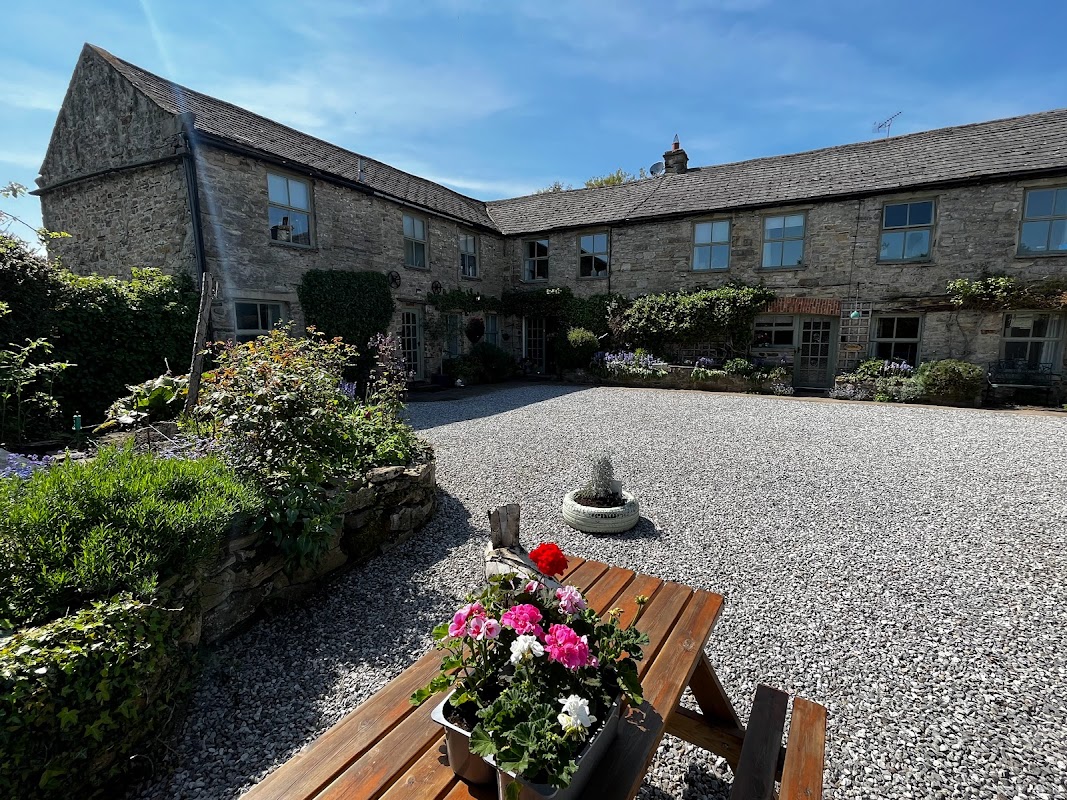
Foal Barn Self-Catering Cottages
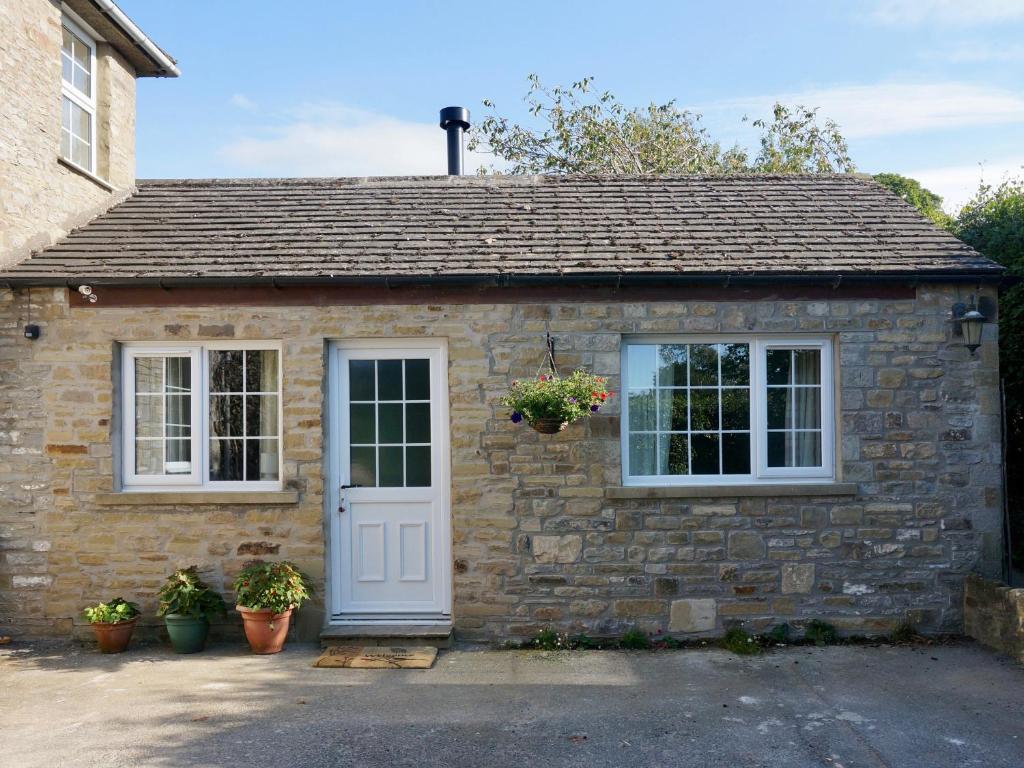
Foal Barn Self-Catering Cottages in the charming village of Spennithorne offers convenient parking options for guests exploring the scenic Leyburn area. While specific payment details are unknown, visitors can expect standard pay-and-display facilities typical of the region. Enjoy a comfortable stay with easy access to local attractions.
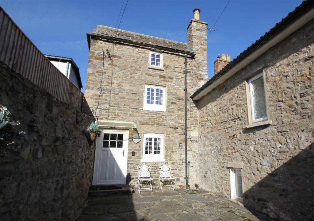
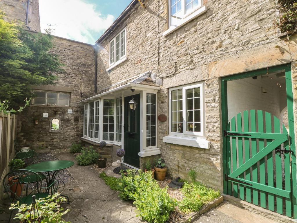
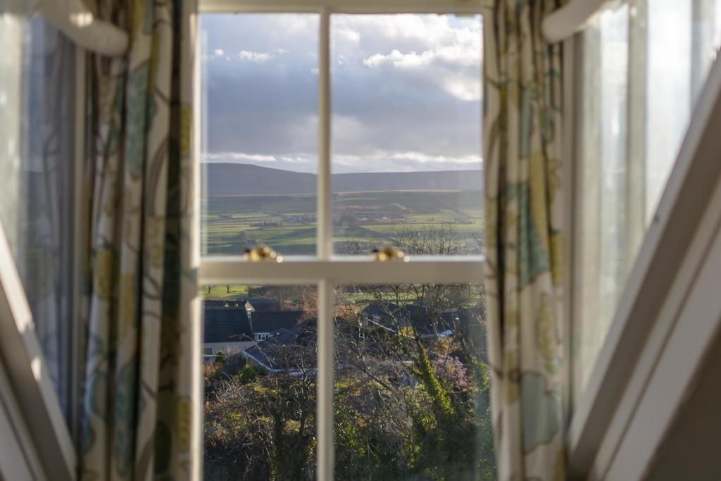
Puzzle Cottage, Quirky and Unique Cottage for 2
Things to Do in Spennithorne
Spennithorne & Harmby JFC
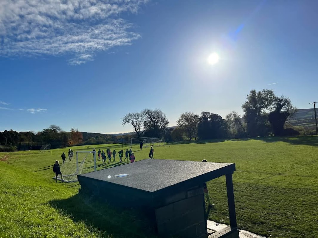
Located in the charming village of Spennithorne, the parking facility at Ferrand Park offers convenient access to local attractions, including scenic views over the valley and nearby walking paths. Ideal for visitors exploring the area, it provides a straightforward parking solution for those visiting Leyburn and its surroundings.
Harmby Waterfall
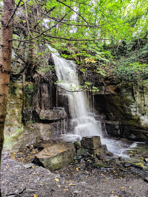
Harmby Waterfall is a charming natural attraction located in the quaint village of Harmby, near Leyburn. Visitors can enjoy the scenic beauty of the waterfall with the convenience of free on-street parking just a short walk away. This easily accessible spot is perfect for a quick visit or a peaceful break during your Yorkshire travels.
Food & Drink
The Kings Head
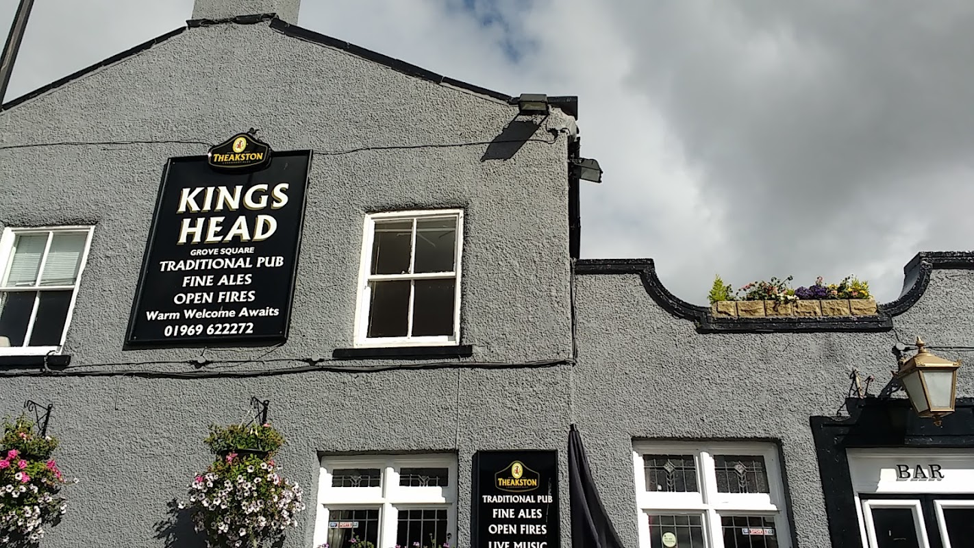
The Kings Head in Bellerby offers convenient pay-and-display parking, making it an accessible stop for those exploring the scenic Yorkshire Dales. Located in the heart of Leyburn, this traditional pub provides a cozy atmosphere to unwind after a day of adventure. Enjoy a warm welcome and well-kept ales in this charming establishment.
The Manor Farm Cafe
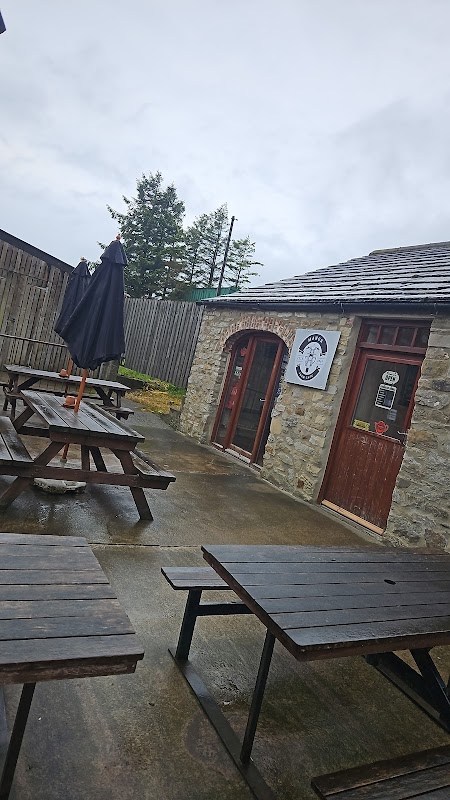
Located at Manor Farm in the charming village of Bellerby, The Manor Farm Cafe offers ample parking for visitors exploring the picturesque Yorkshire countryside. Enjoy a relaxing meal or a refreshing cup of tea after a scenic drive, with convenient pay-and-display parking available on-site.

Interactive Map
View accommodation, attractions, restaurants, and events on the map
Geographic Facts
This village is geographically within the following regions:
- Population
- 223
- Administrative area
- North Yorkshire Council (formerly Richmondshire)
Data sourced from Wikidata and verified public records


Latest news from Spennithorne
All Local News →
From Local Farm to National Shelves: How a North Yorkshire Rapeseed Oil Business Wins Listing with Garden Centre Chain
A North Yorkshire farm business, Charlie & Ivy's, has landed a major nationwide listing! Find their award-winning rapeseed oil bread dippers in Dobbies now.

How a Village Saved a 200-Year-Old Yorkshire Pub and Won Big
Walkshire in Spennithorne
More Walks in Spennithorne →
Walk: Middleham, Hullo Bridge, East Witton and Cover Banks
Middleham Castle, the gorge of Cover Banks, the legend of the Kelpie and some great Dales pubs. The Route what3words for start point: ///populate.operating.tanked Start / Finish Point: Middleham, Wensleydale Distance: 6 Miles GPX Route Map middleham-and-cover-banksDownload Walk Description Middleham is an elegant town of Georgian houses and older cottages set around two old market places, behind which lie the ruins of Middleham Castle, often described as the ‘Windsor of the North’. The castle dates back to 1190 and has played an important role in the history of England as this was once the stronghold of the powerful Neville family, Earls of Warwick, for over 200 years from where they ruled their vast Northern estates. The heyday of the castle was during the 15th Century, especially during the War of the Roses. Richard Plantaganet, later the Duke of Gloucester then Richard III, grew up at the castle where he later met his wife Lady Anne Neville, the daughter of the Earl of Warwick - the Kingmaker. Their son Edward, Prince of Wales was born at the castle. Richard became king in 1483 but was killed at the Battle of Bosworth in 1485. The castle soon fell into disrepair and remained Crown property until 1625 when passed into private ownership. Much of the stonework was plundered in the 17th Century and went to build local houses. Whatever time of day you visit Middleham, there always seems to be sleek racehorses either going up onto or returning from the gallops across Middleham Low Moor. Horse breeding and training can be traced back to the monks of Jervaulx Abbey; however, it was during the 18th Century that racehorse training began to flourish in this area as the wide open spaces of Middleham High and Low Moors provided the perfect gallops. This brought prosperity to the town and it was not long before a racecourse was laid out on High Moor, with races being held until 1873. Middleham remains a major centre for racehorse training. Between Middleham and Cover Bridge, the River Cover flows through a steep-sided wooded gorge known as Cover Banks. Indeed, the name of this river is derived from the ancient British word that means ‘a stream that flows through a deep ravine’. This river is also steeped in legend for it is the haunt of the 'Kelpie'. From the turbulent waters this horse-like creature is said to lure the unwary into riding on its back, only to disappear beneath the waters and so drowning its victim. The Kelpie is a supernatural water horse that dates back to Celtic folklore thousands of years ago.

Walk: The Jervaulx Abbey Ramble
This 7 mile circular walk is a lovely low level option for those who want to stay in the valleys and enjoy some historic buildings and bridges surrounded by serene parkland. Located just near East Witton, this is the perfect stopping point for parking, a cup of tea and a staging post for visits to the Brymor Ice Cream Parlour and The Blue Lion pub. The Route what3words for start point: ///decanter.quits.boots Start Point: Jervaulx Abbey Finish Point: Jervaulx Abbey Distance: 7 Miles GPX Route Map thejervaulxabbeyramble1Download Walk Description This walk starts and finishes at the ruins of the cistercian abbey of Jervaulx and hugs the banks of the River Ure for much of the route with no significant ascent throughout . The Abbey, the bridge at Kilgram, St Oswald's Church and Danby Hall are all highlights to say nothing of the characterful Cover Bridge Inn. The wildlife and certainly bird life on this walk can be plentiful. Jervaulx Abbey was founded in 1156 by the monks who made a success of the location by rearing sheep, making the first Wensleydale Cheese and breeding exquisite horses. In 1536 Henry VIII had the treasures from the abbey removed and the building all but destroyed. The abbot marched in protest and was executed soon after. The ruins are all that survived but the atmosphere of the place remains and is spiritual and tranquil. Kilgram Bridge is a wonderful site to see with elaborate arches stretching over the River Ure. It is very old, probably pre-Elizabethan and the local folklore say the devil built it in a day! Danby Hall is the home of the Le Scrope family to this day. This is the same family who built Bolton Castle and owned many properties in Upper Wensleydale. St Oswald's Church, sitting in a wooded area outside Thornton Steward, has evidence of pre-Norman times but was mostly built in 1210. The discovery of human remains in the grounds of the church, thought to be early Christians, led to their second burial with a ceremony and press coverage. The Ulshaw Bridge at the junction of the Ure and Cover below Spennithorne holds an ancient sundial dating from 1674. This used to be a crucial crossing point on the route between Kendal and York. The little church nearby was built by the Le Scrope family. The Cover Bridge pub has changed little over the years and remains popular with the locals and visitors alike. It is a long held tradition that the landlord safeguards the secret of the original recipe for the Wensleydale cheese. The building dates back to 1674 like the sundial on the neighbouring bridge. The pub was a coaching inn in the 16th century.

Walk: Wensleydale Challenge - Askrigg to Leyburn
Rise to the challenge: get dropped off at Askrigg and walk back to Leyburn. After a brief climb, the rest is fairly flat and Wensleydale at it's best. The Route what3words for start point: ///modes.officials.bangle Start Point: Askrigg Finish Point: Leyburn Distance: 13 Miles GPX Route Map wensleydalechallenge-askriggtoleyburn2Download Walk Description After an enjoyable bus journey "up dale" to Askrigg on the volunteer Little White Bus featured on Countryfile, the rest is up to you but rise to the challenge and you will follow the River Ure through Wensleydale into Leyburn Market Square with an enormous sense of achievement. It is a long but rewarding walk, however as an alternative, there is the option of jumping aboard the Wensleydale Railway in Redmire. This is just over halfway and can provide a ride back to Leyburn in comfort. The route climbs initially but gently through fields and woodland and then flattens out to contour along the hillside with spectacular views. Above Haw Bank on the right before crossing the wooden foot bridge, it is worth stepping carefully off the route to enjoy Disher Force which thunders down the steep sided gill. There is still evidence of the lead mining industry on the edge of Carperby Moor before seeing the imposing Bolton Castle ahead. The Castle has been owned by the same family since it was built in 1399 by Sir Richard Le Scrope, Lord Chancellor of England whilst Richard II was on the throne. In 1568, Mary, Queen of Scots was imprisoned there. The end for Bolton Castle came in the Civil War, when John Scrope, only a teenager at the time, held the castle for the royalist cause. Parliament besieged the castle for an entire year but in November 1645, Scrope was forced to surrender. Parliament intended to slight the castle to make it unusable in future, but the south-west tower and the west range survived almost completely intact and habitable. Below the castle walls is a medieval garden, a maze, a rose garden, herb garden, vineyard, birds of prey and a bowling green. The route takes you under Great Wegber and Wegber Scar above Carperby where James Herriot had his honeymoon. On the top of Wegber is a prominent building which is Greenhaw Hut, a bothy shelter. Following along the banks of the River Ure leads past the Ice Pond and through the Bolton Hall estate, over the attractive Lords Bridge before continuing the other side of the river into Wensley. It is easy to see how the area was affected by the floods in 2019. Wensley is a pretty village and of course, gives its name to the dale itself.