
Discover Stape
Stape is a village located in the YO18 postcode area of North Yorkshire. Governed by North Yorkshire Council, it is home to a population of 108. Known for its rural landscape, Stape offers visitors a glimpse into traditional village life within the scenic backdrop of the North Yorkshire Moors.
Explore the map below to discover accommodation, attractions, restaurants, and live events across Stape. Scroll down to browse featured listings and plan your perfect visit.
Property in Stape
Explore property in Stape — homes and commercial listings for sale and to rent. Start with detached houses.
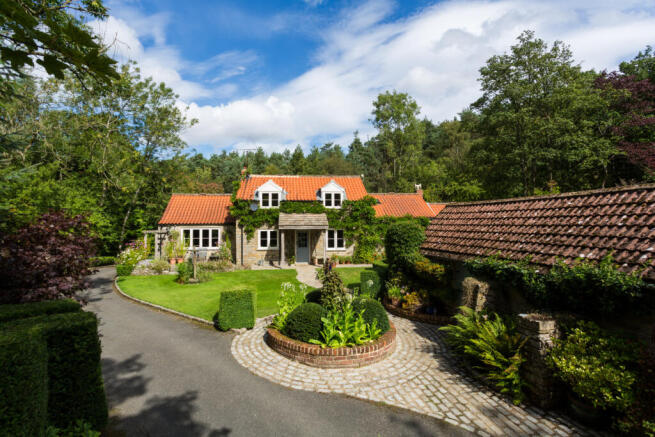
Browse by type
Stay in Stape
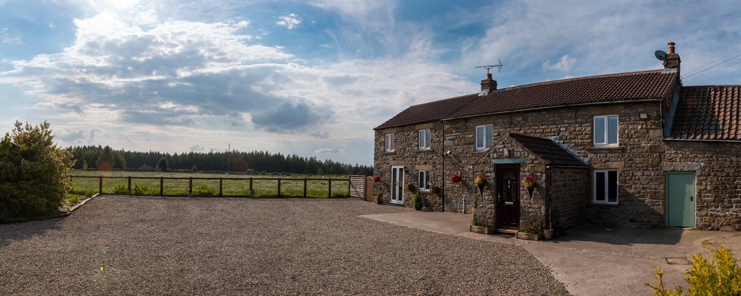
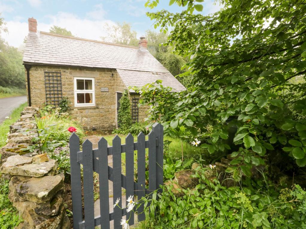
Moorside Country B&B
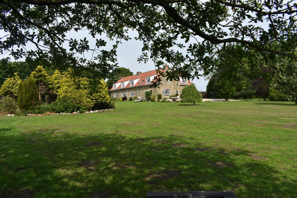
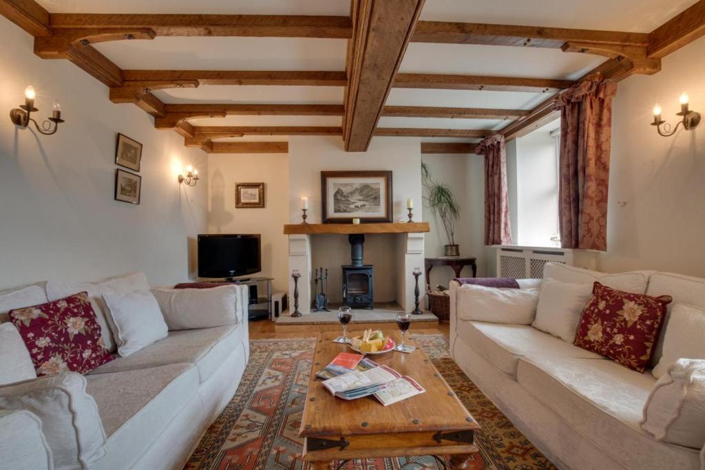
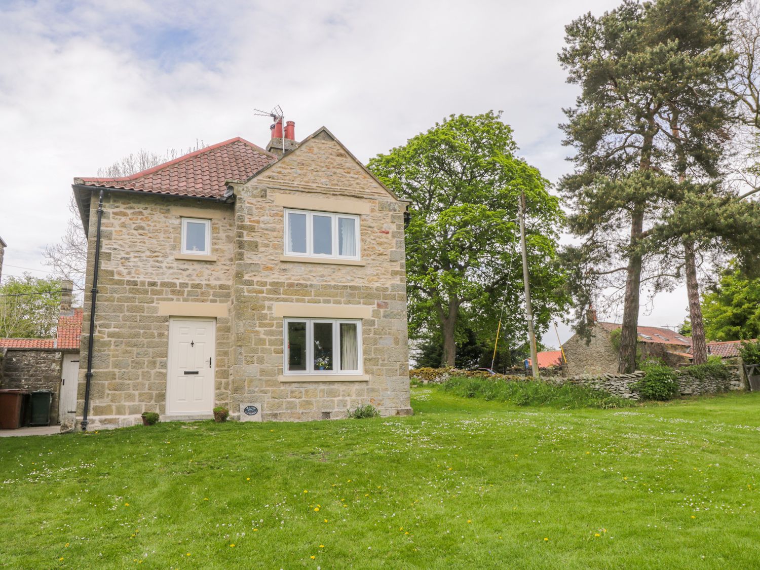
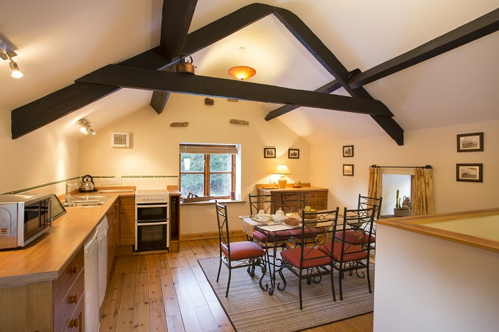
Manor Cottage
Things to Do in Stape
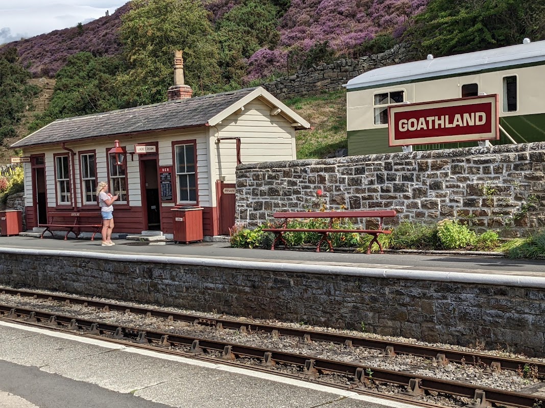
North Yorkshire Moors Railway - (Levisham Station)
Step back in time at Levisham Station, a charming stop on the iconic North Yorkshire Moors Railway, offering unique rail experiences.
Browse by Type
Food & Drink


The White Swan Inn
Enjoy a delightful escape at The White Swan Inn, offering tasty food, friendly service, and a cosy fireside glow.
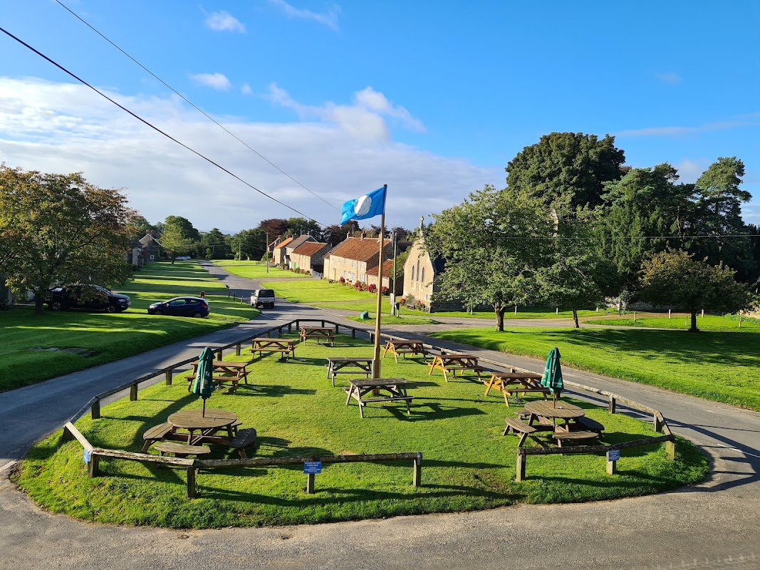
The Horseshoe Inn
Experience rustic charm and delicious food at The Horseshoe Inn, a delightful village pub with individually decorated rooms.

Interactive Map
View accommodation, attractions, restaurants, and events on the map
Geographic Facts
This village is geographically within the following regions:
- Population
- 108
- Postcode
- YO18
- Administrative area
- North Yorkshire Council (formerly Ryedale)
Data sourced from Wikidata and verified public records
Upcoming Events in Stape
View All Events in Stape →No events found for Stape yet.
No events found for this period. Check back soon!
View all events in StapeLatest news from Stape
All Local News →
From Local Farm to National Shelves: How a North Yorkshire Rapeseed Oil Business Wins Listing with Garden Centre Chain
A North Yorkshire farm business, Charlie & Ivy's, has landed a major nationwide listing! Find their award-winning rapeseed oil bread dippers in Dobbies now.
Walkshire in Stape
More Walks in Stape →
Walk: Steam Train Walk from Pickering
Climb abroad the steam train from Pickering to Levisham station and return on foot. The walk follows the line from Levisham village back the 8 miles to Pickering. The Route what3words for start point: ///rift.firelight.successor Start Point: Pickering Train Station Finish Point: Pickering Town Centre Distance: 8 Miles GPX Route Map steamtrainfrompickeringDownload Walk Description Start by taking the steam train to Levisham from Pickering. Always take the train (or bus) first on one way walks to avoid any stress and time constraints on your return. From Levisham station a steep climb takes you to the attractive village of Levisham. From here the walk is (nearly) all downhill as it follows the valley south through Levisham Woods to Farwath meeting Pickering Beck. From here forest tracks follow the river for 4 miles on the return to Pickering. The sound of steam trains passing is just one of the many pleasant experiences on this walk.

Walk: Cropton Forest
An exhilarating hike into Cropton Forest, in the North York Moors. The Route what3words for start point: ///drooling.napped.narrow Start Point: Off road parking along Rawcliff Road, Newton-on-Rawcliffe, YO18 8QA Finish Point: Rawcliff Road, Newton-on-Rawcliffe Distance: 6 Miles GPX Route Map walkshirecroptonforestDownload Walk Description From where you have parked, walk towards the north end of Newton-on-Rawcliffe. Just after the National Speed Limit signs, take the track leaving the road to the right, and then the track immediately to the right. After you’ve walked past a field on the left, take the footpath on the left, to walk between two distinct woods. Once through the line of trees, turn left and follow the clear path on the ground, through some trees and into the forest. Cross Green Raygate Spring and follow the path as it becomes a track and meets up with Newtondale Forest Drive. Turn left, and follow the Forest Drive. Walk past a building on the right, then the road turns right. After the next building on the left, turn left. Just after this road has turned to the right, find the footpath on the right, and head through the wood and out into a clearing. Walk to the right of the houses, and join the track - turning right to follow it into the forest again. Once in the forest, turn right at the next junction of tracks, climbing steadily as you go. The track turns to the left, but the walk continues on the footpath straight ahead. Keep on this long straight path until you reach another track. Turn right here, crossing over Scarfhill Beck straight away. Ignore the track immediately to the right, and turn left, to have open fields on both sides for a short while. At Heads Road, turn right and walk along the road, taking care, following it as it turns left then right again. Take the footpath on your right, just opposite a track on the left. This heads through the forest and emerges into a clearing. Follow the line on the ground to enter the forest again, crossing Sole Beck. The path hairpins to the right and then meets up with Newtondale Forest Drive, which itself hairpins around Raper’s Farm. Continue on the Forest Drive, past Oak Tree Cottage, and turn left to follow the footpath sign into the trees. Cross the track, go between two building and follow the path into the forest, eventually meeting up with Newtondale Forest Drive again. Turn left, and continue along the Forest Drive, past the point where you turned left earlier. Continue, and after passing the cottage on the left, look for the track on the right where you emerged from the forest towards the start of the walk. Take this track, and retrace your steps back to Newton-on-Rawcliffe and to where you parked. Make a stay of it: https://www.yorkshire.com/accommodation/host-stay-beck-house-cottages/

Walk: Cawthorn Roman Camps
Cawthorn Roman Camps is a 1.4 kilometer loop trail located near Pickering, North Yorkshire, England that offers the chance to see wildlife and is good for all skill levels. The trail is primarily used for hiking, walking, and bird watching. The Route what3words for start point: ///melts.unhappily.rich Start / Finish Point: Cawthorn Roman Camps, Cawthorn, Pickering YO18 8QQ Distance: 1 Miles GPX Route Map cawthornromancamps-1Download Walk Description A circular easy-access walk around Cawthorn Roman Camps in North Yorkshire, discovering the earthwork remains of Roman fortifications and spectacular views across the North York Moors. The path around the camps is mainly a hard, compacted surface and is fairly level. There is a short, undulating section on grass and wet weather may affect this section's accessibility. There are no stiles, steps or kissing gates on route, but you will need to negotiate two single gates. In dry weather the route is suitable for pushchairs and wheelchairs. The site is exposed and quite often subjected to chilly winds so wrap up warm. Entrance to the Roman Camps is free and dogs are welcome. Allow 45 minutes.

Walk: Pickering and Cawthorn Camps
Pickering and Cawthorn Camps is a 15.8 kilometer out and back trail located near Pickering, North Yorkshire, England and is rated as moderate. The trail is primarily used for hiking, walking, and running. The Route what3words for start point: ///melts.unhappily.rich Start / Finish Point: The Ropery, Pickering YO18 8DY Distance: 10 Miles GPX Route Map cawthornromancamps-1-1Download Walk Description A walk from the market town of Pickering in Ryedale. The route heads north through the simple landscape of woodland belts, quiet lanes, arable fields and pastures to visit Cawthorn Roman Camps, with its earth remains of Roman fortifications and spectacular views across the moors. The walk follows gentle but long gradients throughout, indeed it is generally one long steady climb on the way to the camps and then one steady descent on the way back. Some of the paths can get very muddy at times so good boots are a must. You will need to negotiate two stiles in each direction (one of which has a tight fence surround so dogs may need a lift over) plus a few single gates. The vast majority of the fields are arable, but you will be crossing two sheep pastures so take particular care with dogs. Entrance to the Roman Camps is free and dogs are welcome. Allow 5 hours. There are public toilets in The Ropery car park (at the start of the walk). If you are looking for refreshments, you could stock up on supplies in Pickering and then enjoy a picnic on one of the benches in the Roman Camps and there are plenty of pubs and cafes centred around the Market Place in Pickering at the end of the walk. OS Map: Explorer OL27 North York Moors Eastern Area. This walk follows public footpaths and bridleways which cross private and public land. Please respect people's privacy, keep dogs under control and remember the Countryside Code.