
Discover Thirn
Thirn is a village located in North Yorkshire. Governed by North Yorkshire Council, it has a population of 146 residents. The village falls within the HG4 postal region. Thirn's rural setting offers a glimpse into traditional village life, characterized by its agricultural landscape and local community activities.
Explore the map below to discover accommodation, attractions, restaurants, and live events across Thirn. Scroll down to browse featured listings and plan your perfect visit.
Property in Thirn
Explore 2 properties in Thirn — homes and commercial listings for sale and to rent. Start with detached houses.
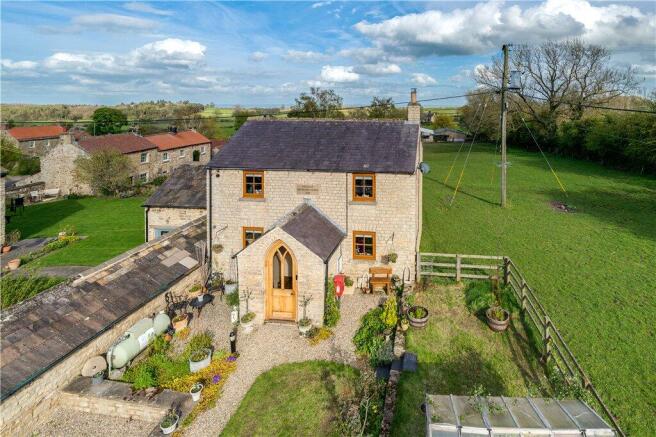
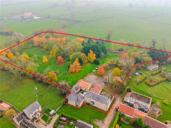
Browse by type
Stay in Thirn
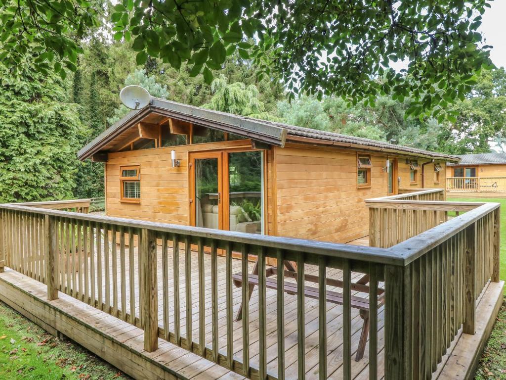
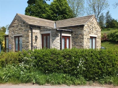
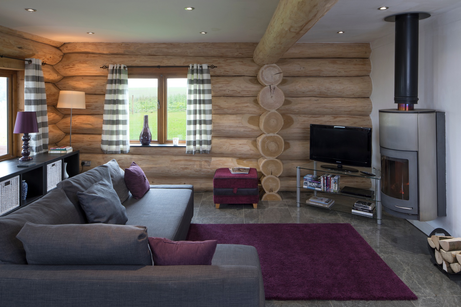
Swallow Lodge
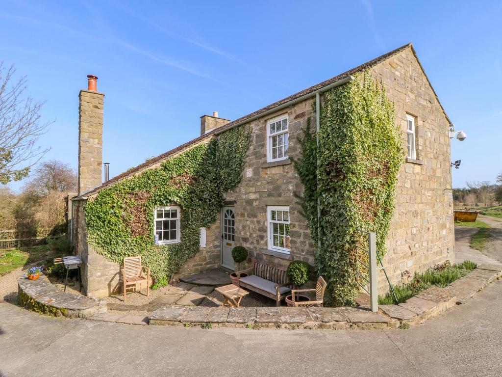
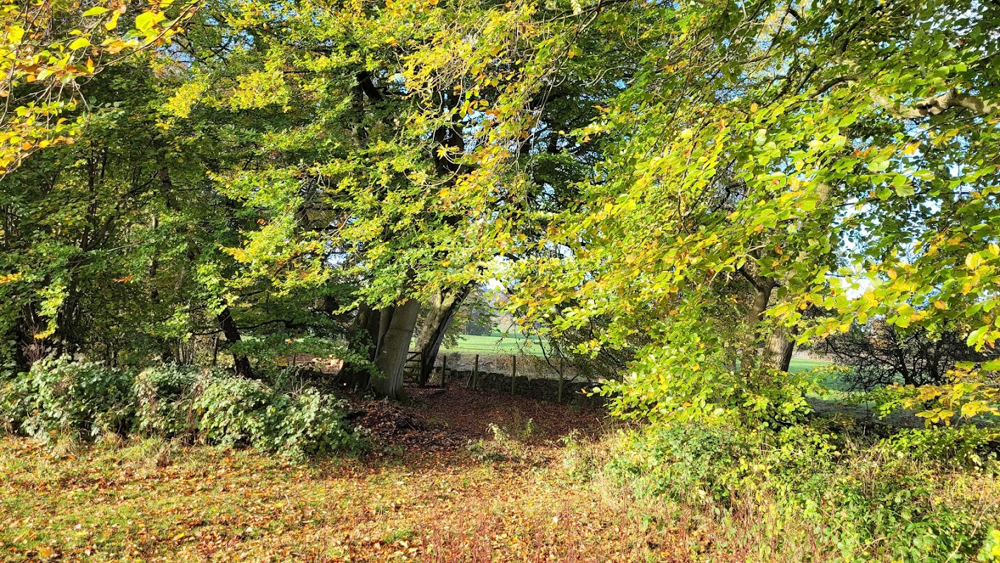
Jervaulx Caravan Park
Jervaulx Caravan Park is a charming site nestled in the picturesque setting of Ellingstring, near the historic Jervaulx Abbey. Ideal for caravan and motorhome enthusiasts, this park offers a serene escape with easy access to local attractions and a delightful tea room nearby. Enjoy the tranquility of the Yorkshire Dales while being conveniently located for exploring the surrounding area.
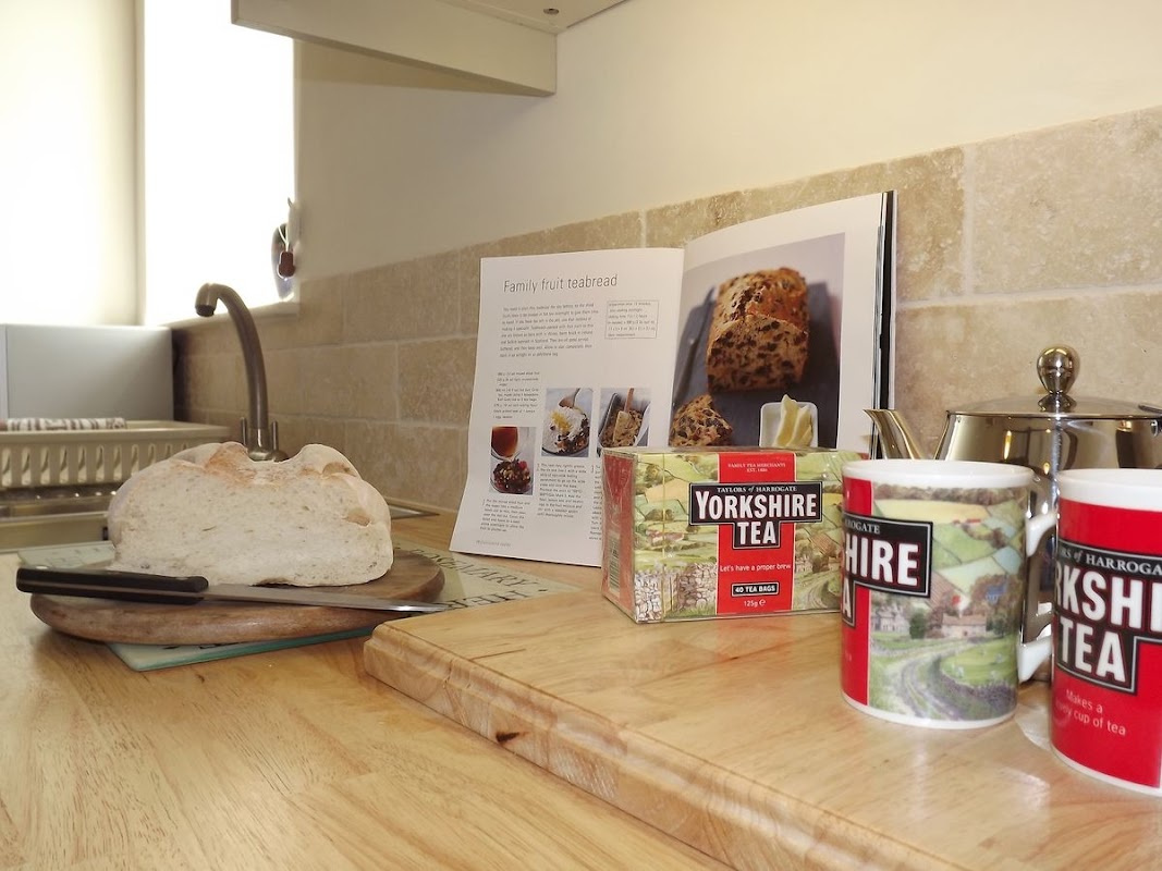
The Smithy
The Smithy in Finghall offers convenient parking options for visitors exploring the charming village of Leyburn in North Yorkshire. While specific payment details are unknown, it is likely a pay-and-display facility, making it easy for tourists to enjoy their stay without parking hassles. Enjoy the peaceful surroundings and friendly atmosphere that make this location a perfect getaway.
Browse by Type
Things to Do in Thirn
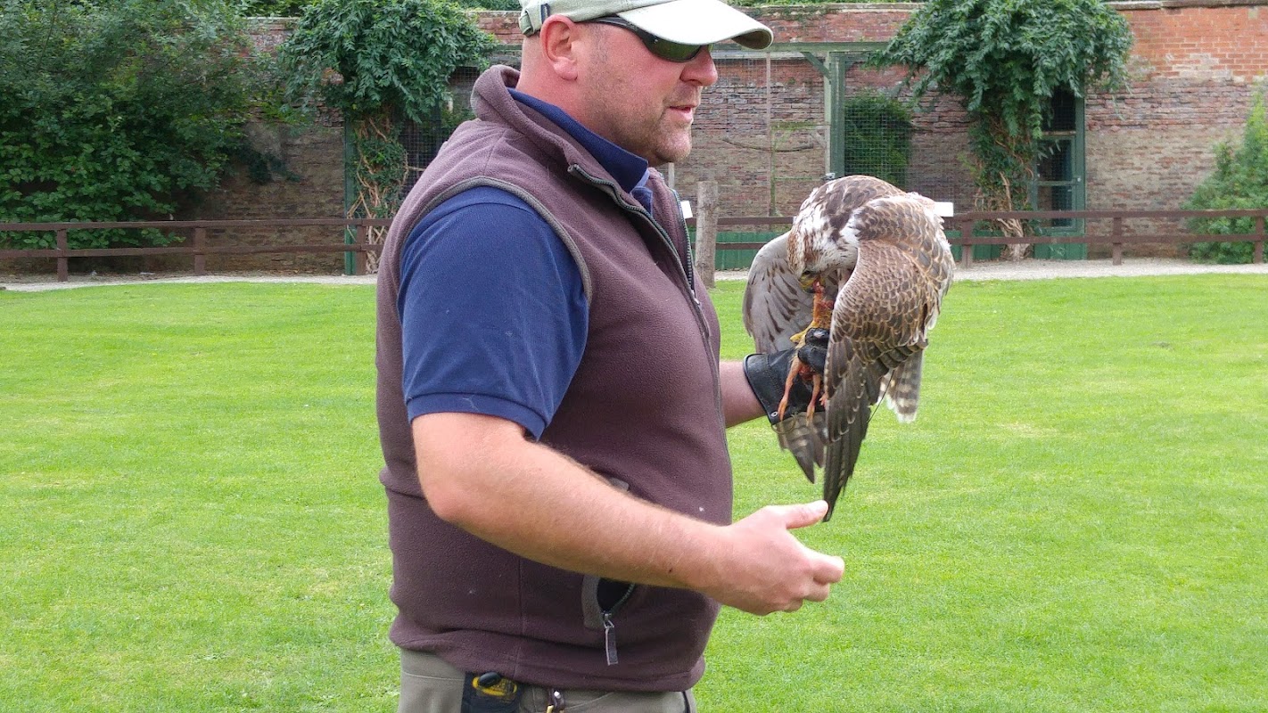
Thorpe Perrow Squash Club
Enjoy a game of squash at Thorpe Perrow Squash Club, located within the picturesque Thorpe Perrow Estate.
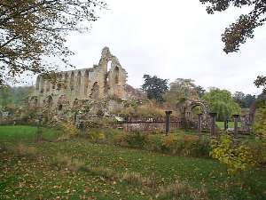
Jervaulx Caravan Park
Jervaulx Caravan Park is a charming site nestled in the picturesque setting of Ellingstring, near the historic Jervaulx Abbey. Ideal for caravan and motorhome enthusiasts, this park offers a serene escape with easy access to local attractions and a delightful tea room nearby. Enjoy the tranquility of the Yorkshire Dales while being conveniently located for exploring the surrounding area.
Food & Drink
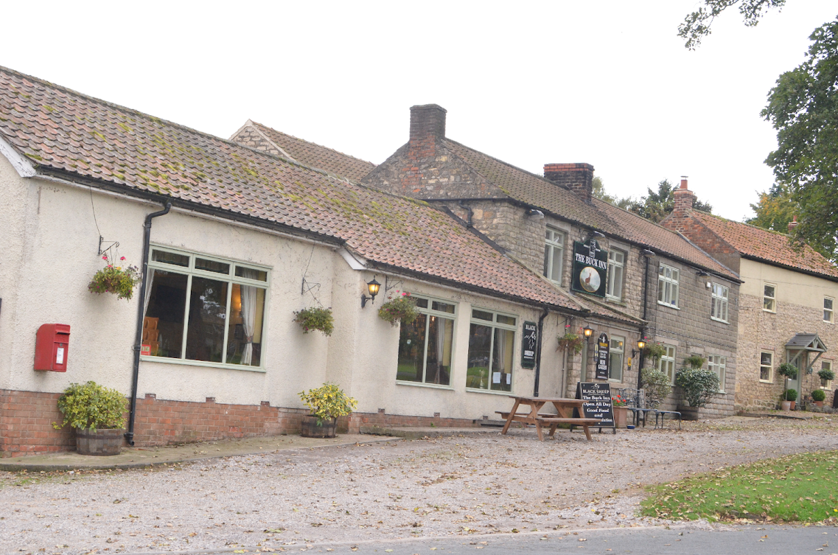
The Buck Inn
The Buck Inn, located on the picturesque Village Green in Thornton Watlass, offers a charming stay with friendly service and delicious meals. While the parking specifics are not detailed, visitors can expect standard pay-and-display options typical of the area. Enjoy the serene surroundings and explore nearby Ripon with ease.
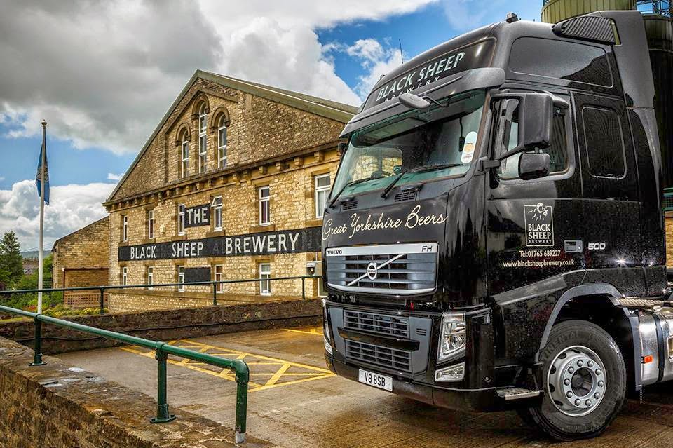
Black Sheep Brewery
Discover the award-winning Black Sheep Brewery in Masham, offering fascinating tours, a welcoming bar, and delicious food amidst stunning Dales scenery.

Browse by Type

Interactive Map
View accommodation, attractions, restaurants, and events on the map
Geographic Facts
This village is geographically within the following regions:
- Population
- 146
- Area
- 901.9 km²
- Postcode
- HG4
- Administrative area
- North Yorkshire Council (formerly Hambleton)
- Dialing code
- 01677
Data sourced from Wikidata and verified public records


Latest news from Thirn
All Local News →
From Local Farm to National Shelves: How a North Yorkshire Rapeseed Oil Business Wins Listing with Garden Centre Chain
A North Yorkshire farm business, Charlie & Ivy's, has landed a major nationwide listing! Find their award-winning rapeseed oil bread dippers in Dobbies now.
Walkshire in Thirn
More Walks in Thirn →
Walk: The Jervaulx Abbey Ramble
This 7 mile circular walk is a lovely low level option for those who want to stay in the valleys and enjoy some historic buildings and bridges surrounded by serene parkland. Located just near East Witton, this is the perfect stopping point for parking, a cup of tea and a staging post for visits to the Brymor Ice Cream Parlour and The Blue Lion pub. The Route what3words for start point: ///decanter.quits.boots Start Point: Jervaulx Abbey Finish Point: Jervaulx Abbey Distance: 7 Miles GPX Route Map thejervaulxabbeyramble1Download Walk Description This walk starts and finishes at the ruins of the cistercian abbey of Jervaulx and hugs the banks of the River Ure for much of the route with no significant ascent throughout . The Abbey, the bridge at Kilgram, St Oswald's Church and Danby Hall are all highlights to say nothing of the characterful Cover Bridge Inn. The wildlife and certainly bird life on this walk can be plentiful. Jervaulx Abbey was founded in 1156 by the monks who made a success of the location by rearing sheep, making the first Wensleydale Cheese and breeding exquisite horses. In 1536 Henry VIII had the treasures from the abbey removed and the building all but destroyed. The abbot marched in protest and was executed soon after. The ruins are all that survived but the atmosphere of the place remains and is spiritual and tranquil. Kilgram Bridge is a wonderful site to see with elaborate arches stretching over the River Ure. It is very old, probably pre-Elizabethan and the local folklore say the devil built it in a day! Danby Hall is the home of the Le Scrope family to this day. This is the same family who built Bolton Castle and owned many properties in Upper Wensleydale. St Oswald's Church, sitting in a wooded area outside Thornton Steward, has evidence of pre-Norman times but was mostly built in 1210. The discovery of human remains in the grounds of the church, thought to be early Christians, led to their second burial with a ceremony and press coverage. The Ulshaw Bridge at the junction of the Ure and Cover below Spennithorne holds an ancient sundial dating from 1674. This used to be a crucial crossing point on the route between Kendal and York. The little church nearby was built by the Le Scrope family. The Cover Bridge pub has changed little over the years and remains popular with the locals and visitors alike. It is a long held tradition that the landlord safeguards the secret of the original recipe for the Wensleydale cheese. The building dates back to 1674 like the sundial on the neighbouring bridge. The pub was a coaching inn in the 16th century.

Walk: Thorp Perrow Arboretum
Enjoy the healing and soothing power of trees in this easy walk around Thorp Perrow Arboretum. The Route what3words for start point: ///contained.packages.respect Start / Finish Point: Car park for Thorp Perrow Arboretum, Bedale, DL8 2PS Distance: 2 Miles GPX Route Map walkshirethorpperrowarboretumDownload Walk Description From the car park, head into the Arboretum through the entrance (charge applies) and walk over the right hand footbridge, then turn right to reach a main track. Turn left and almost immediately turn right, to walk along the Water Steps Path by the side of the lake. Ignore the bridge over the lake on the right, and carry on over a footbridge on this path to reach a junction. Turn right, to keep the lake to your right.walking past Henry’s Island and past Kate’s Island. Turn right over the next bridge and walk past The Falcons. Turn left, then left again to walk on Birch Avenue for a short while, before turning right down Red Oak Avenue. Walk right to the end, then do a sharp left to walk down Rowan Avenue, all the way to the Jubilee Oak. Take the second right exit to walk down Broad Walk, turning right at the end and turning left around the bend to walk down Jenny’ Walk to the Main Avenue. Turn right, then immediately left, down either Acer Glade or Laburnum Walk to cross over the middle footbridge back to the entrance.