
Discover Welburn
Welburn is a village located in North Yorkshire, governed by North Yorkshire Council (formerly Ryedale). With a population of 516, it falls under the YO60 postcode area. The village is situated near the Howardian Hills, an Area of Outstanding Natural Beauty, offering opportunities for scenic walks and exploration.
Explore the map below to discover accommodation, attractions, restaurants, and live events across Welburn. Scroll down to browse featured listings and plan your perfect visit.
Property in Welburn
Property in Welburn will appear here once listings are ingested.
Stay in Welburn
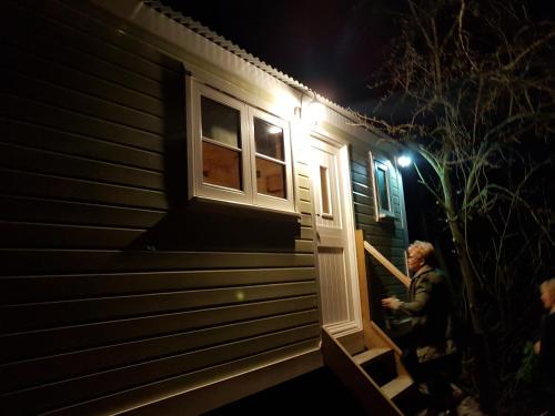
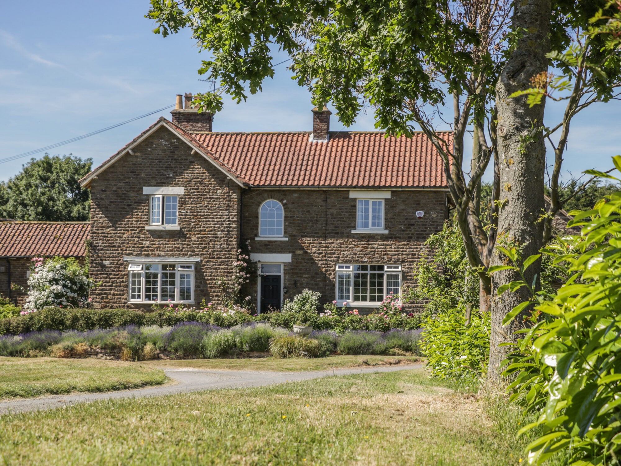
The Dairy
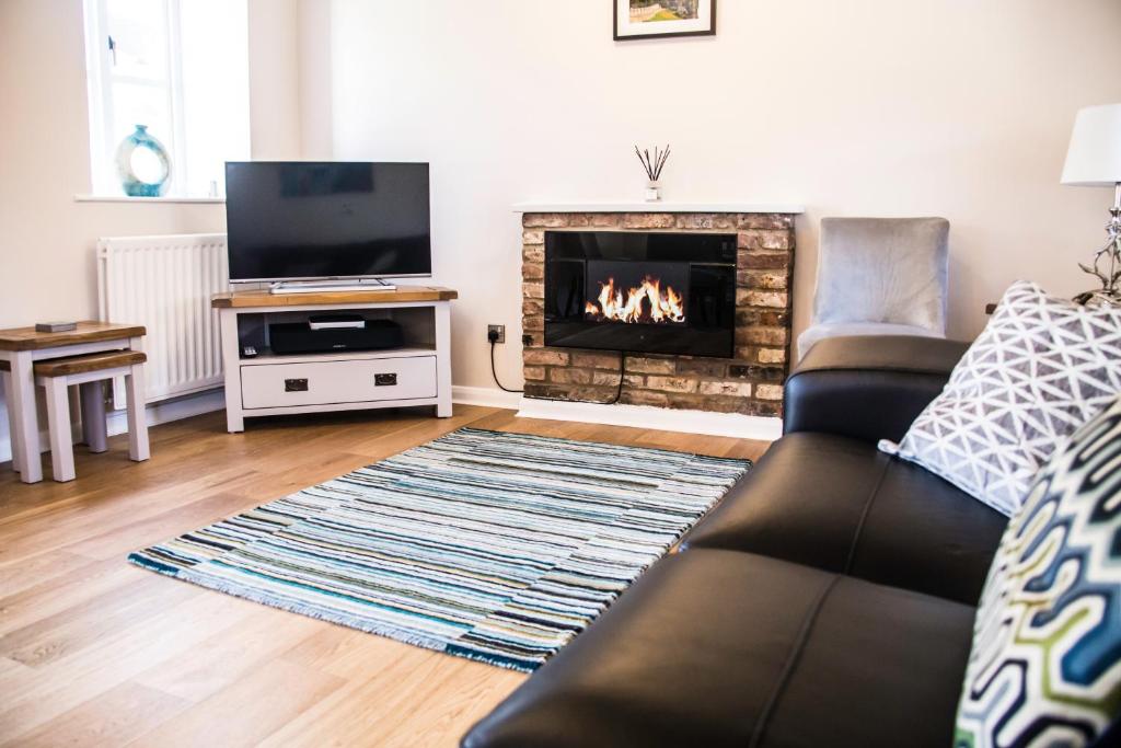
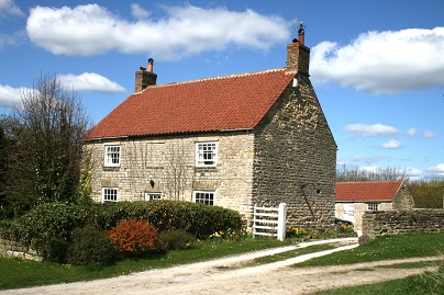
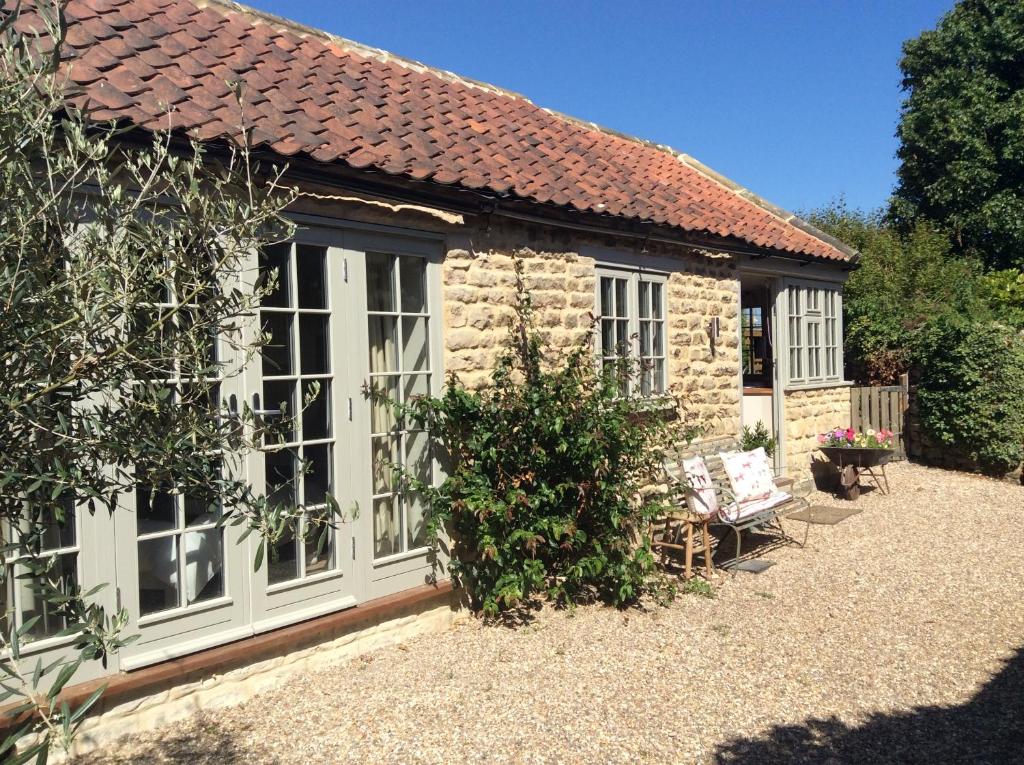
Annex Fishers Yard
Browse by Type
Things to Do in Welburn
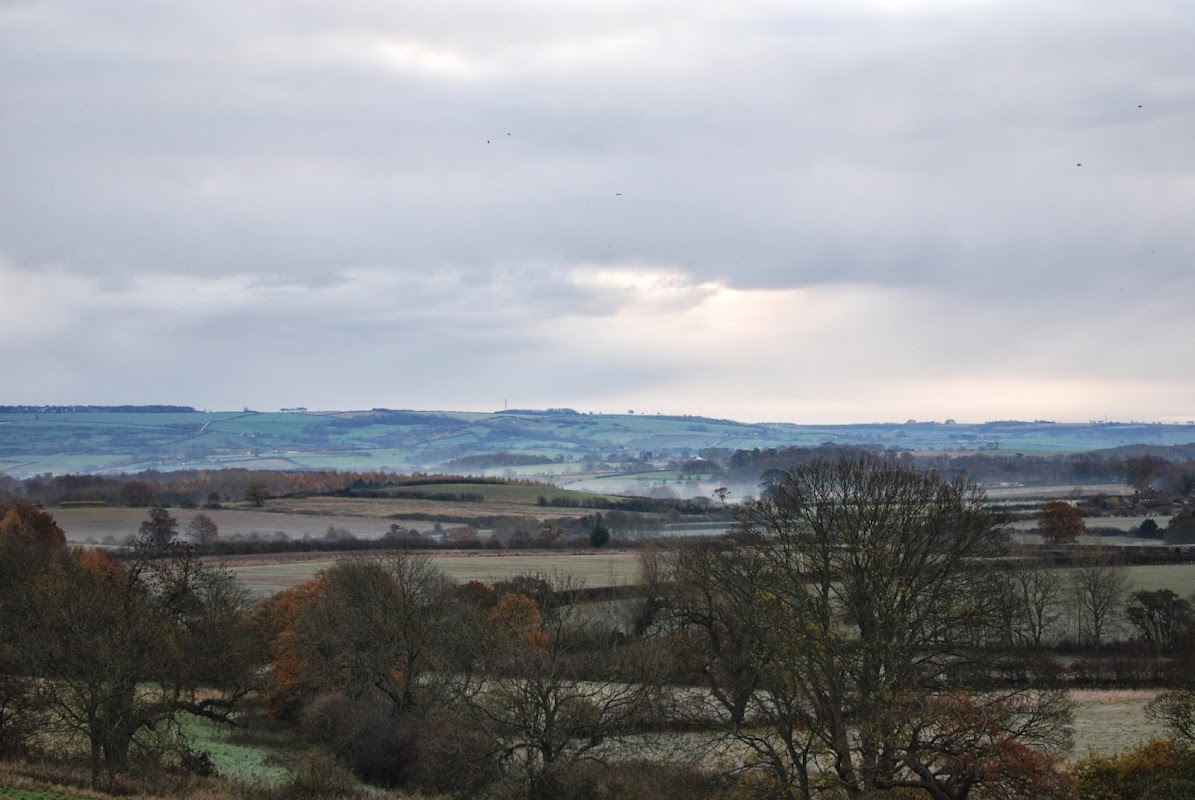
Welburn Village Hall
Welburn Village Hall, located in the picturesque village of Welburn near York, offers a charming venue space with modern facilities. While the hall itself does not have dedicated parking, visitors can find on-street parking nearby, making it accessible for those exploring the area. The hall's amenities include a large event space and outdoor seating, ideal for community gatherings and events.
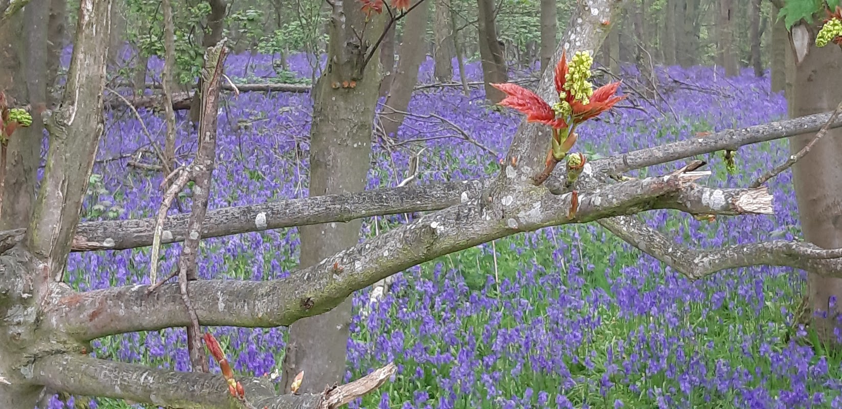
Stittenham Wood
Stittenham Wood offers a serene escape into nature with its beautiful walking trails and seasonal bluebells. While parking can be challenging due to limited options in the village, visitors can enjoy a peaceful day out exploring the natural beauty of the area. Be prepared for potentially muddy paths during winter months.
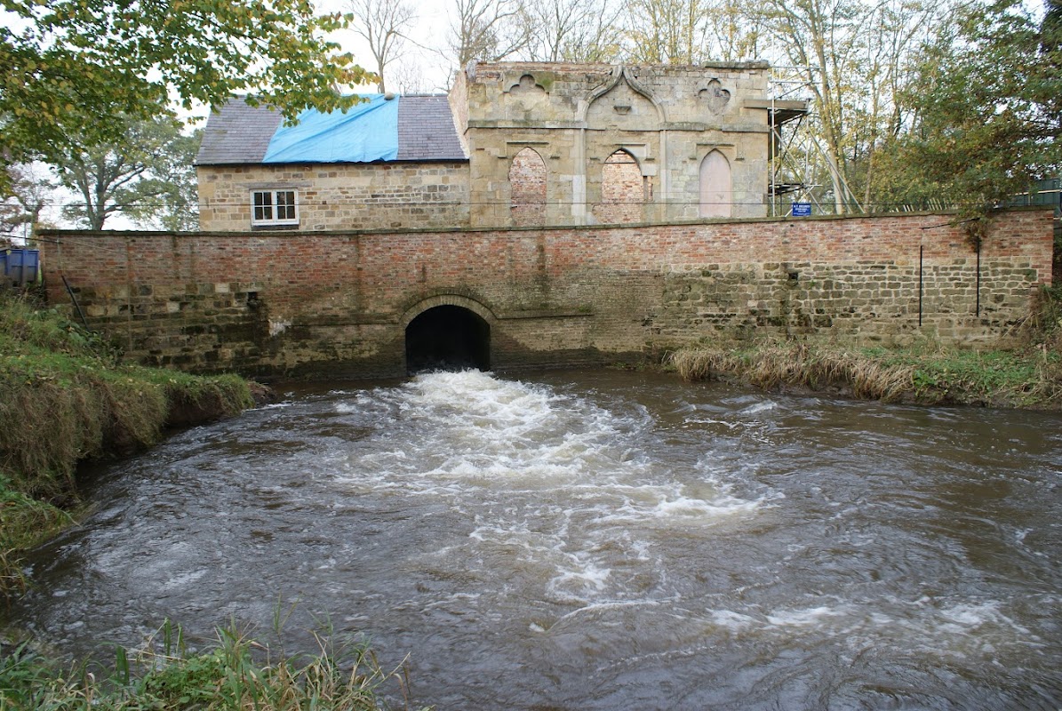
Howsham Woods
Located in the serene area of Howsham, North Yorkshire, the Howsham Woods parking facility offers convenient access for visitors exploring the nearby natural attractions. While specific payment details are not available, it is likely a pay-and-display setup, typical for such locations. Enjoy a peaceful day out in the woods with easy parking access.
Browse by Type
Food & Drink
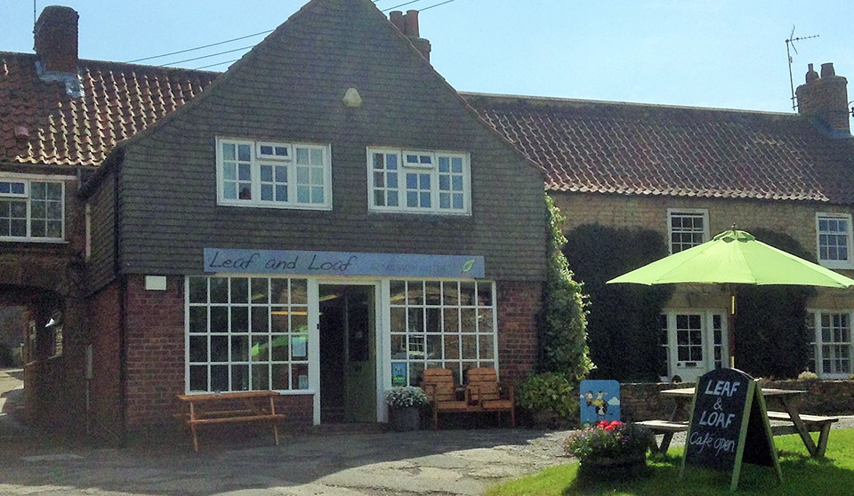
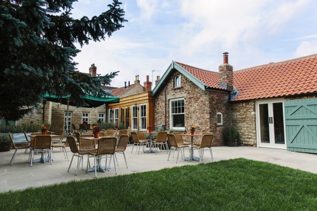
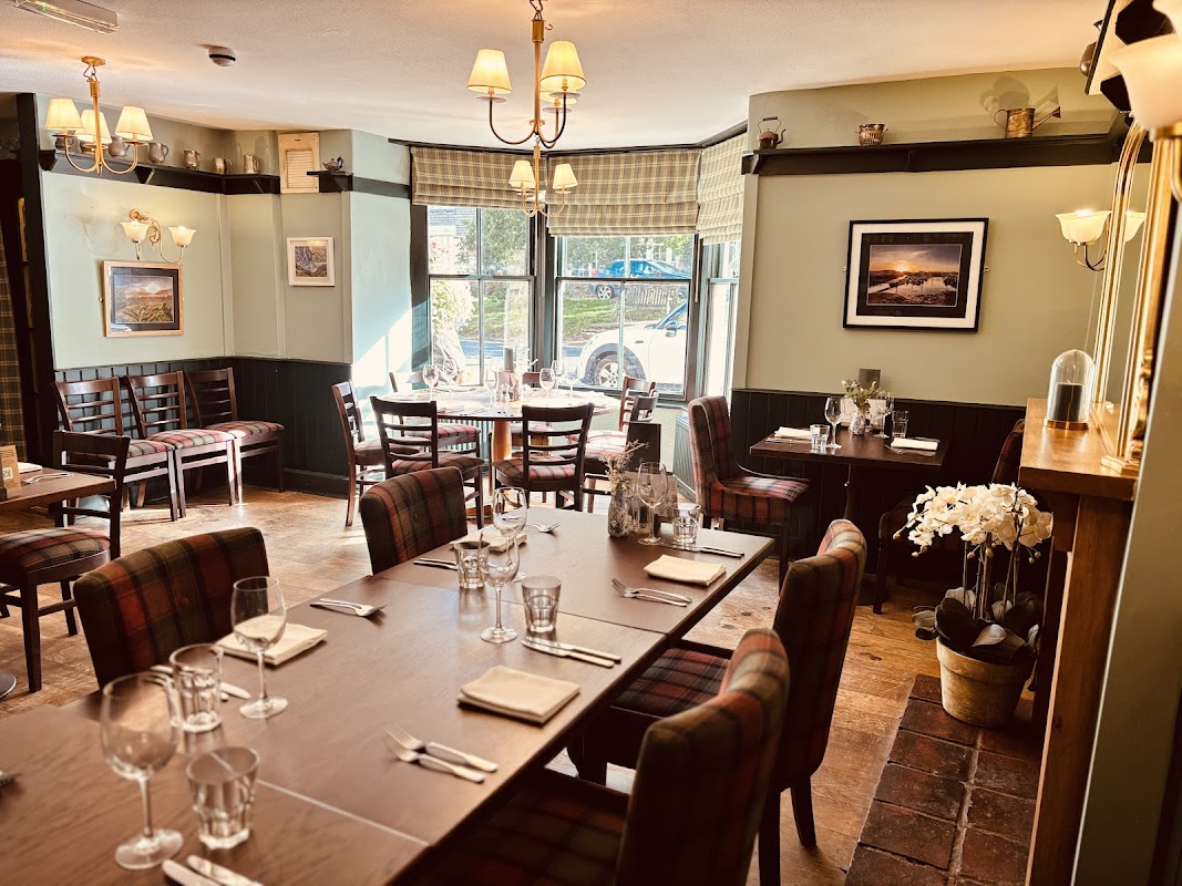
Crown & Cushion
Located in the charming village of Welburn near York, the Crown & Cushion offers convenient parking for visitors looking to enjoy a meal at this popular pub and restaurant. While the parking is likely pay-and-display, the venue itself is known for its welcoming atmosphere and delicious menu, making it a great stop for tourists exploring the area.

Interactive Map
View accommodation, attractions, restaurants, and events on the map
Geographic Facts
This village is geographically within the following regions:
- Population
- 516
- Postcode
- YO60
- Administrative area
- North Yorkshire Council (formerly Ryedale)
- Dialing code
- 01653
Data sourced from Wikidata and verified public records
Upcoming Events in Welburn
View All Events in Welburn →No events found for Welburn yet.
No events found for this period. Check back soon!
View all events in WelburnLatest news from Welburn
All Local News →
Provenance Collection Announces Leadership Changes and Venue Focus in North Yorkshire
Provenance Collection in North Yorkshire is undergoing leadership changes and venue refinements to enhance guest experiences, promising a bright future for its hospitality offerings.

From Local Farm to National Shelves: How a North Yorkshire Rapeseed Oil Business Wins Listing with Garden Centre Chain
A North Yorkshire farm business, Charlie & Ivy's, has landed a major nationwide listing! Find their award-winning rapeseed oil bread dippers in Dobbies now.
Walkshire in Welburn
More Walks in Welburn →
Walk: High Hutton to Crambeck
Take in the countryside between High Hutton and Crambeck near Malton on this easy walk from a Coastliner bus. The Route what3words for start point: ///revives.decisions.checked Start Point: Bus stops near Huttons Ambo Lane End, York YO60 7HU Finish Point: Bus stops near Crambeck village, Crambeck, York YO60 7EZ Distance: 4.5 Miles GPX Route Map walkshirehighhuttontocrambeckDownload Walk Description From the bus stops, turn so the Saltergate Car Park is behind you, and head left - crossing the road if you need to - and head through the gap in the fence on the right, Then turn right again to be walking away from - but parallel to - the A169 road. Follow it around to the left until the paths split. Take the left fork, around the edges of the trees, and then left again as a path branches off into the scrubland. Follow this line until you reach a clear path intersecting yours; turn left on this path through the trees and then right. The paths split and here take the left hand higher path. Go through three fields and then walk along the left side of a hedgerow in the forth field. At the end of this, look head but to the left slightly for an entrance path into the wood in front of you, and walk towards this. Head through the wood to emerge on the other side, and head left to find the gap in the boundary of the fields. Go through and turn slightly right, heading for the gate you should be able to see in the boundary straight ahead. Go through this and head for the boundary ahead, turning right when you reach it. Turn left through the boundary when you can, and then head to the left of the row of trees which is ahead of you. At the next boundary ahead, turn right and head into the wood following the path which eventually brings you out the other side and down on a clear path into the Hole of Horcum. Continue to follow the path and it leads back to where the paths split towards the start. Follow the path back towards the main road, and turn right to retrace your steps back to be bus stops near the car park.

Walk: Castle Howard Parkland Circular Walk
A beautiful 5 mile walk around the outside parklands of Castle Howard just near Malton and Slingsby in East Yorkshire. Take in the lakes, the monuments and open countryside with great views of the house itself. The Route what3words for start point: ///scribble.ratio.stumpy Start Point: Castle Howard, York YO60 7DA Finish Point: Castle Howard, York YO60 7DA Distance: 5 Miles GPX Route Map castlehowardcircularDownload Walk Description A beautiful 5 mile walk around the outside parklands of Castle Howard. Take in the lakes, the monuments and open countryside with great views of the house itself. No need to pay for entry in this walk as you go all around the estate perimeter and get views of many of the monuments and follys on the route as well. Start near the car park at Castle Howard entrance. (Free Parking). The Obelisk is unmissable near the entrance and this is the start point. On the walk start you head northwards from here (right out the car park) and along the straight road. Then, eventually you will reach a crossroads where you turn right into the beautiful village of Coneysthorpe. You will begin to get fantastic views of Castle Howard over the Great Lake. After passing through the village the path off to the right takes you through open meadows that complement the parkland fantastically. At Ray Wood you pass by and through on a a well kept woodland path that really adds to a walk with variety. You will soon see the outer wall of Castle Howard on your right as you approach the Temple up the slope. A unique view of the Temple rather than the other side you get on entry. From here you walk down the field to New River Bridge where you again get a magnificent view of castle Howard, and the other way the Mausoleum on the hill. At the next junction turn right onto the small lane and you will pass beside The Pyramid. When you reach the gatehouse, turn right again and you will end up back again at the Obelisk.

Walk: The Centenary Way
England's picturesque landscapes are woven with countless trails, but one that captures the essence of both natural beauty and historical depth is the Centenary Way. This long-distance footpath stretches approximately 209 kilometres (130 miles) and offers an immersive journey through the heart of Yorkshire. Established in 1989 to commemorate the 100th anniversary of the North and East Yorkshire County Councils, the Centenary Way is a path less travelled but rich with sights and stories. The Route what3words for start point: ///shot.before.large Start Point: York Minster, Deangate, York YO1 7HH Finish Point: Filey Distance: 130 miles GPX Route Map centenary-way-yorkshireDownload Walk Description Starting Point: York Minster The journey begins at the majestic York Minster, one of the largest cathedrals in Northern Europe. The Minster is not just a starting point but a symbol of the historical depth you'll encounter on this trek. From here, the path winds through the quaint streets of York, exiting the city into the expansive landscapes that characterize rural Yorkshire. Through the Vale of York and the Yorkshire Wolds After leaving York, the Centenary Way heads northeast towards the Howardian Hills, an Area of Outstanding Natural Beauty. The route meanders through lush valleys and woodlands, offering tranquil views and a peaceful walking experience. The path then continues into the Yorkshire Wolds, known for their rolling hills and deep dry valleys, providing breathtaking vistas and challenging hikes. Historical Highlights and Natural Beauty One of the most enchanting aspects of the Centenary Way is its rich tapestry of historical sites. Castles, ancient ruins, and historic villages dot the landscape. Highlights include the ruins of Sheriff Hutton Castle, the serene beauty of Castle Howard’s grounds, and the market towns like Malton, known for its food festivals and Roman history. The trail also passes through less frequented, but equally mesmerizing, areas such as the River Derwent and the quaint village of Filey. Here, the trail shifts dramatically as it approaches the coast, culminating in the dramatic cliffs and expansive views of the North Sea at Filey Brigg. Calling points Click on the callings points below for more information: York MinsterHuntingtonNew EarswickStrensallWest LillingSheriff HuttonTerringtonSlingsbyConeysthorpeCastle HowardWelburnLow HuttonMaltonNortonSettringtonNorth GrimstonBirdsallThixendaleWharram PercyWintringhamWest HeslertonSherburnPotter BromptonGantonHunmanbyFiley Practical Tips for the Trail Planning Your Visit: The Centenary Way can be tackled in sections or as a whole over several days. Accommodations range from rustic camping sites to comfortable B&Bs, allowing for various levels of comfort and budget. What to Bring: Prepare for variable weather by dressing in layers and carrying waterproof gear. Sturdy hiking boots are essential, as the terrain can vary from flat footpaths to rugged hillside trails. Navigation: Waymarking along the Centenary Way is generally good, but carrying a detailed map or a GPS device is recommended to avoid any off-track adventures.