
Discover West Stonesdale
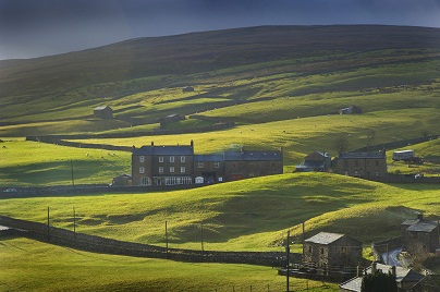
West Stonesdale is a village located in the Yorkshire Dales, governed by North Yorkshire Council. Known for its rugged landscapes and traditional stone architecture, it is part of the scenic Swaledale area. The village offers insights into rural life and serves as a gateway for hiking and exploration in the surrounding countryside.
Explore the map below to discover accommodation, attractions, restaurants, and live events across West Stonesdale. Scroll down to browse featured listings and plan your perfect visit.


Things to Do in West Stonesdale
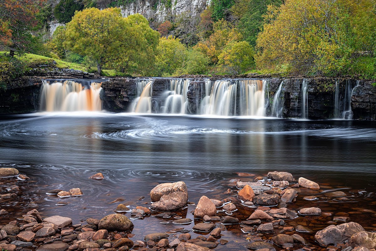
Wain Wath Force
Wain Wath Force offers a picturesque roadside parking experience in West Stonesdale, ideal for visitors looking to explore the natural beauty of the area. With limited on-street parking available for 4 to 5 cars, it's a convenient spot for those eager to enjoy the nearby waterfall and scenic walks. This charming location is perfect for photography enthusiasts, especially during the vibrant autumn months.
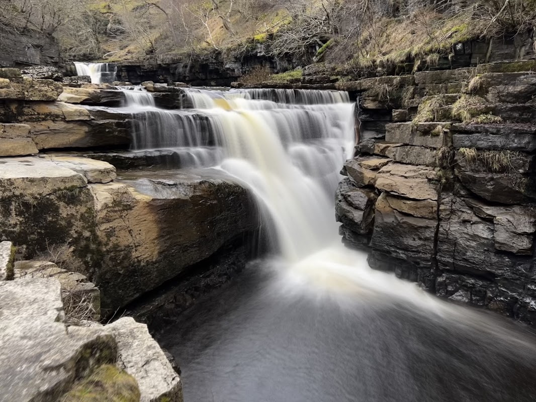
Kisdon Force
Kisdon Force offers a convenient parking area with an honesty box system, located near the beautiful River Swale in Keld, Richmond. This spot provides clean toilet facilities and serves as an excellent starting point for exploring the scenic trails and waterfalls in the area. Ideal for those looking to enjoy a peaceful walk or a refreshing dip after a hike.
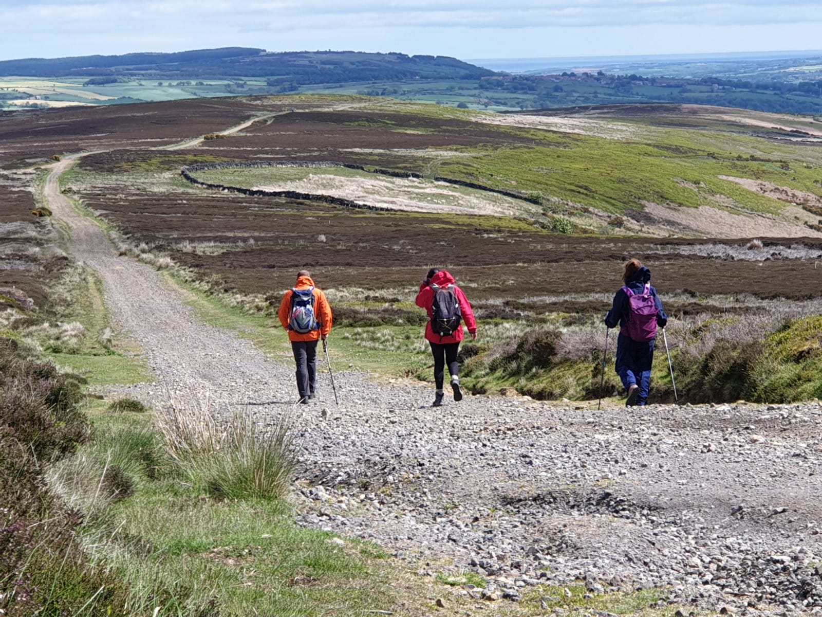
Coast to Coast Packhorse Ltd
Browse by Type
Food & Drink

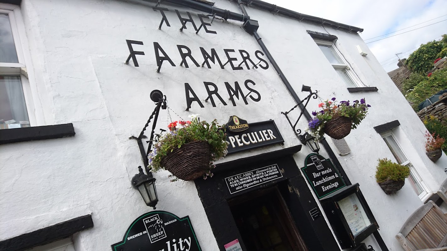
Farmers Arms
The Farmers Arms in Thwaite, North Yorkshire, offers a cozy and welcoming atmosphere, perfect for unwinding after exploring the scenic surroundings. While specific parking details are not provided, typical facilities in the area are pay-and-display, ensuring convenient access for visitors. Enjoy the local charm and delicious homemade food at this quintessentially British pub.
Browse by Type

Interactive Map
View accommodation, attractions, restaurants, and events on the map
Geographic Facts
This village is geographically within the following regions:
- Administrative area
- Muker
- Dialing code
- 01748
Data sourced from Wikidata and verified public records
Upcoming Events in West Stonesdale
View All Events in West Stonesdale →No events found for West Stonesdale yet.
No events found for this period. Check back soon!
View all events in West StonesdaleLatest news from West Stonesdale
All Local News →
From Local Farm to National Shelves: How a North Yorkshire Rapeseed Oil Business Wins Listing with Garden Centre Chain
A North Yorkshire farm business, Charlie & Ivy's, has landed a major nationwide listing! Find their award-winning rapeseed oil bread dippers in Dobbies now.
Walkshire in West Stonesdale
More Walks in West Stonesdale →
Walk: Kisdon Gorge
A fantastic circuit of Kisdon Gorge in Swaledale, visiting traditional Dales villages and cascading waterfalls, exploring a hidden gill and enjoying stunning views from the atmospheric ruins of ‘Crackpot Hall’. The Route what3words for start point: ///engulfing.prompts.whistle Start Point: Muker in Swaledale Finish Point: Muker in Swaledale Distance: 7 Miles GPX Route Map explorekisdonDownload Walk Description The walk sets off from the charming Dales village of Muker and begins with a gentle stroll through traditional hay meadows, which are filled with a stunning array of wildflowers in late spring and early summer, and along the banks of the infant River Swale. Leave the main track to explore the narrow paths along steep-sided Swinner Gill, taking you past tumbling cascades to reach a beautiful set of waterfalls and the crumbling remains of an old smelt mill. Having gained height you now get stunning views down the length of Kisdon Gorge as you head towards the atmospheric ruins of Crackpot Hall. On re-joining the main bridleway along the gorge, you soon reach pretty little East Gill Force, where the beck leads you downhill back to the River Swale. A short detour gives you chance to explore the remote village of Keld with its lovely hillside setting before stopping to visit impressive Kisdon Force. Take the high-level path along the western side of Kisdon Gorge, which offers yet more fantastic open views over the gorge and along Swaledale. Drop back into Muker for a well-earned drink at the friendly Farmers Arms! This is a fantastic circular walk and, despite its relatively modest length, can easily take most of a day if you spend plenty of time enjoying the villages, exploring Swinner Gill, soaking up the views and admiring the waterfalls (or even taking a quick dip!).

Walk: Great Shunner Fell
As the third highest peak in the Yorkshire Dales, Shunner Fell is a great peak to get in the bag whilst in the Yorkshire Dales. This scenic walk starts from the small village of Hardraw, near the impressive Hardraw Force waterfall, the highest unbroken waterfall in England. Follow the well-marked Pennine Way as it winds through rolling hills and rugged terrain, offering an invigorating hike of around 8 miles. The Route what3words for start point: ///baroness.drop.rebounder Start Point: Hardraw, Hawes DL8 3LZ Finish Point: Hardraw, Hawes DL8 3LZ Distance: 8 Miles GPX Route Map Great-Shunner-FellDownload Walk Description As you ascend, the path becomes steeper, rewarding walkers with increasingly spectacular views of the surrounding Wensleydale landscape. Upon reaching the summit of Great Shunner Fell, you are greeted with breath-taking panoramic views that extend across the Dales. On a clear day, you can see as far as the Lake District and the distant hills of Northumberland. The route is composed of a mixture of well-trodden paths and some more challenging sections, making it suitable for walkers with a reasonable level of fitness. Along the way, the area's natural beauty is complemented by rich wildlife, including curlews and plovers. Ensure you are prepared with appropriate footwear, weather-appropriate clothing, and sufficient water, as the weather can change quickly in the area. The walk back to Hardraw retraces the path taken to the summit.

Walk: Muker, Keld & Kisdon
This walk takes in Muker, Upper Swaledale, Crackpot Hall, Keld and Kisdon. The Route What3Words for start point: ///unions.happening.bake Start Point: Muker, Swaledale Finish Point: Muker, Swaledale Distance: 6.5 Miles GPX Route Map muker-keld-and-kisdonDownload Walk Description Muker is a lovely village in Upper Swaledale, a jumble of stone cottages and a great country pub, all set amongst magnificent fells and valleys. The finest hay-meadows in the Yorkshire Dales, arguably in England, can be found around the lovely village of Muker in late spring. Here, the small fields along the flat valley floor are a mass of bright yellows, blues, reds and whites. Buttercup, forget-me-not, cow parsley, clover, common bird’s-foot trefoil, meadow cranesbill to name just a handful. Cut later than normal to allow the wild flowers and grasses time to seed, these meadows are fiercely protected. Please keep to the footpath and under no circumstances pick any of the wild flowers. Interestingly, the word ‘muker’ means ‘meadows’ in Old Norse - named by the Viking settlers who came here over 1,000 years ago. This walk encapsulates the Yorkshire Dales with hay meadows, riverside walks, field walls and barns, woodland, waterfalls, windswept summits and superb views. Field-paths lead up through the deep U-shaped valley of Swaledale into a narrow wooded gorge near Keld with numerous waterfalls all around, in particular Catrake Force, Kisdon Force and East Stonesdale Force; ‘keld’ means ‘springs’ in Old Norse. From the hamlet of Keld, our route follows a superb track up over Kisdon Hill with breath-taking views across Swaledale towards the high fells of Lovely Seat and Great Shunner Fell. The final descent is a fitting end to this walk with the deep valley of Swaledale gently curving away into the distance and the grey rooftops of Muker nestling in the valley below. This track across Kisdon Hill once formed part of the ancient ‘Corpse Way’. Before the church was built at Muker during the reign of Elizabeth I, mourners had to carry their deceased relatives to the nearest burial ground at Grinton, a journey that is believed to have stemmed from Norse mythology – it mirrored the journey of the soul from earth to the next life.

Walk: Coast 2 Coast
The Famous Wainwright Coast to Coast from Fleswic Bay on the west coast near Whitehaven to Robin Hood's Bay on Yorkshire's famous coast. The Route Start Point: Flexwick Bay, Whitehaven Finish Point: Robin Hood's Bay, North Yorkshire Distance: 182 Miles GPX Route Map c2cDownload Walk Description The famous Wainwright Coast to Coast from Fleswick Bay on the west coast near Whitehaven to Robin Hood's Bay on Yorkshire's famous coastline. The route covers both the Yorkshire Dales as well as the North York Moors. This route takes around 16 days to complete and many people walk it in sections over a number of weeks or months. Get the guide books A challenging route, plenty of planning is advisable before tackling the challenge - try these books for help: Or, save the planet and go digital: