
Discover Wistow, North Yorkshire
Wistow is a village located in North Yorkshire, governed by North Yorkshire Council (formerly Selby). With a population of around 1,333 residents, it falls within the YO8 postcode area. The village is notable for its proximity to Selby, offering a glimpse into rural life with its agricultural landscape and community events.
Explore the map below to discover accommodation, attractions, restaurants, and live events across Wistow, North Yorkshire. Scroll down to browse featured listings and plan your perfect visit.
Stay in Wistow, North Yorkshire
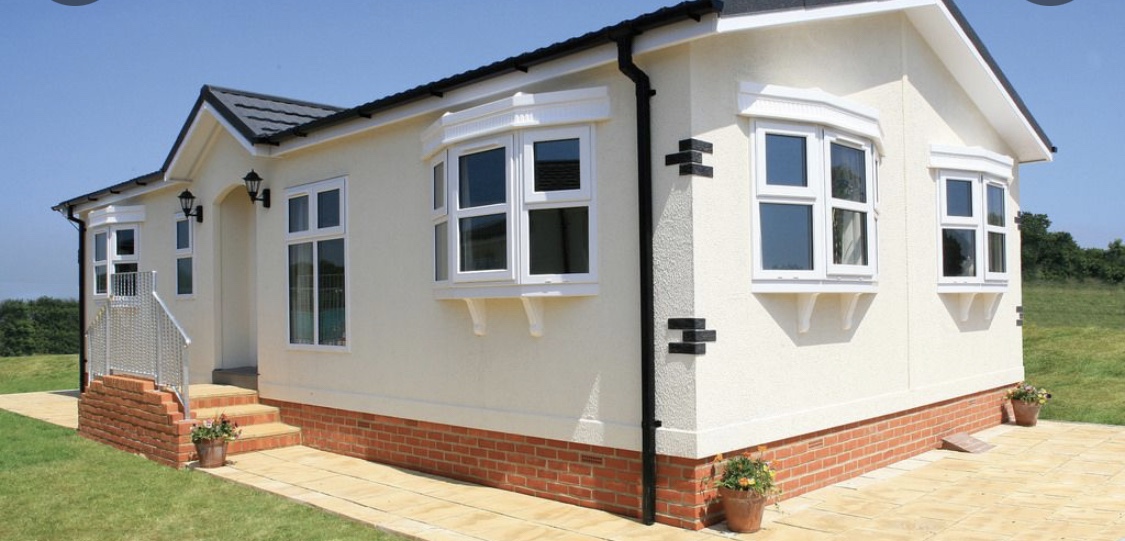
Greenacres mobile home park
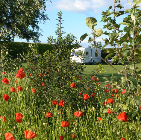
Greenacres Mobile Home Park in Brayton, North Yorkshire, offers a serene and picturesque setting for visitors. While primarily a mobile home park, it provides convenient parking options for guests exploring the scenic surroundings. Enjoy the tranquility and stunning views that make this location a charming retreat.
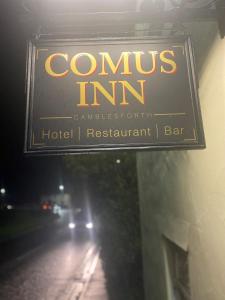
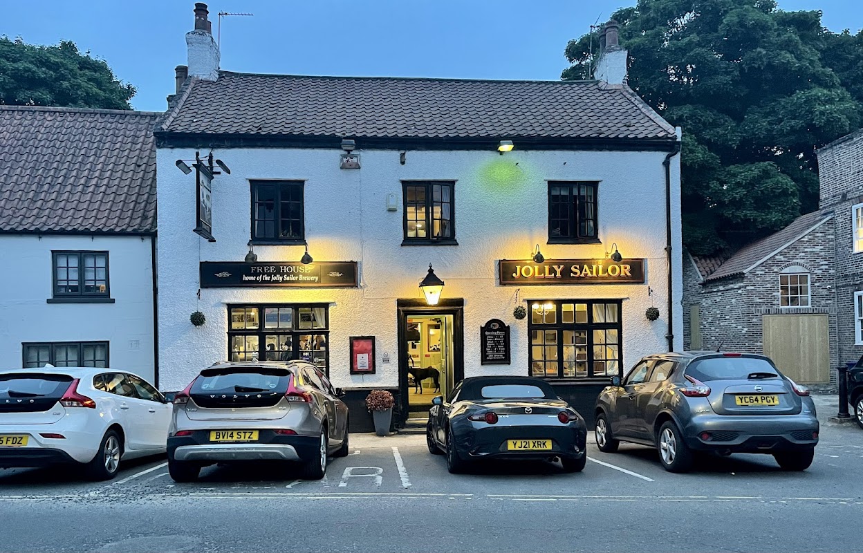
The Jolly Sailor Inn
The Jolly Sailor Inn in Cawood offers a charming stay with its historic pub atmosphere and delightful homemade meals. While the inn itself does not have dedicated parking, visitors can find pay-and-display options nearby in the picturesque village of Cawood, perfect for exploring the local area.
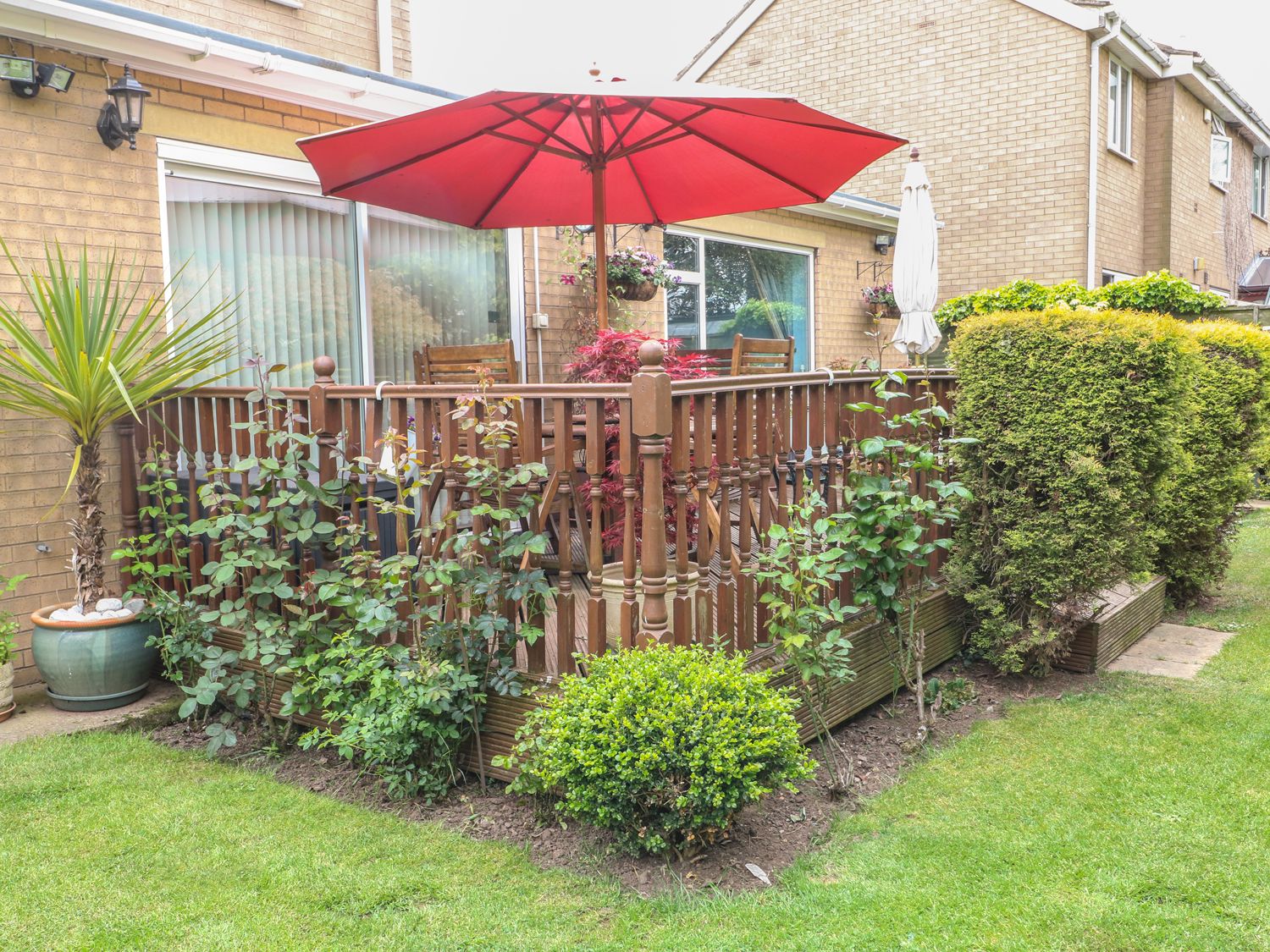
Brayton Retreat
South Newlands Farm Cottages
The Hazeldene
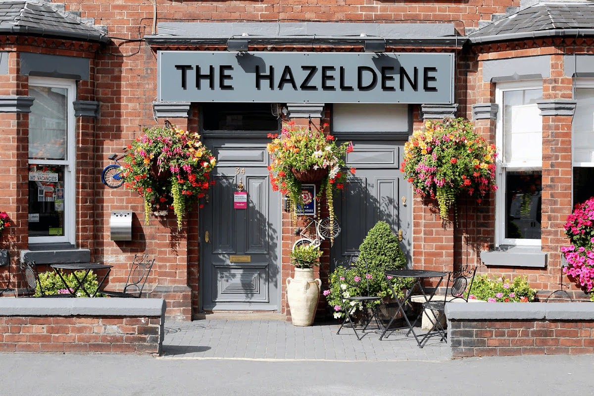
Experience a warm welcome and comfortable stay at The Hazeldene, a highly-rated guest house offering well-appointed rooms in central Selby.
Things to Do in Wistow, North Yorkshire
Wistow New Jubilee Village Hall
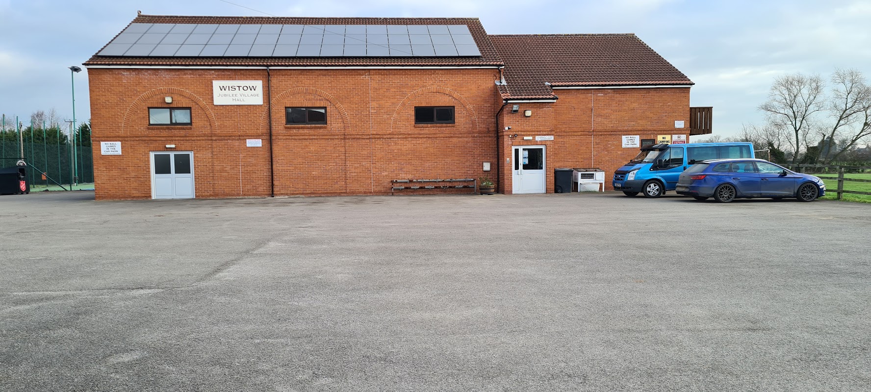
Wistow New Jubilee Village Hall offers ample parking facilities, making it an ideal starting point for cycling events or a convenient spot for attending local activities. Located in the picturesque village of Wistow, North Yorkshire, this venue provides easy access to the surrounding countryside and local attractions.
Selby Park
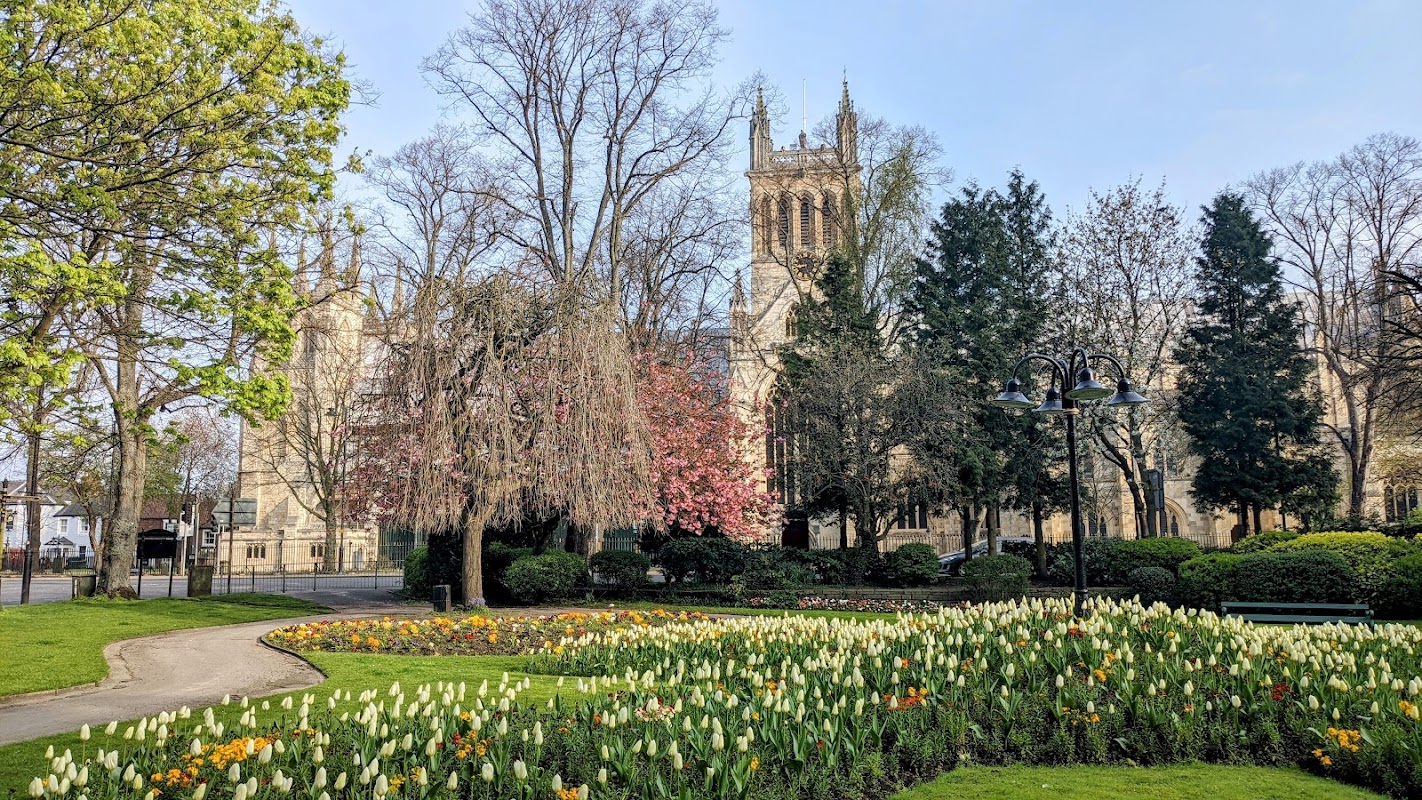
Selby Park offers a serene escape, boasting beautiful trees, vibrant flower beds, and spaces for peaceful relaxation or family enjoyment.

Wistow Tennis Club
Wistow Tennis Club offers convenient parking at Jubilee Hall in Wistow, North Yorkshire, perfect for visitors attending events or enjoying local sports activities. The ample parking space is ideal for those exploring the charming village of Wistow and its surroundings.
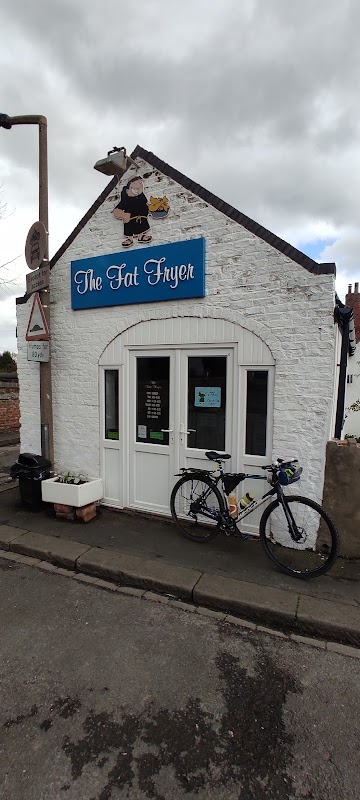
The Fat Fryer
Located in the charming village of Wistow, North Yorkshire, The Fat Fryer offers a delightful dining experience with its renowned fish and chips. While visiting, tourists can enjoy the convenience of pay-and-display parking nearby, making it easy to explore the local area and savor the delicious offerings of this highly recommended eatery.
Black Swan
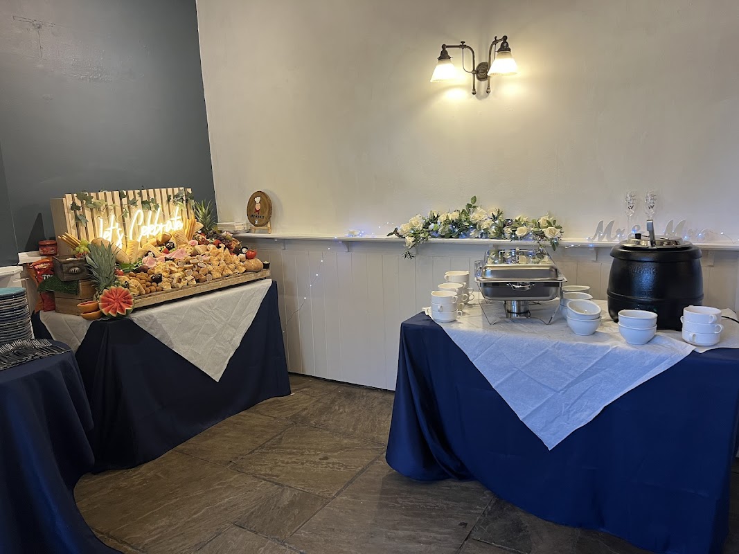
Located in the charming village of Wistow, North Yorkshire, the Black Swan offers convenient parking for visitors looking to enjoy a delightful pub experience. While primarily a pub, it is likely that parking is available on a pay-and-display basis, typical for such establishments in the area. Enjoy a warm welcome and delicious home-cooked meals in this cozy setting.

Interactive Map
View accommodation, attractions, restaurants, and events on the map
Geographic Facts
This village is geographically within the following regions:
- Population
- 1,333
- Postcode
- YO8
- Administrative area
- North Yorkshire Council (formerly Selby)
- Dialing code
- 01757
Data sourced from Wikidata and verified public records
Upcoming Events in Wistow, North Yorkshire
View All Events in Wistow, North Yorkshire →




Browse by Type
Latest news from Wistow, North Yorkshire
All Local News →
From Local Farm to National Shelves: How a North Yorkshire Rapeseed Oil Business Wins Listing with Garden Centre Chain
A North Yorkshire farm business, Charlie & Ivy's, has landed a major nationwide listing! Find their award-winning rapeseed oil bread dippers in Dobbies now.
Walkshire in Wistow, North Yorkshire
More Walks in Wistow, North Yorkshire →
Walk: Wolsey Walk
Known as the “Windsor of the North” because of its association with royalty and archbishops, Cawood is an attractive village with many historic associations, which you can see on the circular ‘Wolsey Walk’ that takes you around the village and past the impressive Cawood Castle. The Route Start / Finish Point: Old Road, Cawood, Selby YO8 3SG Distance: 5 Miles GPX Route Map wolseywalkDownload Walk Description Situated on the southern bank of the River Ouse a little over five miles from Selby, Cawood is sometimes known as the “Windsor of the North” because of its association with royalty and archbishops in past centuries. Today it is an attractive village with many historic associations, which you can see on the circular ‘Wolsey Walk’ that takes you around the village and past the impressive Cawood Castle, believed to be the source of the Humpty Dumpty nursery rhyme. Wolsey Walk is a circular route, starting from Cawood and has proved to be very popular over the years. Covering approximately five miles in length, it is not strenuous and therefore is idea for family groups. The approximate time for this walk is 2 - 2.5 hrs. Several notable landmarks are encompassed on the route. Start Point: Old Road, adjacent to the River Ouse near Cawood Swing Bridge. Terrain: Minor roads, tracks through arable land and a good stretch of riverside paths. Some parts may be muddy at times, so sensible shoes or boots are advised.

Walk: Selby Horseshoe
Starting and finishing at Selby Abbey, Selby Horseshoe heads along the Selby Canal towpath, on well-trodden paths and through Brayton Barff's ancient woodland, taking in a whole myriad of wildlife. The Route Start / Finish Point: Selby Abbey, The Crescent, Selby YO8 4PU Distance: 9 Miles GPX Route Map selbyhorseshoeDownload Walk Description This nine mile circular route, with sections along Selby Canal towpath, past Selby Dam, through spectacular ancient oak woodland in Brayton Barff, and along well-trodden tracks and footpaths, is a pleasant stroll for all seasons. It’s particularly good in spring when a variety of wildflowers and birds can be seen. If you are lucky, this walk should offer you the chance to spot a whole myriad of wildlife, especially water birds along the canal side. As the route starts and finishes at Selby Abbey, it’s the perfect opportunity for you to visit. Overflowing with heritage and culture, the great Norman Selby Abbey, founded under William the Conqueror by Royal Charter, is the jewel in Selby District’s crown. The Norman Nave and "Decorated" Chancel are considered to be among the finest examples of 12th and 14th Century architecture in England. The Abbey is reputed to be the birthplace of King Henry I of England, the son of William the Conqueror and also links to the modern-day American flag, with its Washington Window. With an international reputation as one of the most important church buildings in the world, and with many fascinating human stories linked to its 1000 year history, Selby Abbey is a delight to visit Once you’ve had chance to marvel at the magnificent Selby Abbey, follow the route, as follows: Starting from Selby Abbey head in a south easterly direction along the A1041 Bawtry Road pavement. Join the canal towpath on the north side of the road bridge, near the traffic island from which Canal Road leads off to the left. Pass under the bridge and follow the towpath south westerly for about 3 miles. Turn right (away from the canal) at Burton Bridge and follow the bridleway towards Selby Golf Club. Cross the road, go through the kissing gate and follow the public footpath off to the right, through a gorse shrubbery, turning left to follow the golf course perimeter path. Continue over the A63 (Selby Bypass) where the path heads through Brayton Barff woodland. Emerge from the woods and cross over Barff Lane to join the bridleway up to the busy A1238 and Thorpe Willoughby. Carefully cross over the road and turn left along the pavement/footway. Turn right onto a minor road - Dam Lane - and follow this road for approximately 400 metres, then turn right onto a public footpath at the signpost just beyond Thorpe Hall. Follow the farm track/path, keeping the hedge to your left, and eventually the route passes Cross Hills Farm and becomes a hard surfaced track. Soon after reaching the edge of town, at the road junction by the playground, turn right onto Flaxley Road. Continue along the pavement, then turn right into Scott Road, then left at the traffic lights to the Gowthorpe main shopping area. This leads back to the start of the walk at Selby Abbey.

Walk: Riccall Round
These two circular walks take in the historic countryside in and around the village of Riccall. The Route what3words for start point: ///safe.dictation.credit Start Point: Regen Centre, Landing Lane, Riccall YO19 6PW Finish Point: Regen Centre, Landing Lane, Riccall YO19 6PW Distance: 5 Miles GPX Route Map riccallroundwalkDownload Walk Description These two circular walks take in the historic countryside in and around the village of Riccall. Riccall is a village of character and history. It lies north of Selby, above the flood plain east of the River Ouse. The settlement was well-established when it saw the landing of Vikings in 1066, prior to their battles at Gate Fulford and Stamford Bridge. The sense of history in Riccall is marked by many buildings in the village. Start at the Regen Centre in Landing Lane, where there are adequate parking, toilet and refreshment facilities. Turn right on leaving the car park and walk for 100 metres before turning left, heading south towards the river. This area is part of the historic West Field one of the pre-enclosure fields that surrounded the village. On reaching the river turn right and walk along the flood bank until you come to Riccall Landing, where the ferry to the settlements west of the Ouse was situated and where the Vikings landed in 1066. Many skeletons have been discovered in this area and these are believed to belong to some of the defeated Viking troops returning to their boats. Carry on along the bank. Ahead of you is Wheel Hall Farm which stands on the site of Wheel Hall, a medieval residence of the Bishop of Durham. Before reaching this you should turn right through the stile and head to the Riccall – Kelfield road. At the road turn right and walk with great care (there is no footway) until you enter the village and rise several metres above the flood plain. On the left is the Prebendal Manor House, originally part of the Archbishop of York’s estate. For many years after 1869 it was used as the vicarage. After a further 200 metres turn left up a narrow path that eventually takes you along the perimeter of the primary school which was established in 1931. After leaving the school, you head east and then north-east alongside some of the village’s field gardens (allotments). Follow the footpath indicated by the signs, keeping the allotments on your left. On leaving the field gardens you head north across an open field, before turning right, heading back to the village, passing the Millennium Green on your left hand side. This area is part of the historic North Field. The Millennium Green is open to the public and has seating, a picnic bench and is a haven for wild flowers. It was opened in 2000, partially on the site of an old piggery. On reaching York Road you turn south and head towards the Village Green, Church, shops and inns. The Church is Norman in origin, with an interior that was restored in 1865. Church Street, to the west of the Church, will lead you into Landing Lane and back to the Regen Centre, passing the old mill on your left hand side. There were once three windmills in Riccall. The Old Mill, last used in 1910, is now a restaurant. It probably stands on the site of the prebend’s windmill, first recorded in 1295.

Walk: Selby Trails Part 3. The Oak Trail
Discover Selby park, Selby wildlife pond, Brayton Barff Woods and Fairy Pin Well. A 3.8 mile flat route with very little incline. The Route what3words for start point: ///open.powers.hawks Start Point: Selby Park, 165 Bawtry Rd, Selby YO8 4PW Finish Point: Brayton Barff Woods, 53 Barff Ln, Brayton, Selby YO8 9ET Distance: 3.8 Miles GPX Route Map selbytrailspart3theoaktrailDownload Walk Description Discover Selby park, Selby wildlife pond, Brayton Barff Woods and Fairy Pin Well. A 3.8 mile flat route with very little incline. The Oak Trail instructions: 1. Follow Station Road and take a left onto The Crescent. Take a right next to Thomas the Bakers and take a left to follow the road down to Selby Wildlife Pond.2. Back at The Crescent take a left and join New Lane (after Edinburgh Woollen Mill).3. Continue on New Lane until a right turn to Massey Street, which will lead you to Union Lane. This will then join Doncaster Road.4. Heading down Doncaster Road, turn right just after St. Wilfrid’s Church then left across the field to Foxhills Lane, continuing across onto Moat Way.5. Follow the path and waymarks through the estate and into the field to pick up the path to Cross Gates Level Crossing.6. Continue along the A1238, Leeds Road and take a left along Fox Lane next to the Fox Pub.7. At the end of Fox Wood turn left onto Field Lane and continue until you reach Brayton Barff. Stop 1. Selby Park. Selby Park boasts five acres of ornamental plants and shaped shrubs, with a stone obelisk dedicated to those who lost their lives in the war. Play a round of mini golf or bowls and then take an hour to relax with a picnic, under the many specimen trees. Stop 2. Selby Wildlife Pond. The wildlife pond is a short walk from the town centre with lots of benches, making it the perfect spot for a picnic. Take some time to identify the many species of butterfly the pond attracts or the wide variety of bird life, including moorhens and other wildfowl. Stop 3. Brayton Barff Woods. Take a stroll through this ancient planted woodland, where pathways are lined with towering oaks, sycamores, Scots Pines and Norway Spruce. If your visiting in Spring, why not bring a camera to photograph the carpet of bluebells that start to emerge in April? Stop 4. Fairy Pin Well. Brayton Barff Woods was once the sight of ‘Our Lady’s Well’ until it was filled and covered when the reservoir was extended in the 1960s. However, the magic surrounding the well still exists today. According to local folklore, Brayton Barff was home to ‘Faerie folk’ who would unsuccessfully hunt with bows and arrows made from the pointed spikes of the Hawthorn Tree. However, the faeries noticed women passing through the woods carrying fashionable metal pins in their hair and clothes, that would be perfect for hunting. The faeries came up with a cunning plan to acquire these metal pins and began to offer the women a trade. For every woman who dropped their metal pin into the well, in return the faeries would reveal the identity of their true love or future husband, with his face reflected in the waters of the fairy well.