
Discover Worsbrough
Worsbrough is a town located in South Yorkshire and governed by Barnsley Borough Council. With a population of around 14,000, it is part of the S70 postcode area. Known for its historical significance, Worsbrough features the Worsbrough Mill and Country Park, a popular destination for visitors interested in heritage and nature.
Explore the map below to discover accommodation, attractions, restaurants, and live events across Worsbrough. Scroll down to browse featured listings and plan your perfect visit.
Property in Worsbrough
Browse homes and commercial listings for sale and to rent in Worsbrough.
Stay in Worsbrough
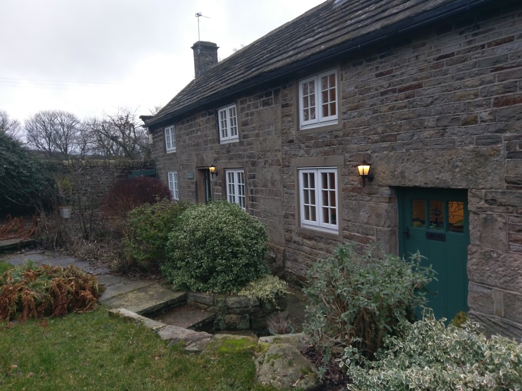
Springfield Farmhouse
Springfield Farmhouse offers charming accommodation near Sheffield, boasting exceptional hospitality and a perfect 5-star rating.
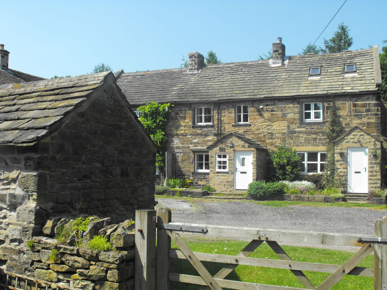
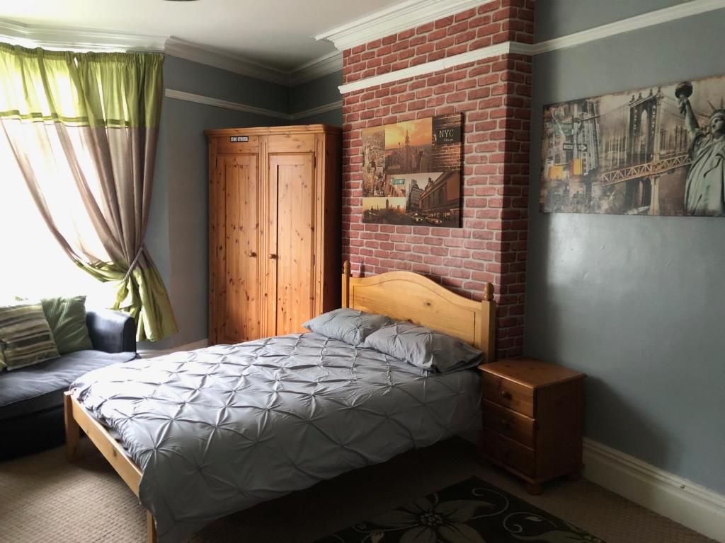
6 Bedroom Villa in Barnsley Centre
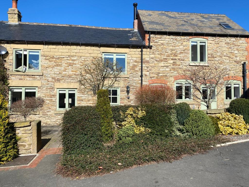
Honeysuckle Cottage
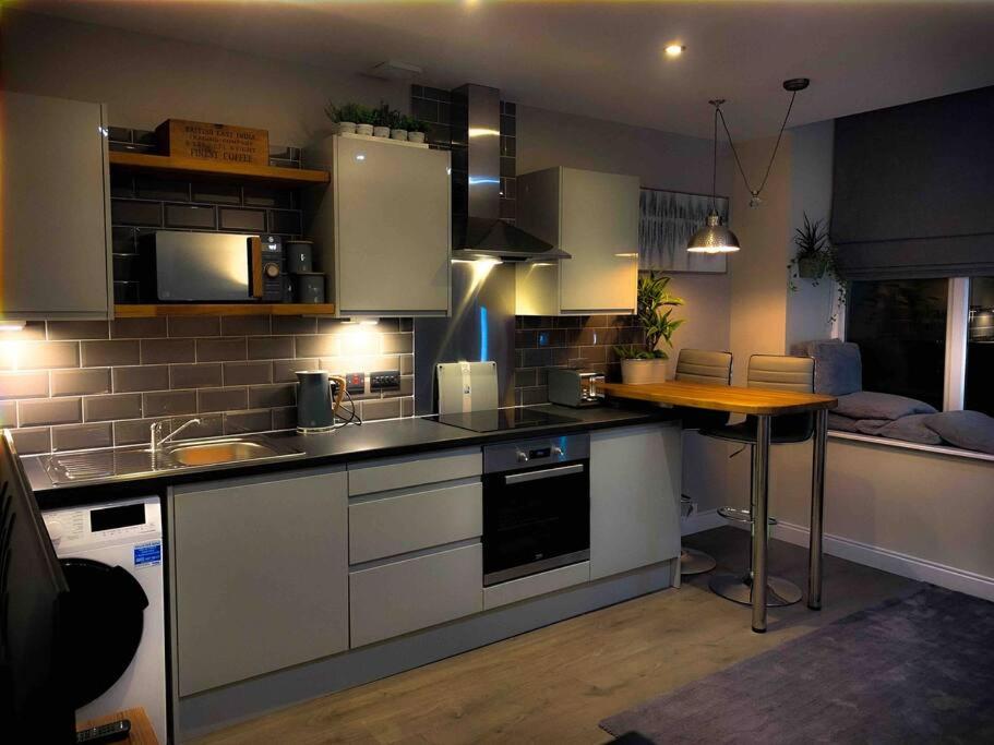
Town Hall View
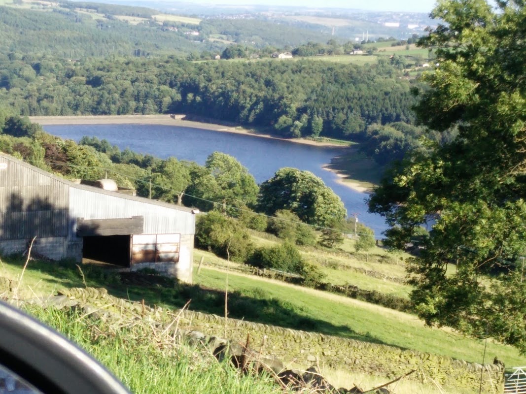
Nook Farm Holiday Cottage
Nook Farm Holiday Cottage near Sheffield offers a cozy retreat with stunning views, ideal for exploring the Peak District countryside.
Things to Do in Worsbrough
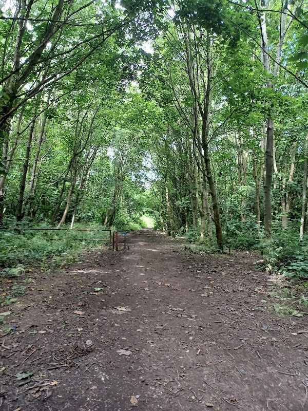
Tomcat’s wood
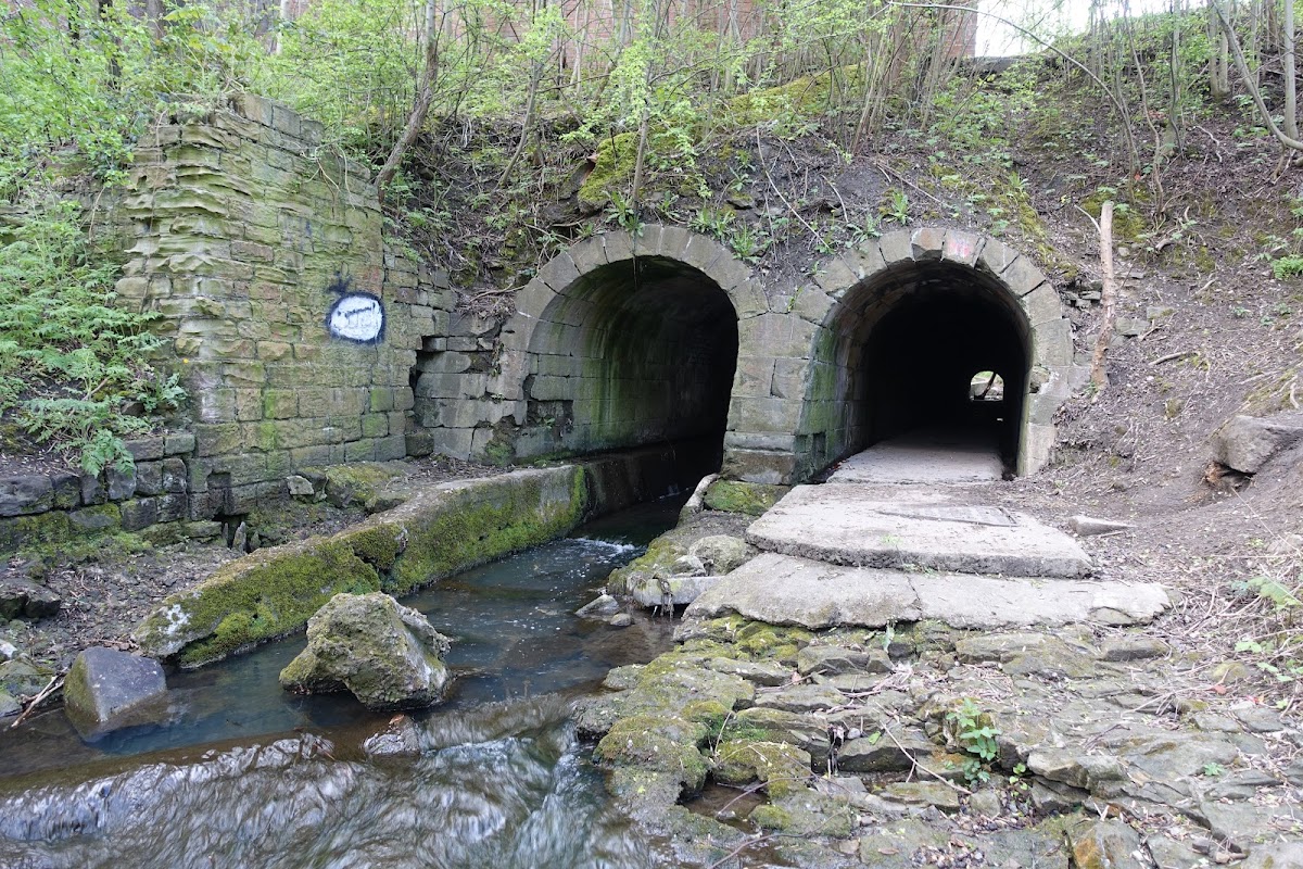
Located in the serene area of Monk Bretton, Tomcat’s Wood offers a peaceful escape for nature lovers with its charming walking paths and benches. While the parking facility is likely pay-and-display, visitors can enjoy a short, leisurely walk through the woods, perfect for a quick getaway with family or pets.
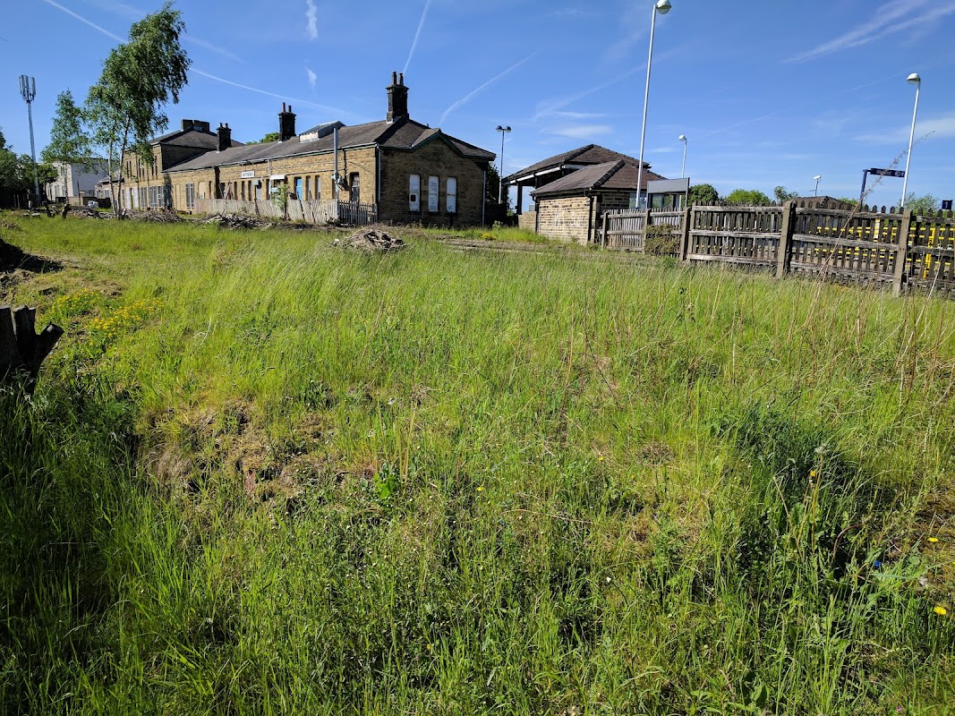
Penistone Station Wildflower Nature Reserve
Discover Penistone Station Wildflower Nature Reserve, a tranquil spot perfect for exploring the Trans Pennine Trail.
Browse by Type
Food & Drink

Intenso Cafe Bar
Discover Intenso Cafe Bar in Stocksbridge, a highly-rated spot for delicious, freshly-made food and friendly service.

Massarellas
Enjoy a welcoming atmosphere and generous portions at Massarellas, a popular cafe perfect for lunch, cake, or an iced latte in Barnsley.
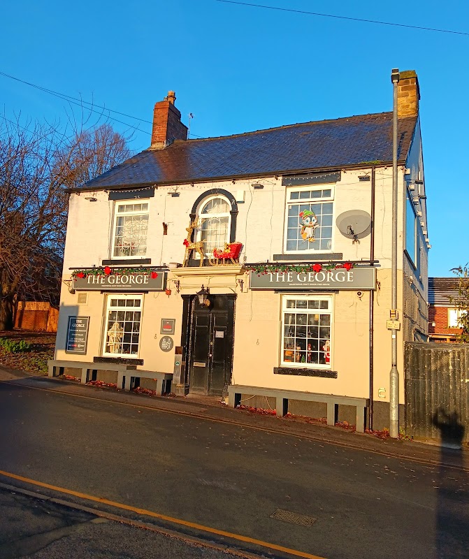
The George Hotel
Discover The George Hotel in Wombwell, a traditional and welcoming local pub renowned for its friendly atmosphere and great-value drinks.

Interactive Map
View accommodation, attractions, restaurants, and events on the map
Geographic Facts
This town is geographically within the following regions:
- Population
- 13,700
- Postcode
- S70
- Administrative area
- Barnsley
- Dialing code
- 01226
Data sourced from Wikidata and verified public records


Walkshire in Worsbrough
More Walks in Worsbrough →
Walk: Monk Bretton
Monk Bretton is a village near Barnsley known for hosting the remains of a priory. This walk takes in part of the wonderful Trans Pennine Trail. The Route what3words reference: ///freed.poetic.reds Start Point: On street parking along Tank Row, Barnsley S71 5AD Finish Point: On street parking along Tank Row, Barnsley S71 5AD Distance: 4 Miles GPX Route Map walkshiremonkbrettonDownload Walk Description From your parking spot along Tank Road, walk back towards Grange Lane and turn left. Cross over the bridge then cross over the road using the traffic island and follow the signs for the Trans Pennine Trail. Follow it around to the left and then to the right. Veer to the left and ascend the slope to meet the old railway trackbed. Turn left and follow the trackbed, crossing over Lund Road, where there once was an over bridge from the railway. Continue on the trackbed under the bridge over Pontefract Road, until you almost reach Burton Road. Here, turn left before you get to the road, and keep to the right at the junction of paths to walk alongside the industrial estate. At the corner of the industrial estate, there’s a junction of paths. Take the straight path to the right of the cluster of trees, and then veer left, keeping the cluster of trees on your left. At the end of the trees, turn left and head towards the gap in the trees ahead. Once, through, turn right, and follow the track all the way down to Littleworth Lane. Cross over the road and take the footpath straight ahead. Follow this, with the school to the left, all the way down to Rotherham Road. Cross over, and veer left to take the public footpath, which turns around to the right. At the junction of paths, head to the left, and follow this path until you see a footpath branching out to the left. Take this path, going over the bridge, then turn left and go over the other bridge. Go through the Country Park car park and continue on the trail until it reaches the A628. Turn left, walk along the road, until you see the entrance to the trail on the other side of the road. Cross over, and then take the trail all the way until Grange Lane. Then turn right to return to Tank Road to where you parked.

Walk: Wombwell Wood
An saunter through the woodland at Wombwell near Barnsley. The Route Start / Finish Point: Woodhead Ln, Hoyland, Wombwell, Barnsley S74 9SZ (just off Wombwell Wood Roundabout) Distance: 2 Miles GPX Route Map walkshirewombwellwoodDownload Walk Description From the Wombwell Wood car park, walk back towards the entrance, and turn left, to follow the hard track to the second car park. Take the path straight ahead to reach the first, smaller lake. Turn left and walk alongside the larger lake. Follow this track as it moves deeper into the wood. At the first track heading off to the left, turn left and follow this. After a while the track splits - take the left hand fork here. When you reach the end of this track, turn left, following the main cutting into the wood. After a short while, a footpath becomes clear on the right - take this, and follow it through the trees and out onto a clearing with a junction of paths. Turn left here, and then next right, to take you back to the opposite side of the car park.

Walk: Worsbrough Mill Country Park
An easy walk around some of the 240 acres of tranquil grounds around Worsbrough Mill - a 17th Century working water mill - and Worsbrough Reservoir. Located just 2.8 miles from the centre of Barnsley, Worsbrough Mill Country Park covers over 240 acres and holds Local Nature Reserve status. Sculptures, murals and trails are dotted around the park. The Route what3words for start point: ///vibrate.reason.shin Start Point: Worsbrough Mill Country Park car park (S70 5LJ) Finish Point: Worsbrough Mill Country Park Distance: 2 Miles GPX Route Map walkshireworsbroughmillcountryparkDownload Walk Description Walk from the car park down towards Worsbrough Mill. Just as the road turns to the right, take the track to the left and walk along to the end of the hedgerow. Look sharp left and head towards the gap in the wall in the distance. Carefully cross the A61 road and go through the gap in the wall on the other side of the road. Take the right path through the trees and then follow the path on the ground to the right back towards the A61. Go through another gap in the wall, and carefully cross the road again, finding the footpath sign to your left. Follow this track into the wood and turn right along the footpath just before the third bridge. With a drain on the left and woods of the right, follow the path as it snakes around. Just after the path enters the woodland completely, cross over Brough Green Brook using the footbridge. Ignoring the path to the right, leave the wood and reach Haverlands Lane. Turn right and carefully walk along this road. There is only a small grass verge here, so care is required to be safe. The road turns to the left, then right, then just as it turns to the left again, take the Trans Pennine Trail entrance on the RIGHT. Walk along the TPT for a short while, and just at a junction of paths turn right, then left, to follow the path over a footbridge to walk on the shore of the reservoir. At the dam on the right, go straight on through the trees and around to the right, on a road which runs diagonal away from the dam. Turn right over the bridge, and follow the signs past the Mill back to the car park. Afterwards Check out Miller's Tearoom at Worsbrough Mill for a cuppa.

Walk: Trans Pennine Trail
The Trans Pennine Trail is a long-distance path running from Southport on the West coast to Hornsea on the East Coast, across Northern England entirely on surfaced paths and using only gentle gradients. The Route Start Point: Southport Finish Point: Hornsea Distance: 208 Miles GPX Route Map transpenninetrailDownload Walk Description The main west–east trail starts at Southport, then heads south through the suburbs of Liverpool, through Widnes, Warrington, Manchester, Stockport and Hadfield. It then crosses the Peak District, heading up the Longdendale valley via the Longdendale Trail to Woodhead, then down through Dunford Bridge and Penistone, Doncaster, Selby, Hessle, Hull and Hornsea. This route covers 207 miles (333.1 km). Between Southport and Selby it is National Cycle Network, Route 62 and from Selby to Hornsea, NCN Route 65.