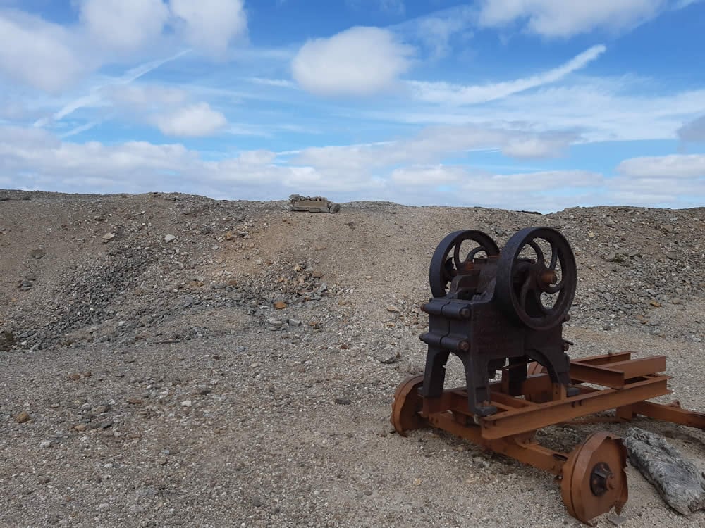
A lunar landscape greets the walker who ventures on to the moorland above Reeth in Swaledale. The lead mining activity that dominated the dales is evident everywhere.
The Route
- what3words for start point: ///gain.cupboards.comet
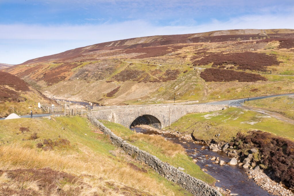
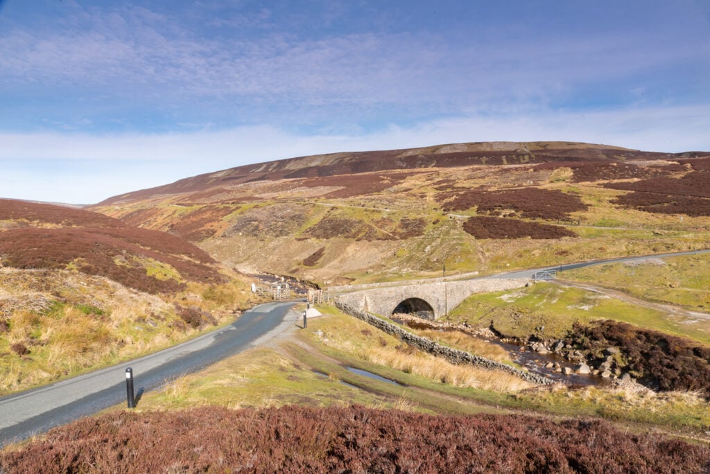
- Start Point: Surrender Bridge above Reeth (on the high road between Arkengarthdale & Low Row)
- Finish Point: Surrender Bridge
- Distance: 6 Miles
GPX Route Map
Walk Description
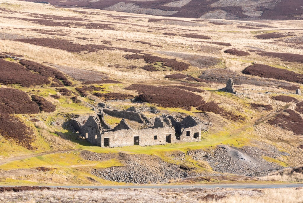
From Surrender Bridge a major bridleway climbs steadily along the Old Gang before arriving in to the grey wastes above the river. Here spoil heaps, rusted machinery and the remains of 19th century stone buildings pepper the landscape. Take some time to imagine this area as a hive of activity in times past, buzzing with people and noise. A short detour to the high point of Great Pinseat completes an excellent and not difficult circuit from above the village of Reeth.
