Head on to the moors above Osmotherley for an excellent walk with extensive views. Return along the Cleveland Way on the escarpment overlooking the Vale of York.
The Route
- what3words reference point: ///finer.stubborn.losses
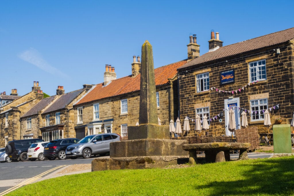
- Start Point: Osmotherley, Hambleton, North Yorkshire
- Finish Point: Osmotherley, Hambleton, North Yorkshire
- Distance: 10 Miles
GPX Route Map
Walk Description
Leave Osmotherley to the south and climb steadily up to the moors. The path passes the reservoirs of Jenny Brewster, hidden in some attractive woodland. Cross the moors for 3 miles, the main feature being a shooting hut which is a good spot to enjoy your picnic!
On arrival at the edge of the moors the path turns west and follows a good track in the forest. Cross a moorland road at Scarth Nick and continue along the Cleveland Way before arriving back at Osmotherley.
