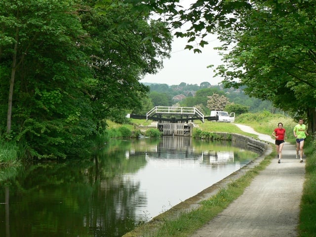
Follow the Leeds & Liverpool Canal and the River Aire from Leeds to Bingley on this waterside cycle or walk.
The Route
GPX Route Map
Walk Description
what3words for start point: ///swung.landed.notion
Follow the Leeds & Liverpool Canal and the River Aire from Leeds to Bingley on this waterside cycle or walk. The route runs for about 16 miles following National Cycle route 66 past Kirkstall Abbey, Bramley Fall, Rodley, Calverley Woods, Apperley Bridge, Thackley, Shipley, Hirst Wood and Dowley Gap with both countryside and urban sections to enjoy.
