
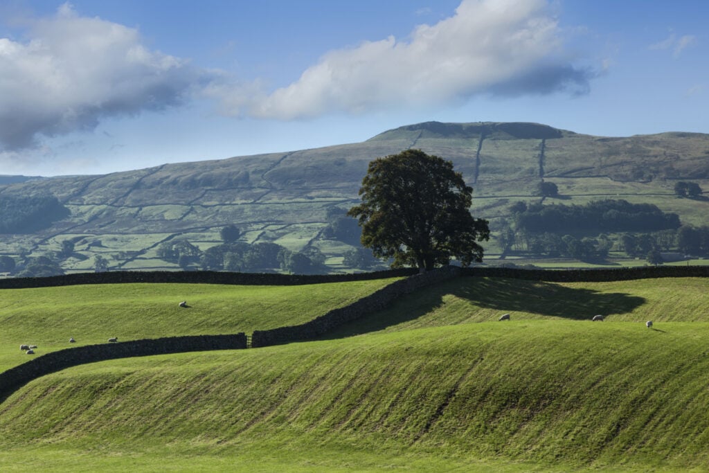
In Upper Wensleydale near Hawes is a lovely short walk. Linking the villages of Burtersett and Gayle the highlight is the stunning views down the dale, perfect on a long summer's evening.
The Route
- what3words for start point: ///reliving.breeze.mealtime
- Start Point: In Gayle village
- Finish Point: Gayle
- Distance: 3.5 Miles
GPX Route Map
Walk Description
From the village of Gayle (or start in Hawes) climb gradually through fields of sheep to meet Shaws Lane. The lane lies on the flanks of Wether Hill and is high enough to provide excellent views down Upper Wensleydale. In a short distance the lane drops in to the lovely village of Burtersett. Take some time to explore the village before returning along a lower footpath and joining the quiet road back to Gayle.
